Ron & Jan's Favorite Day Hikes
Local Hiking Guide Near Banning
Maps, Images and Information
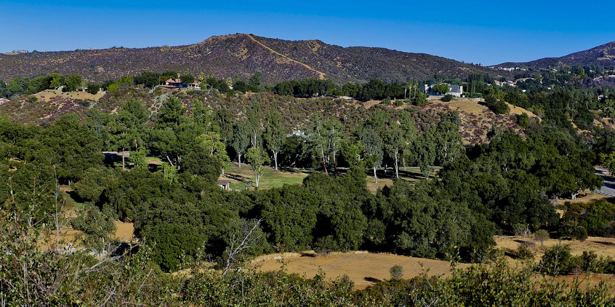
Here you will find some of our favorite hikes located in areas around Banning. Beaumont, San Timoteo, Hemet, Yucaipa and Redlands all have many hiking trails to choose from. All of the hikes we have posted are easy low impact hikes except Bogart Park which has a little bit of a steep trail, but not bad. The Wildwood park in Yucaipa is across the street from Wildwood Canyon State Park. All of these hikes are on well established and marked trails. All except San Timoteo hikes are at parks with picnic tables, rest rooms, and other amenities.
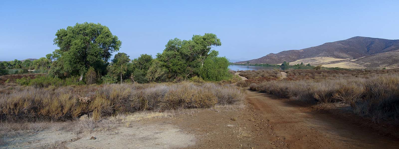
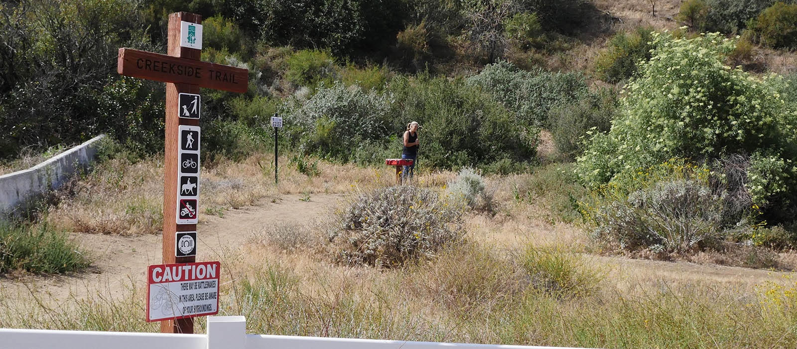
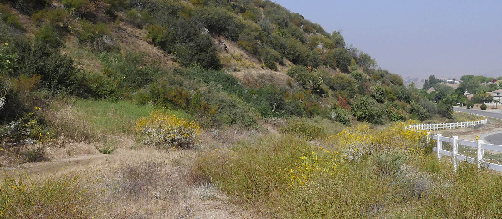
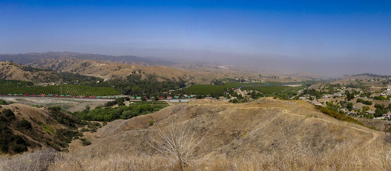
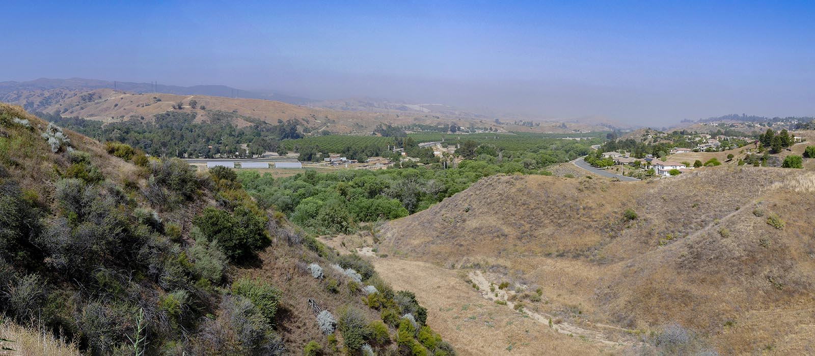
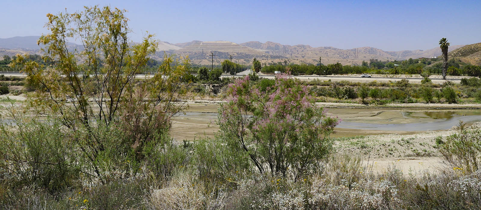
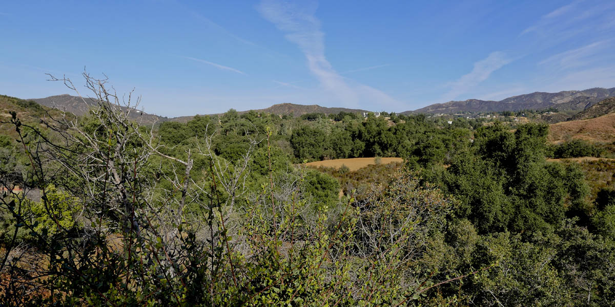
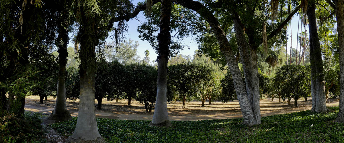
San Timoteo Creekside Trail
Length 1.2 miles | elevation 164 feet | out and back
This is a nice easy hike up to the top of the hill. The trail is a little narrow with steep drop offs but never gets difficult . there are stops with benches along the way and plenty of beautiful views of the valley. You can rest a the bench at the top before desending back down.
The 1.3 mile, 145 ft elevation trail is clearly marked from the street. From San Timoteo Canyon Rd head north on Alessandro (the only way to turn) and take the first right on Creekside. Go all the way down to the end of the paved road and park on the right. If you want to extend your hike you can Get back in your car head back to alessandro and turn left. Just a little ways on the left you will see a parking lot. This the start/end to the Carriage Trail .
Click HERE for more images
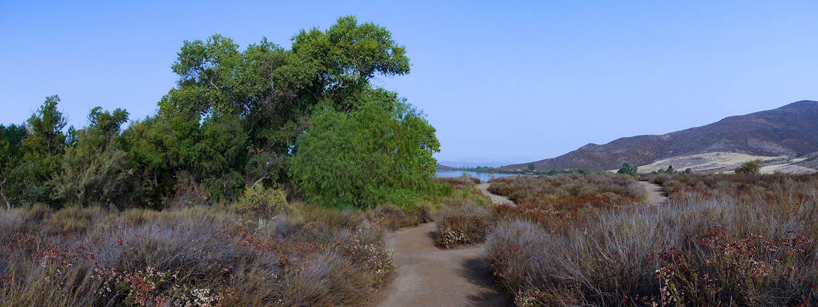
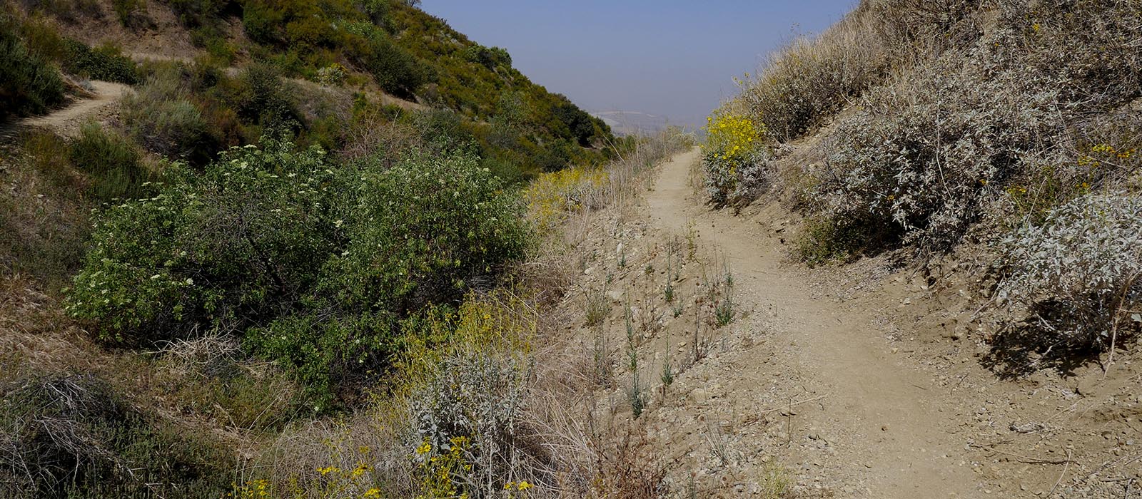
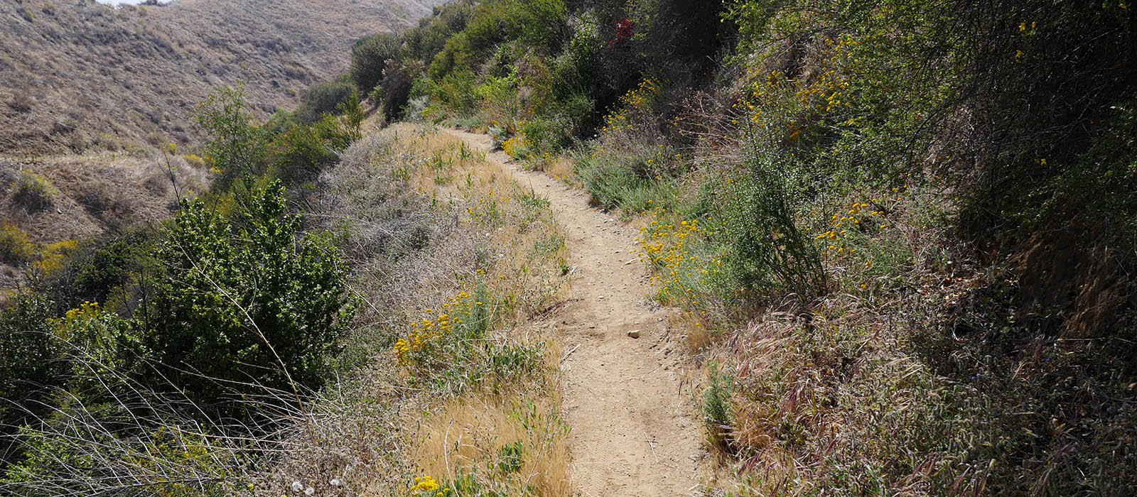
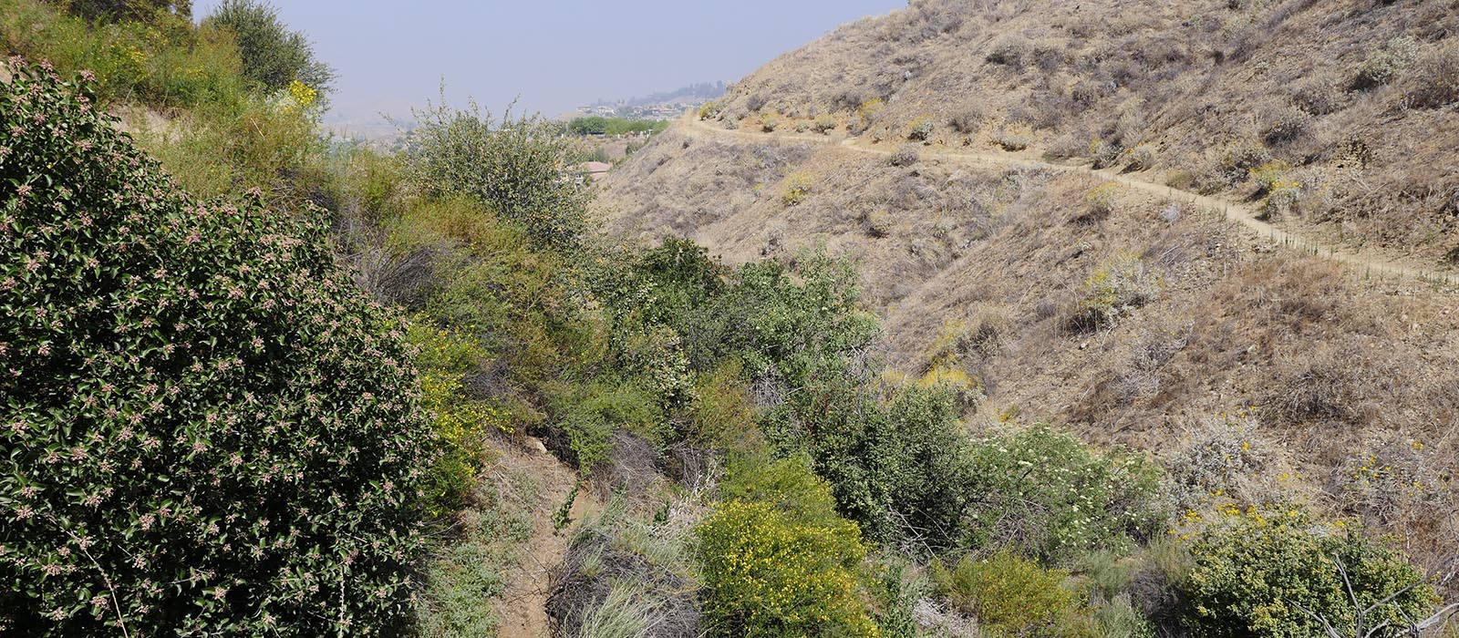
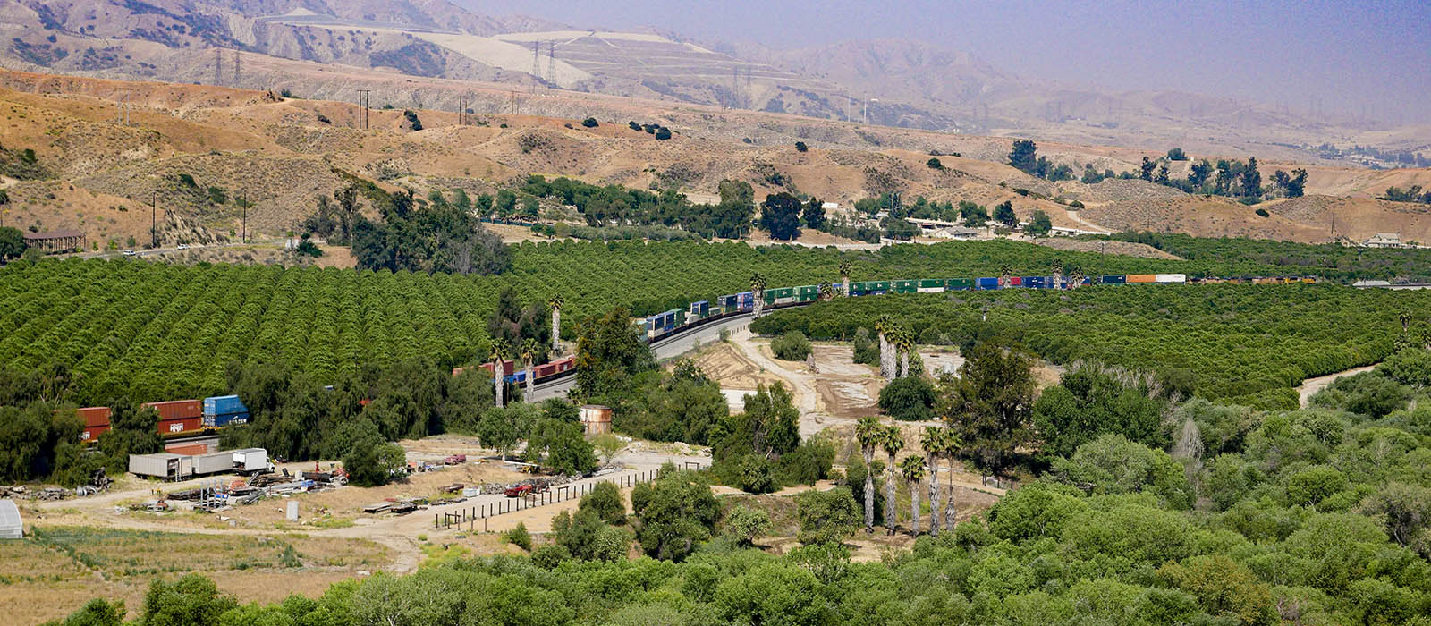
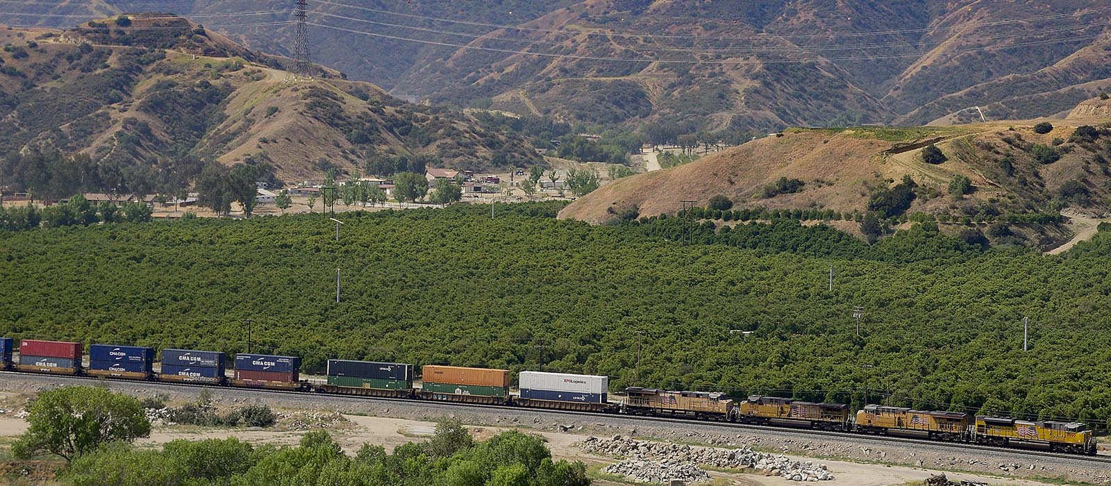
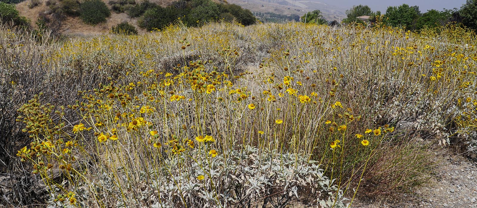
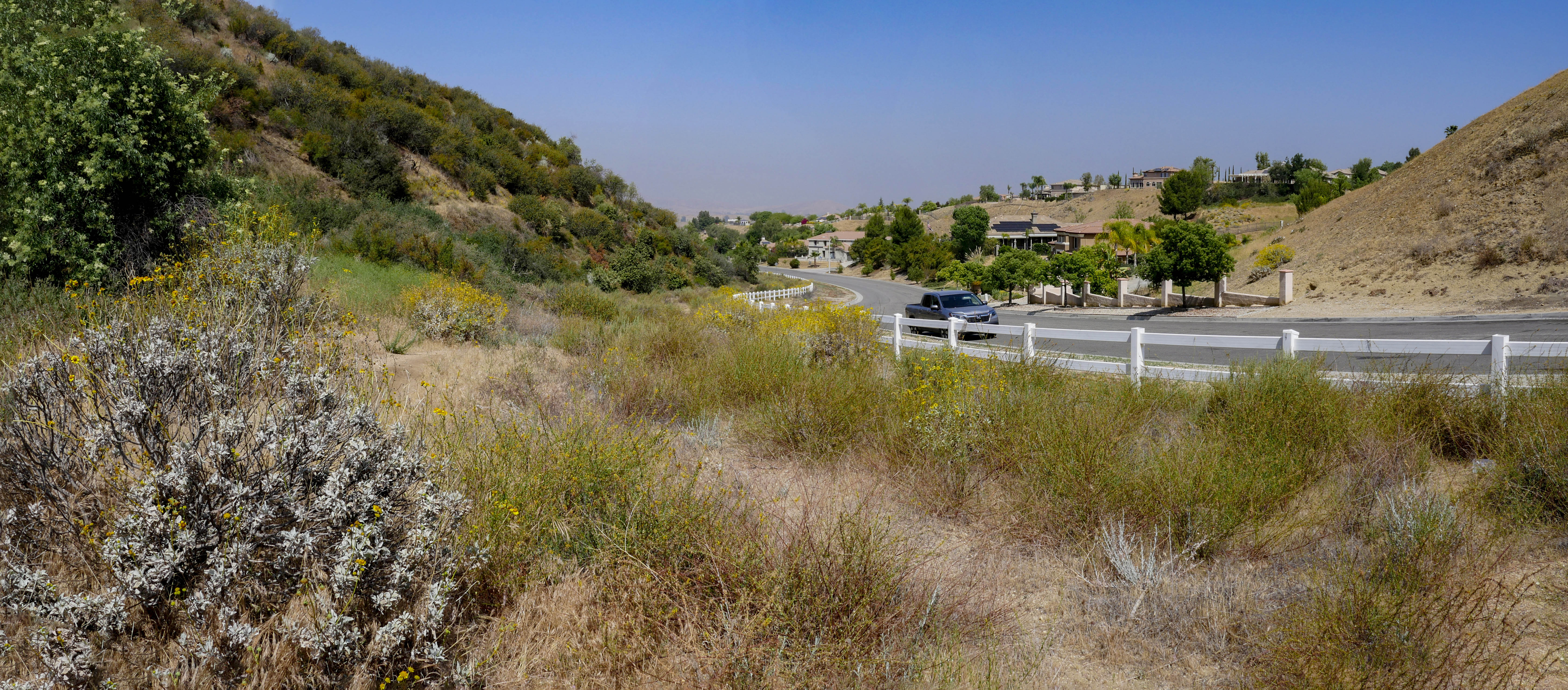
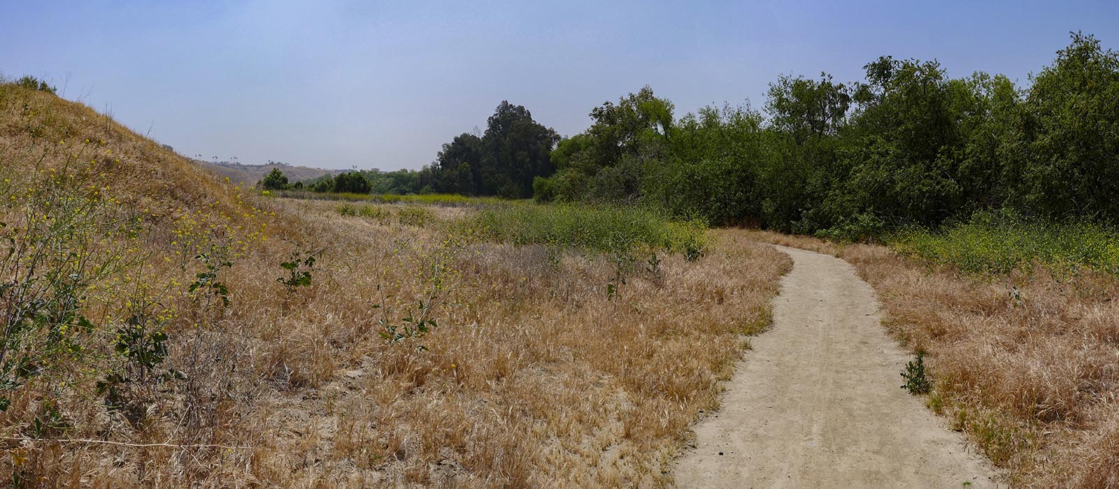
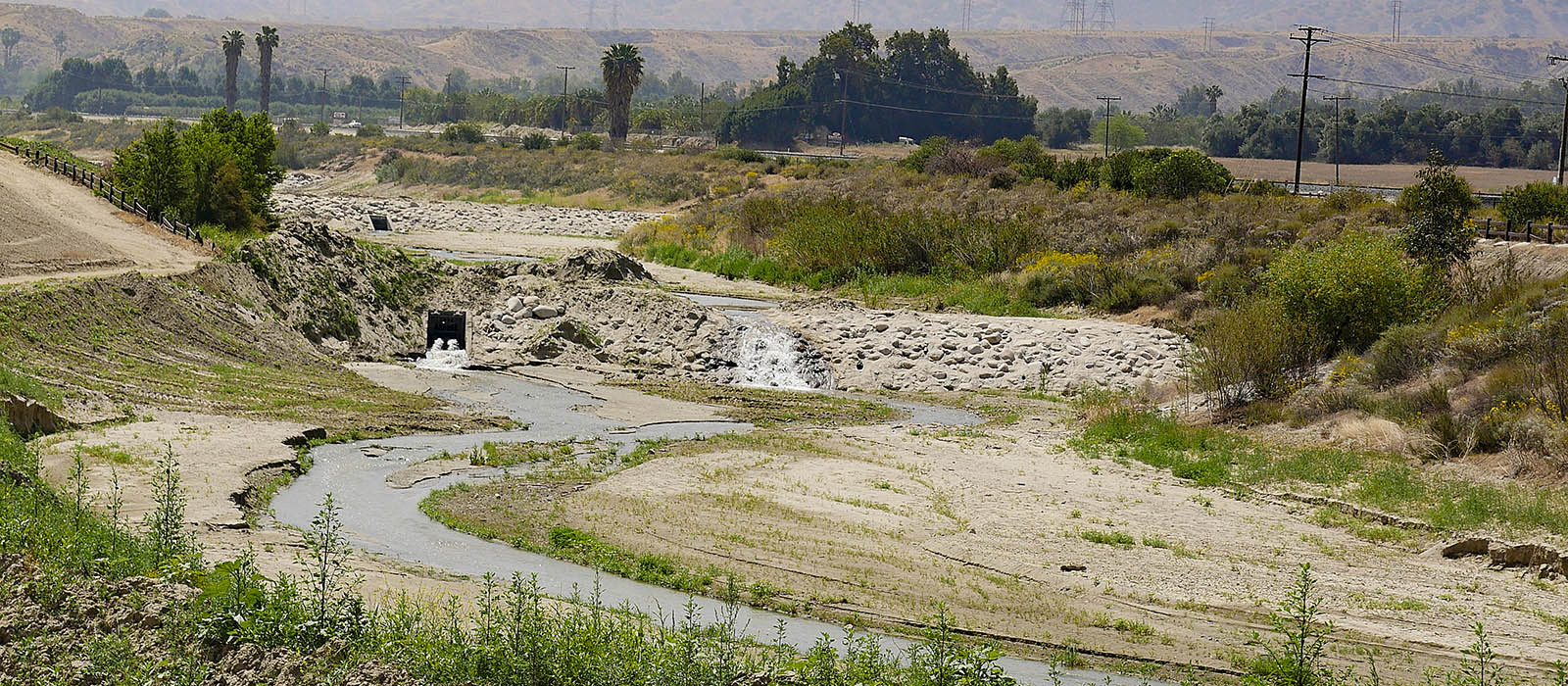
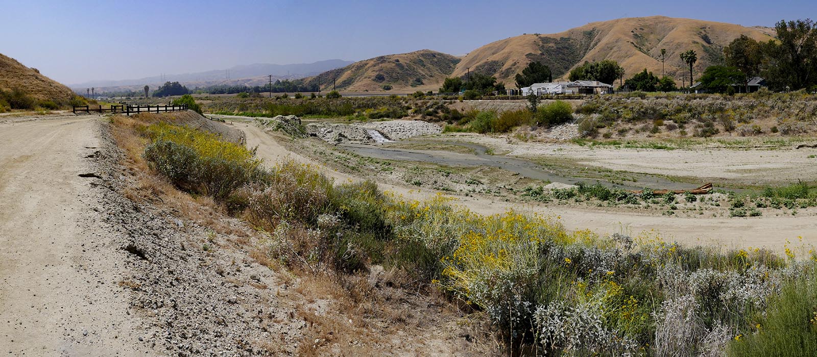
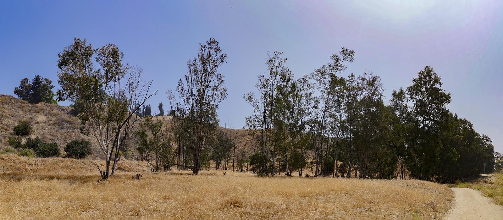
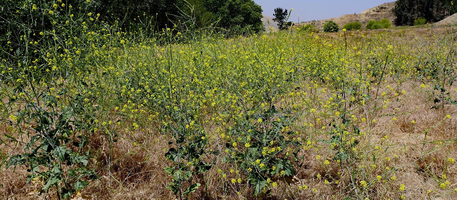
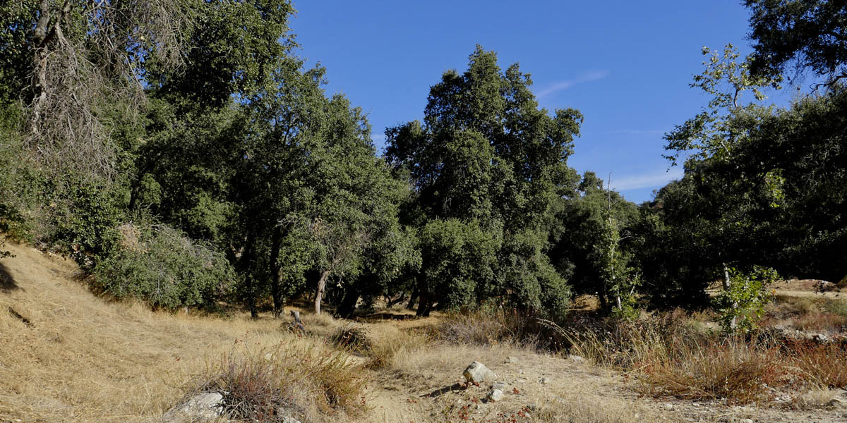
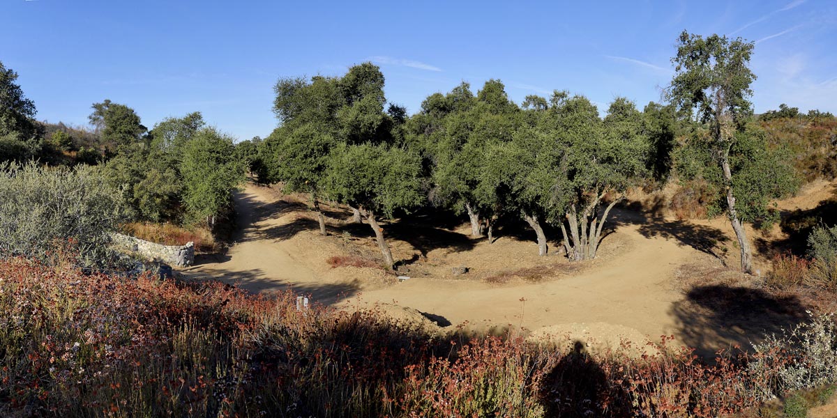
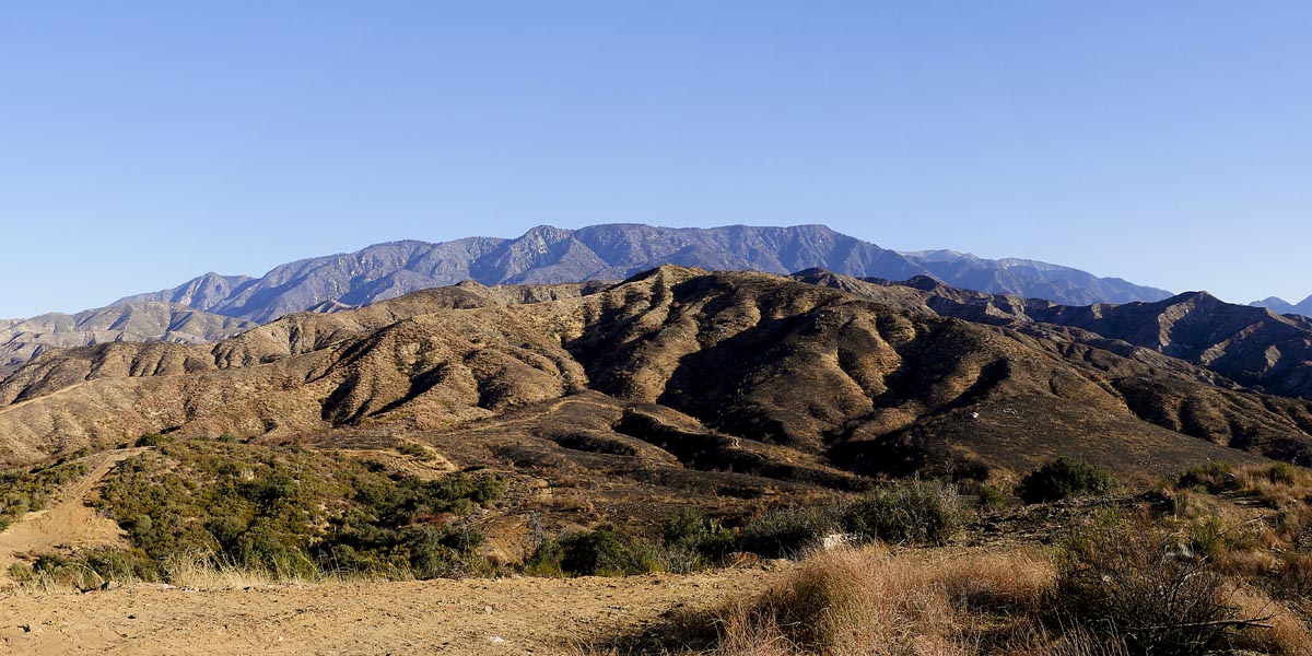
San Timoteo Carriage Trail
Length 5 miles | elevation 275 feet | out and back
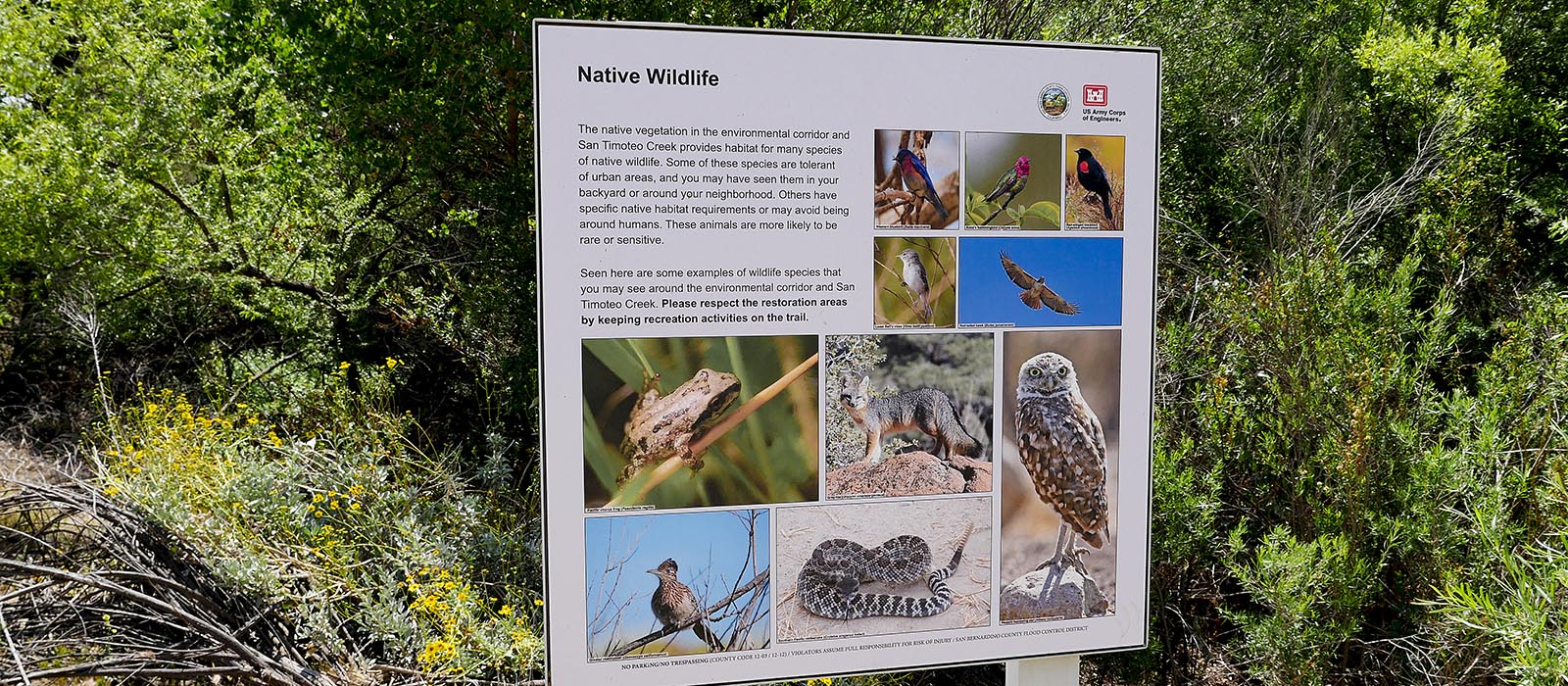
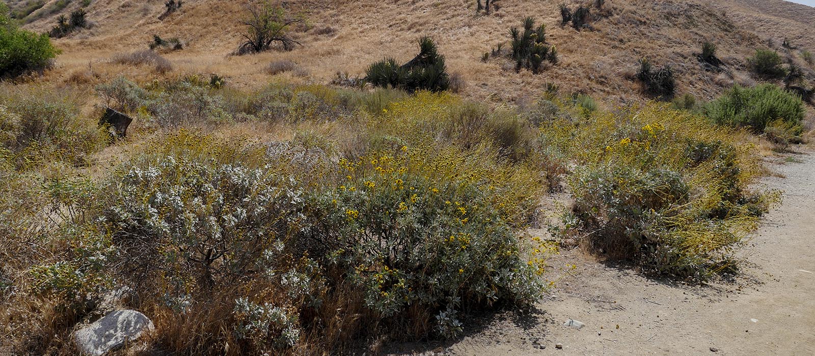
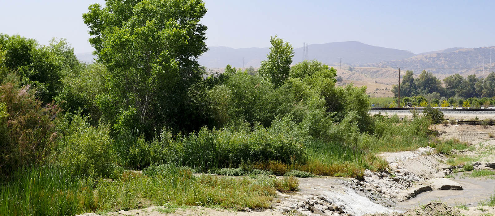
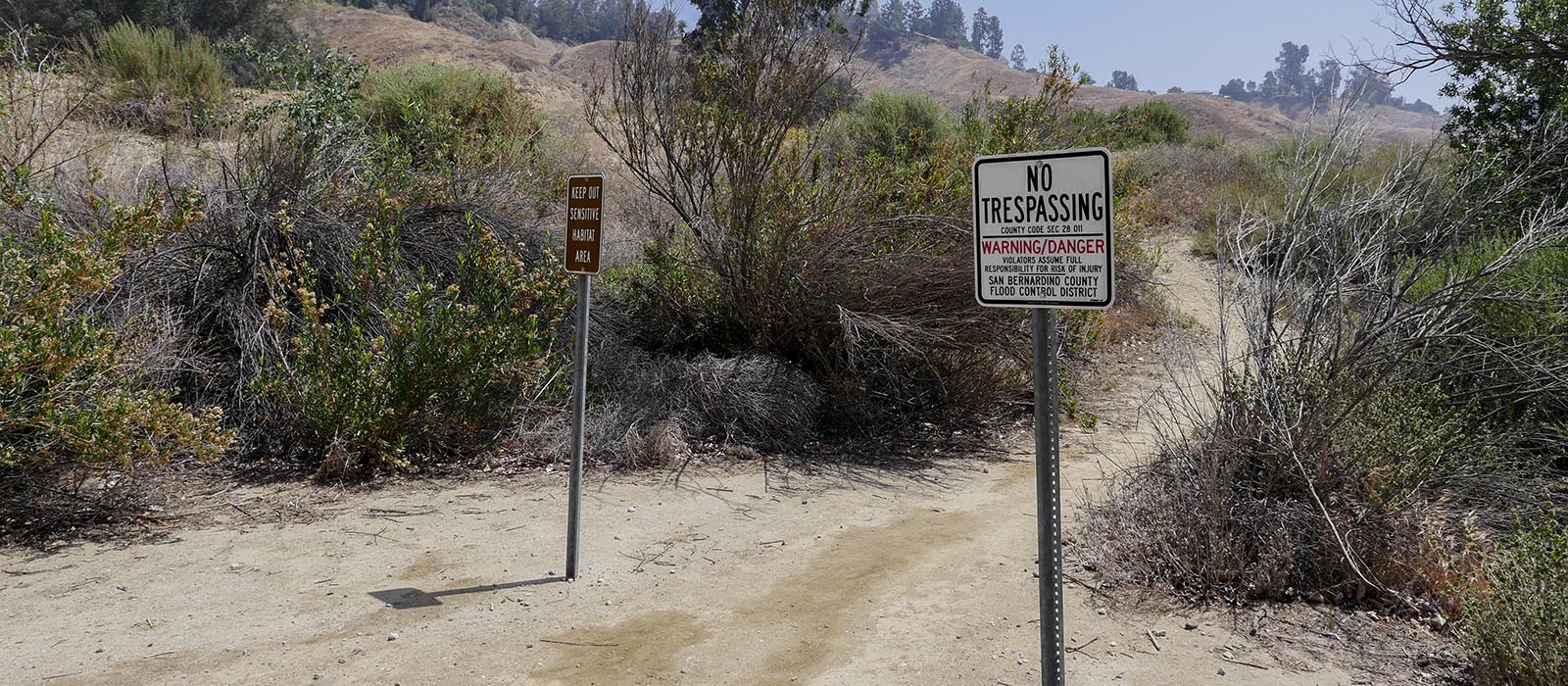
The Carriage Trail is part of the San Timoteo Nature Sanctuary. The trail winds through the foothills and along the wash . This is an easy hike with some elevation and plenty of birds and other animals. It is used a lot by mountain bikers so be careful going around corners. go to their website for more information or alltrails.com for trail maps & info.
The 4.9 mile loop ( 295ft elevation) trail can be accessed from either Fern (west end) or Alessandro (east end. You will see parking and a trailhead at both ends). If you want a longer hike at alessandro head south turn left on creekside and follow white fence to Creekside Trailhead. There are no rest rooms or water. Make sure to bring plenty of water.

Click HERE for more images
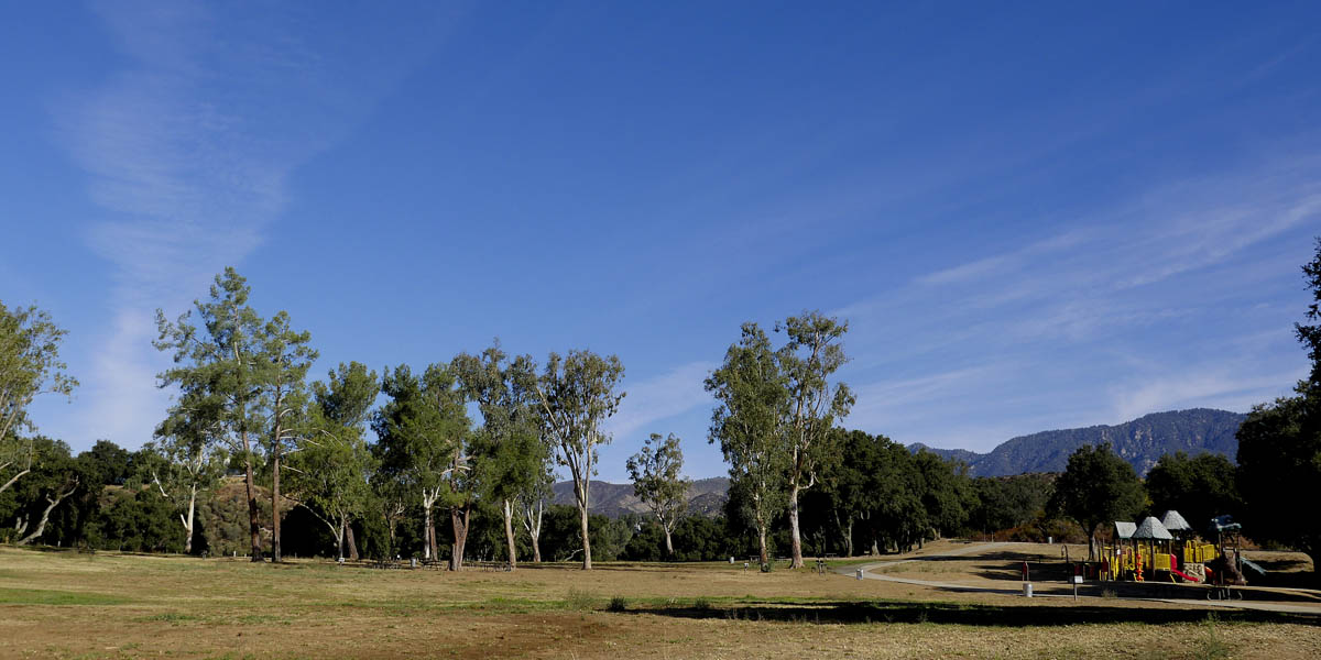
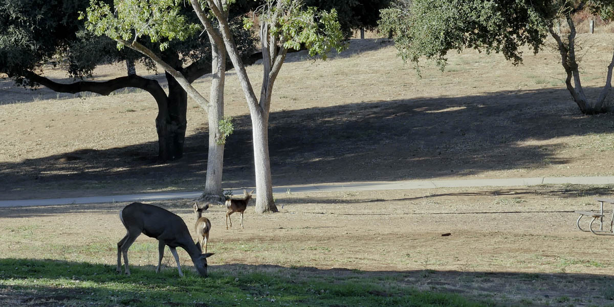
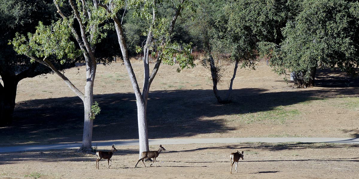
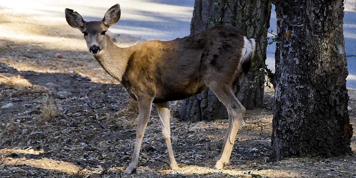
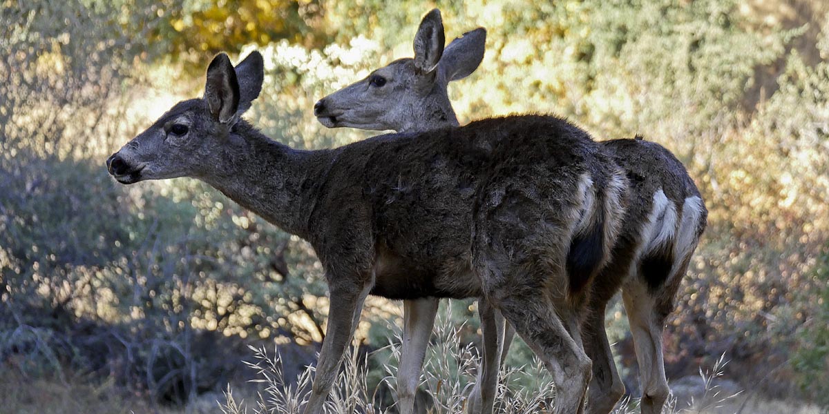
Bogart Park
Length 1.7 miles | elevation 177 feet | easy loop
A nice park with camping, horseback riding and day use. There are many trails to use offering views of the surrounding area as well as deer & other animals. It is open year round but best in spring when flowers are blooming. Day use fee is $10.00. Check their website for more information or alltrails.com for trail maps & info.
the 2.1 mile trail we like to hike starts from the upper parking Lot. Follow trail on the left through the park until you see the Candlelight Trail Trailhead. Hike up to the top and take the dirt road back down . Hike through the park keeping an eye out for deer. Cross the road and take the trail next to it (Bogart Trail). Follow it up the the horse staging area and follow the road all the way back to the upper parking lot.
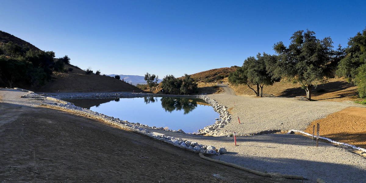
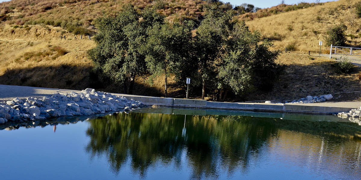
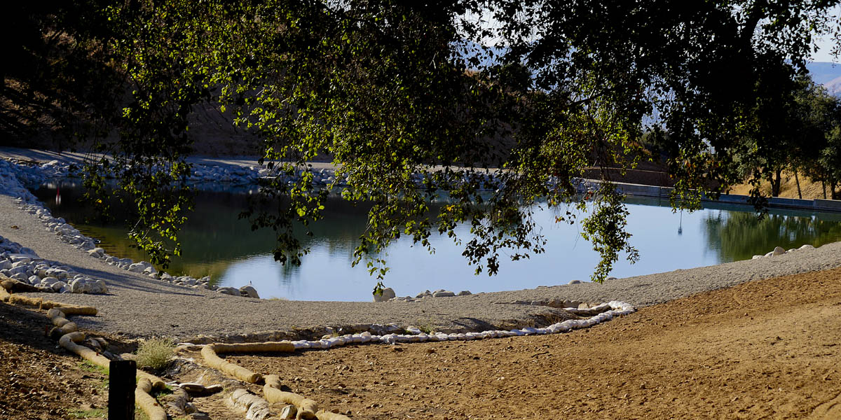
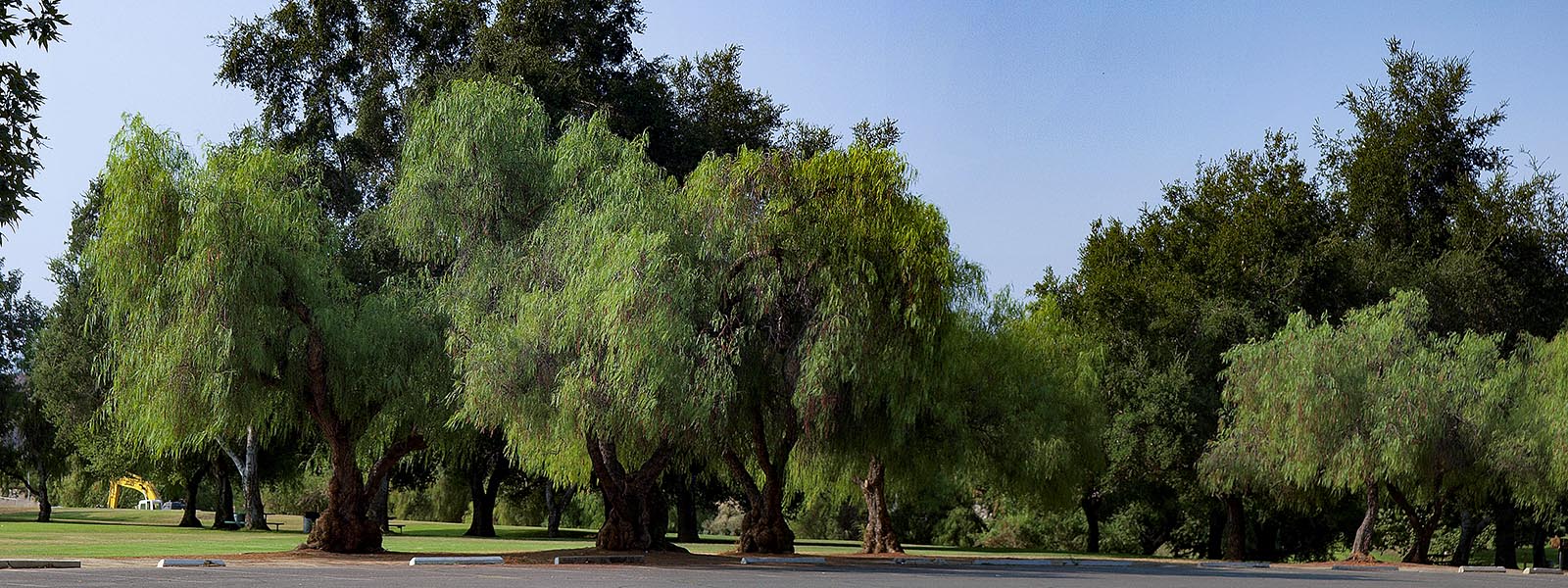
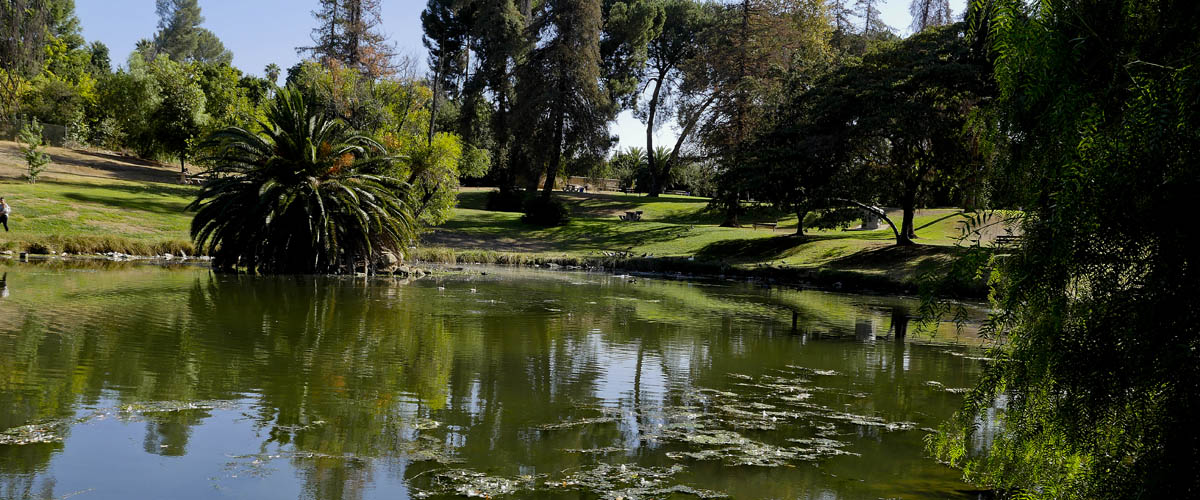
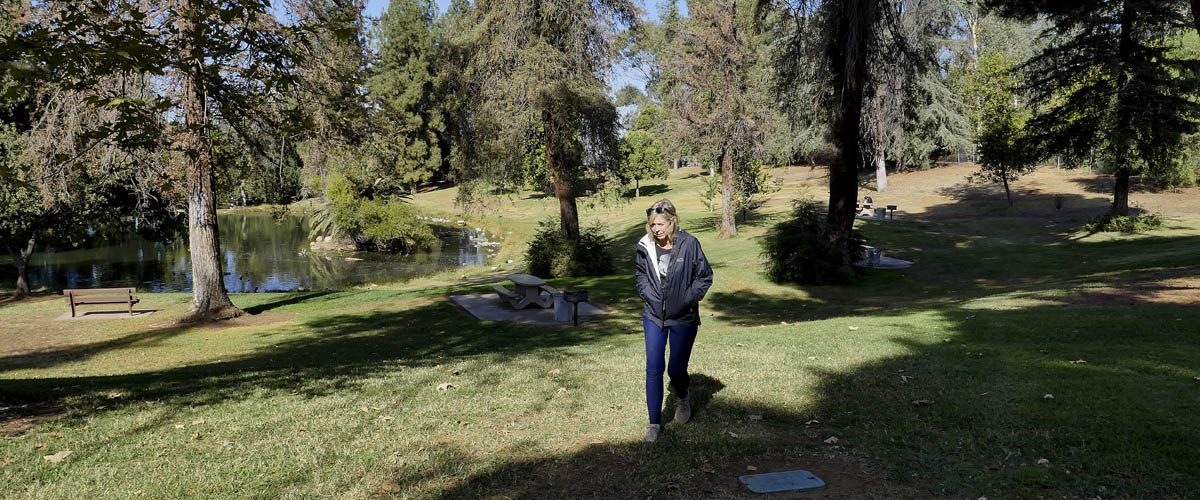
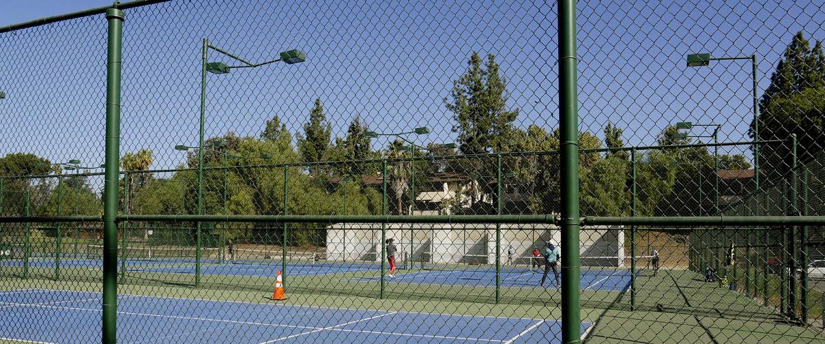
Ford Park
Ford Park is a nice quiet park with rolling hills and a pond .The 27 acre park has a plenty of picnic areas, lighted tennis courts and a dog park. We usually walk the perimeter of the park a couple of times zig zagging over to feed the ducks in the the pond.

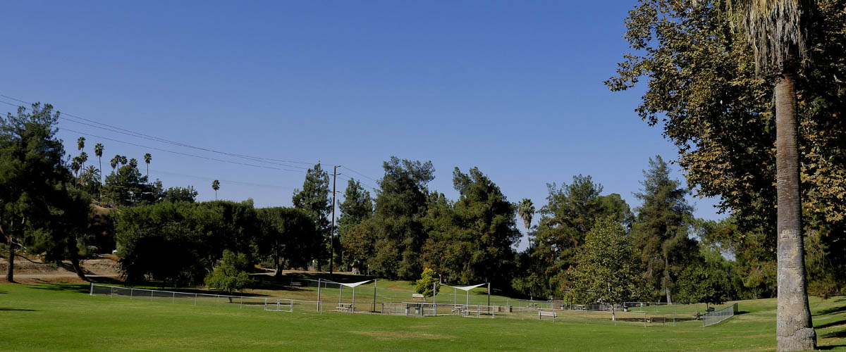
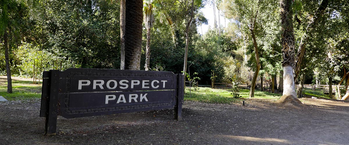
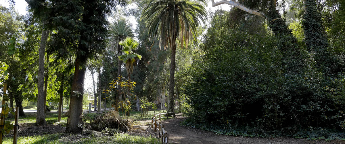
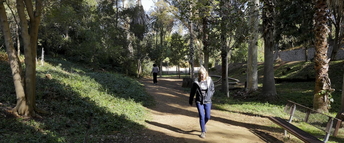
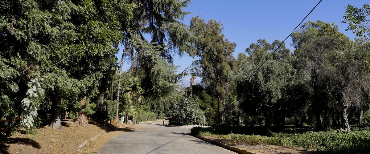
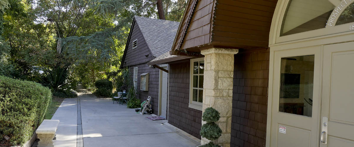
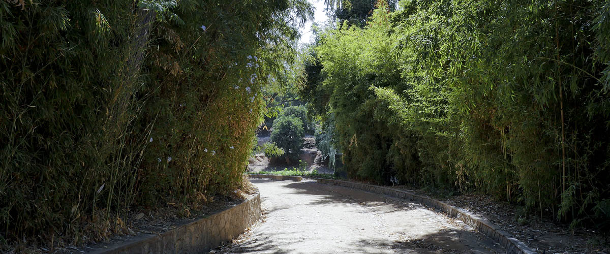
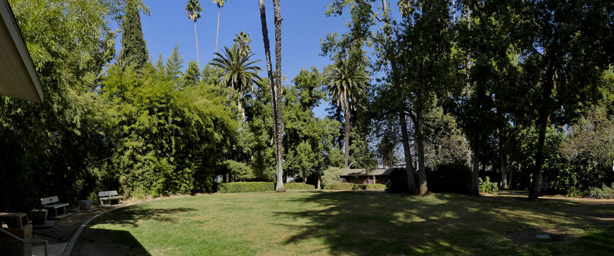
Prospect Park
Length 1.6 miles | elevation 115 feet | out and back
An 11.4 acre natural park with trails and picnic facilities. The park contains the Avice Meeker Sewall Theater. The theater is home to the Redlands Summer Theater Festival. The park is located at Cajon Street and Highland Avenue.
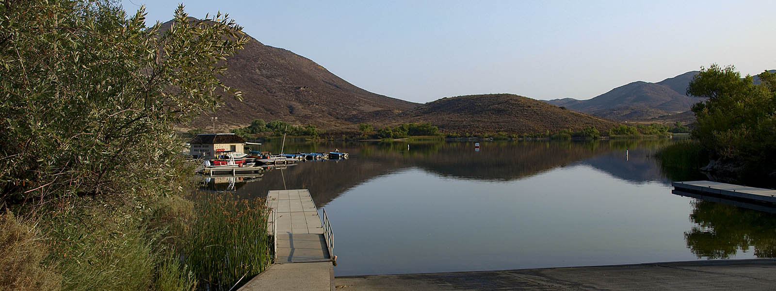
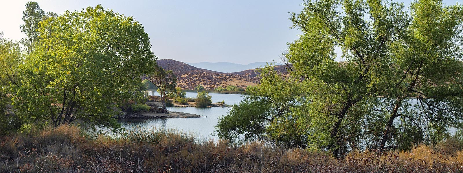
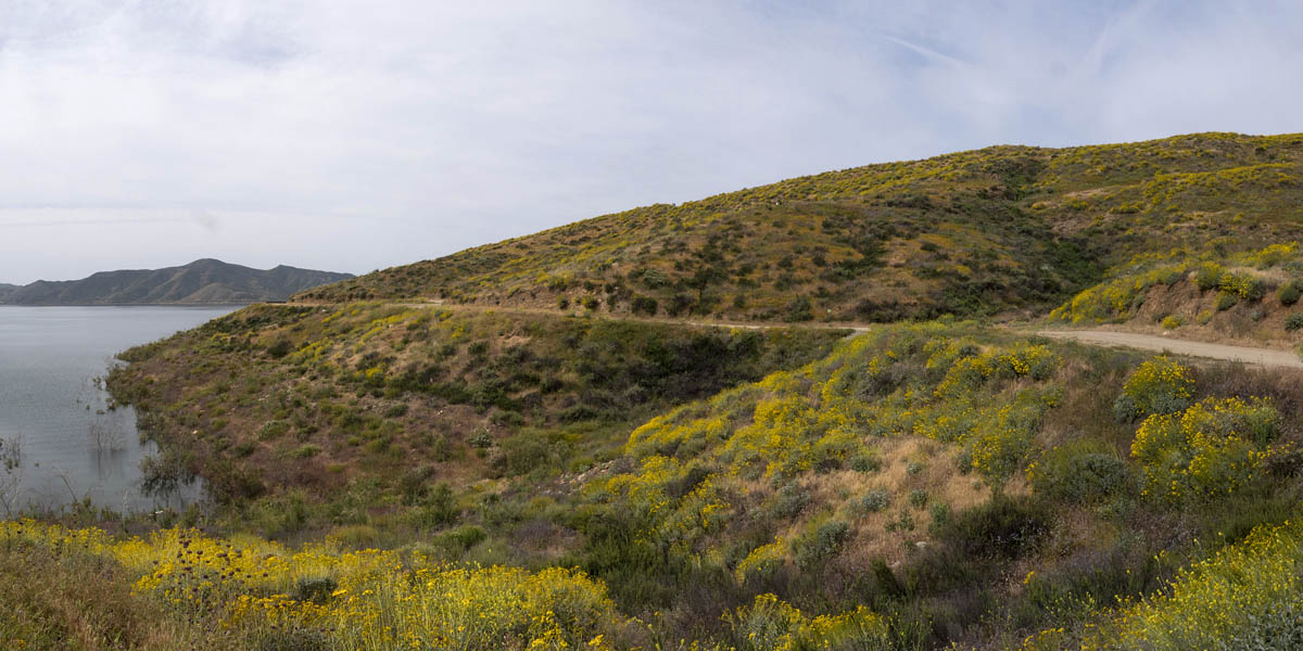
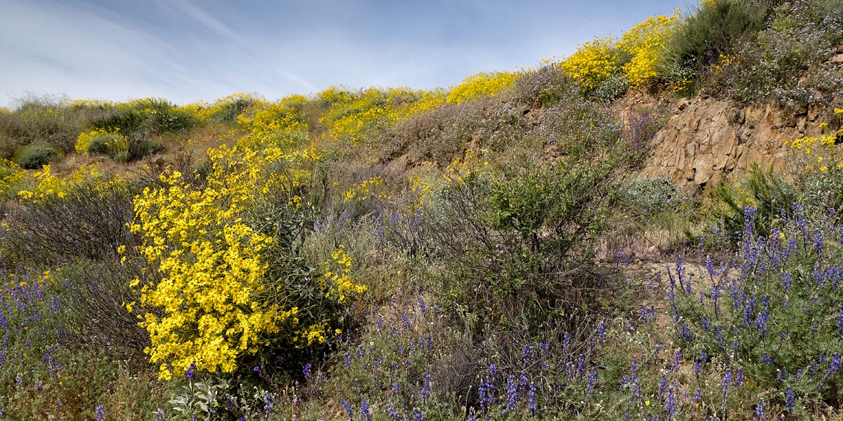
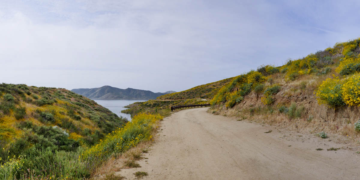
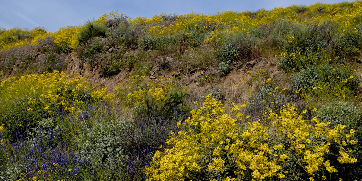
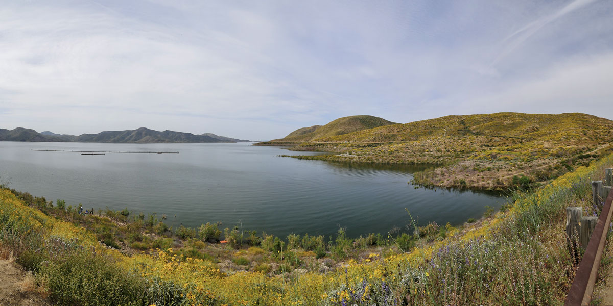
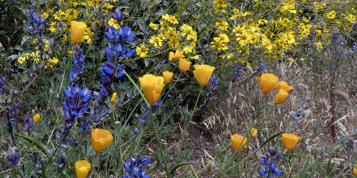
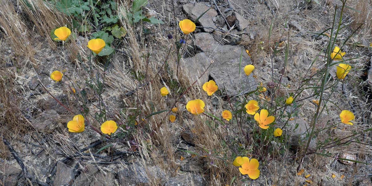
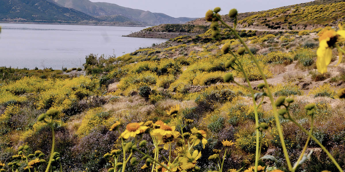
Diamond Valley Lake
Length 2.1 miles | elevation 282 feet | out and back
This is a man made lake with hiking trails, boating and other activities. During spring when the wildflowers are out is the best time to go. Parking is $10.00 and trail fee is $3.00 per person. You can check their website for dates & more info.
the best time to hike is Spring when all the wildflowers are blooming. The mile trail is well marked and easy to navigate.
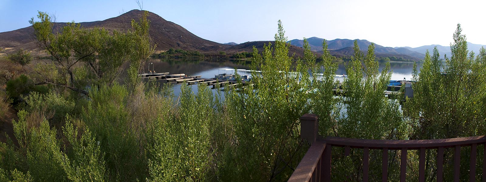
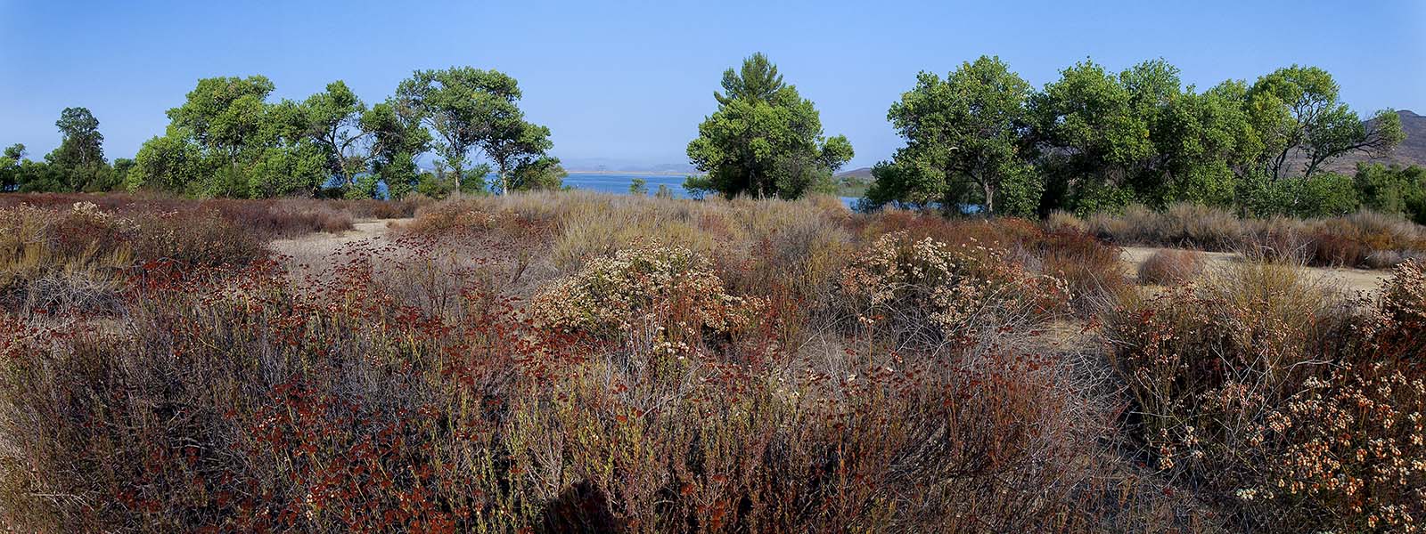
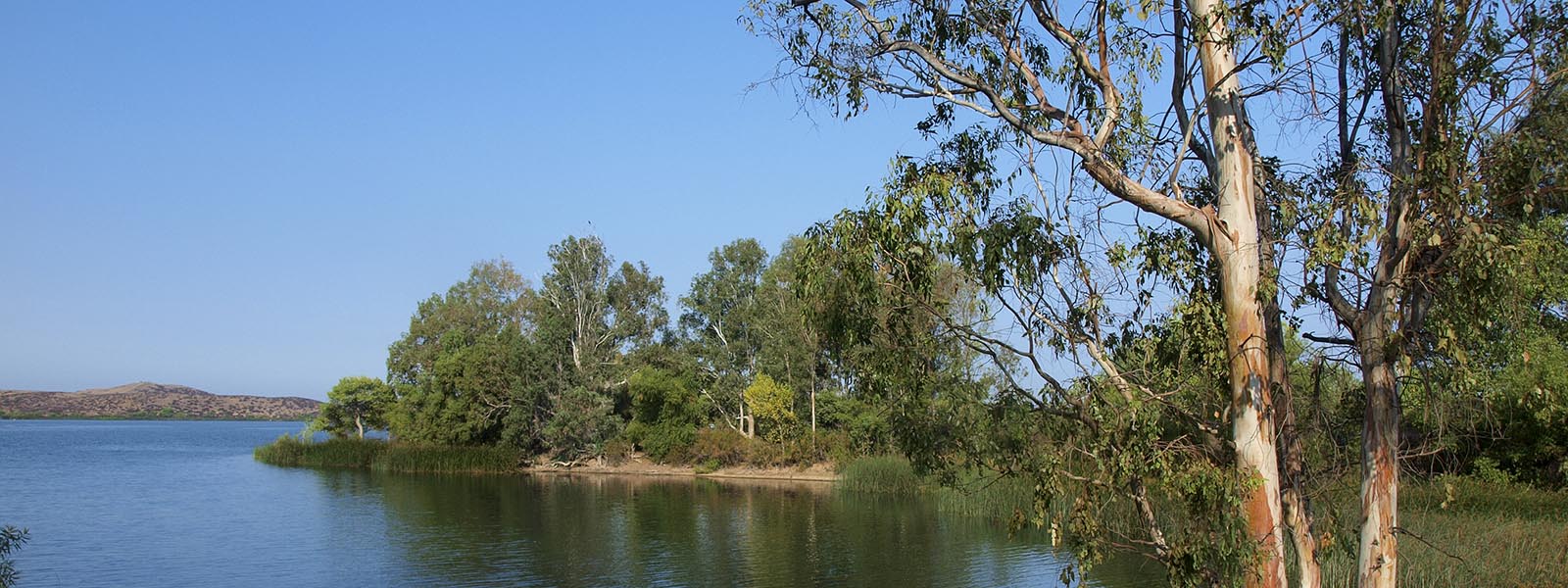
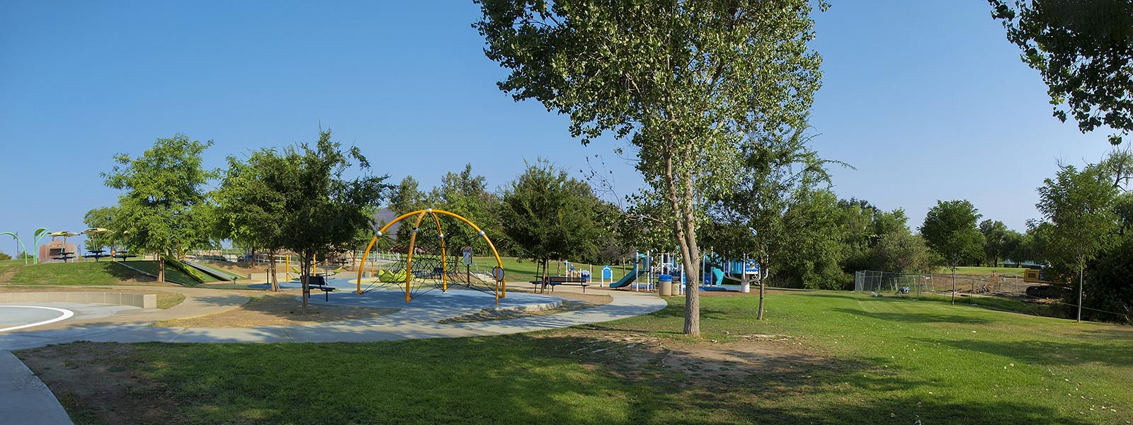
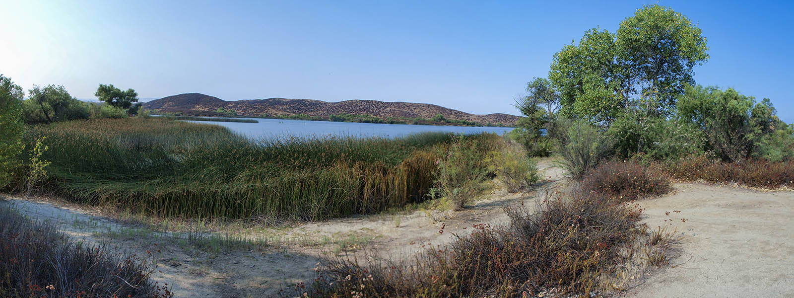
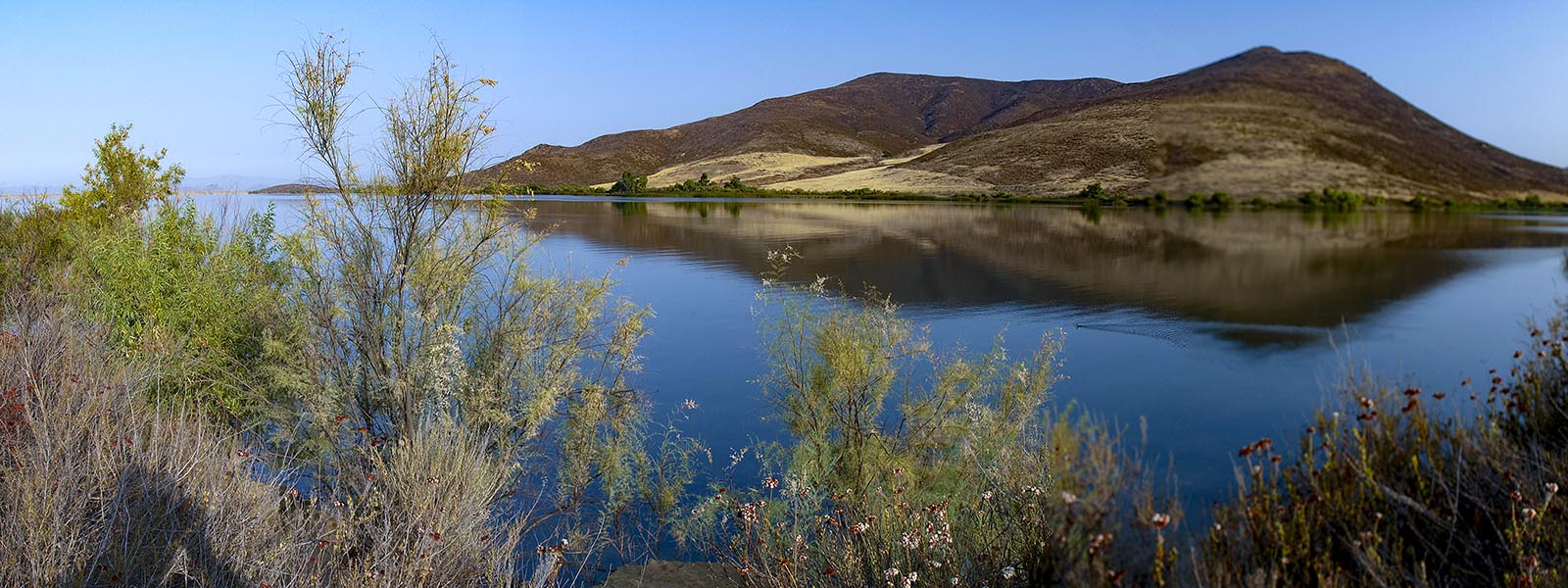
Lake Skinner
Length 3.7 miles | elevation 111 feet | Loop
Nestled in the rolling hills of Winchester, CA, beautiful Lake Skinner Recreation Area offers visitors expansive natural vistas and invigorating recreational opportunities, including camping, picnicking, splash pad, hiking, horseback riding, sailing, and fishing. All boating activities must be non-body contact (no swimming, skiing, etc.)
Most hiking trails are wide and maintained. You can easliy explore much of the shoreline as there are many trails leading to the water, but you may have to backtrack to get around swamp areas and reeds. It is impossible to just follow the shoreline, but you can easily navigate the many trails.
There are plenty of rest rooms and picnic areas as well as a splash zone for the kids. It does cost $6.00 per person so bring a lunch and make a day of it.