Ron & Jan's Favorite Day Hikes
Banning Ca Hiking Guide
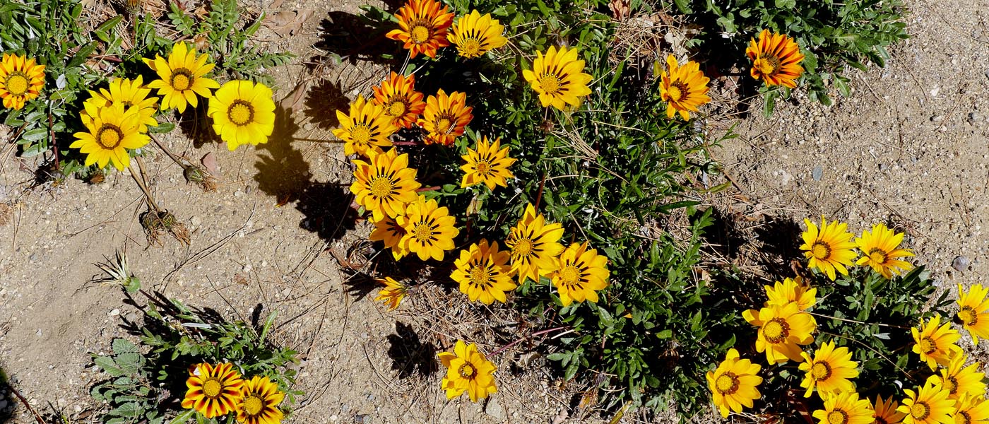
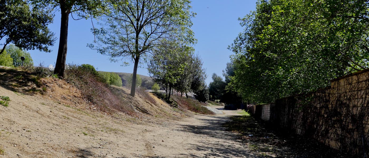
Image gallery of hiking trails in Banning Ca
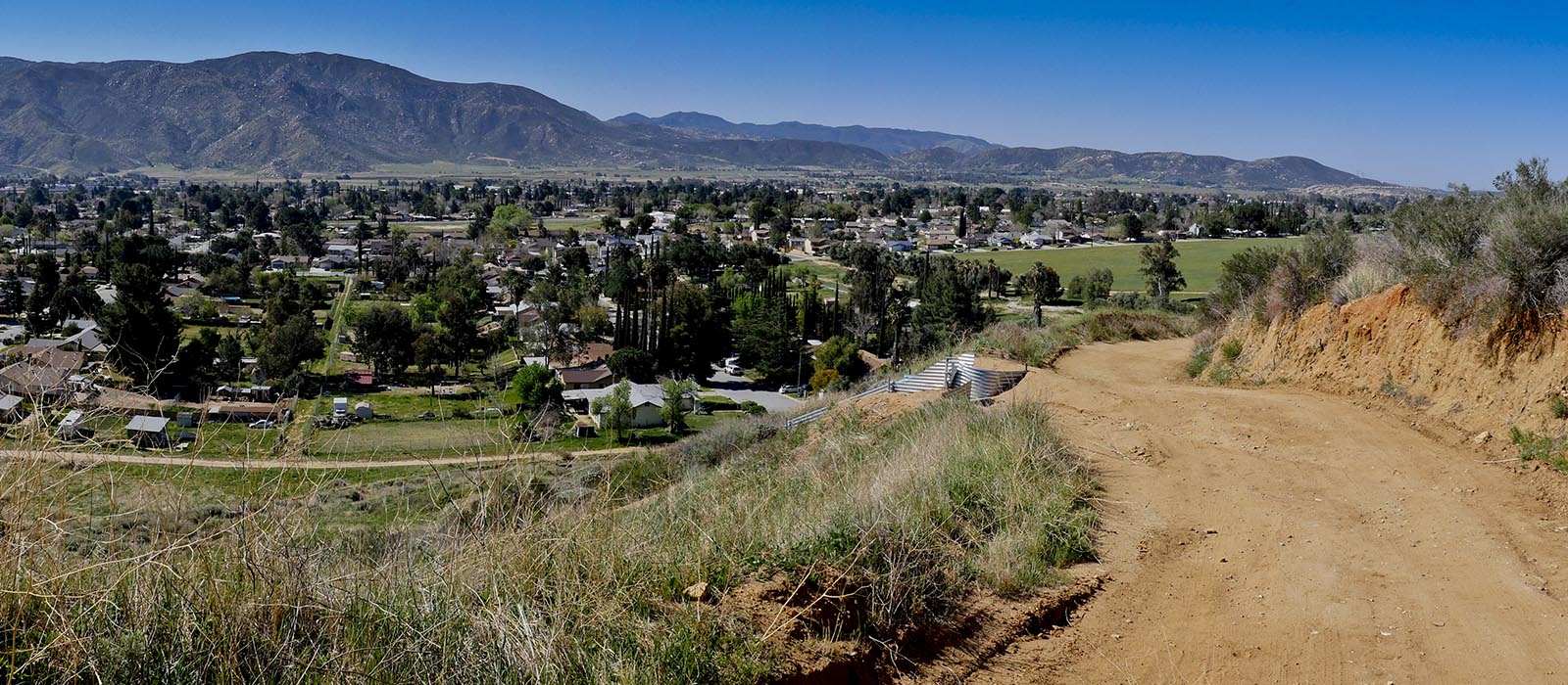
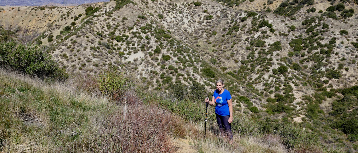
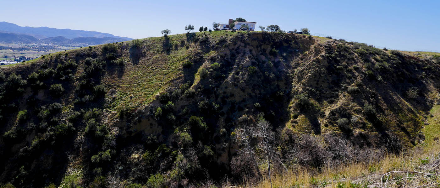
Air Tech Hike
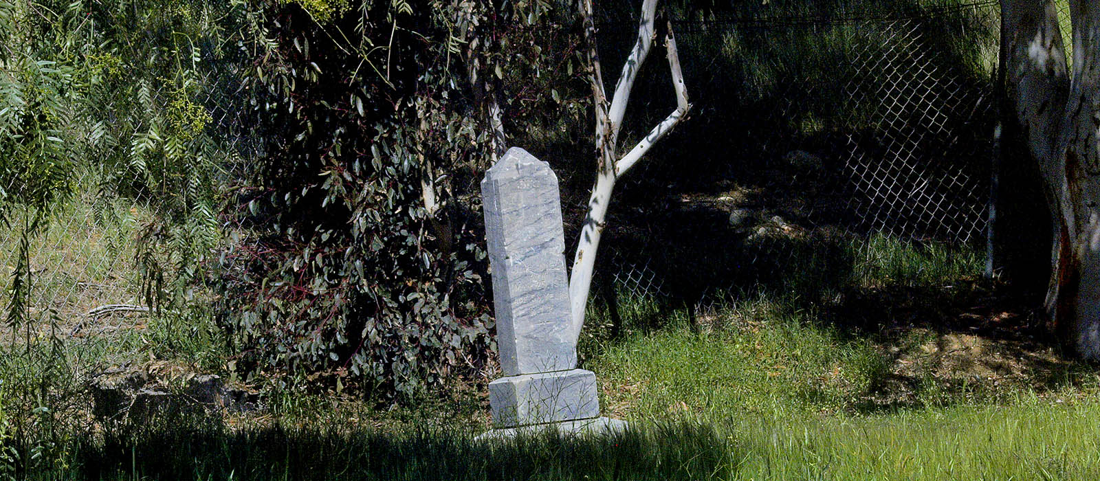
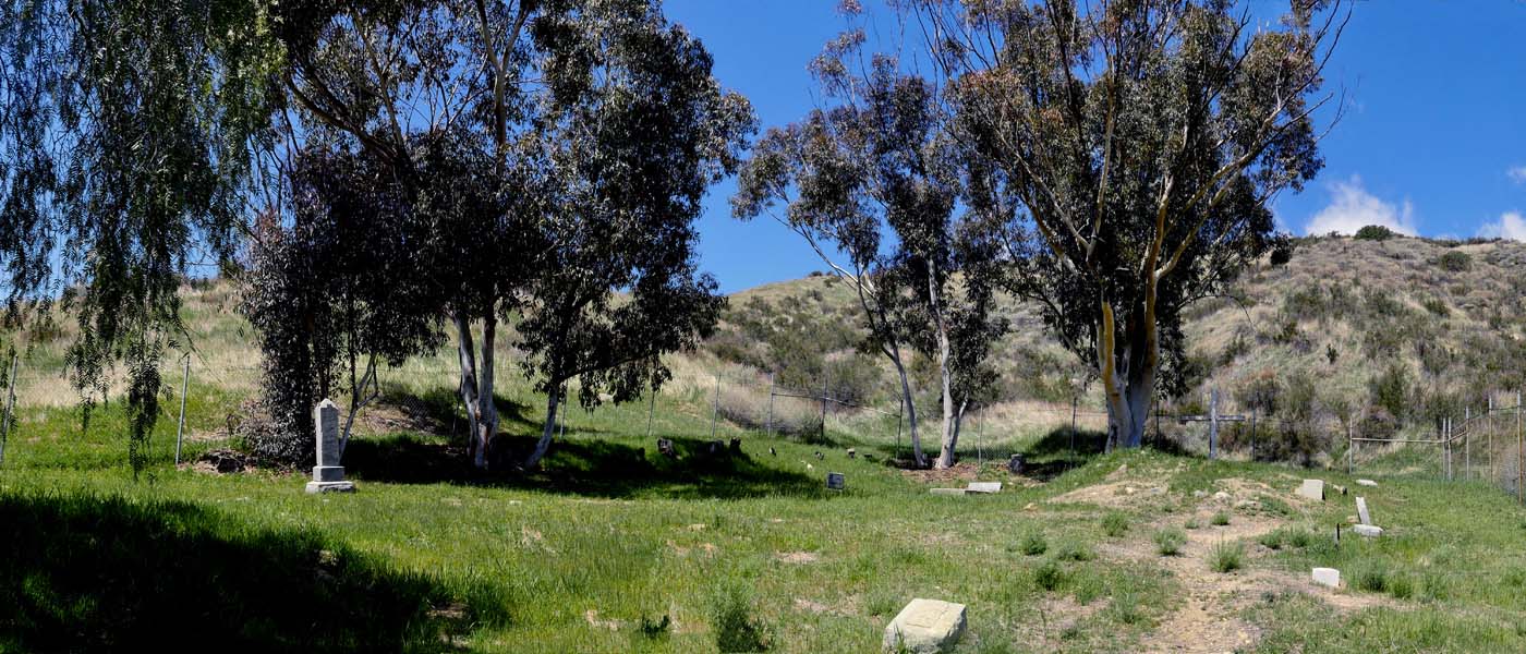
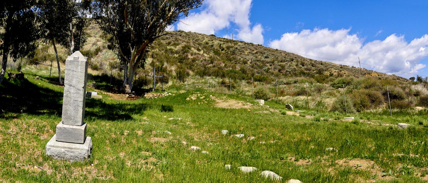
The hike is 1 mile up and 1 mile back climbing 480 feet. You can extend the hike by exploring the St Boniface School - Cemetary and by following trail along the hillside . Park on 8th street and go through the gate that is usually open (it is private property but I don't think they mind as I have waved to them as they drove by). If gate is closed you can back track to Gilman and park off the road next to field and hike up the dirt trail . Past the trees follow the trail to the right through the remains of the St Boniface School until you meet the access road. Follow it to the top.
Click HERE for more images
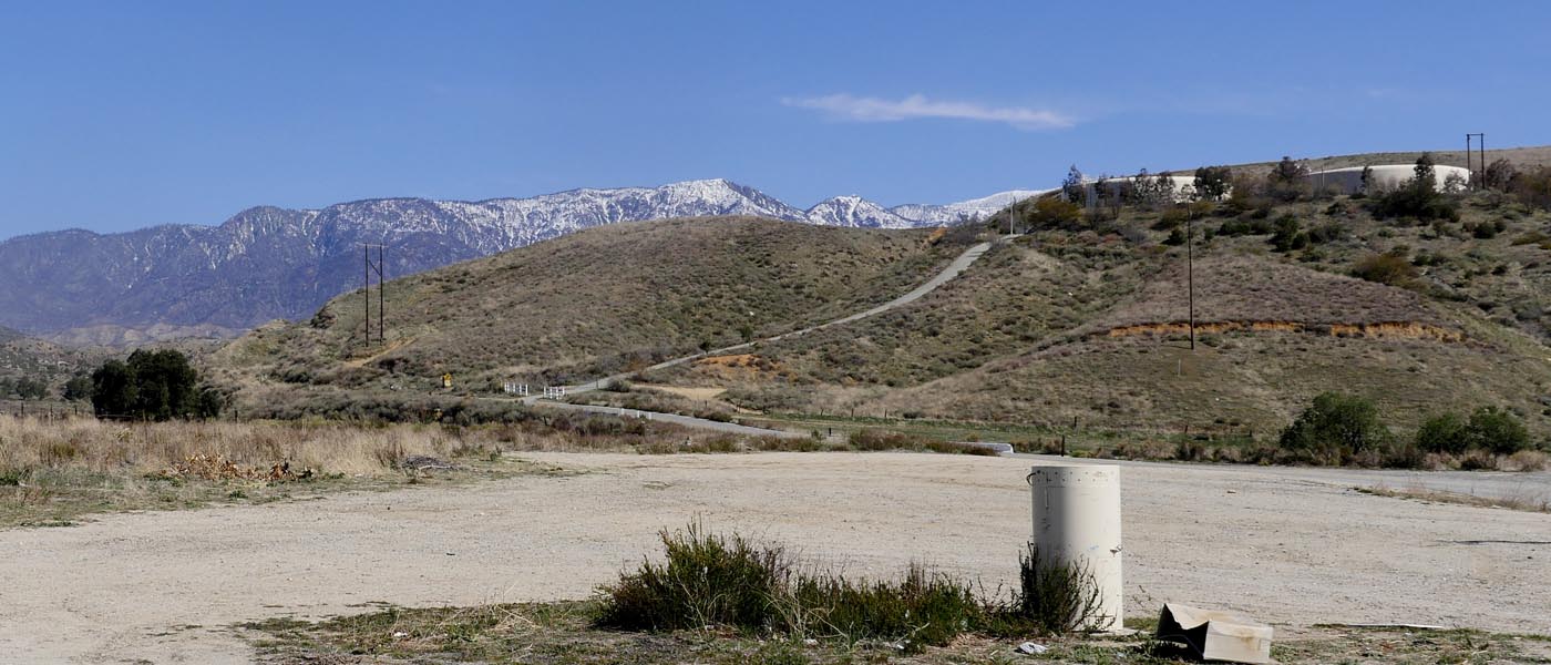
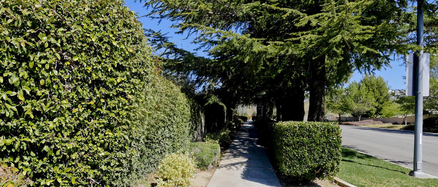
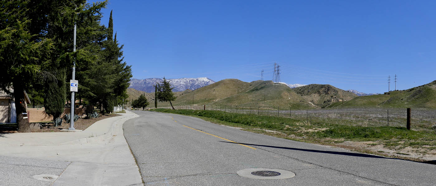
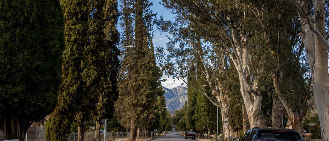
Banning Mountain Ave Hike
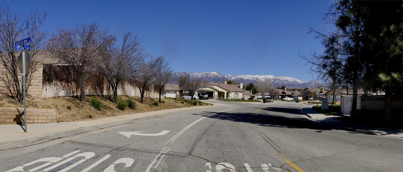
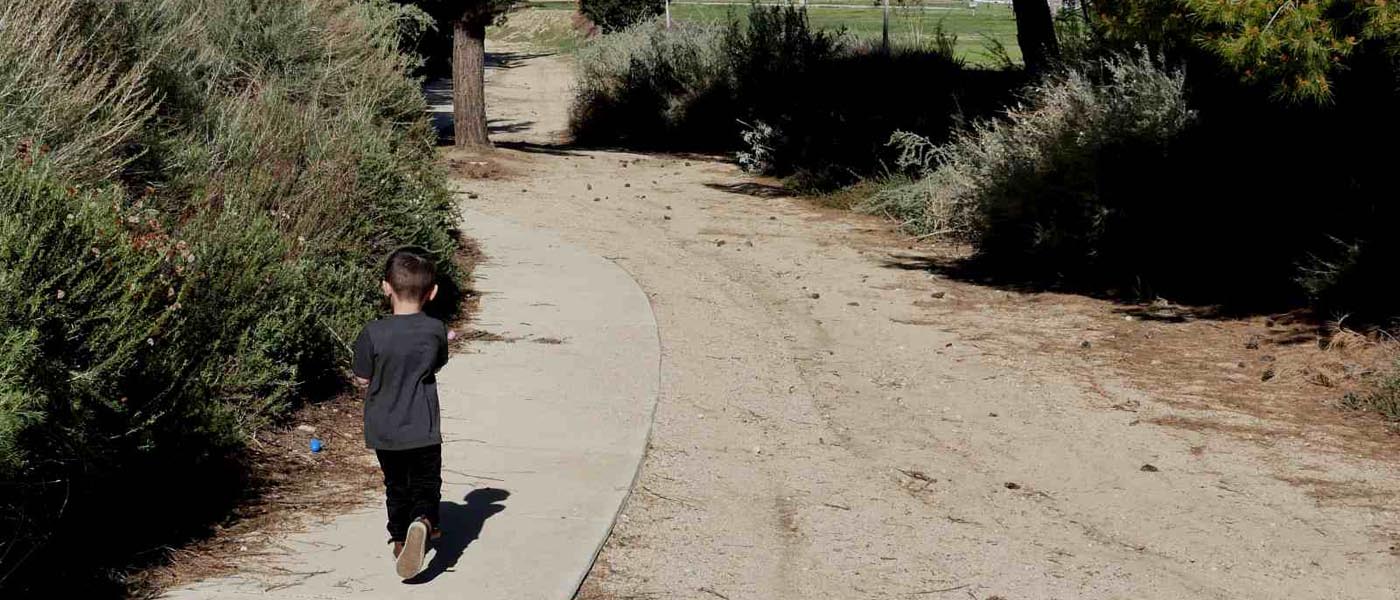
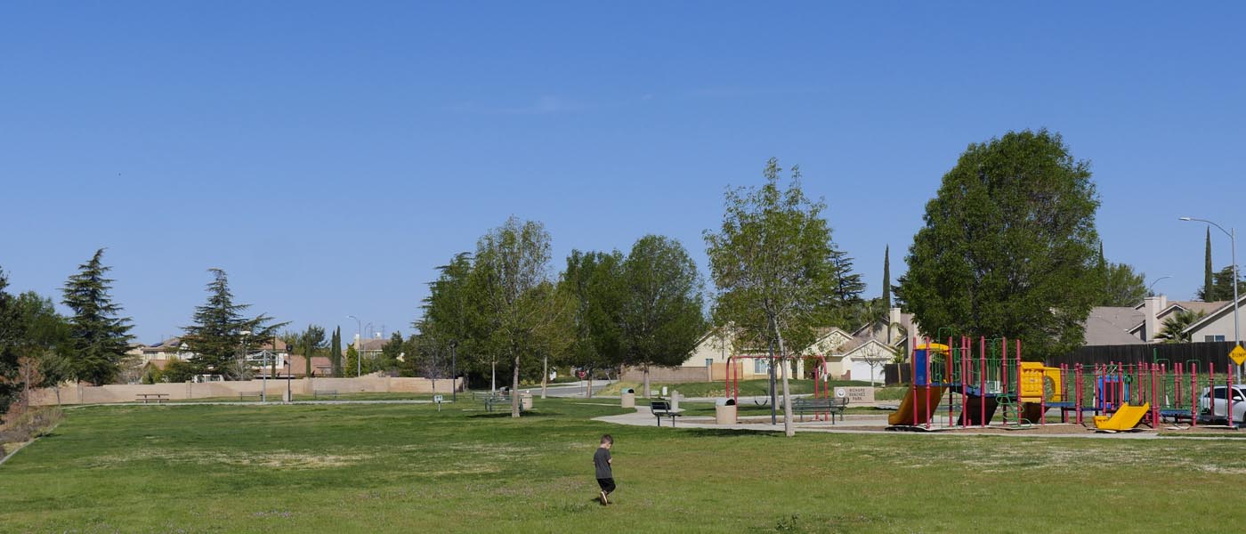
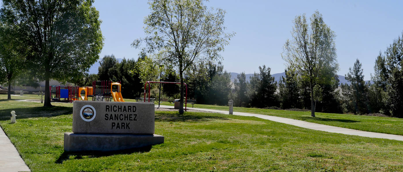
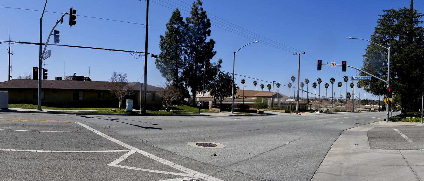
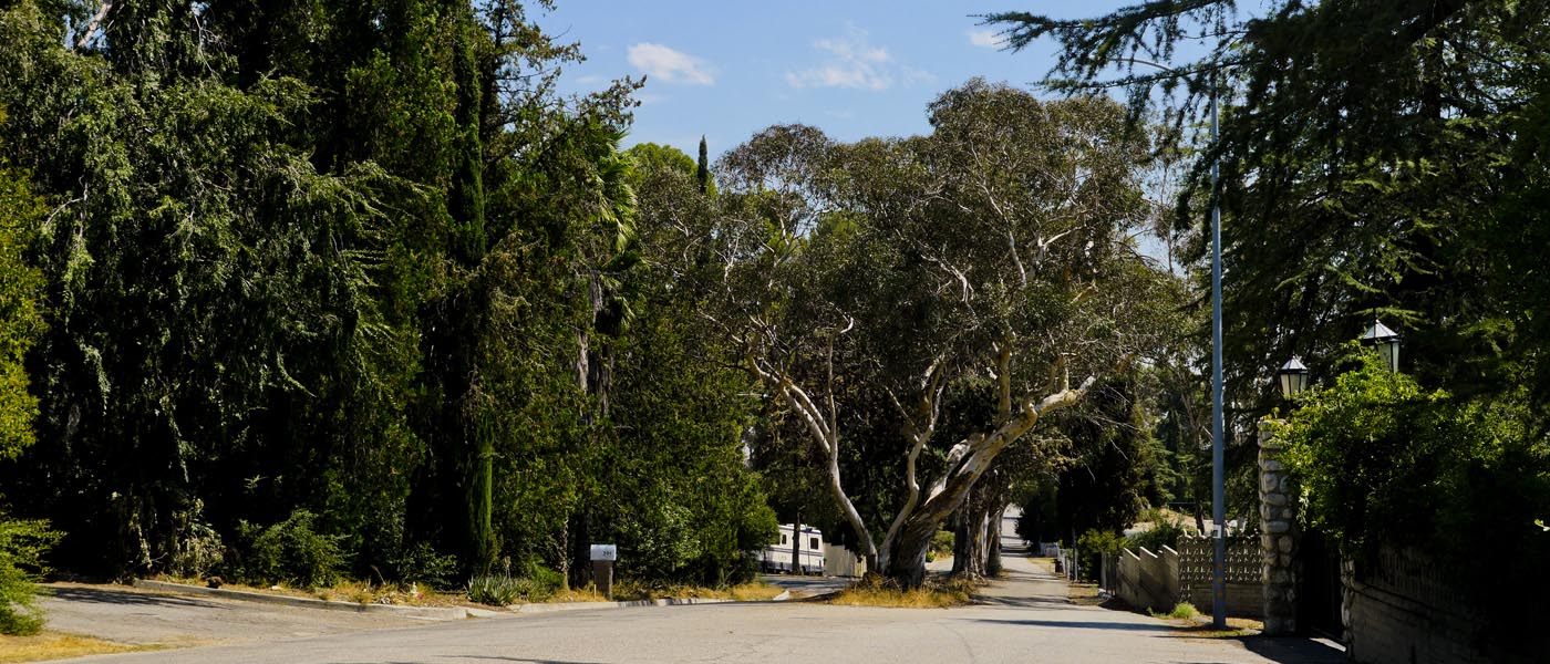
This 3 mile walk starts at Richard Sanchez Park Walk south across park to the bunny trail. Follow all the way down to Aspen Street. Turn right on and follow (keeping left until you can only turn right) down to White Oak Drive, then left on Oregon Trail to Wilson. Turn right on Wilson, then right on Mountain and follow all the way back up to the top.
On the way back I like to walk throught the side streets and look at all of the beautiful houses. Make a loop by turning right on Mocking Bird and left on Hillside to get back to Mountain. head back to the park
The park has restrooms, picnic tables, swings, slides and more. Keep an eye out for rattlesnakes in the northern area of Mountain Ave.
For Banning Info click here
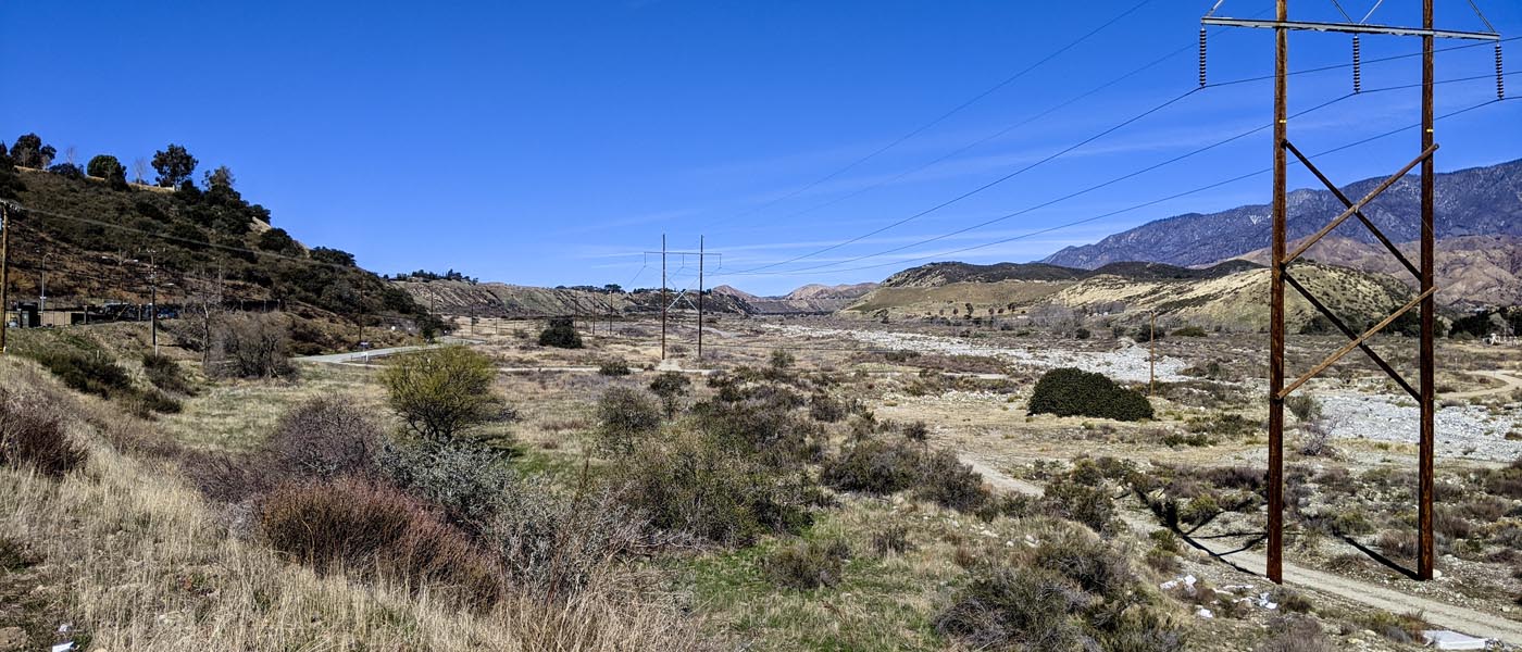
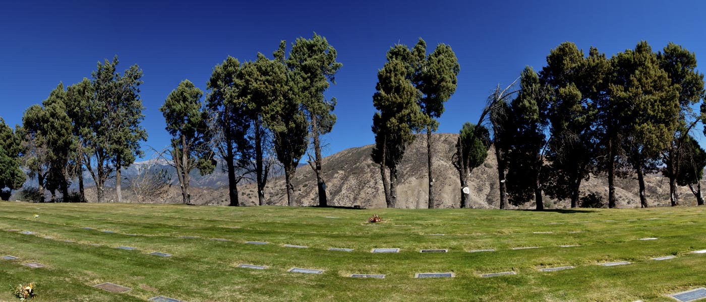
Banning Cemetery Hike
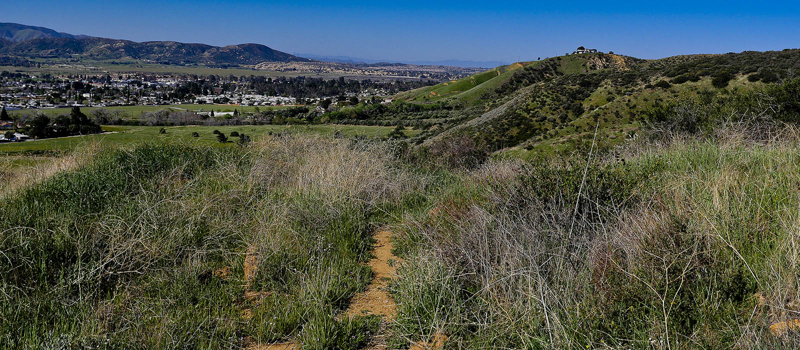
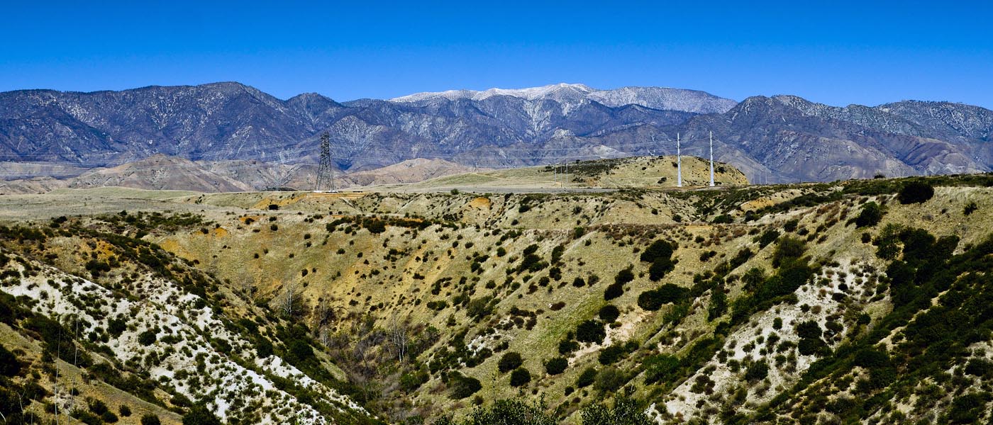
This 5.6 mile hike with 350 ft elevation starts at Lombardy & Murray (park along the road). Hike up San Gorgonio keeping to the right of the road around the s curve. Look for a small path on the left throught the fence to the cemetery rd. Follow the road all the way to the top and back down. On the way back follow the west side to see the old native cemetery. This time follow the main cemetery road to Bluff St. Turn left and hike Bluff Rd to the bottom of the Bench.
If you want to extend your trip you can hike up the Banning Wash Bluff street to the curve and back., if not turn right, left on Summit, right down th alley to Lombardy.
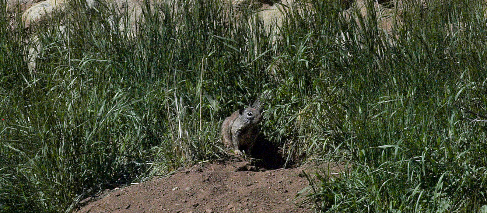
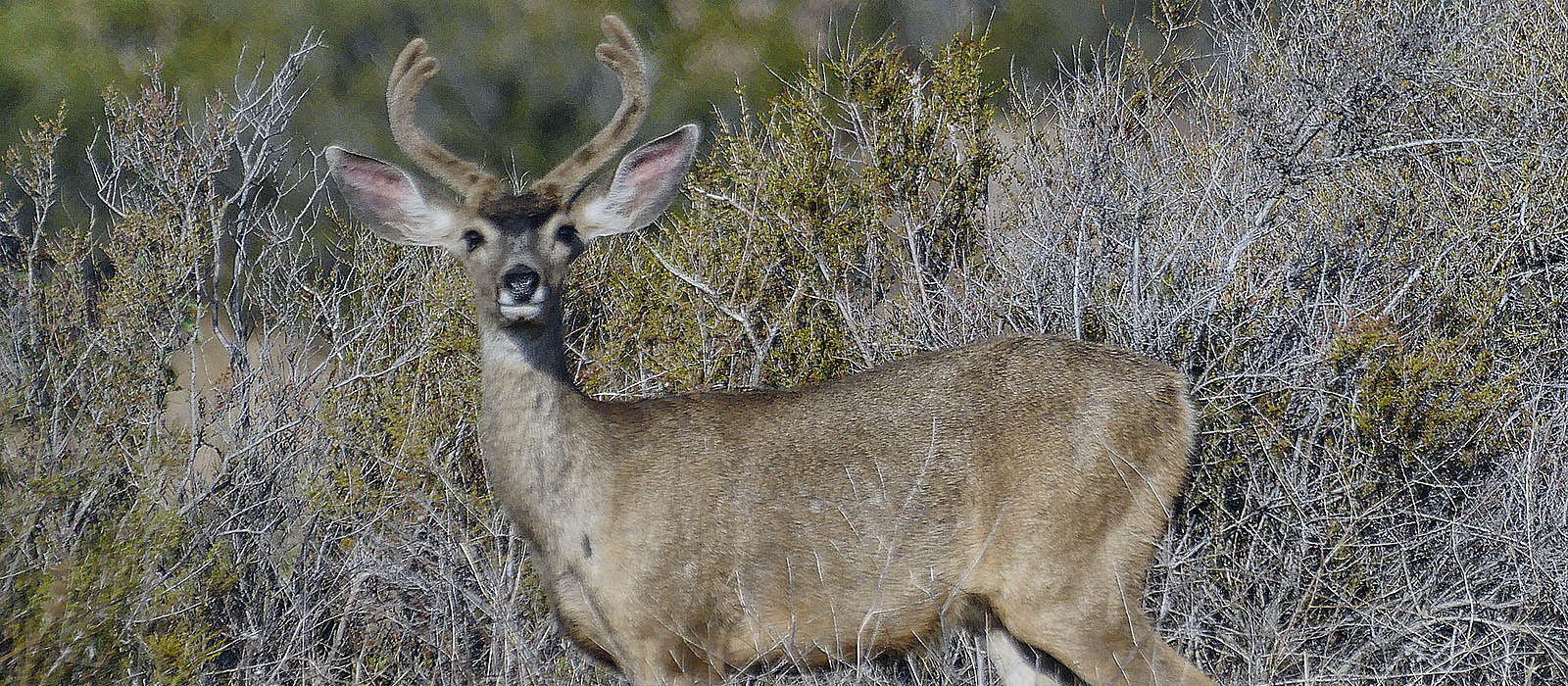
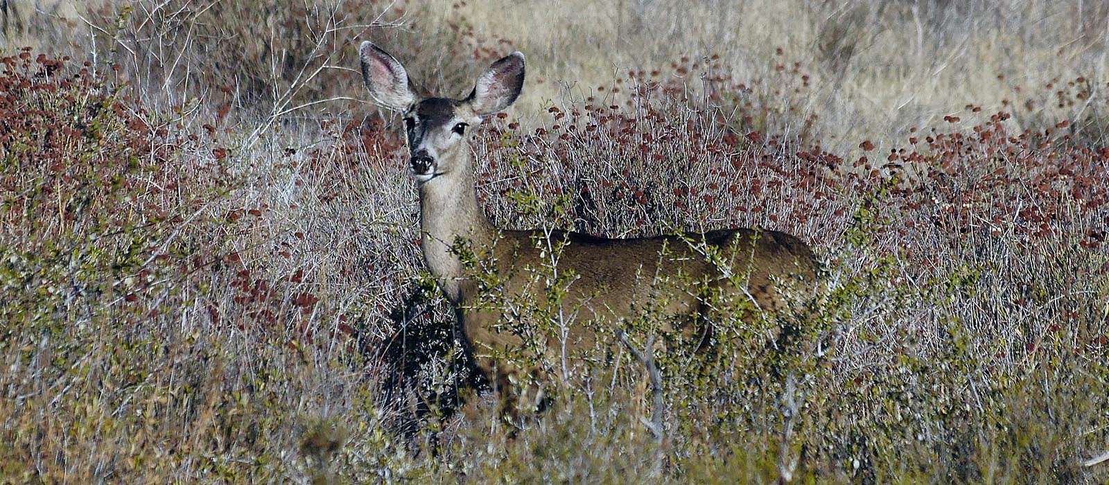
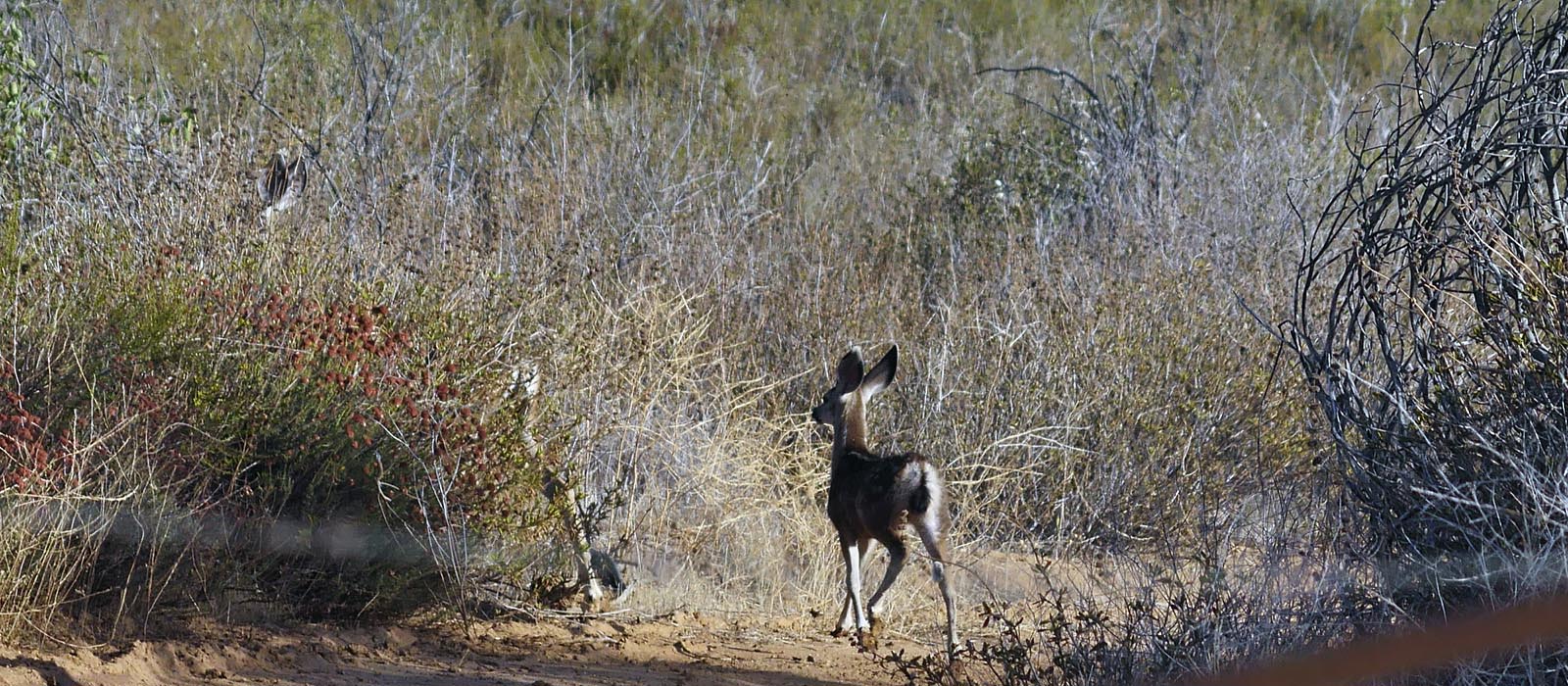
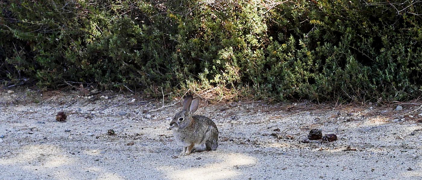
if you go early you may see deer, squirrels and rabbits. in the cemetery and the hills to the west.
For Banning Info click here
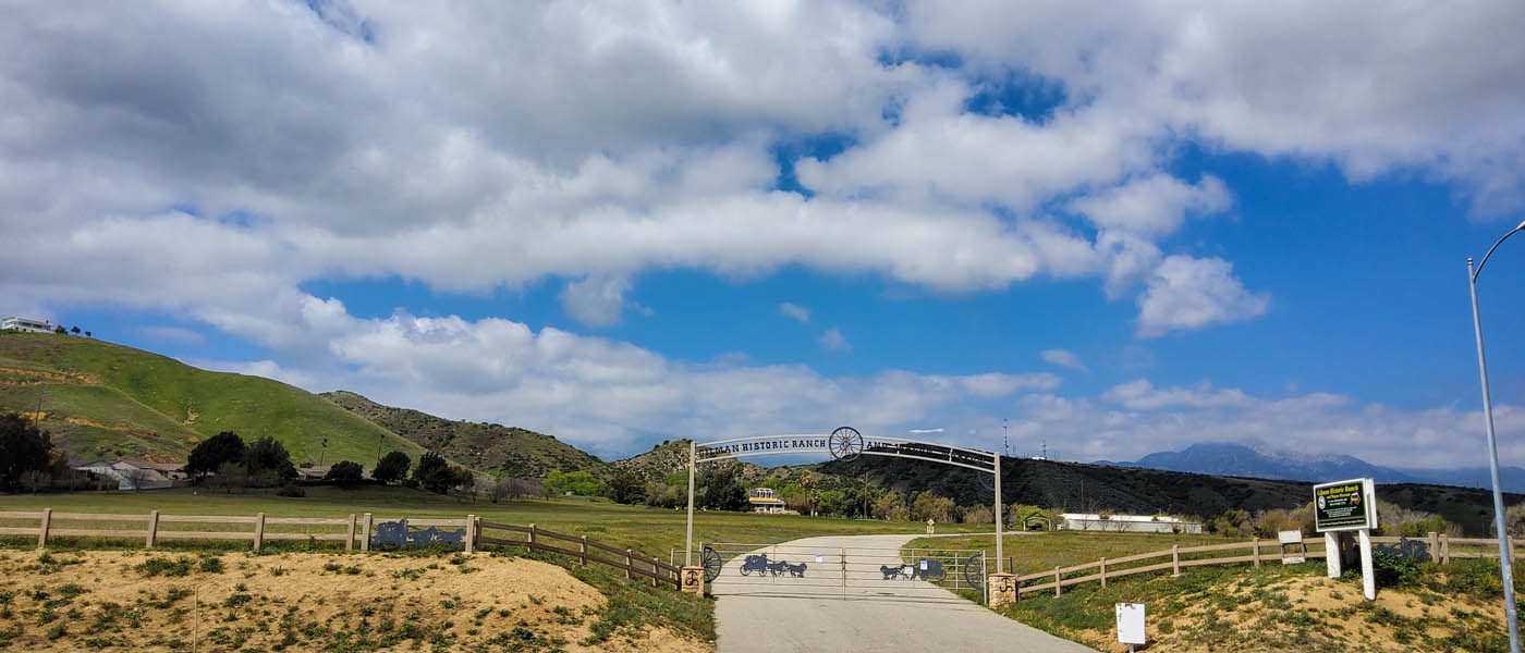
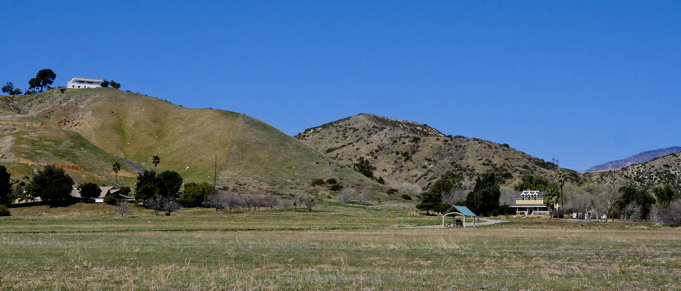
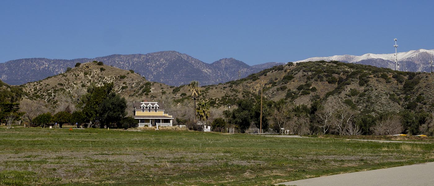
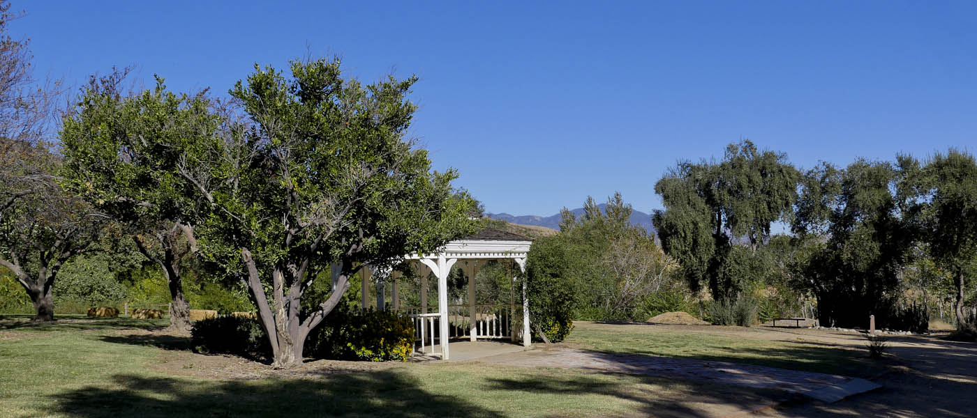
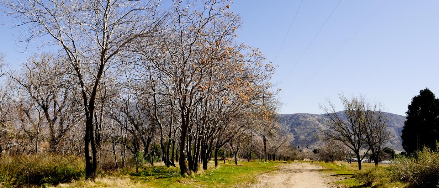
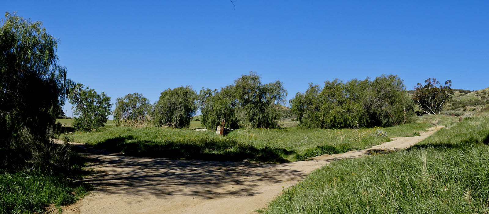
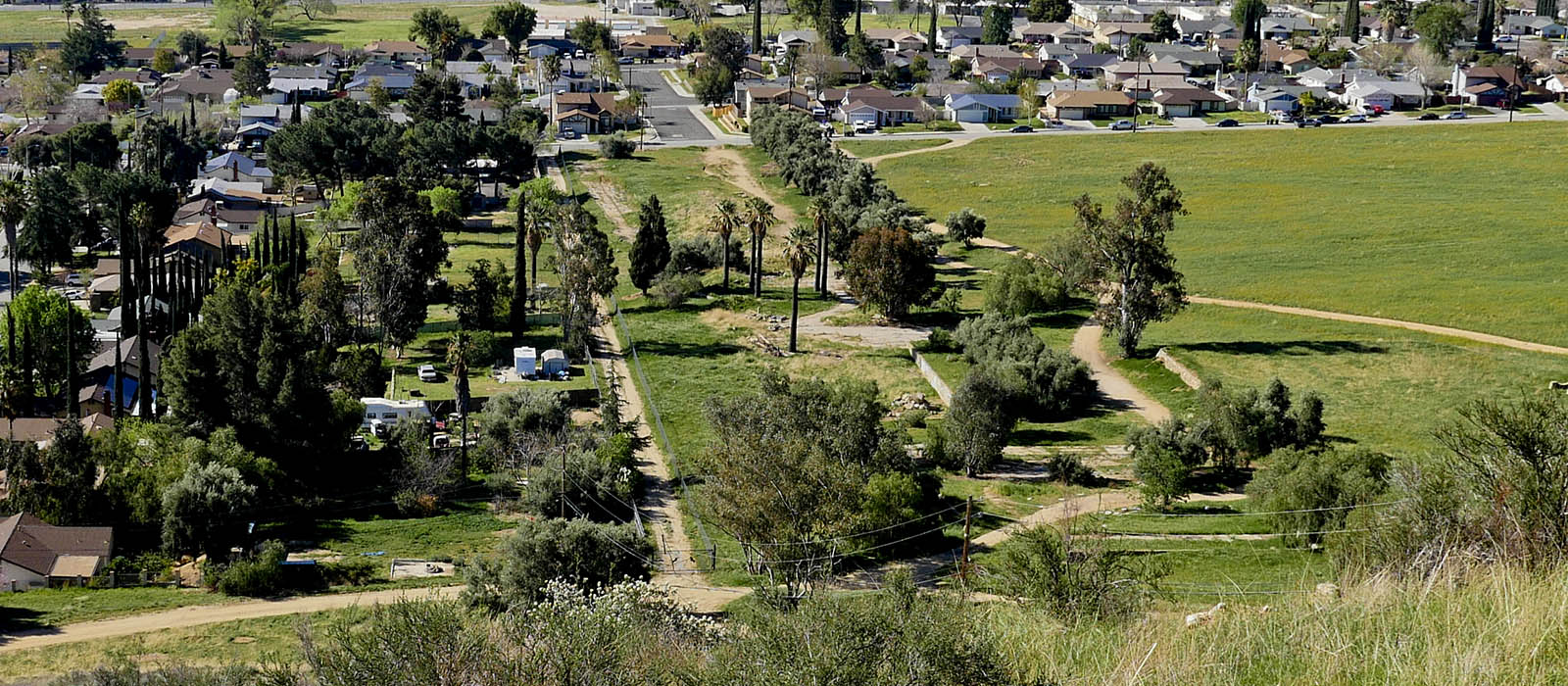
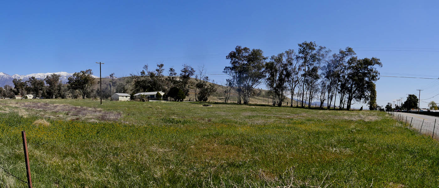
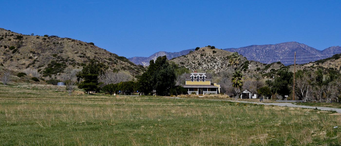
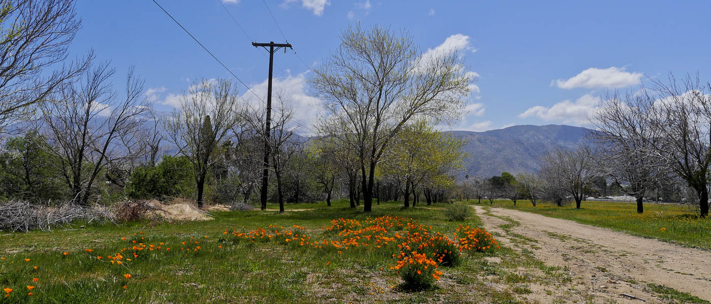
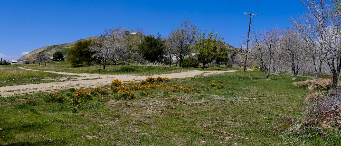
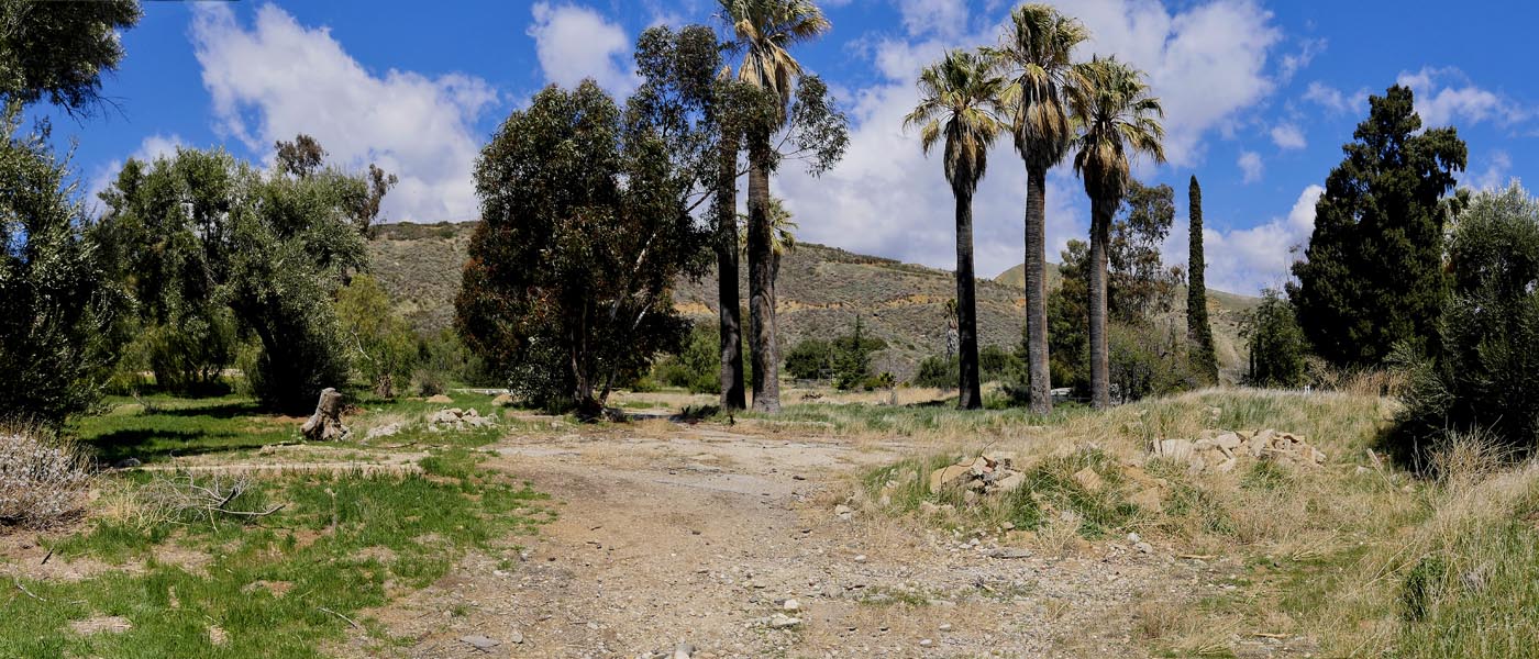
Gilman Ranch Trail
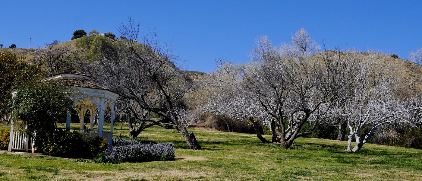
Gilman Ranch is a Historic Landmark with Activities & short hiking trail. You can tour the house, visit the wagon museum, have a picnic and take a short hike. Open Fridays and every 2nd Saturday. Check their website for more information
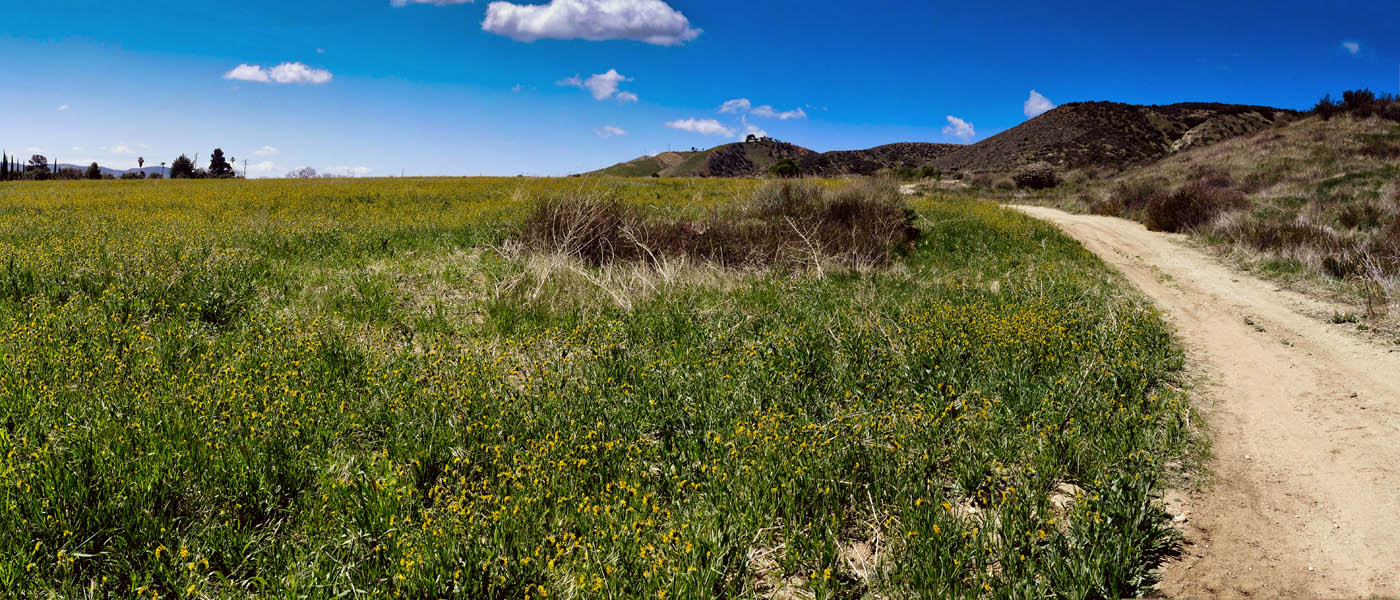
The ranch encourages locals to use the area and trails any time. You will need to park on a side road across from Wilson ( 16th - 19th street). If you walk north you will run into the main trail. Head left and follow till you see a table and small narrow trail heading to the right. Follow the trail to the top. This is a steep trail with lots of rest stops with a benches. On your return you can take a right back at the main trail and hike to the stream. Also don't forget to get some fruit on the way out ( it is ok to pick some fruit but don't get greedy) . It looks like the trail goes all the way to the Bench (.9 miles) .
For Museum and Ranch info click here

For more images click here
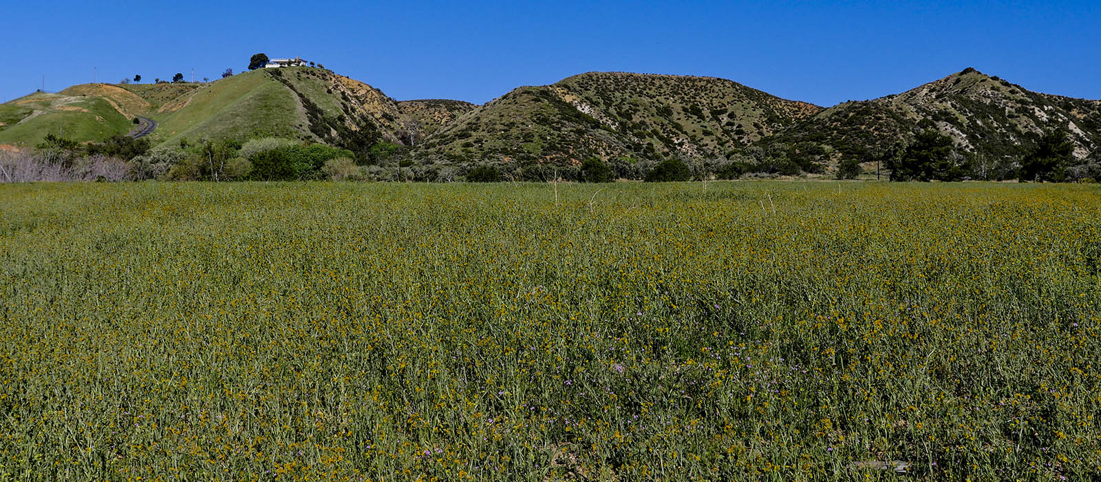
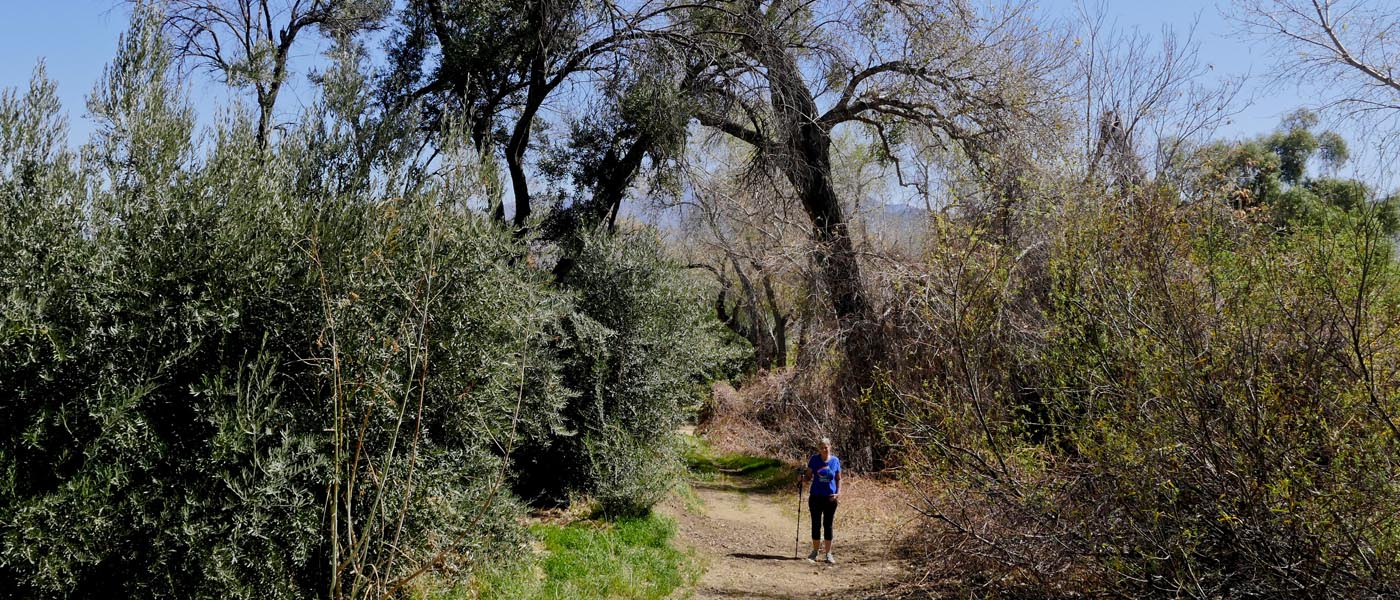
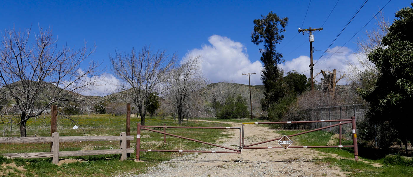
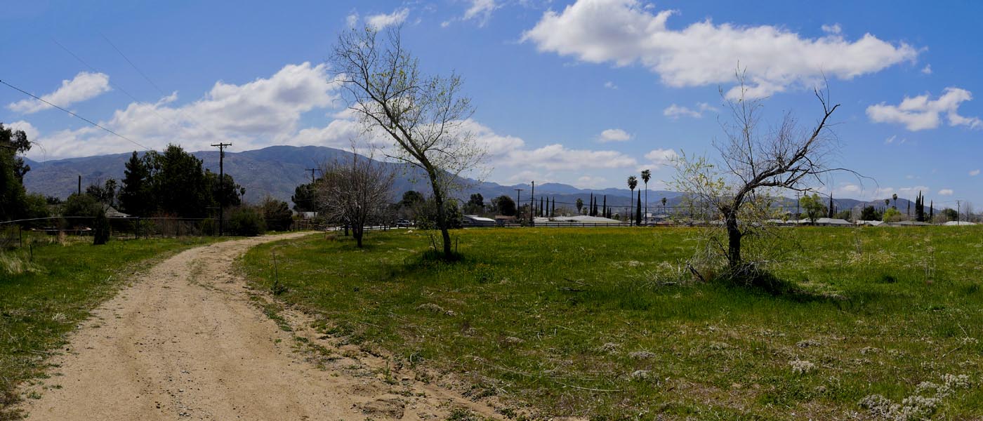
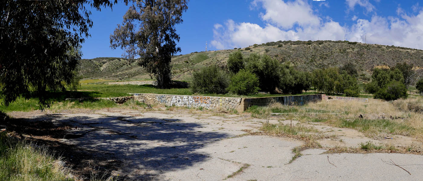
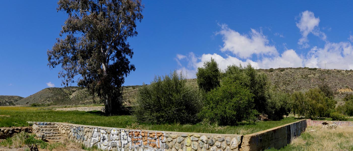
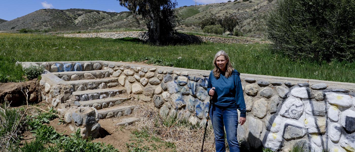
Gilman Ranch to St Boniface School Hike
This 2.8 mile hike will take you to 2 Banning Historical Landmarks, Gilman Ranch & St Boniface Indian School.
If ranch is closed park on 20th street and carefully cross Wilson st. You will see a gate and private drive to the left . Hike up private drive to dirt road heading right. Explore the ranch and pick some fruit if you like. The ranch encourages local to use the area even if closed ( if it is open don't forget to pay the small fee at wagon museum). Exit the ranch by walking down dirt road all the way to the left. Take residental streets ( L Paso Del Sol, R hoffer, L 11th St.)to reach Gilman. You can follow the dirt road left of the trees. Hike all the way up to dirt road and turn left. Follow trail along foothills until it ends. Go back the way you came but this time stop at the cemetery, follow trails on the left side of the trees back to Gilman St. You will be walking through the school ruins. Here you will see lots of rabbits and squirrels but also keep an eye out for rattlesnakes. Make your way back to Wilson Street and 20th.
For Banning History info click here

For more images click here