Ron & Jan's Wildwood Canyon Hikes

  • Joshua Tree Panoramia

    Central Ridge Trail

  • Joshua Tree Panoramia

    Barn Hunts Ranch

  • Joshua Tree Panoramia

    Wildwood Canyon Meadow

  • Joshua Tree Panoramia

    Parking Lot

  • Joshua Tree Panoramia

    Hunt's Ranch trail

  • Joshua Tree Panoramia

    Wildwood Canyon Trail

  • Joshua Tree Panoramia

    Wildwood Canyon

  • Joshua Tree Panoramia

    Hunt's Ranch

  • Joshua Tree Panoramia

    Wildwood Canyon

  • Joshua Tree Panoramia

    Hi-Up Trail

  • Joshua Tree Panoramia

    Wildwood Canyon

  • Joshua Tree Panoramia

    Stable Ridge Trail

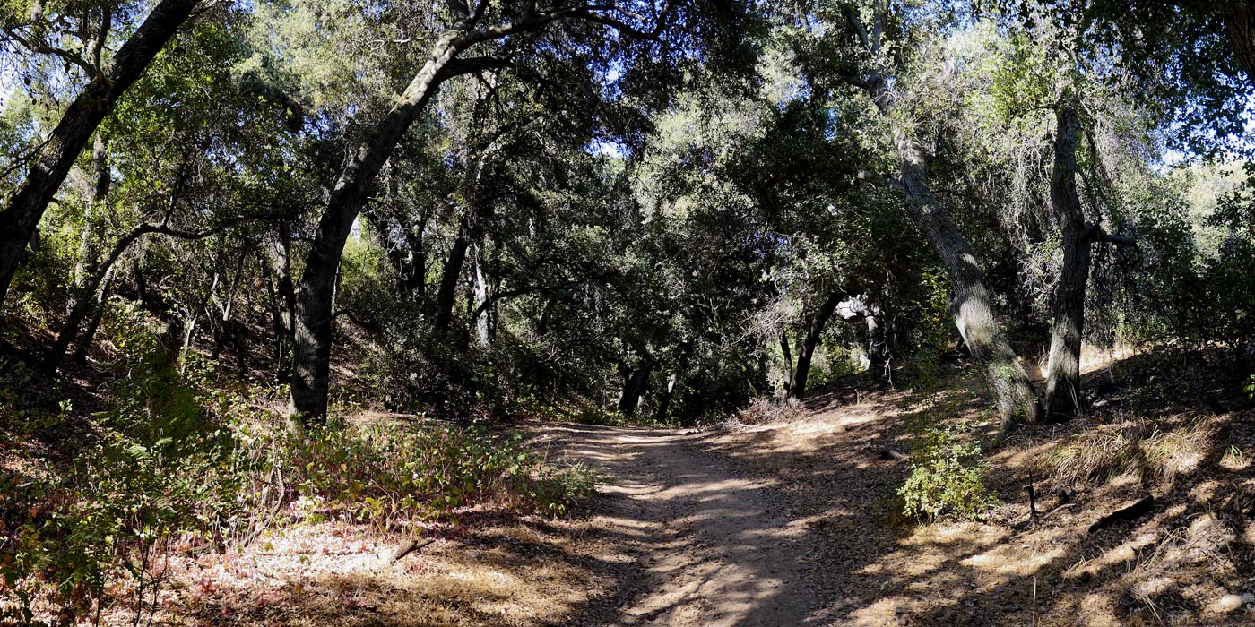
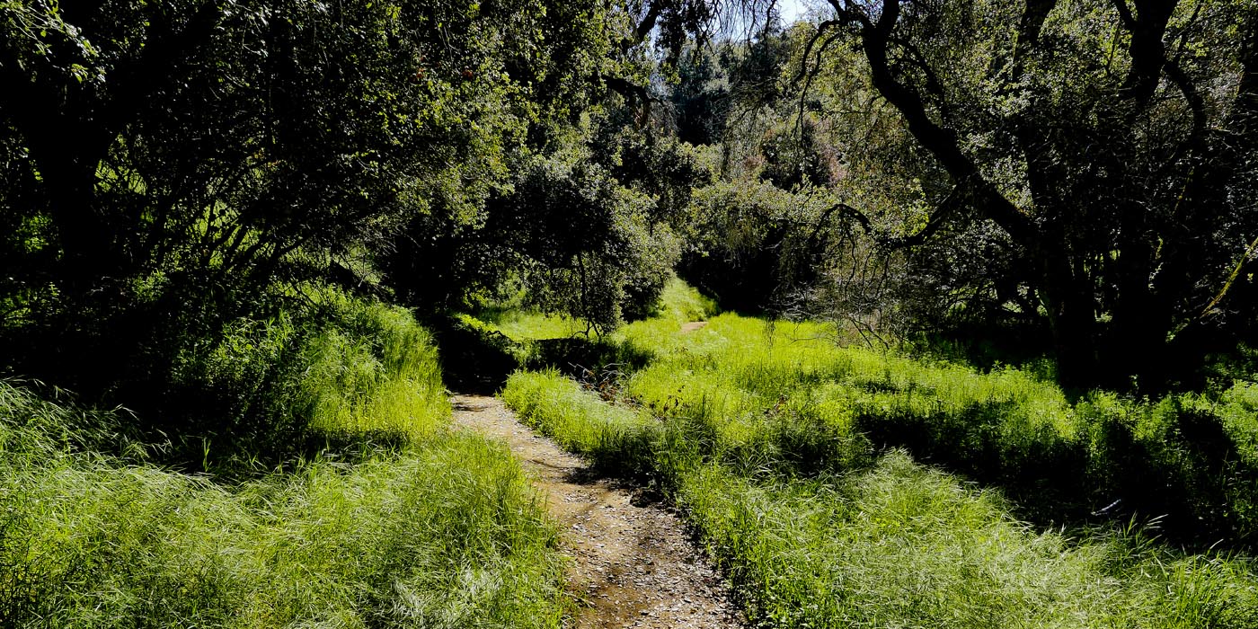
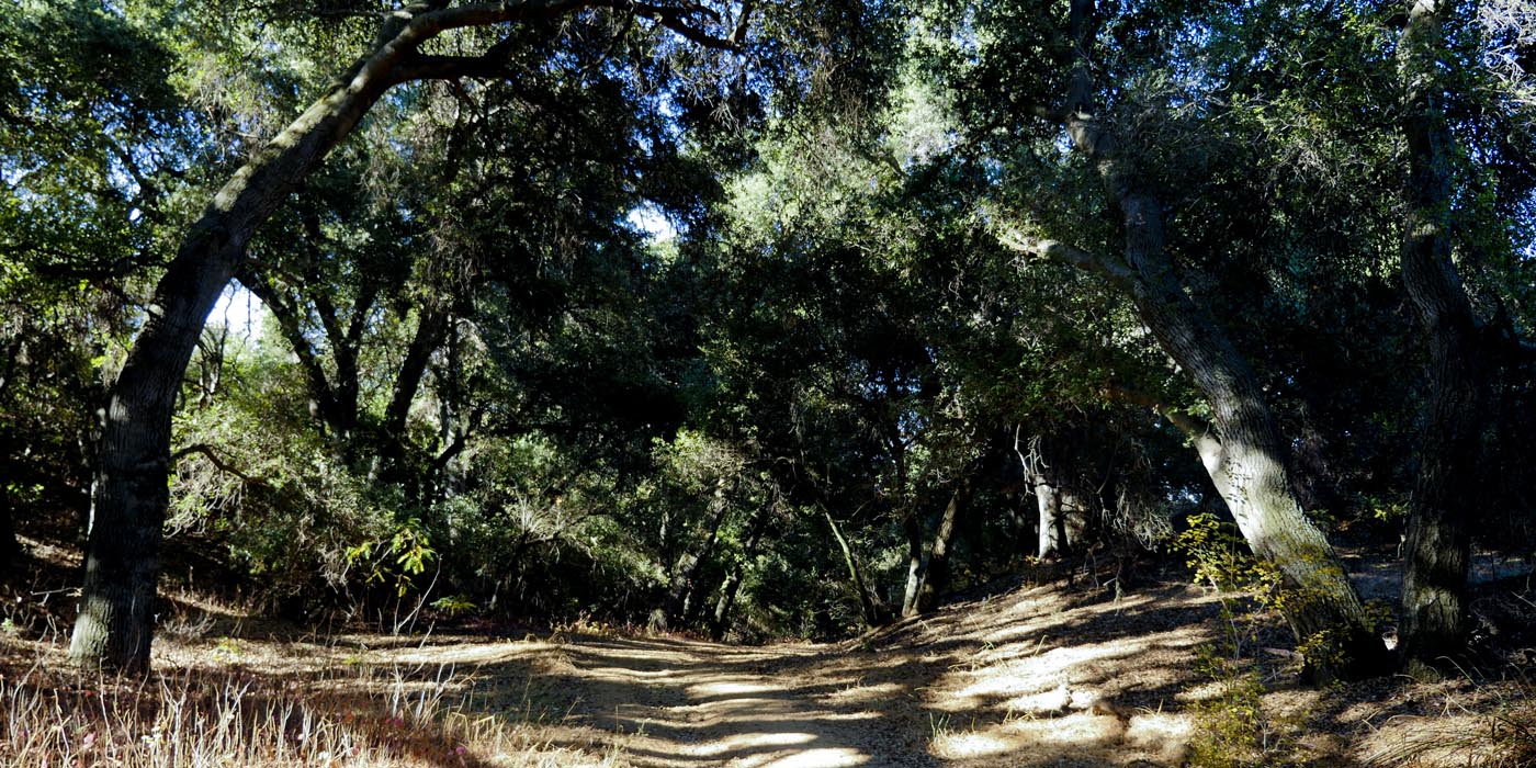
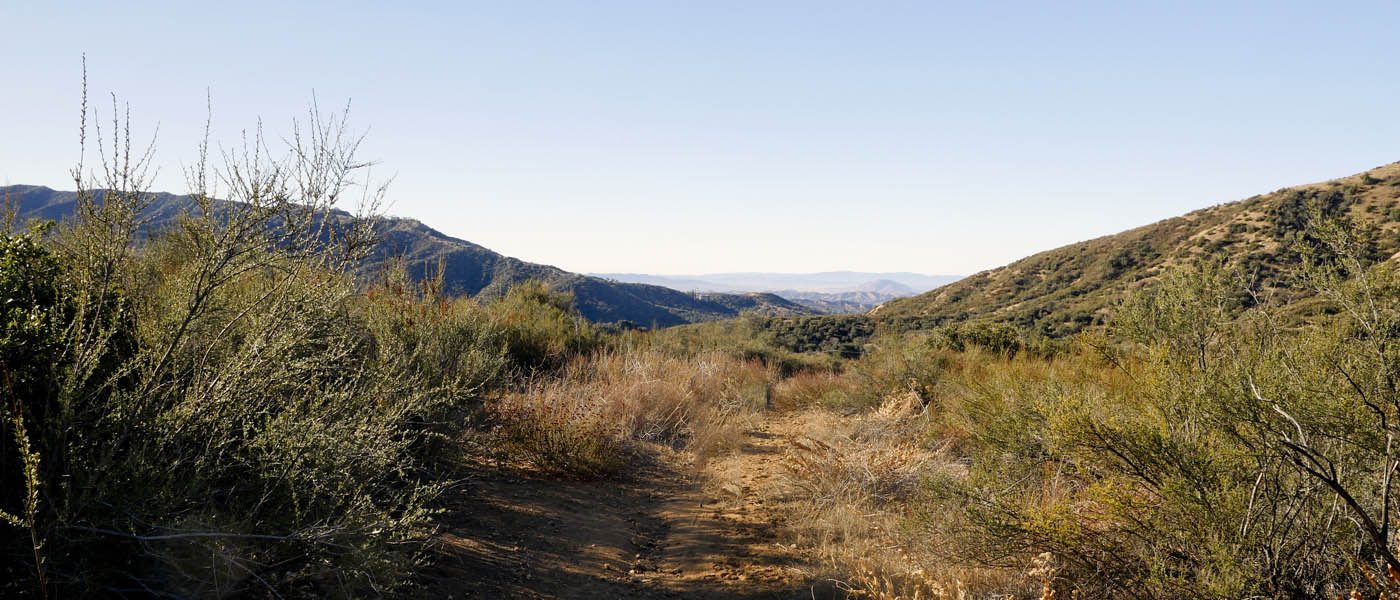
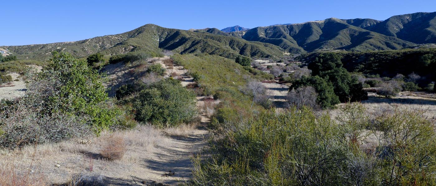
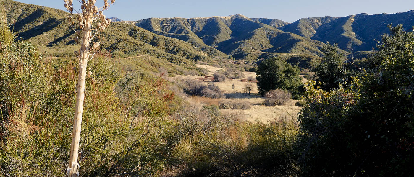
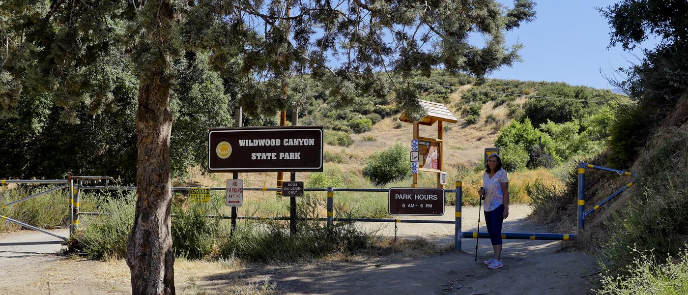
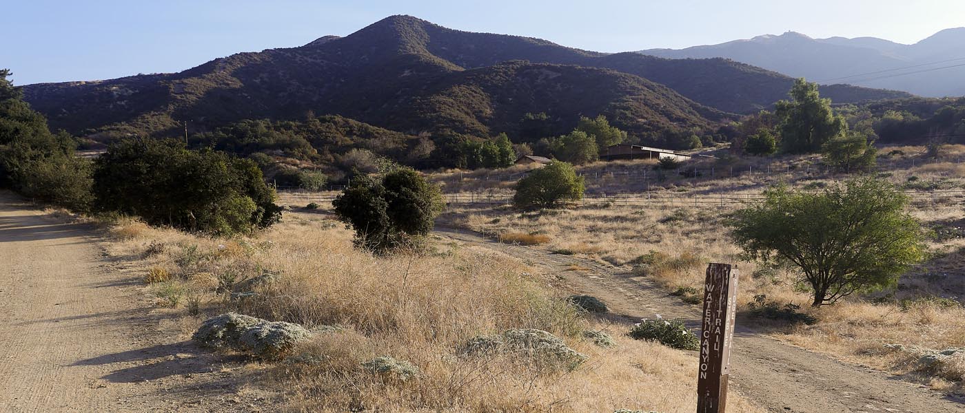
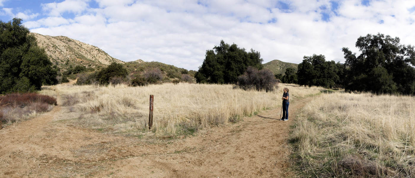
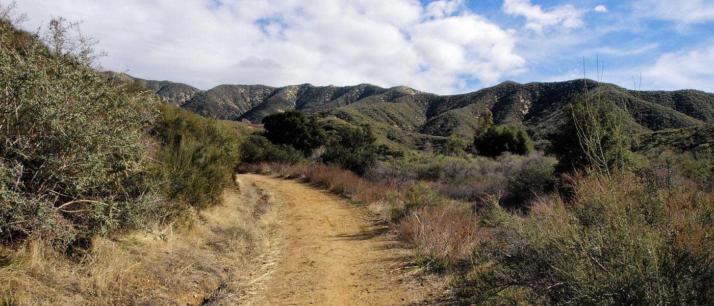
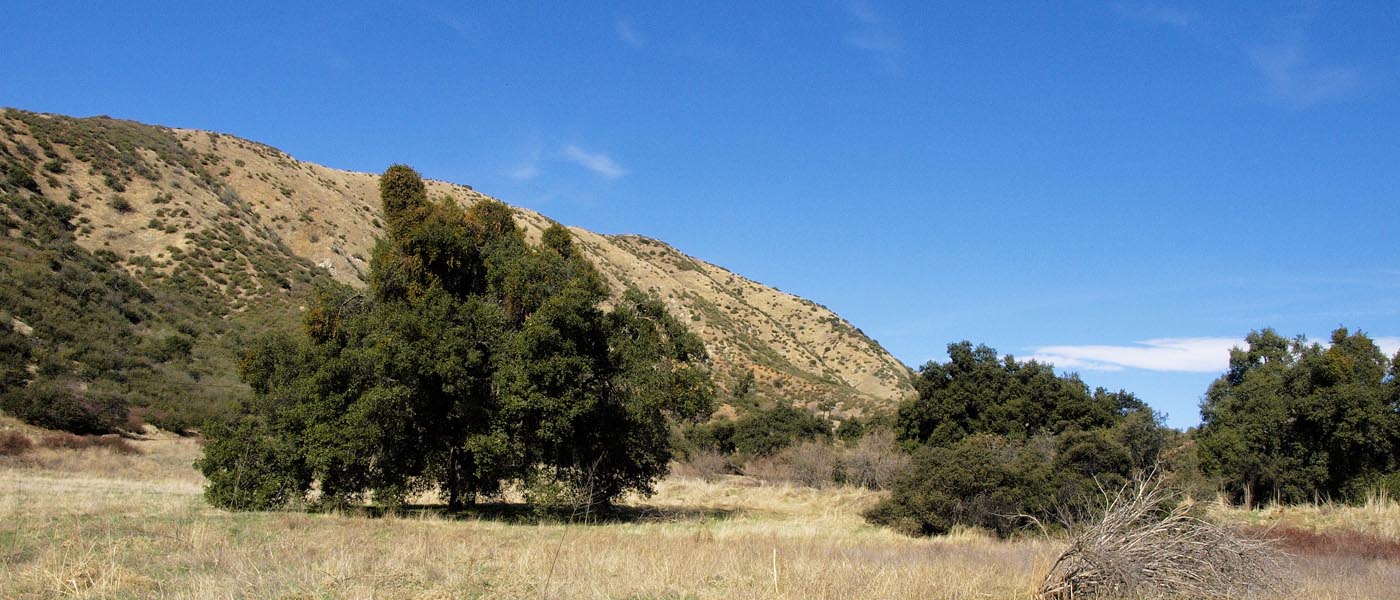
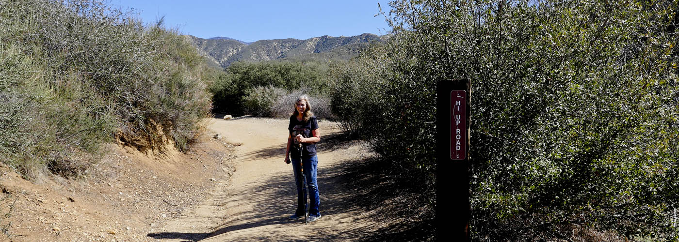
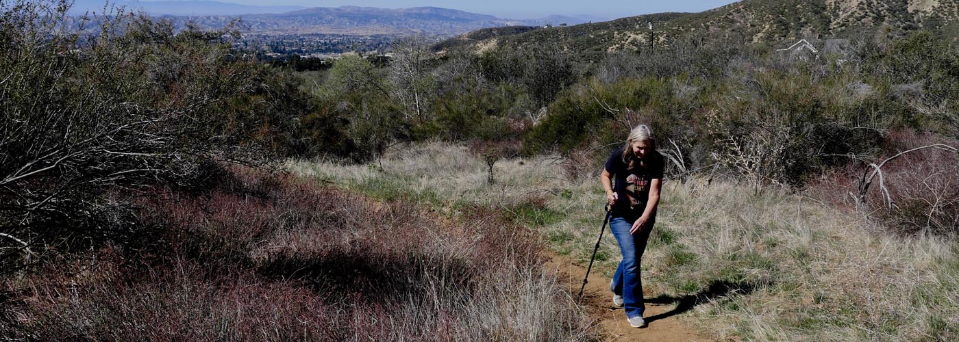
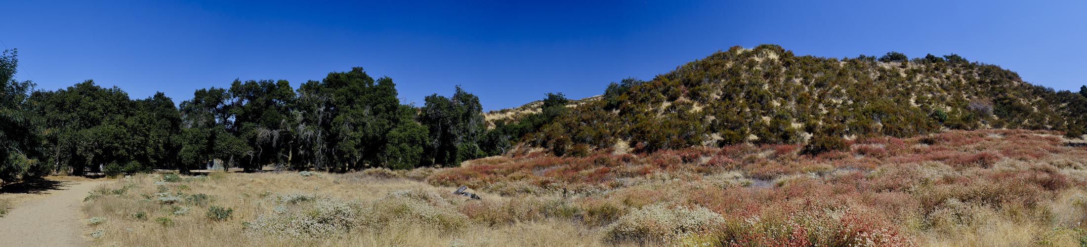
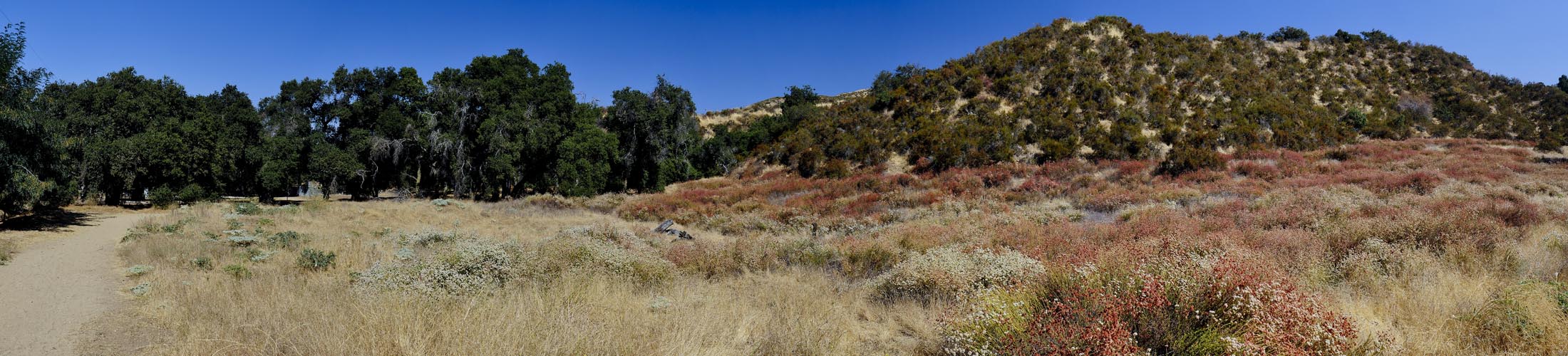
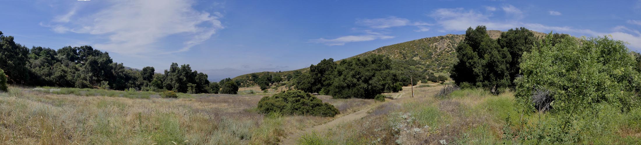
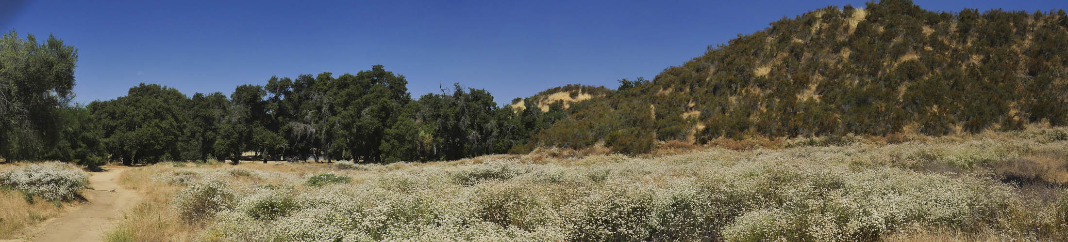
Hiking in Wildwood Canyon State Park

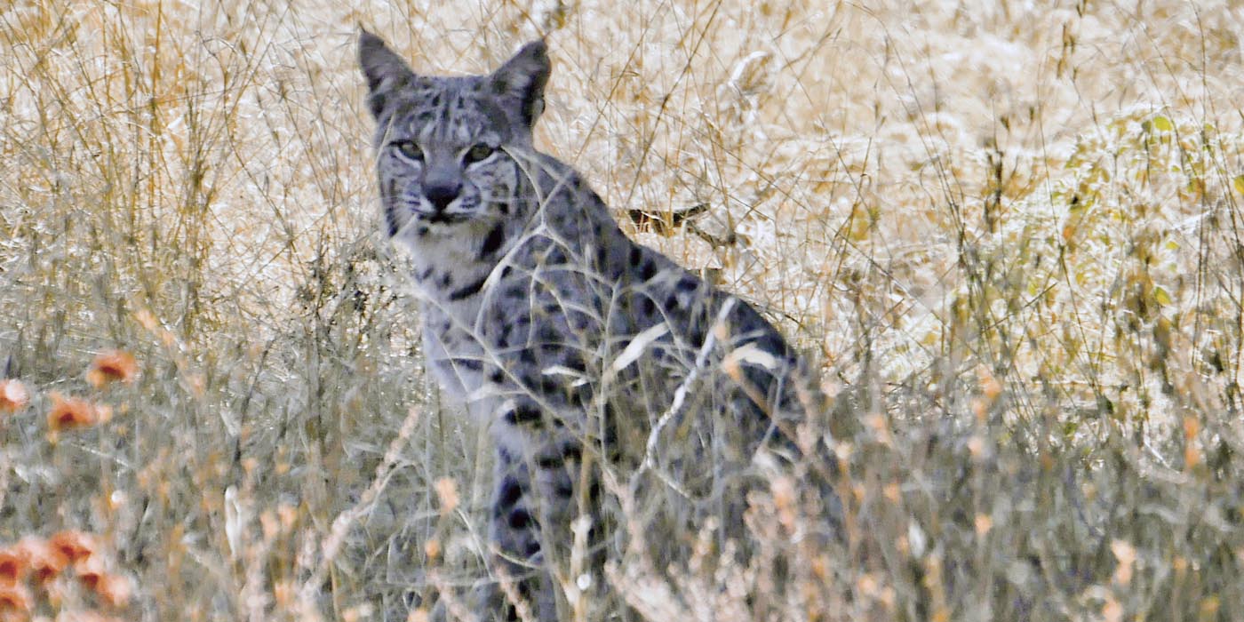
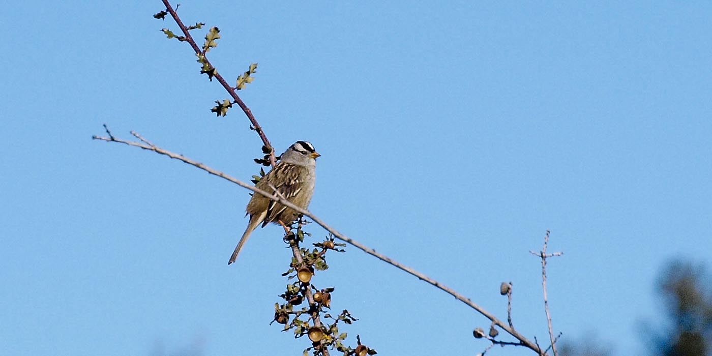
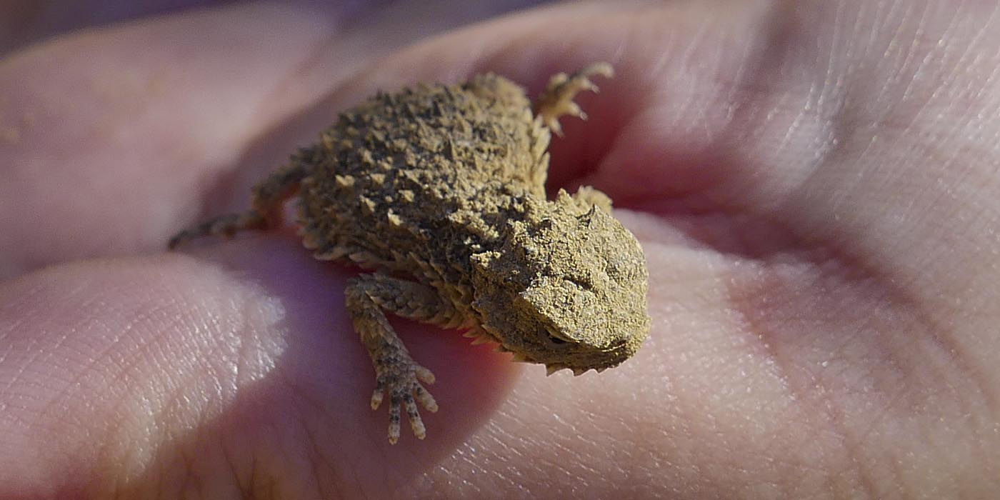
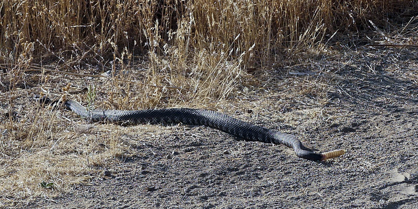
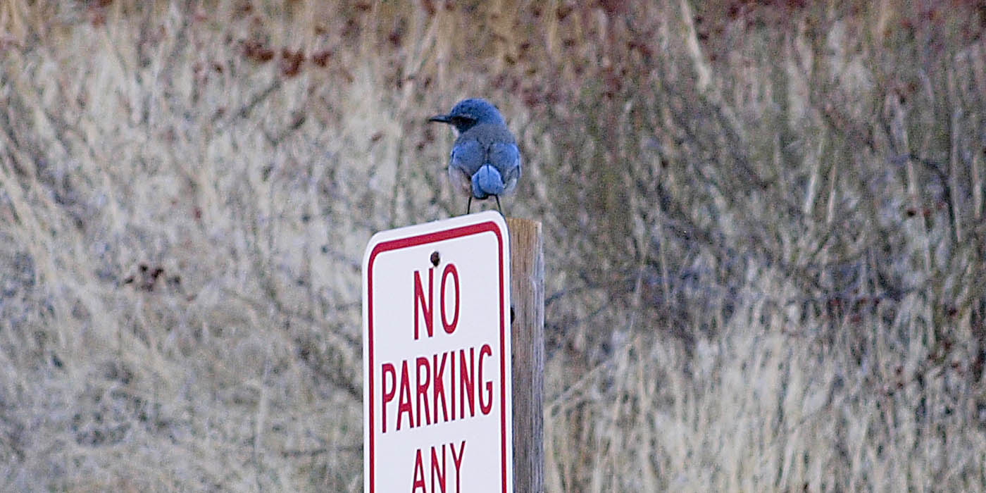
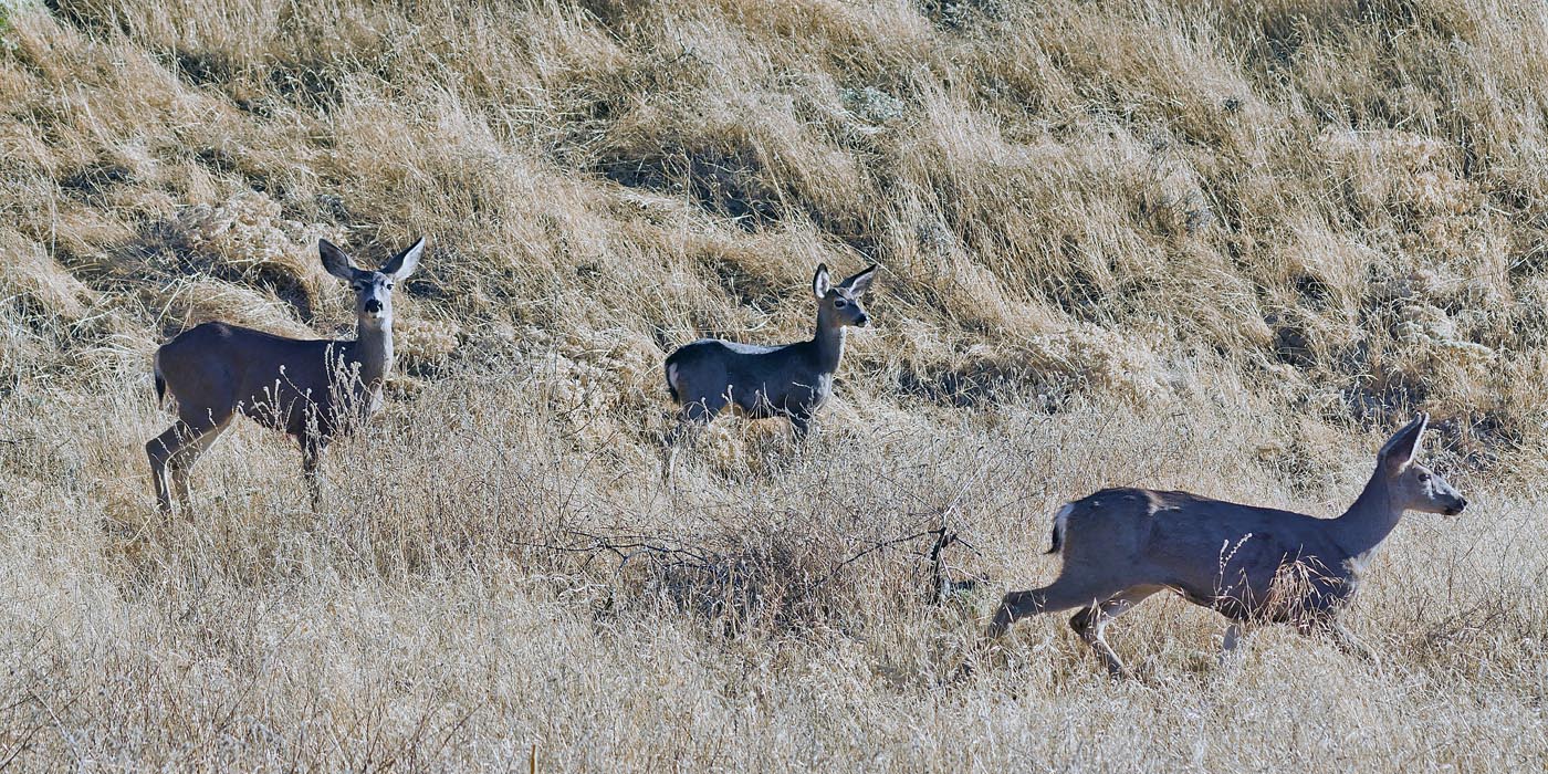
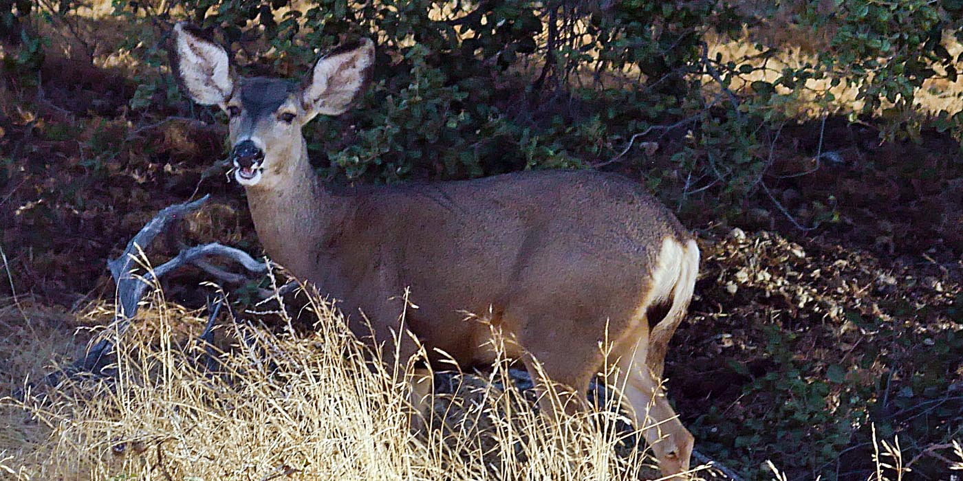
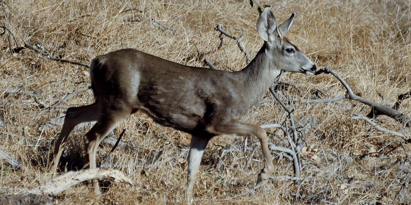
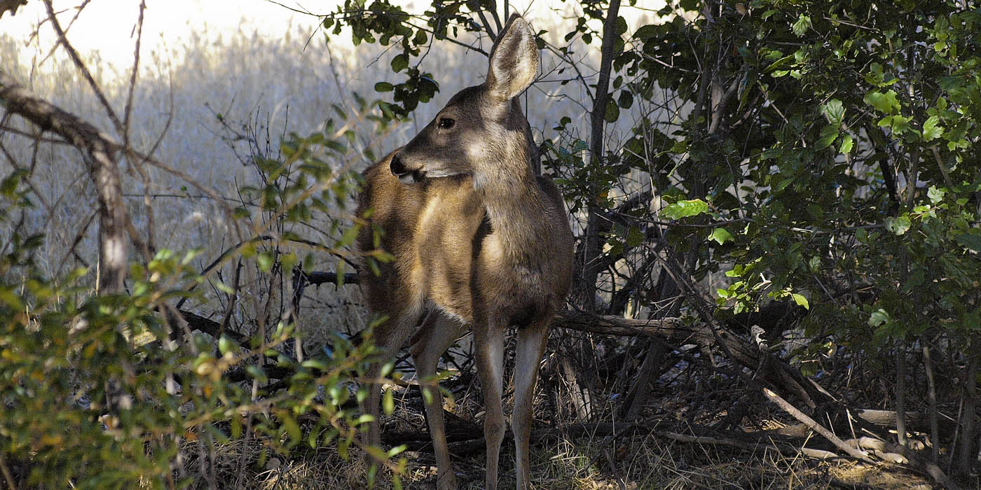
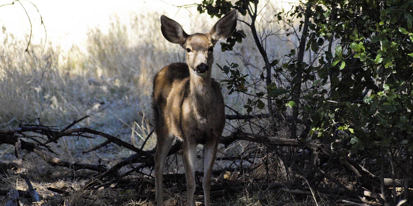
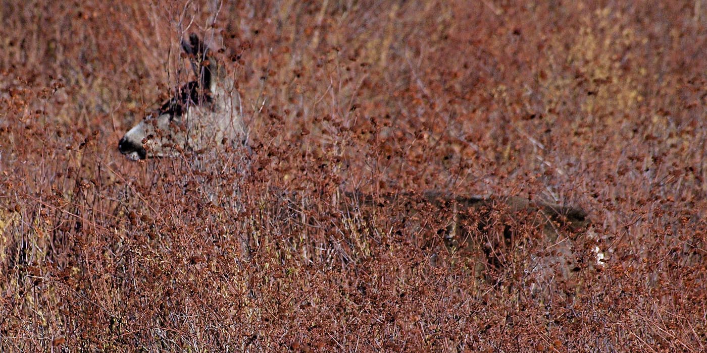
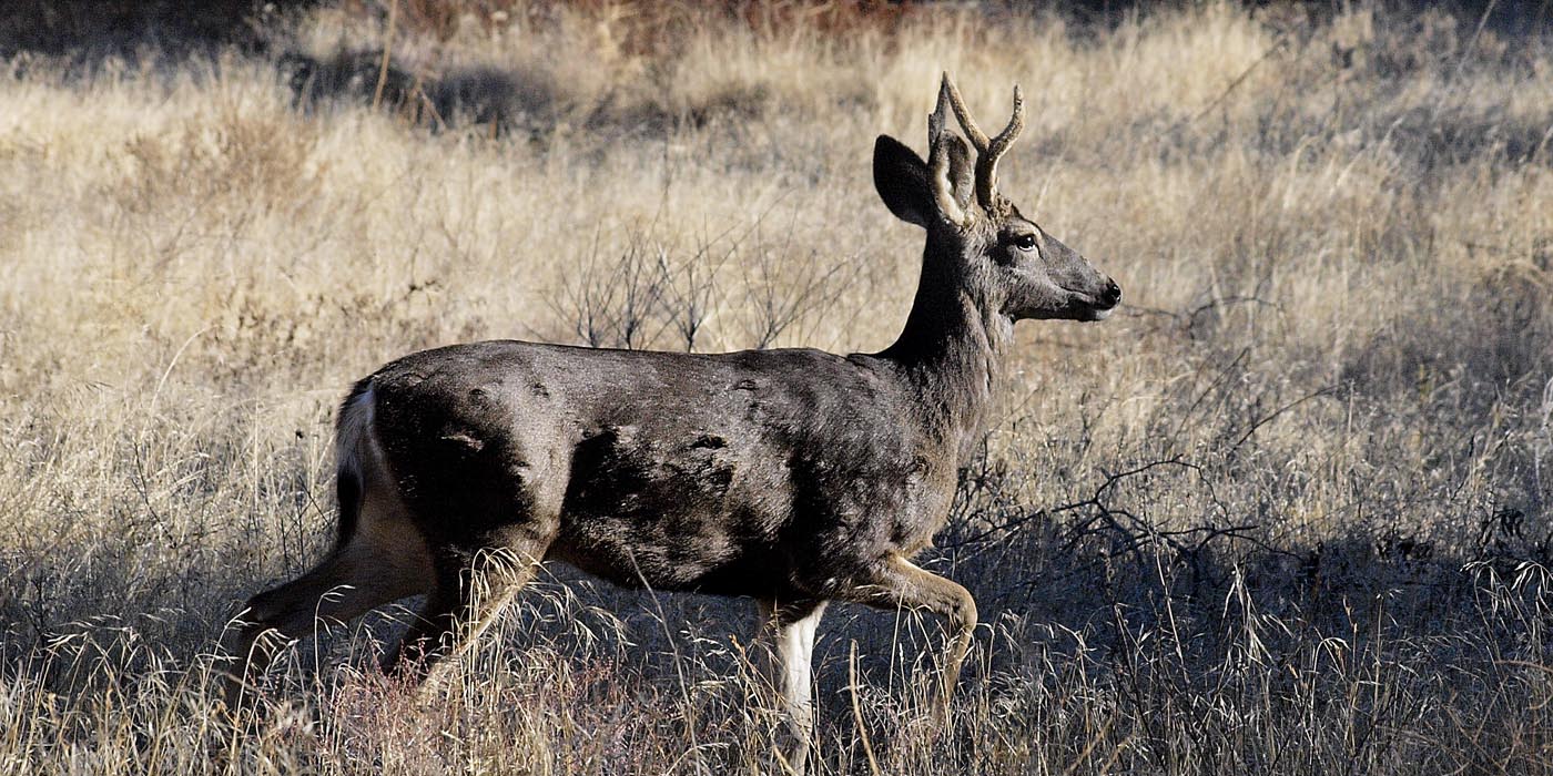
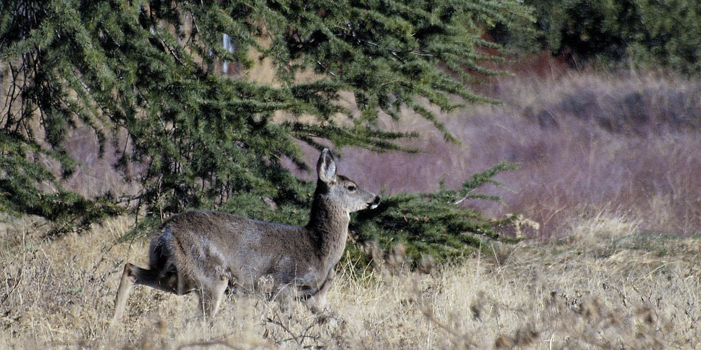
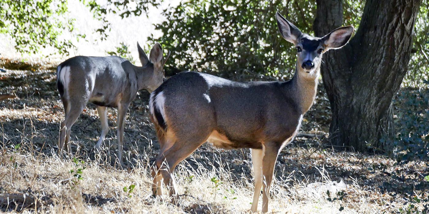
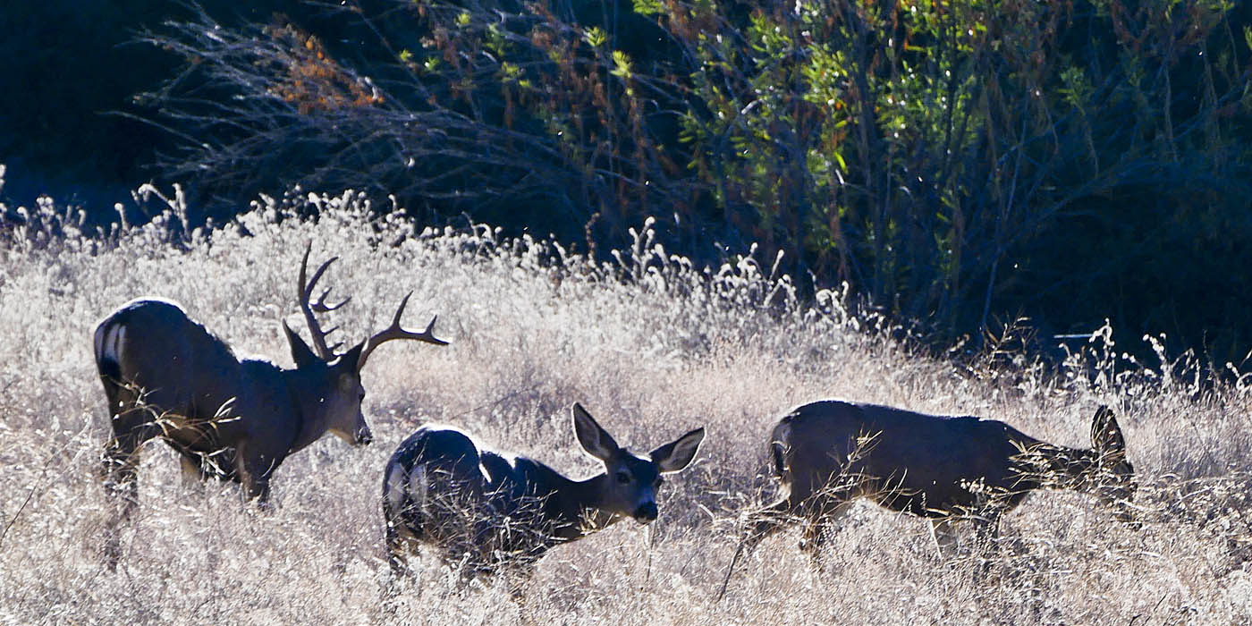
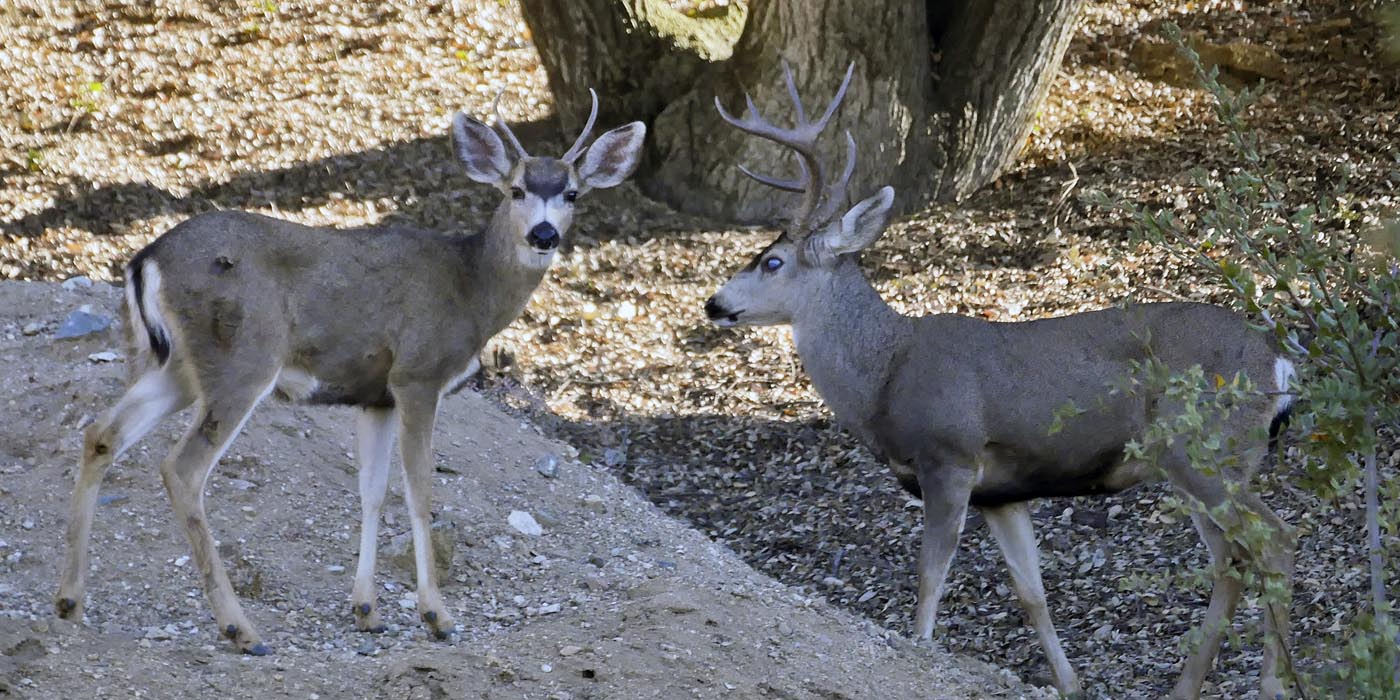
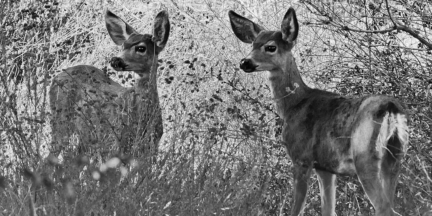
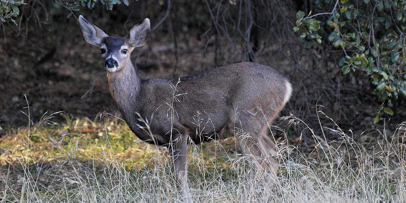
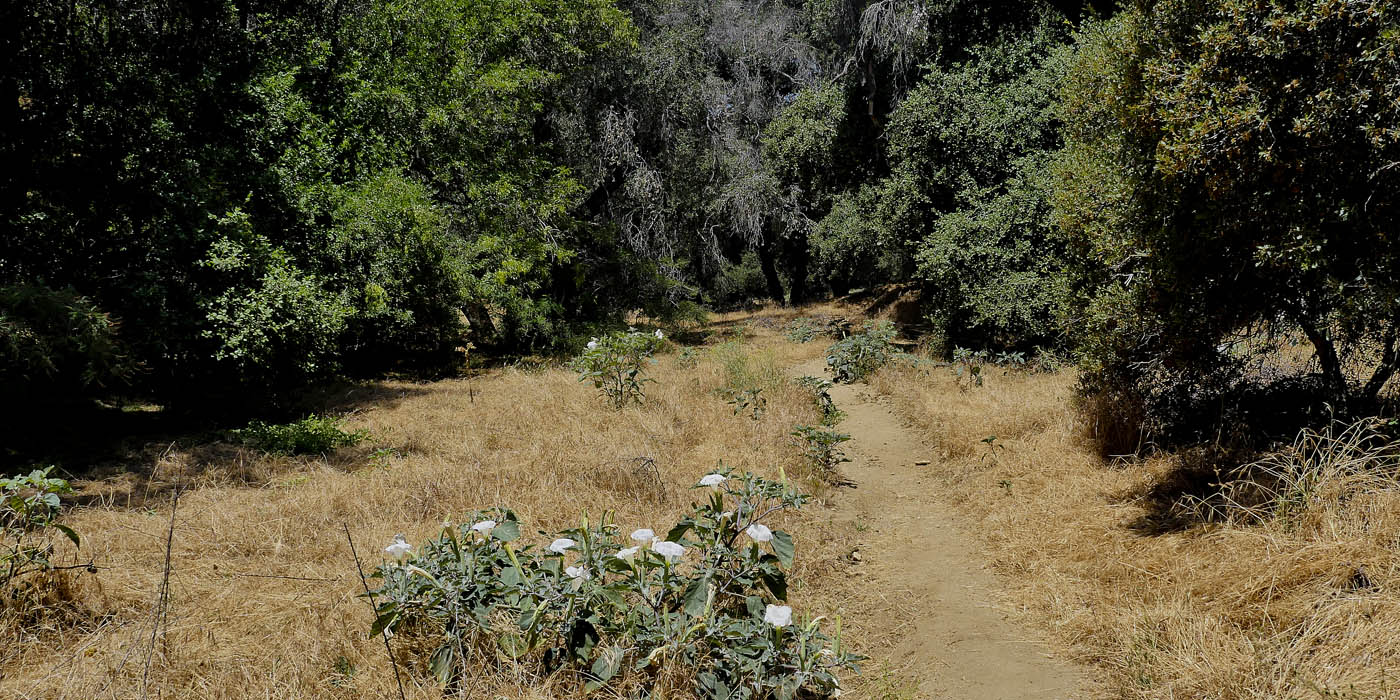
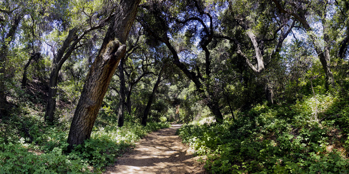
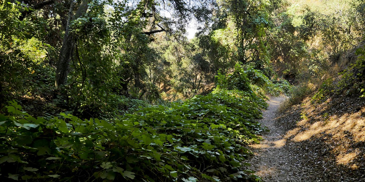
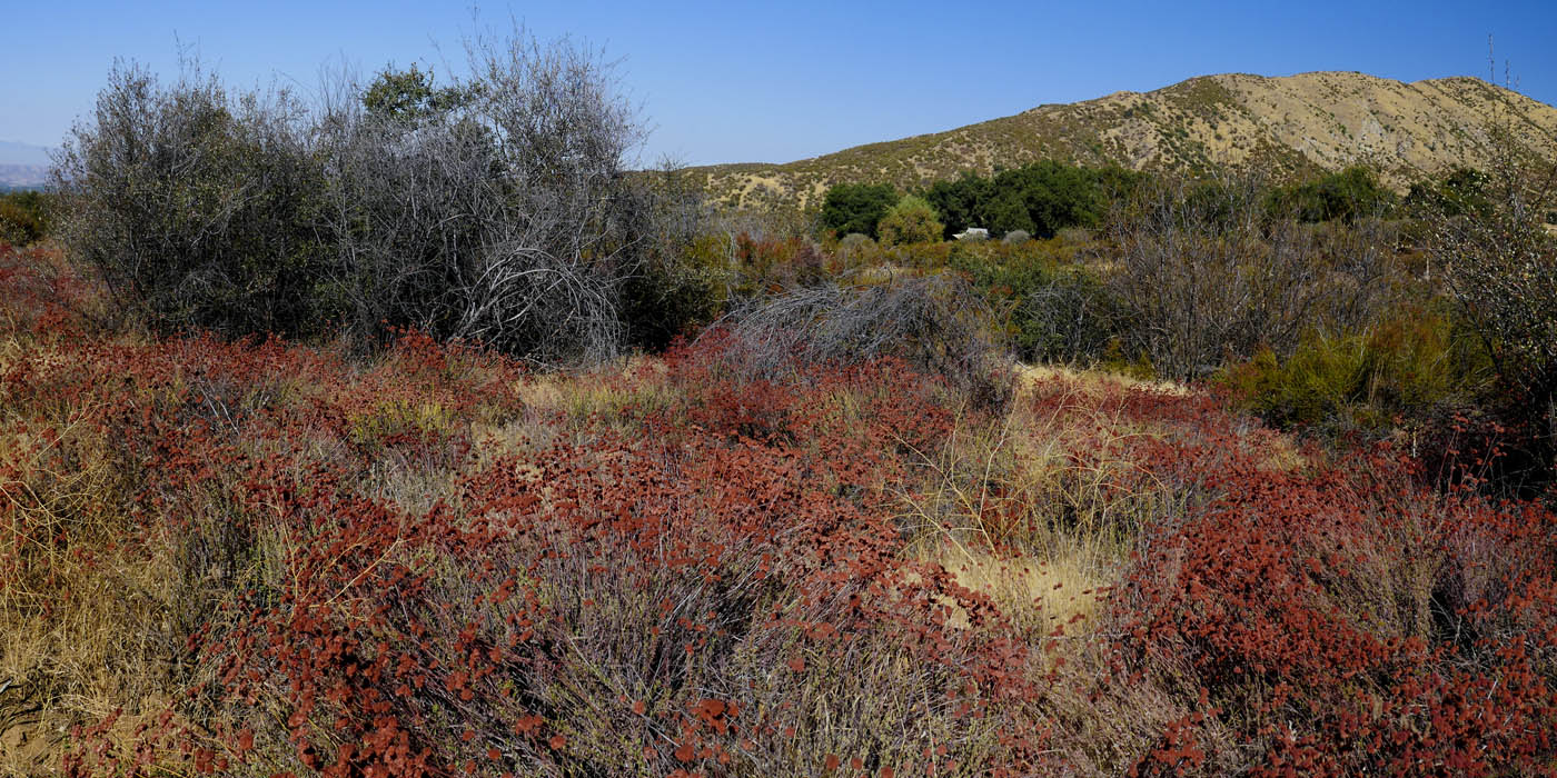
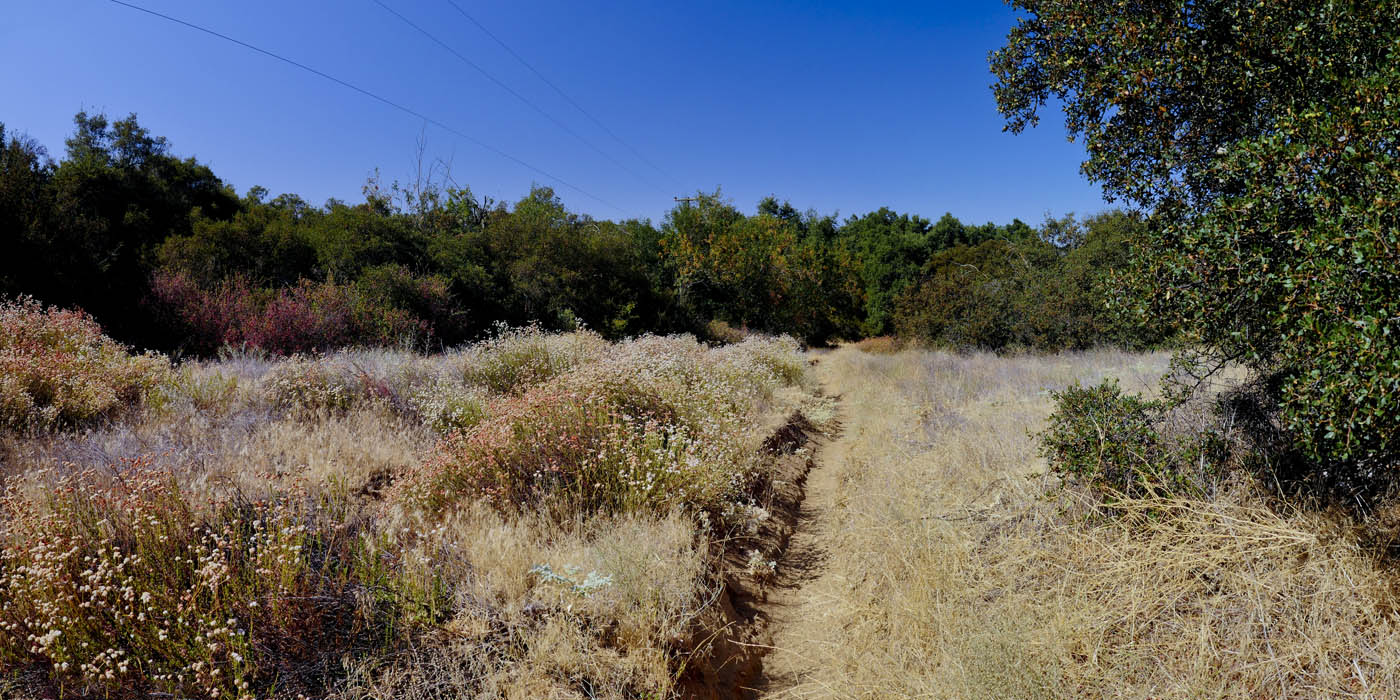
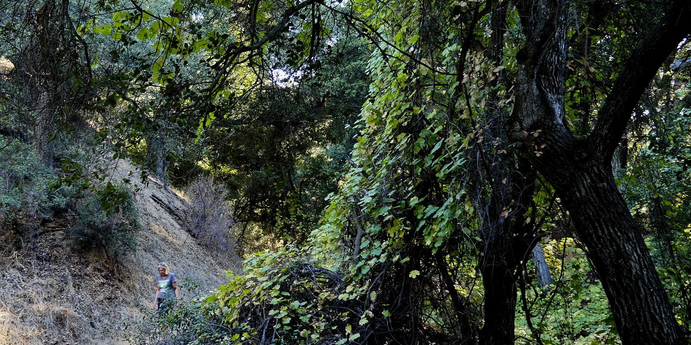
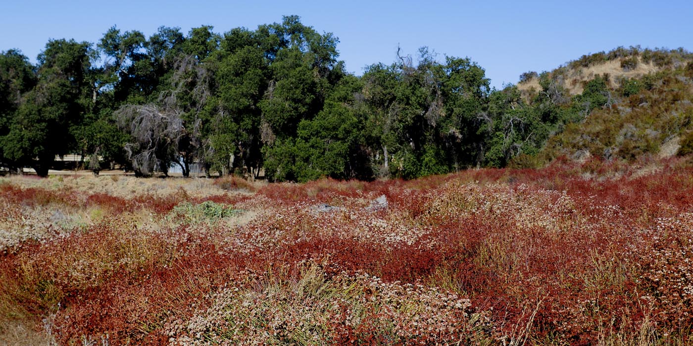
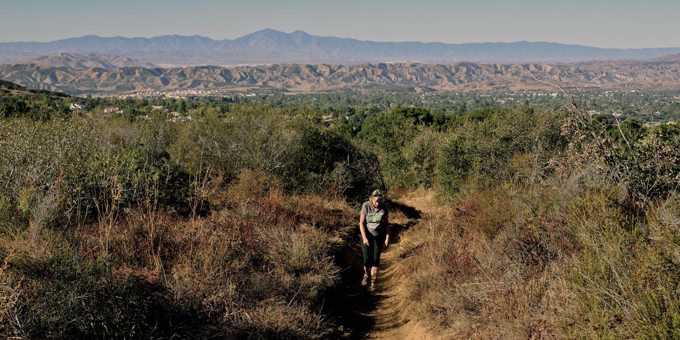
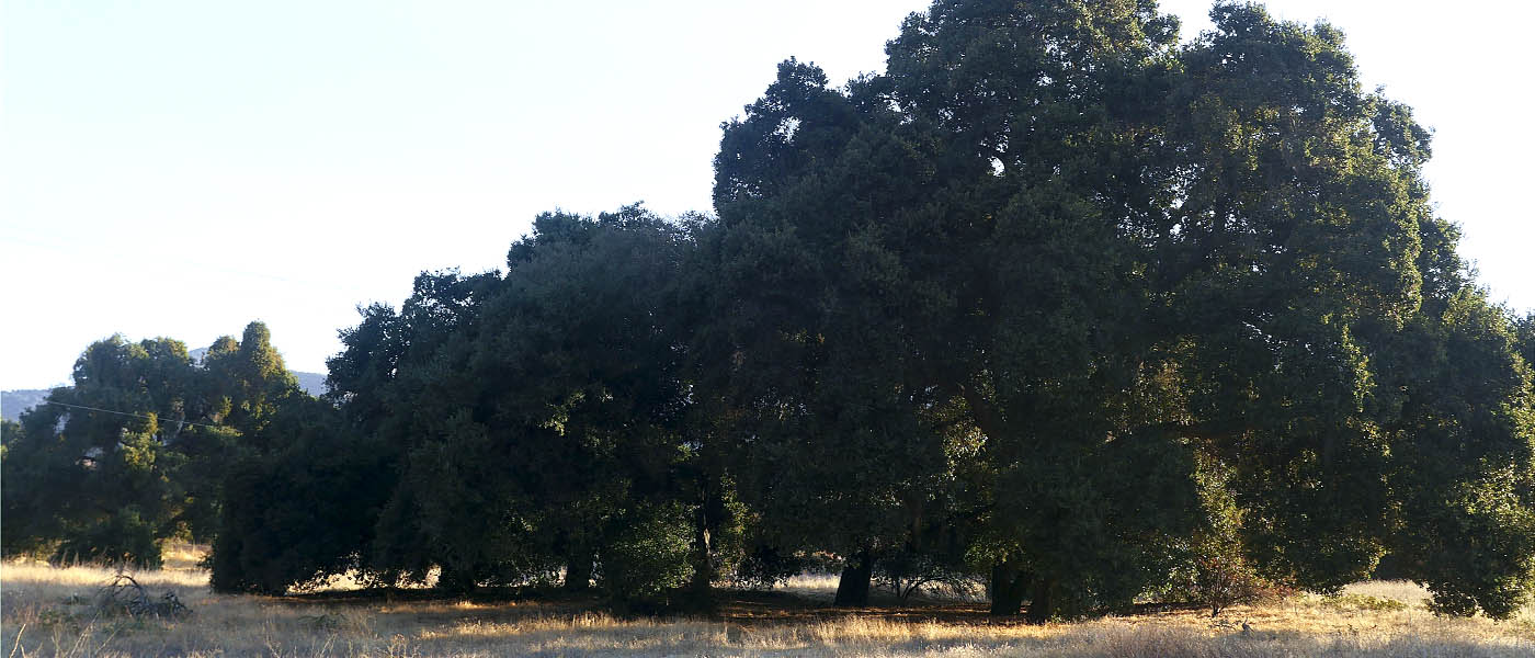
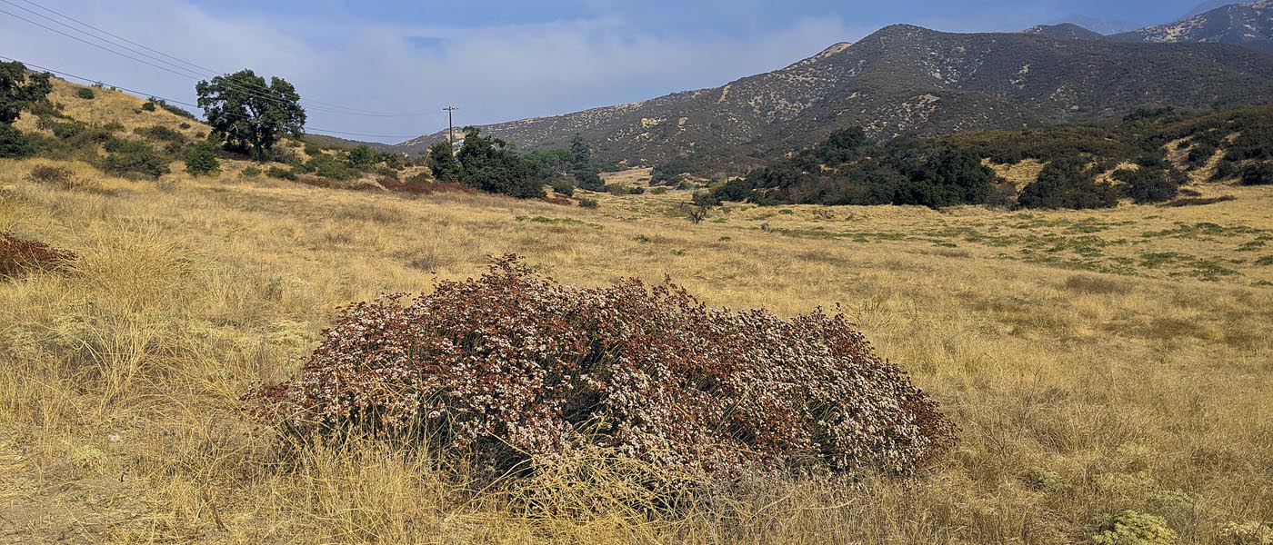
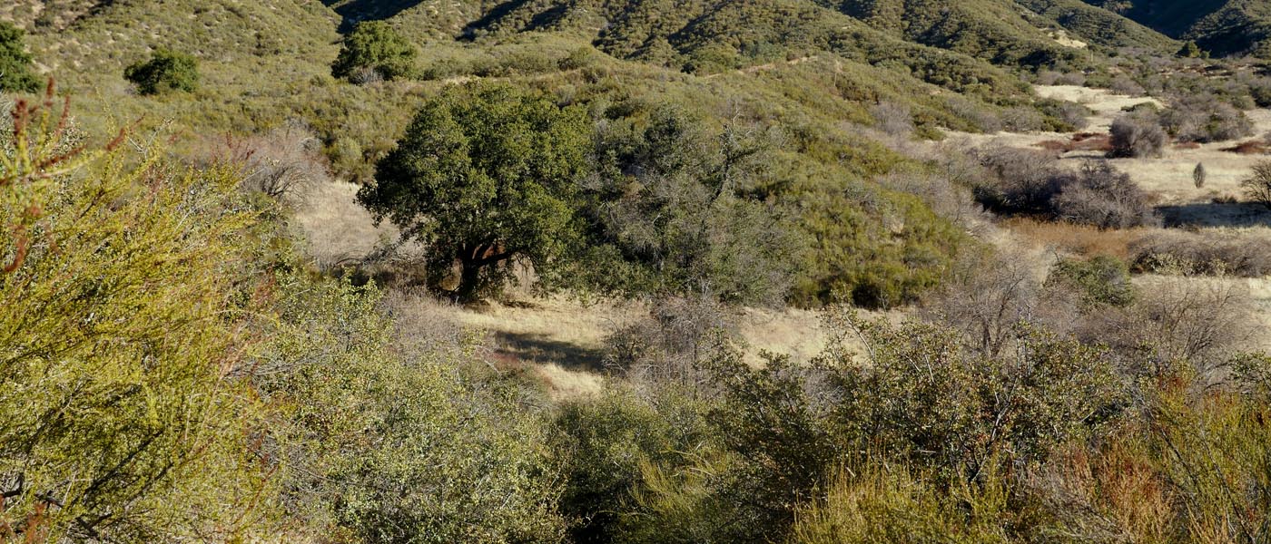
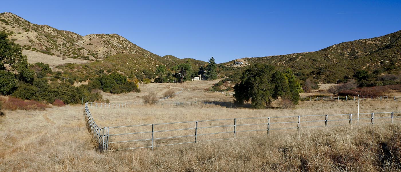
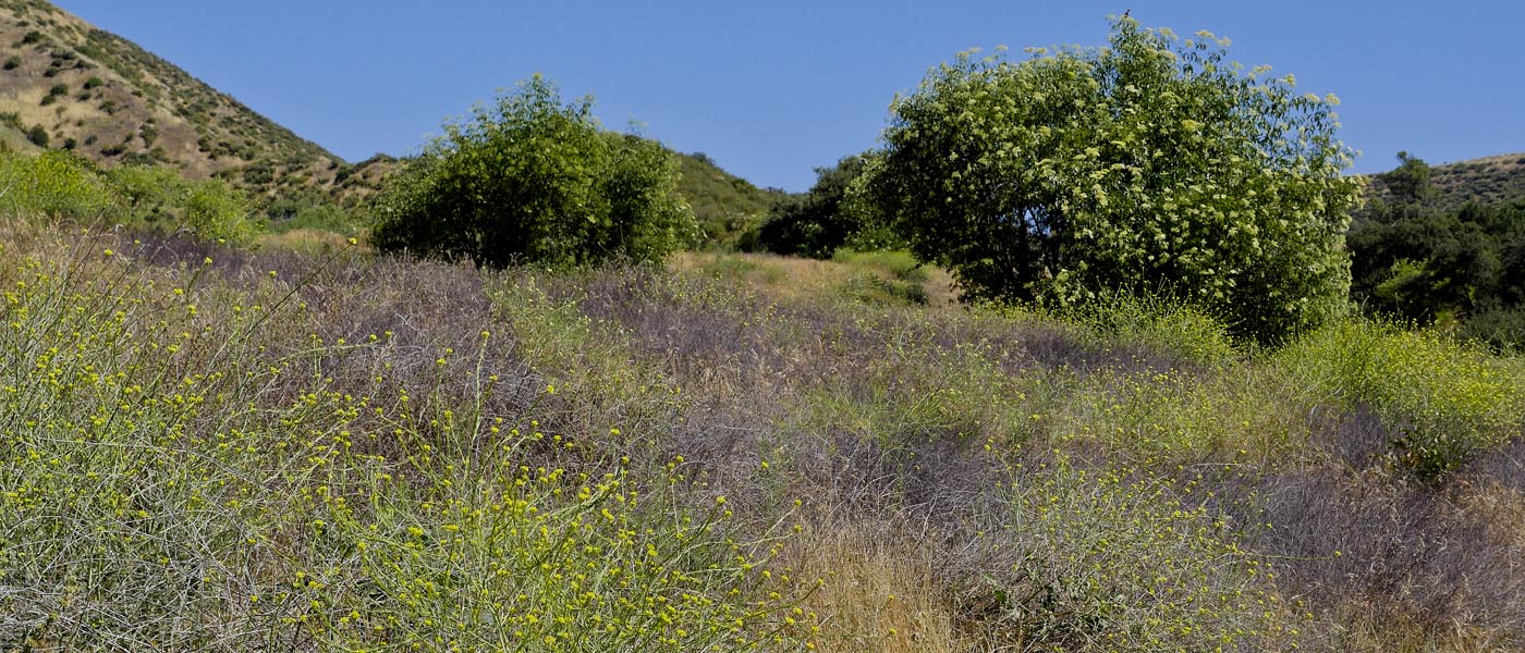
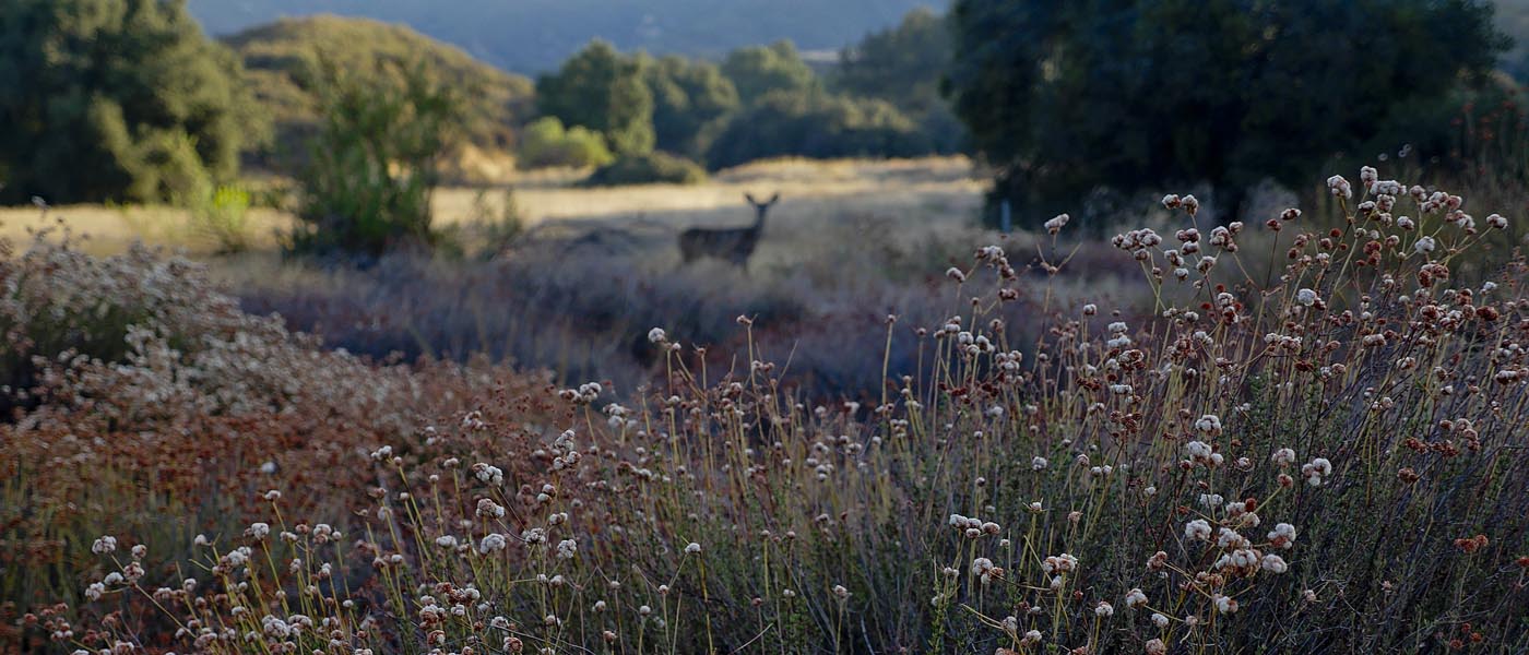
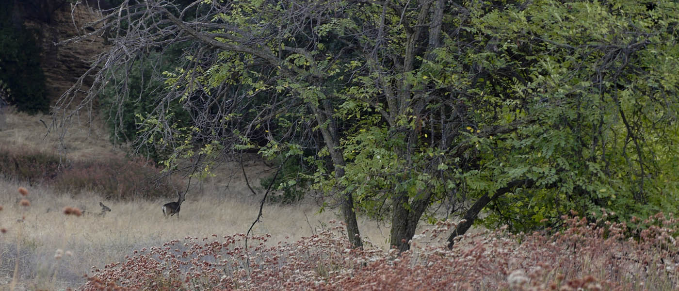
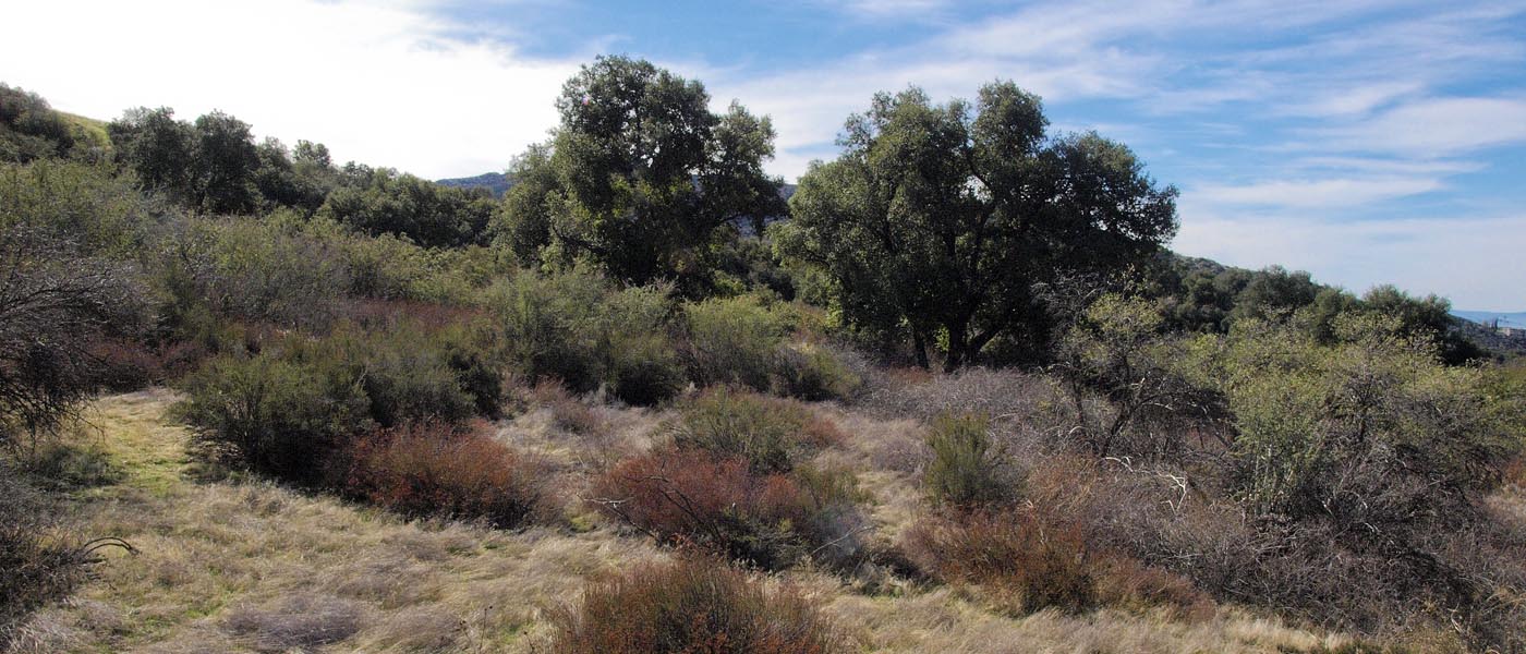
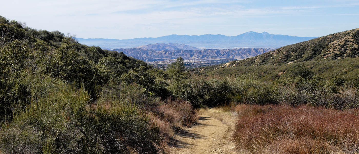
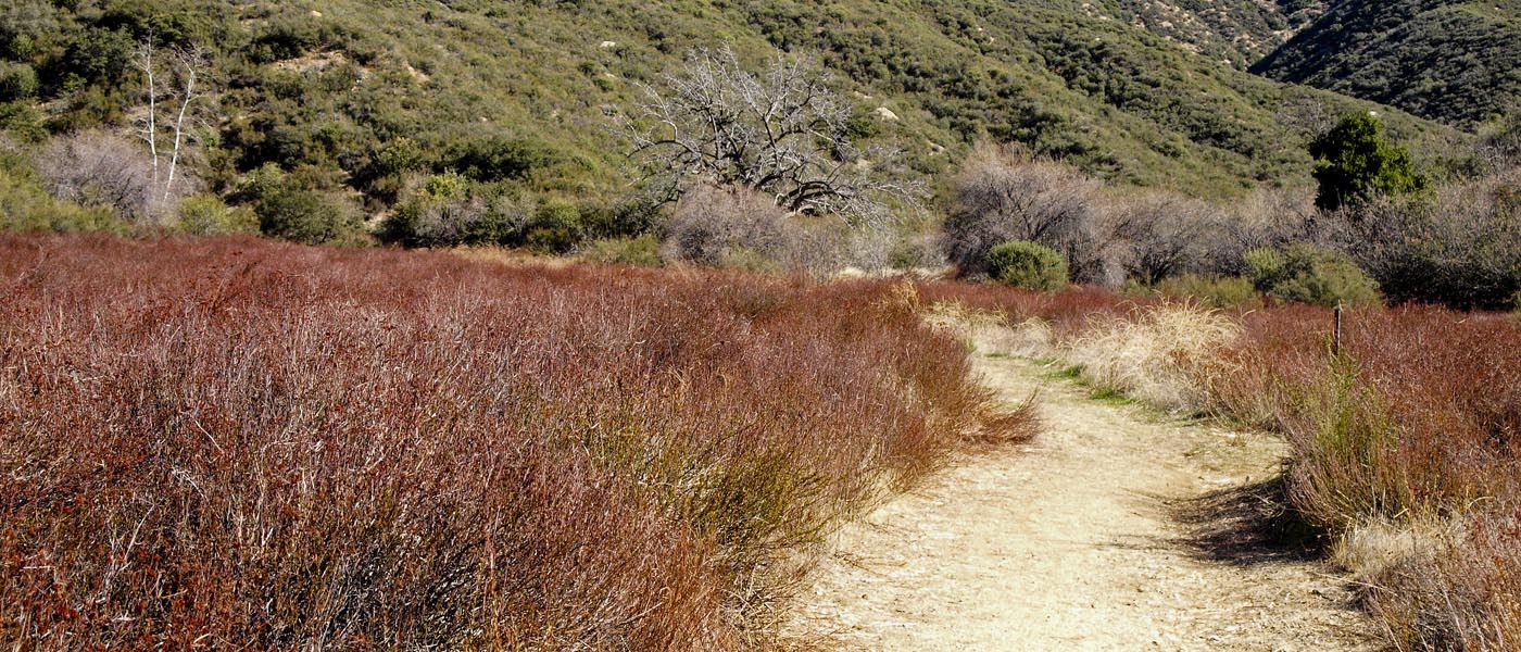
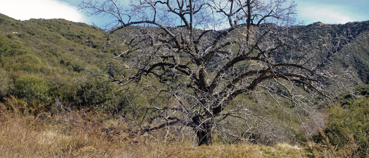
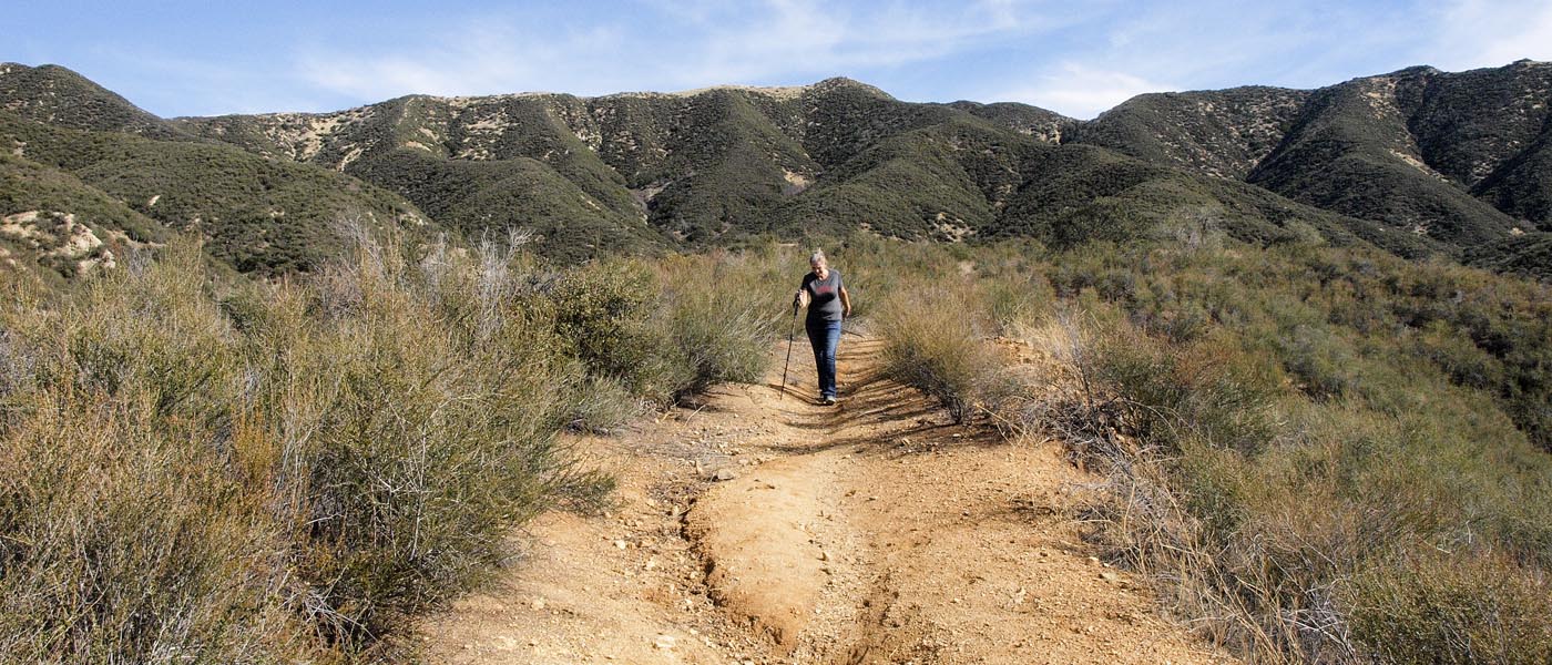
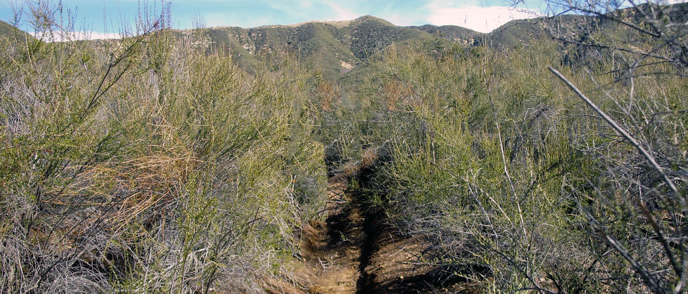
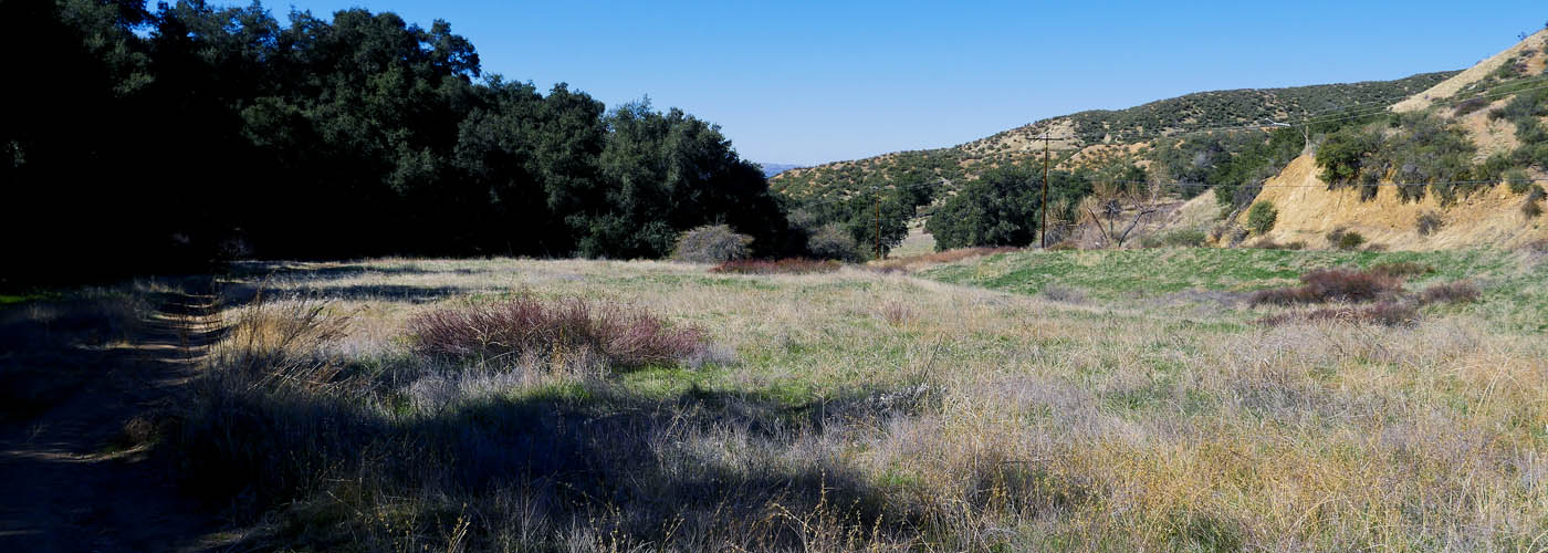
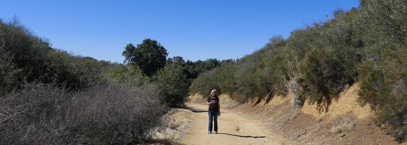
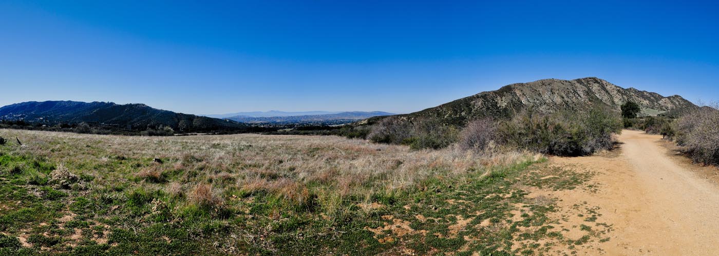
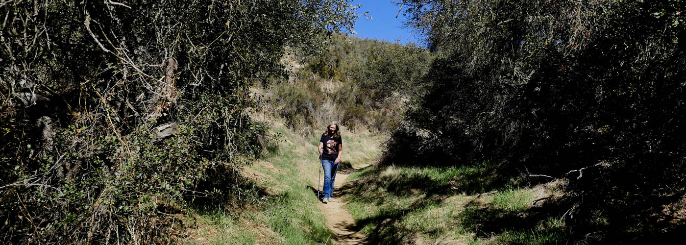
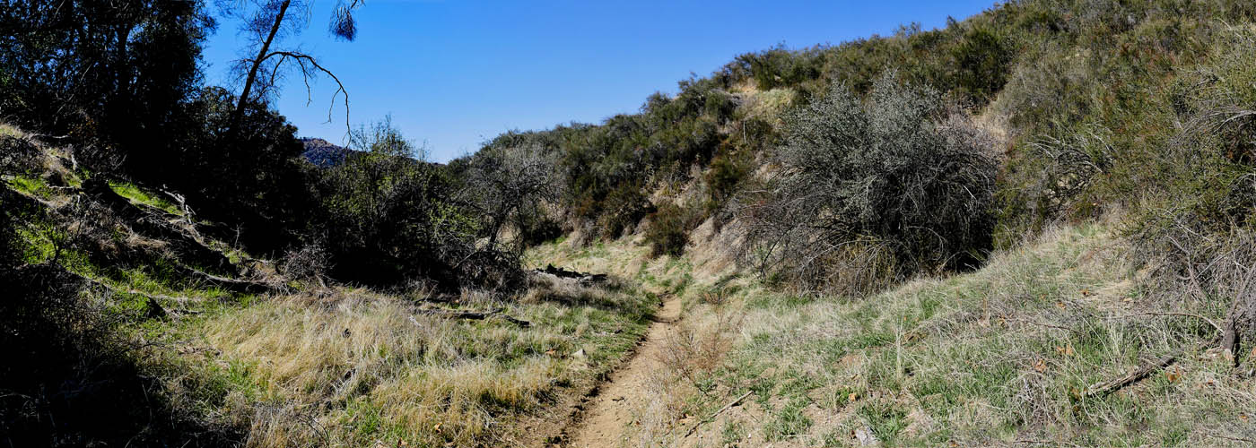
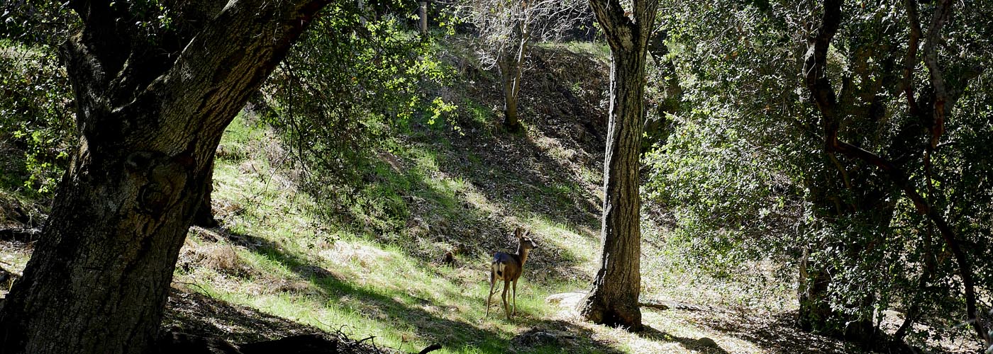
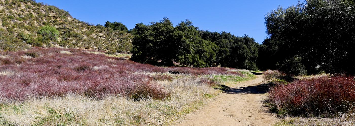
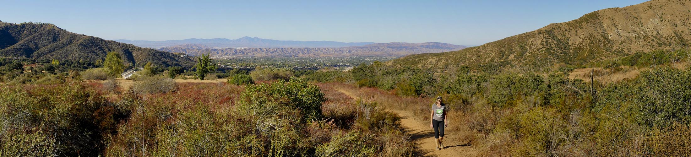
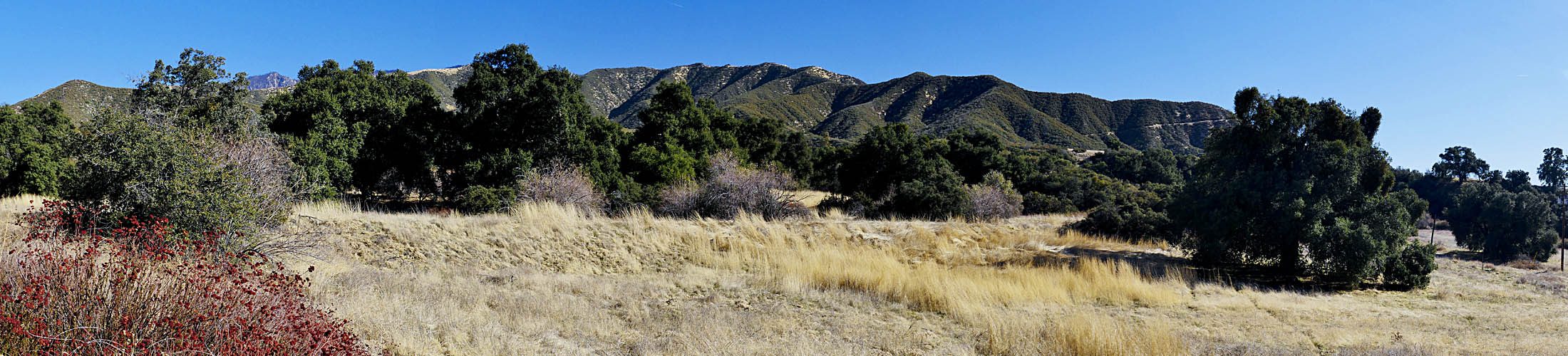
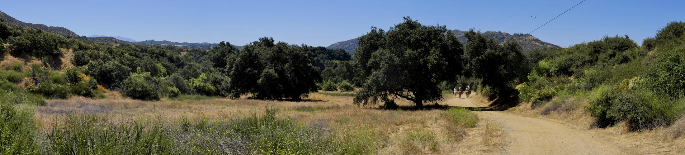
Wildwood Canyon State Park offers many trails for hiking, dog walking, horse riding, biking, and sight seeing. You can choose easy 1 mile hikes up to 11 mile harder trails. Always keep a lookout for wildlife. In the morning you will usually find plenty of deer. If you are lucky you may spot a bobcat, fox, or coyote . Mountain lions and bears have been spotted but it is a rare occurrence. Other animals include plenty of lizards, rabbits, squirrels and birds. Keep an eye out for rattlesnakes during warm months. Most of the time you can easily spot them sunning on the trails.

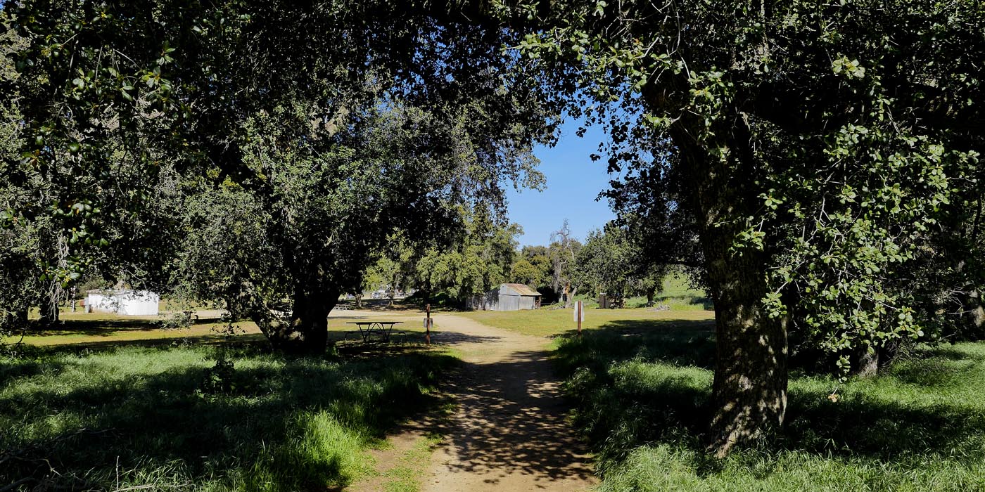
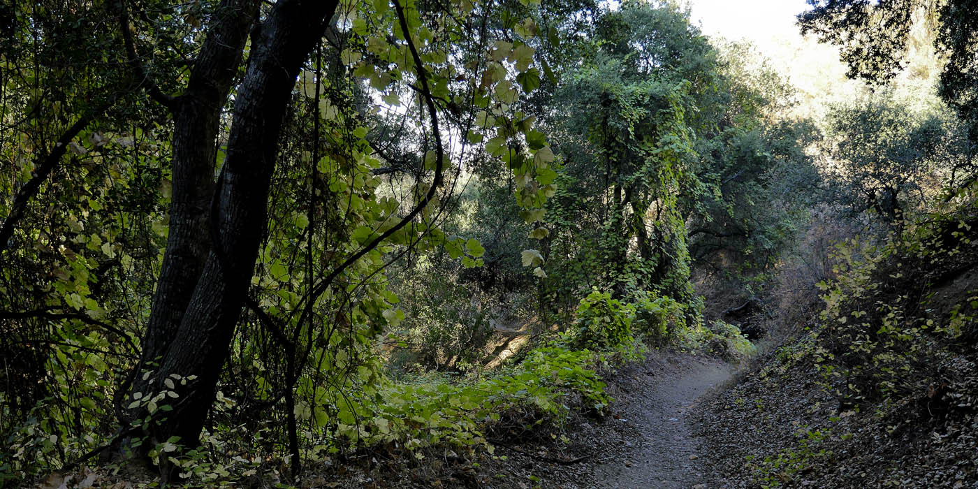
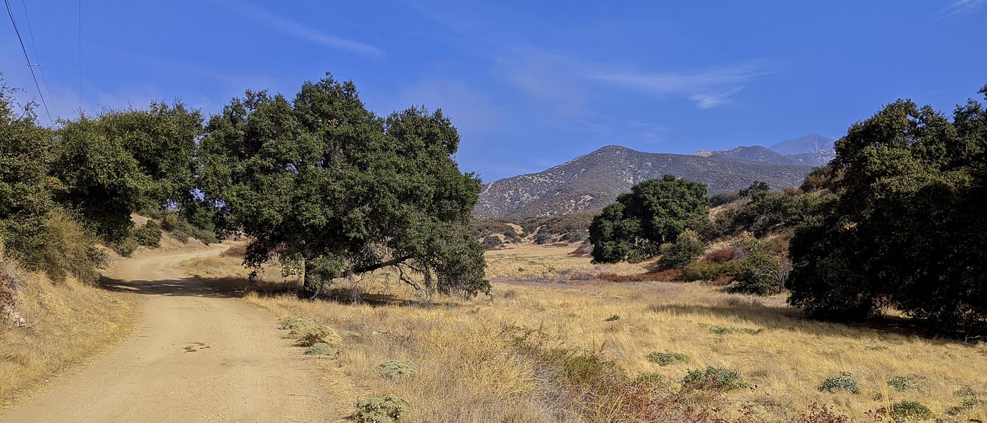
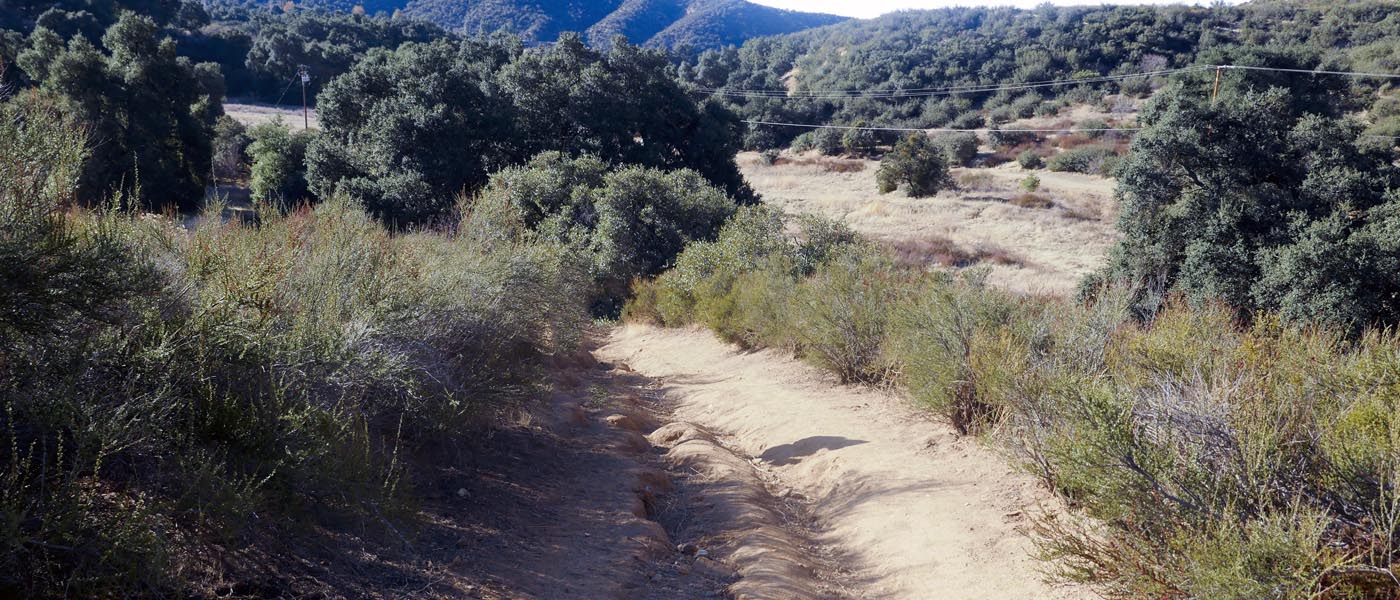
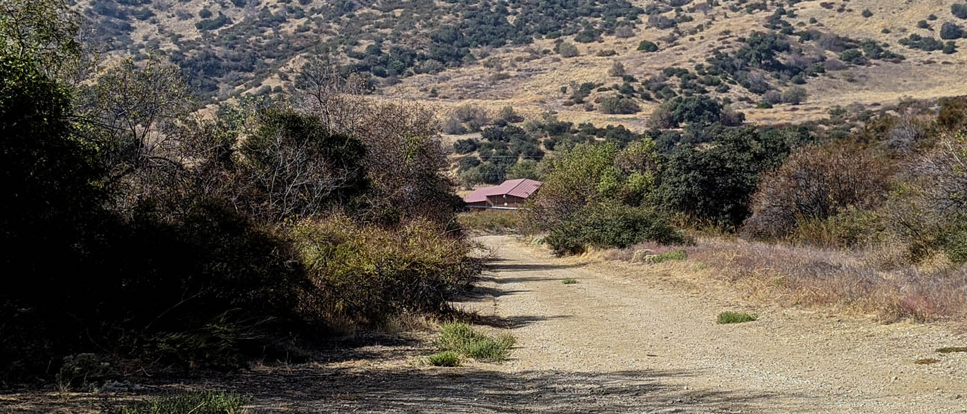
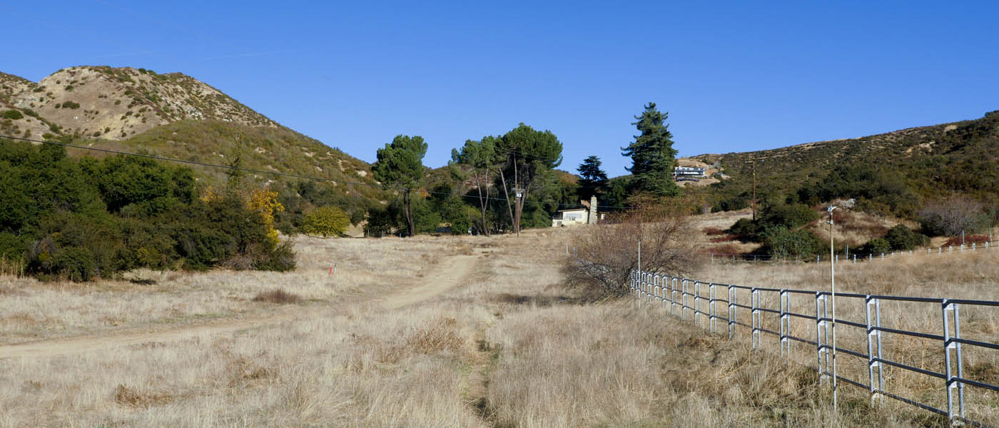
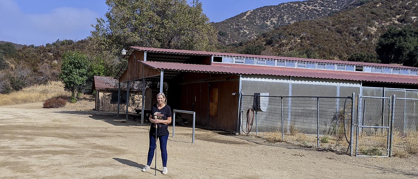
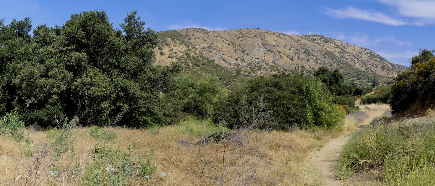
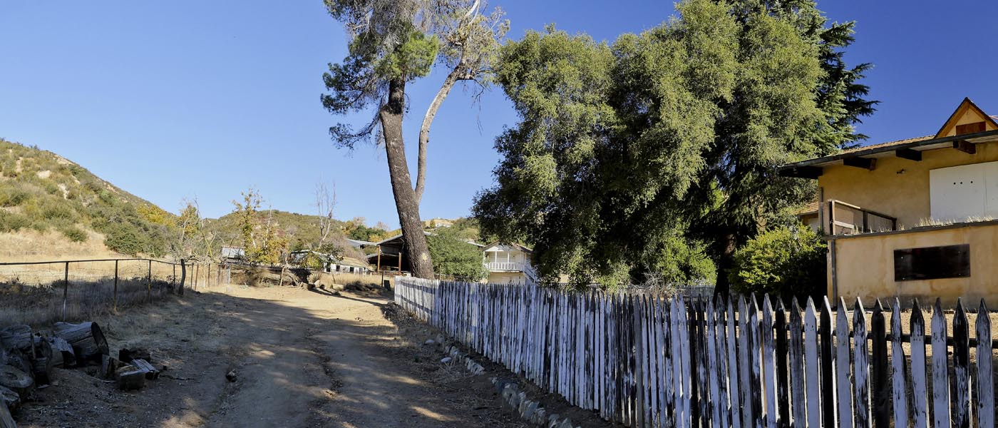
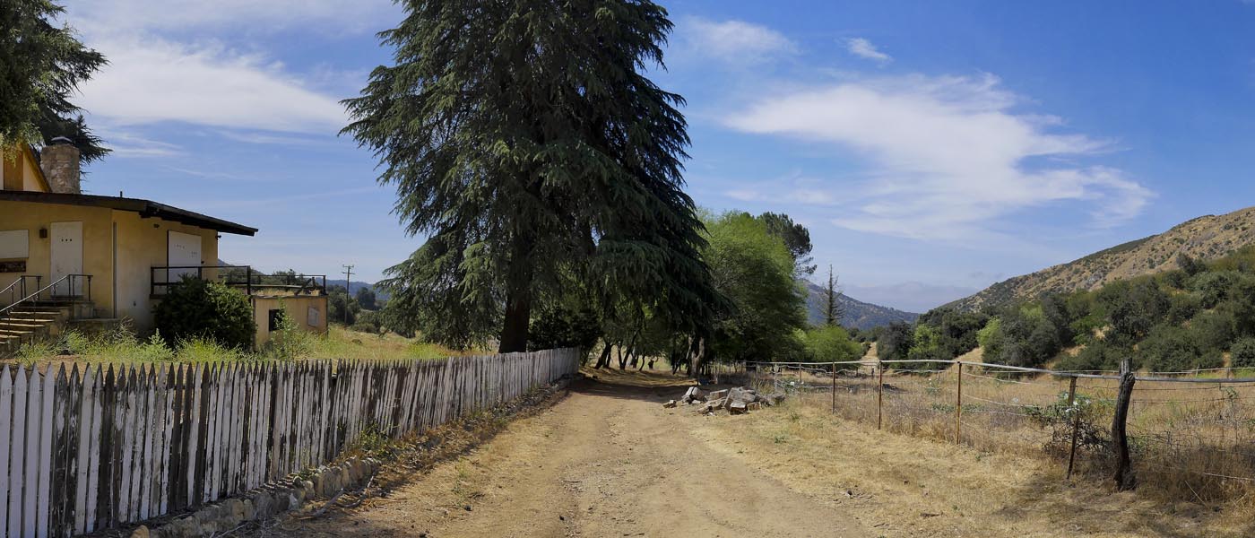
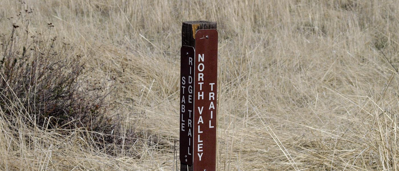
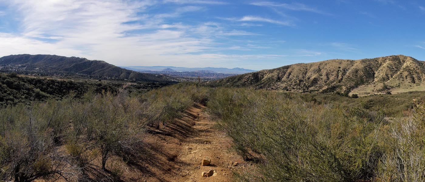
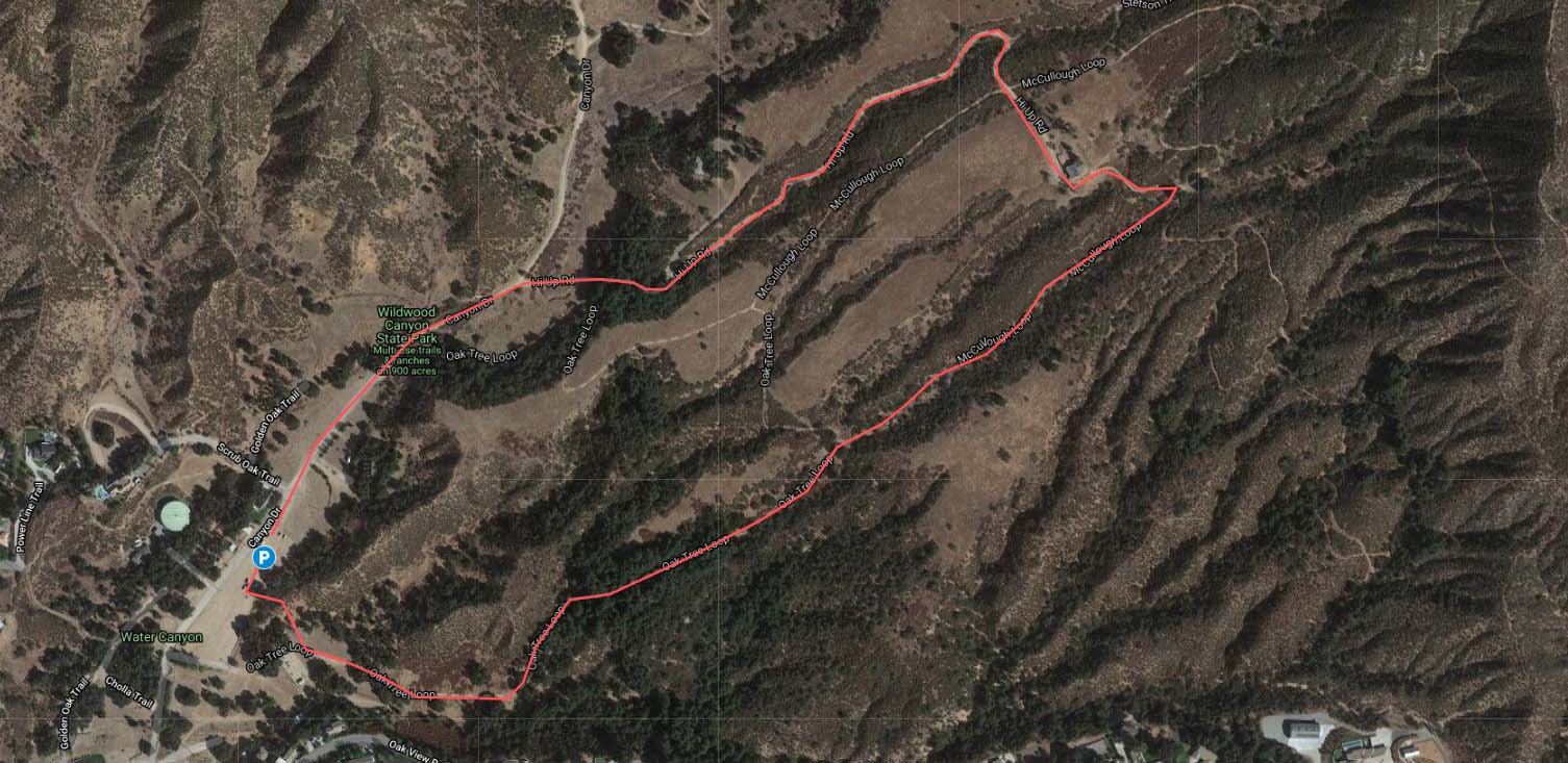
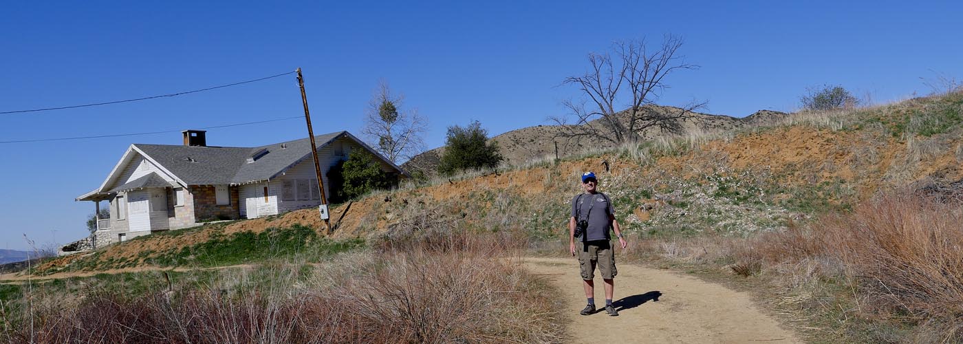
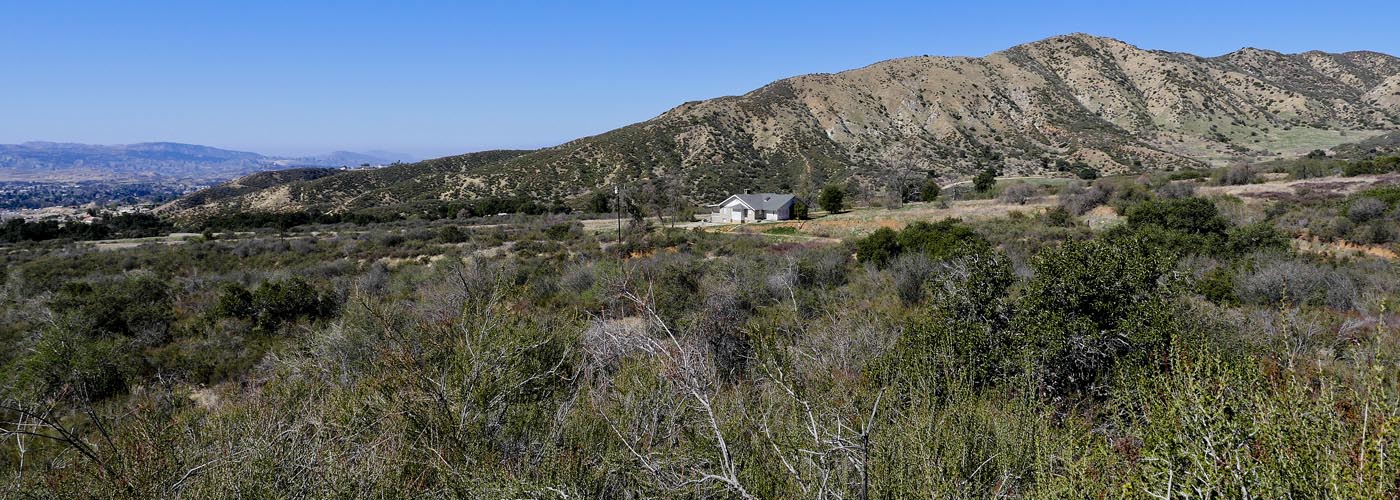
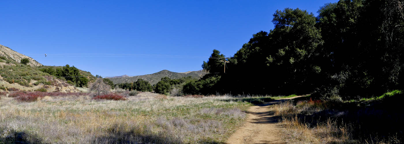
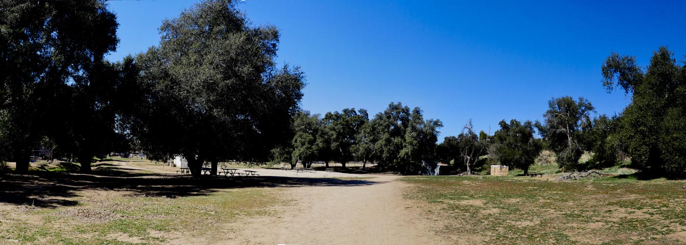
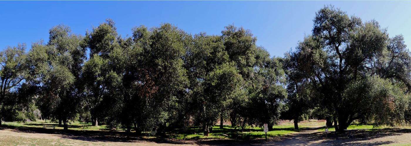
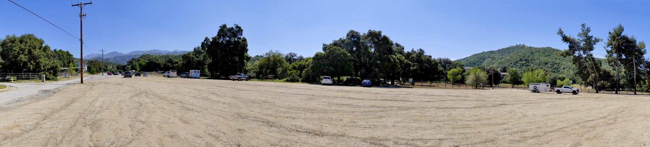
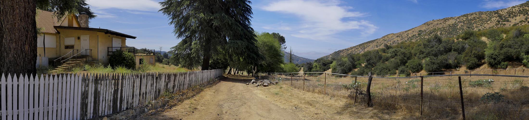
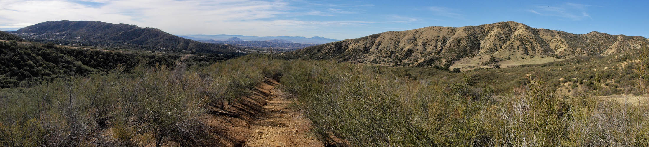
Wildwood Canyon state Park is located in Yucaipa off of Wildwood Canyon Road. From Beaumont follow Oak Glen Road and turn left on to Wildwood Canyon Rd. Look for the state park sign on the right ( from Yucaipa sign on the left) once you get to the bottom of the canyon. If you pass the regional park on the left you went to far. Follow the dirt road (Wildwood Canyon Drive) to the dirt parking area. Lower midway in the lot is the Oak Tree Loop entrance and picnic tables. The state park sign entrance is north on Wildwood Canyon Dr. Park at the fence. Only local residents can go further north by car. Follow road to park entrance.

Wildlife

  • wildlife
  • wildlife
  • wildlife
  • wildlife
  • wildlife
  • wildlife
  • wildlife
  • wildlife
  • wildlife
  • wildlife
  • wildlife
  • wildlife
  • wildlife
  • wildlife
  • wildlife
  • wildlife
  • wildlife
  • wildlife
  • wildlife
  • wildlife
  • wildlife
  • wildlife
  • wildlife
  • wildlife
  • wildlife
  • wildlife
  • wildlife
  • wildlife
  • wildlife
  • wildlife
  • wildlife
  • wildlife
  • wildlife
  • wildlife
  • wildlife
  • wildlife
.

Oak Tree Loop / McCullough Loop

length 2.4 miles | elevation 489 feet | loop

This hike starts from the lower portion of the parking lot. Look for the fence opening and walk trough the picnic area. Head straight to pick up the trail. Stay to to the right at the fork and head up McCullough Trail. You can follow McCullough around until it reconnects with Oak Tree Loop or take Hi-Up Rd (drive way for house) back to Wildwood Canyon Drive.

The Oak Tree Loop / McCullough Loop Hike is an easy 2 - 2.5 mile hike through a forest and stream . There is some elevation but not too steep. We have spotted deer, fox and coyote . The scenery changes with the seasons but is always pretty. This is a popular horse trail so watch where you step.

  • Oaktree Loop Trail
  • Oaktree Loop Trail
  • Oaktree Loop Trail
  • Oaktree Loop Trail
  • Oaktree Loop Trail
  • Oaktree Loop Trail
  • Oaktree Loop Trail
  • Oaktree Loop Trail
  • Oaktree Loop Trail
  • Oaktree Loop Trail
  • Oaktree Loop Trail
  • Oaktree Loop Trail
  • Oaktree Loop Trail
  • Oaktree Loop Trail
  • Oaktree Loop Trail
  • Oaktree Loop Trail
  • Oaktree Loop Trail
  • Oaktree Loop Trail
  • Oaktree Loop Trail
  • Oaktree Loop Trail
  • Oaktree Loop Trail
  • Oaktree Loop Trail
  • Oaktree Loop Trail
  • Oaktree Loop Trail
  • Oaktree Loop Trail
  • Oaktree Loop Trail
  • Oaktree Loop Trail
  • Oaktree Loop Trail

Stable Ridge Trail

length 1.7 miles | elevation 282 feet | loop

Go north on the Wildwood Canyon Drive. Turn right on North Valley Trail. After curving around take stable Ridge Trail to the left. Trail will rise and follow the top of the ridge. Look for small trail that takes you down the ridge below the stables. You can hike up to the stables and the water tower. We have spotted deer on the beginning of the trail. 2.5 hike with a slight incline. You will be treated with pretty views of the canyon.

We have spotted deer on the beginning of the trail. 2.5 hike as a steep incline then levels out. You can usually hear the woodpeckers busy storing their food.

  • Stable Ridge Trail
  • Stable Ridge Trail
  • Stable Ridge Trail
  • Stable Ridge Trail
  • Stable Ridge Trail
  • Stable Ridge Trail
  • Stable Ridge Trail
  • Stable Ridge Trail
  • Stable Ridge Trail
  • Stable Ridge Trail
  • Stable Ridge Trail
  • Stable Ridge Trail
  • Stable Ridge Trail
  • Stable Ridge Trail
  • Stable Ridge Trail
  • Stable Ridge Trail
  • Stable Ridge Trail
  • Stable Ridge Trail
  • Stable Ridge Trail
  • Stable Ridge Trail
  • Stable Ridge Trail
  • Stable Ridge Trail
  • Stable Ridge Trail
  • Stable Ridge Trail

Wildwood Canyon Drive

length 2.4 miles | elevation 291 feet | loop

Park all the way to the top of the parking lot. Head north on Wildwood Canyon Drive. The trees to the left at the state park sign is one of the main watering holes for the deer. You can usually spot some here especially early in the morning. Stay on trail all the way to Hunt's Ranch and turn right at fork . Trail ends at the locked gate. Head back following the dirt road all the way back.

The road has a gradual steady incline for 1 mile. We have spotted deer all the way up to the stables, with many on the trail. Keep looking into the fields for bobcat, coyotes, and mountain lion. The ranch area is a well known spot for rattlesnakes, that like to lay out on the trail. This is also a great spot for rabbits and ground squirrels. During mating season you will find many deer. The bucks can get aggressive and will charge if you provoke them.

  • Wildwood Canyon Trail
  • Wildwood Canyon Trail
  • Wildwood Canyon Trail
  • Wildwood Canyon Trail
  • Wildwood Canyon Trail
  • Wildwood Canyon Trail
  • Wildwood Canyon Trail
  • Wildwood Canyon Trail
  • Wildwood Canyon Trail
  • Wildwood Canyon Trail
  • Wildwood Canyon Trail
  • Wildwood Canyon Trail
  • Wildwood Canyon Trail
  • Wildwood Canyon Trail
  • Wildwood Canyon Trail
  • Wildwood Canyon Trail
  • Wildwood Canyon Trail
  • Wildwood Canyon Trail
  • Wildwood Canyon Trail
  • Wildwood Canyon Trail
  • Wildwood Canyon Trail
  • Wildwood Canyon Trail
  • Wildwood Canyon Trail
  • Wildwood Canyon Trail
  • Wildwood Canyon Trail
  • Wildwood Canyon Trail

Central Ridge Via N. Valley Trail

length 2.7 miles | elevation 400 feet | loop

From top of parking lot head north on Wildwood Canyon Drive. turn right onto North Valley Trail. Stay right onto North Valley trail at first fork. Stay on North Valley trail up to Central Ridge Trail and turn left at fork. Trail will continue along ridge Getting narrow and bushy. Trail finally cuts back and ends back on North Valley Trail. Head back down Wildwood Canyon Drive.

this 2.5 - 3 mile trail has a 650 ft elevation mostly at the start and stays level until the descent. Nice views and panoramas but little wildlife. The trail is more of a deer / horse path which is uneven and narrow.

Click Here for More Central Ridge hike pictures

  • central Ridge Canyon Trail
  • central Ridge Canyon Trail
  • central Ridge Canyon Trail
  • central Ridge Canyon Trail
  • central Ridge Canyon Trail
  • central Ridge Canyon Trail
  • central Ridge Canyon Trail
  • central Ridge Canyon Trail
  • central Ridge Canyon Trail
  • central Ridge Canyon Trail
  • central Ridge Canyon Trail
  • central Ridge Canyon Trail
  • central Ridge Canyon Trail
  • central Ridge Canyon Trail
  • central Ridge Canyon Trail
  • central Ridge Canyon Trail
  • central Ridge Canyon Trail
  • central Ridge Canyon Trail
  • central Ridge Canyon Trail
  • central Ridge Canyon Trail
  • central Ridge Canyon Trail
  • central Ridge Canyon Trail

Hi Up Rd. to McCullough Loop

length 2.4 miles | elevation 223 feet | loop

arches trail map

Park all the way to the top of the parking lot. Head north on Wildwood Canyon Drive. Stay to the right past the entrance and follow along the hills until you reach the trees. Turn right at Hi Top Rd. and follow up to Hi Up Ranch House. You can take a left at the McCullough Trail marker for a longer hike or keep on road past the house and follow trail to the fork and take the left trail. This will take you down to Oak Tree Loop and the lower park area. Hike back up the parking lot to your car.

The road has a gradual incline for 1 mile. You can usually spot deer in the forest area and before the park. We have spotted coyote and fox in this area as well. Hike is 2 - 2.4 miles depending on route.

Click Here for more Hi Up Road hike pictures

  • Wildwood Canyon Trail
  • Wildwood Canyon Trail
  • Wildwood Canyon Trail
  • Wildwood Canyon Trail
  • Wildwood Canyon Trail
  • Wildwood Canyon Trail
  • Wildwood Canyon Trail
  • Wildwood Canyon Trail
  • Wildwood Canyon Trail
  • Wildwood Canyon Trail
  • Wildwood Canyon Trail
  • Wildwood Canyon Trail
  • Wildwood Canyon Trail
  • Wildwood Canyon Trail
  • Wildwood Canyon Trail
  • Wildwood Canyon Trail
  • Wildwood Canyon Trail
  • Wildwood Canyon Trail
  • Wildwood Canyon Trail
  • Wildwood Canyon Trail
  • Wildwood Canyon Trail
  • Wildwood Canyon Trail
  • Wildwood Canyon Trail
  • Wildwood Canyon Trail
  • Wildwood Canyon Trail
  • Wildwood Canyon Trail
  • Wildwood Canyon Trail
  • Wildwood Canyon Trail