Ron & Jan's Favorite Yucaipa Hikes
Ron & Jan Hikes Slideshow
-
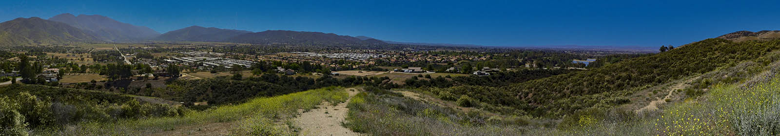
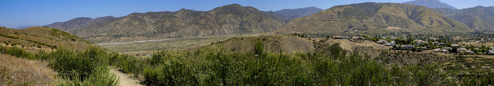
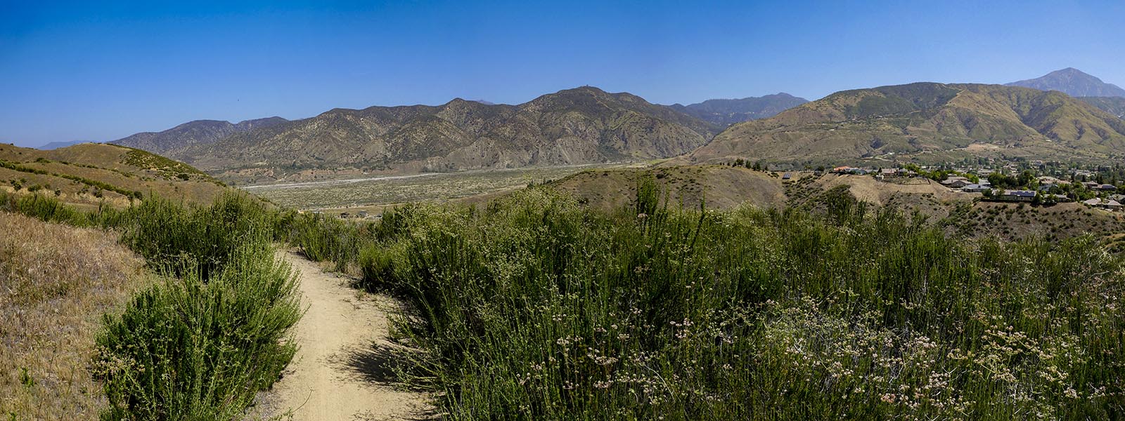
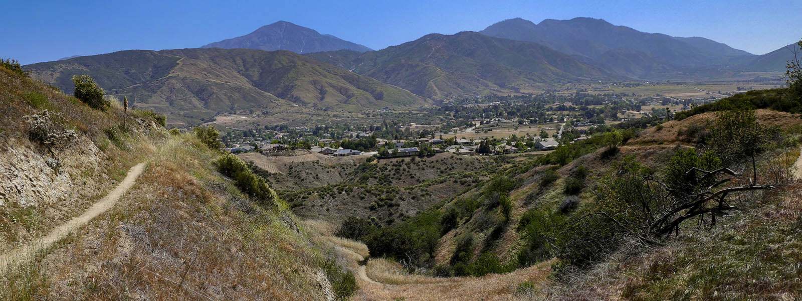
Yucaipa from Grape Ave. Trail
-
Oak Glen Rd Trail
-
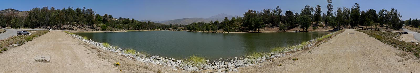
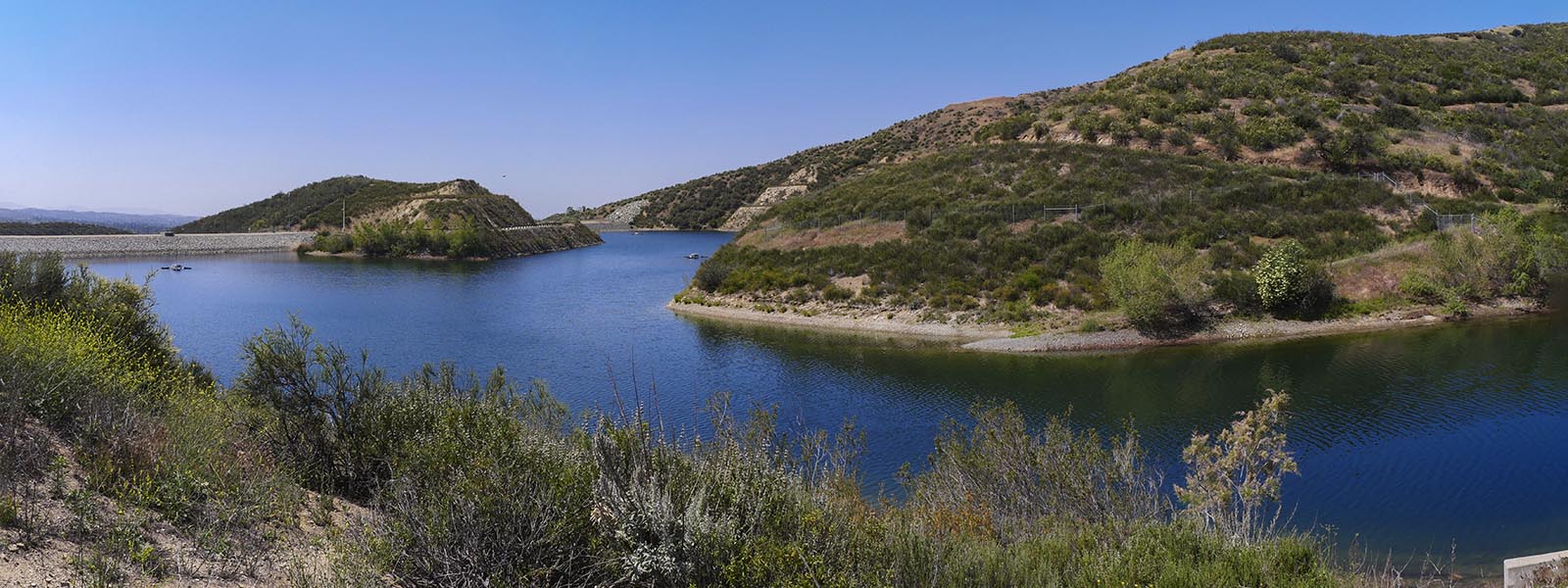
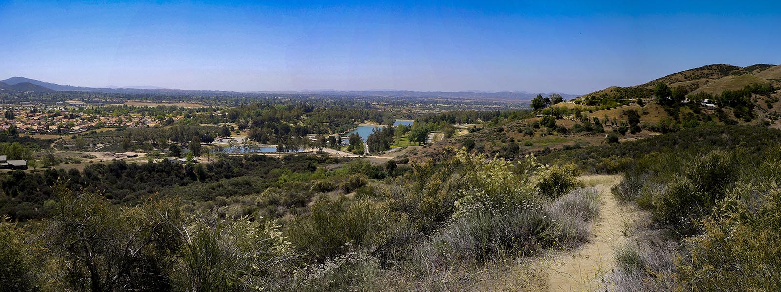
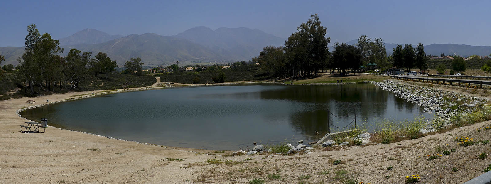
Upper lake Yucaipa Regional
-
Upper Lake Yucaipa Regional Park
-
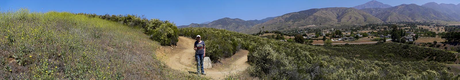
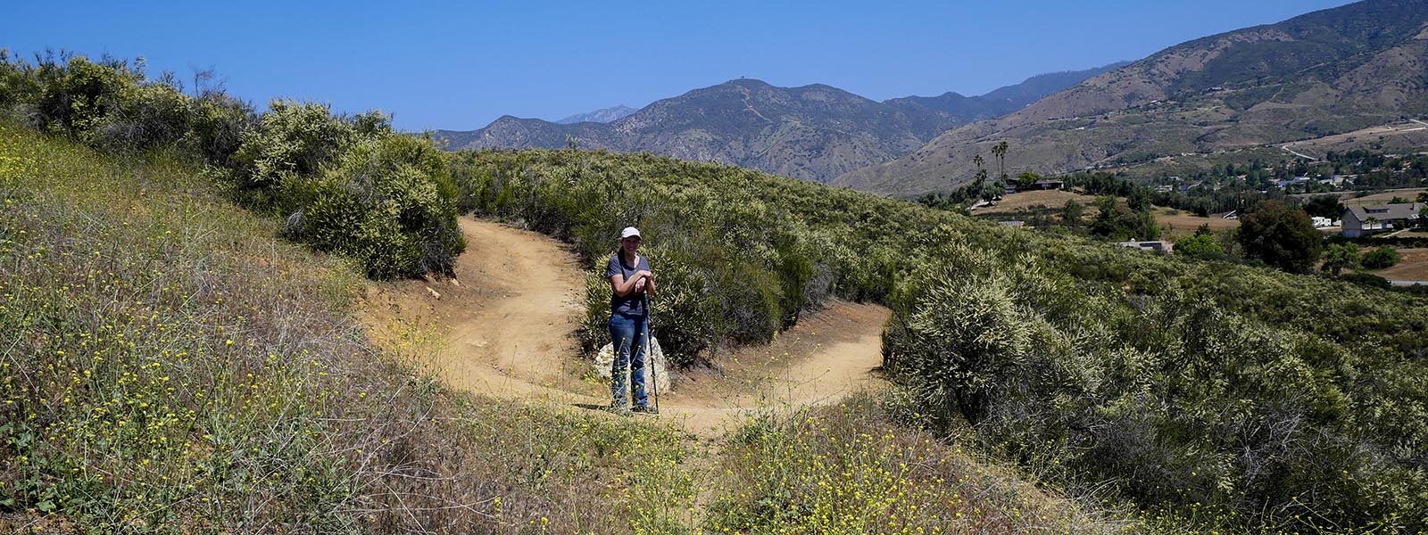
Zenja Peak Trail
-
Grape Ave. Trail
-
Yucaipa From Grape Ave. Trail
Hiking Wildwood State Park Yucaipa
Wildwood Canyon State Park is located off of Wildwood Canyon Rd. this park ahs many trails of all levels from easy to hard. This is a popular Equestrian park as well as a nice park to take your leashed dog. Deer, bobcat, rabbits and ground squirrels are frequantly spotted in the park. Fox, coyote, mountain lion, and bear use the area but are rarely seen. As with most places in Southern California there are rattlesnakes and gopher snakes in the park. They usully stretched along the road and are easy to spot. Be careful where you step and don't stick your hands in holes or rocks you cannot see into.
Link to Wildwood State Park Hikes
Local Hiking Guide other Yucaipa Hikes
Here you will find some of our favorite hikes located in Yucaipa Ca (other than Wildwood Canyon State Park). All but one are located off of Oak Glen Rd, near the Yucaipa Regional Park. You can choose a trail best suited to your needs. All but the Zanja Peak Trail are easy with under 400 ft elevation. Zanja Peak Loop is considered a moderate hike at 1,180 ft elevation. Wildwood Park is located across the street from Wildwood Canyon State Park. All Trails have free parking.
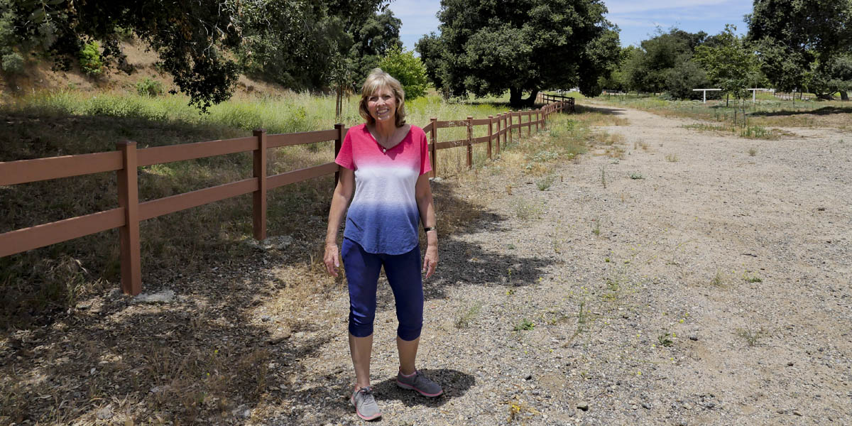
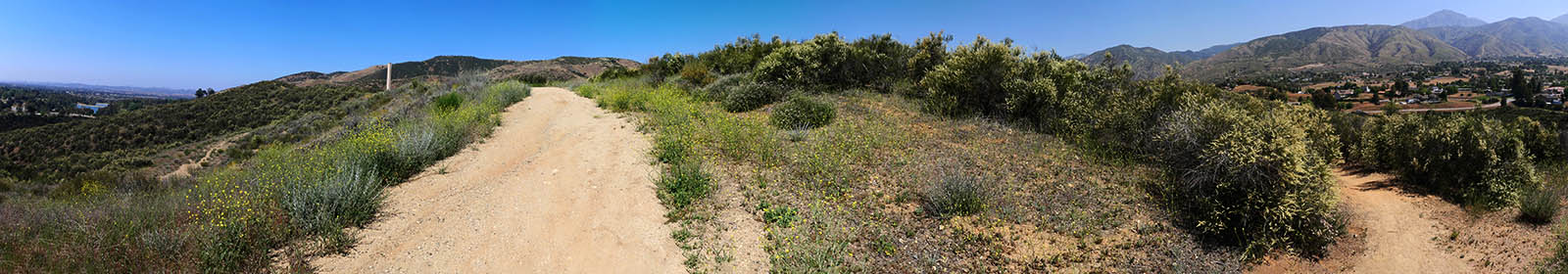
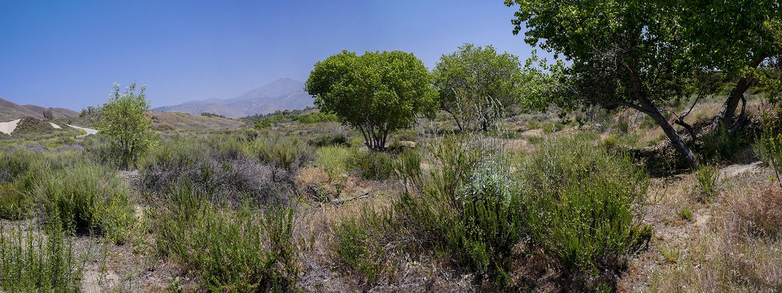
Grape Ave. Trail
Length 6.7 miles | elevation 1,338 feet | moderate out and back
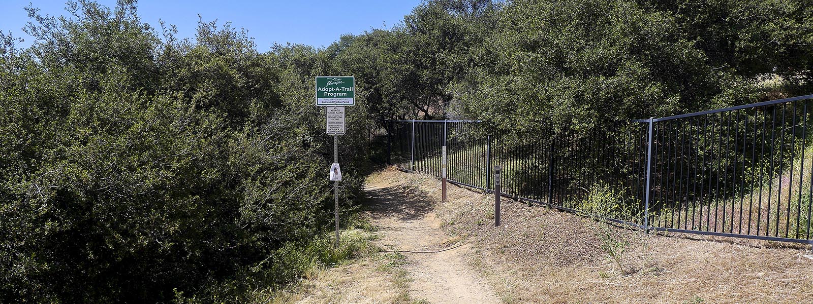
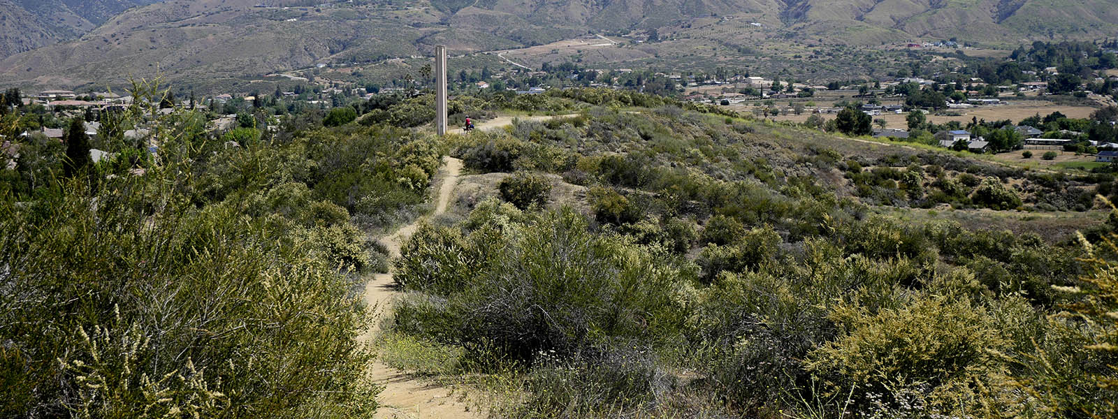
For a shorter hike to the Peak try Grape Ave. Trail to Zanja Peak
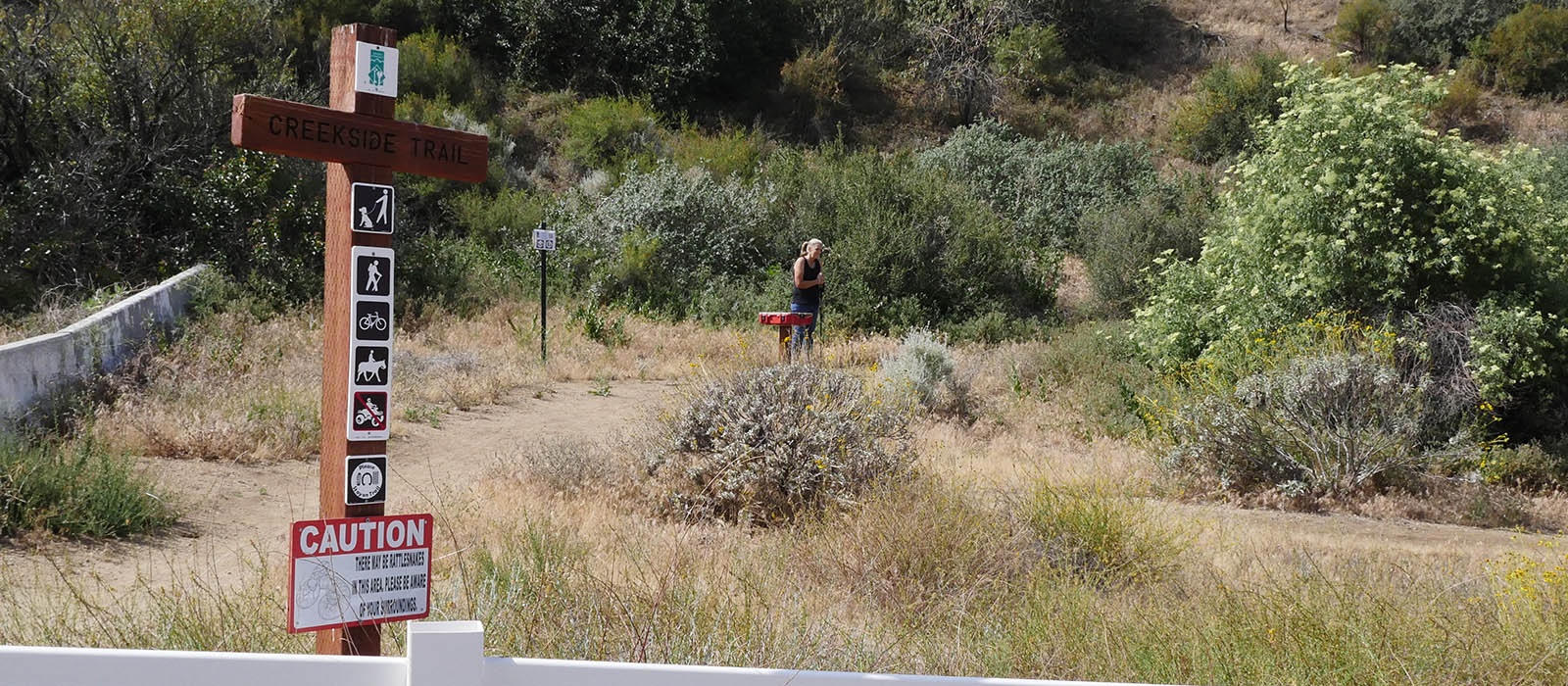
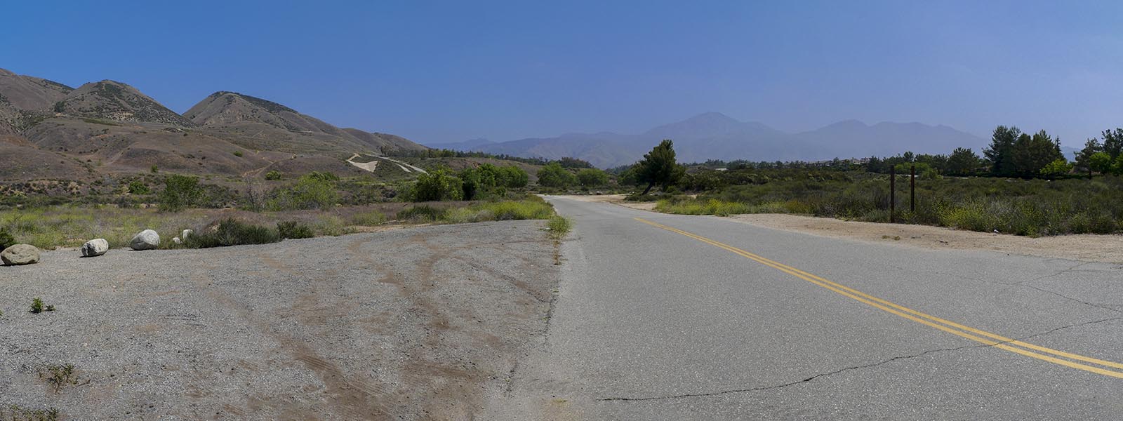
This is a nice little out of the way hiking spot located off of Bryant on Grape Ave. Just go up Bryant and turn left at Grape Ave. Look for the trailhead on the left and park anywhere on the street. The trail is used my mountain bikers, so be aware.
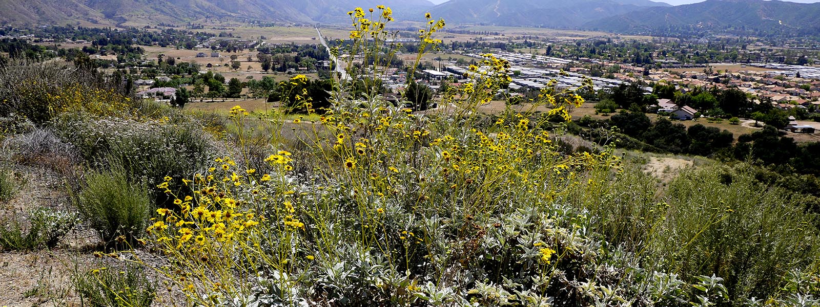
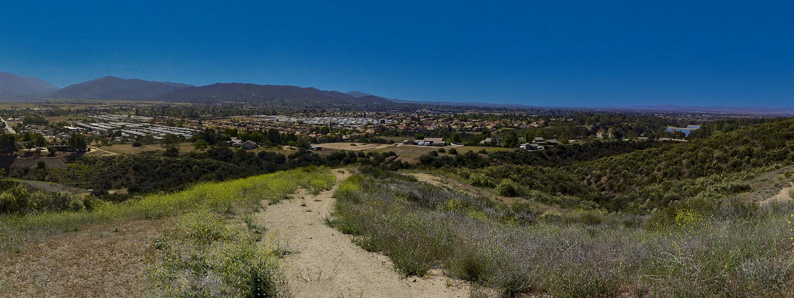
The hike will take you up to a resavoir with beautiful views of Yucaipa and surrounding mountains. The trail heds up to the top and back down to Yucaipa Regional park and then back out the way you came. We prefer to skip hiking to the park and instead hike to the peak . This will make for a shorter 5.2 mile hike and less elevation (900 ft).

Click HERE for more images
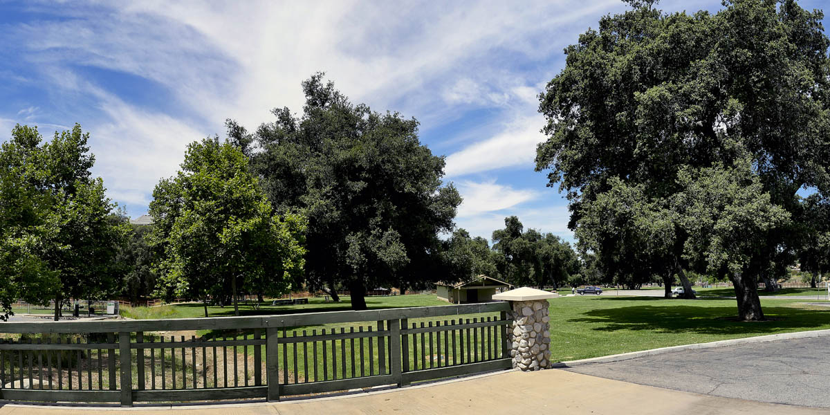
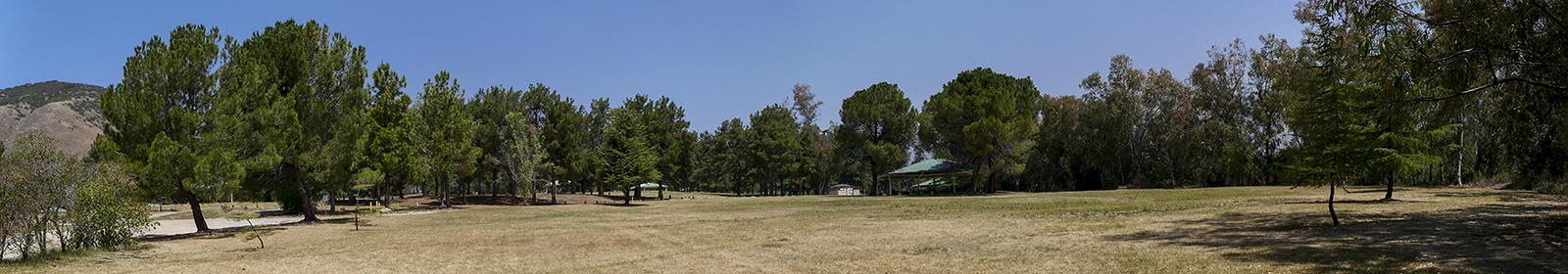
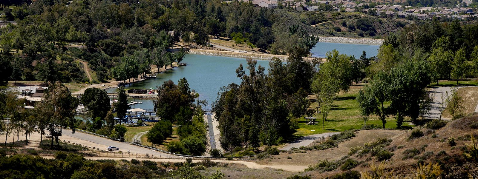
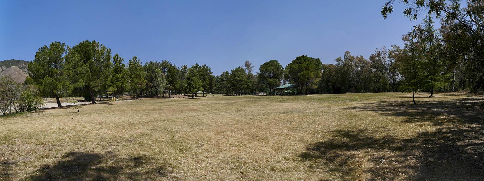
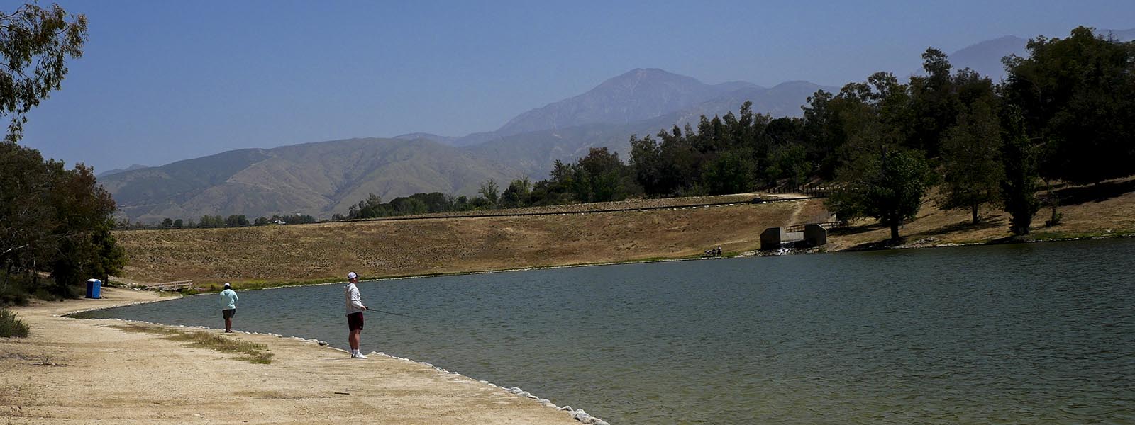
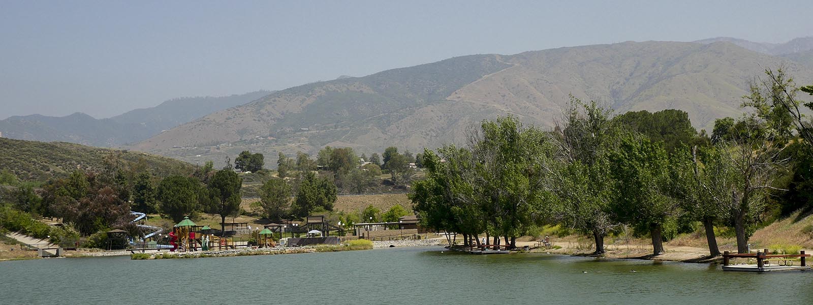
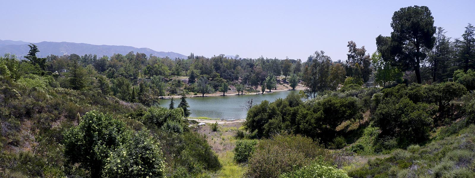
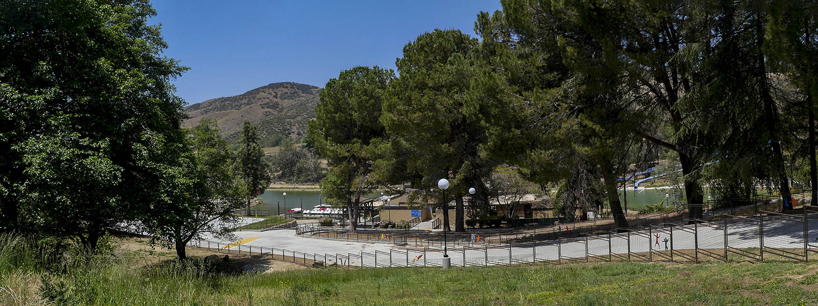
Yucaipa Regional Park
Length 3 miles | elevation 387feet | easy loop
The Yucaipa Regional Park hike starts from Oak Glen Road at the Zanja Peak T railhead. If you park here you do not have to pay the parking fee (there is also a pedestrian fee of $3.00 which no one has ever asked for us to pay. if you don't mind paying , you can start from inside the park.
The 3.3mile loop ( 381 ft elevation) combines trails and access roads in and out of the park. You will go by the 3 lakes , camping grounds, and day use areas. We usually hike on the near shore of the 1st lake then cross to the far shore of the 2nd lake. Just use the roads on the perimeter all the way around the park.. There are plenty of rest rooms along the route as well as picnic tables if you brought a lunch. During the summer months it can get crowded with swimmers using the water slide and beach.

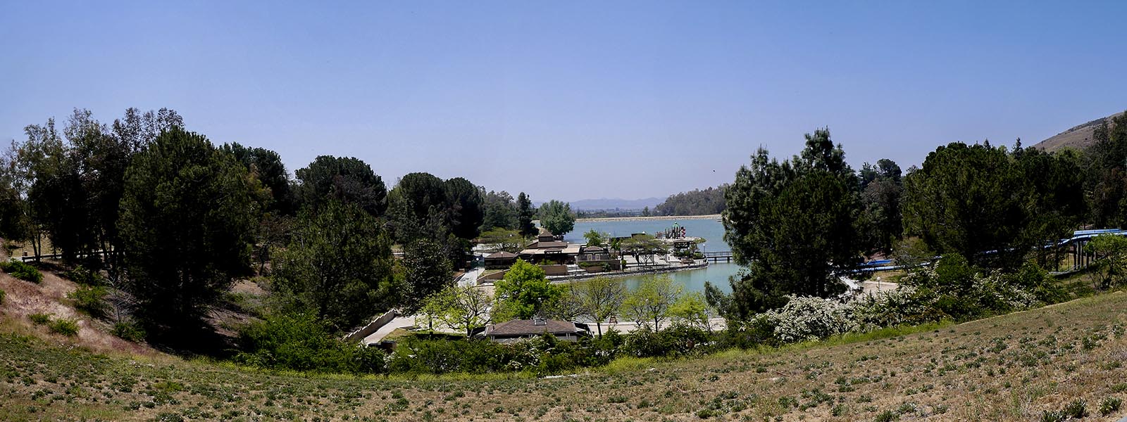
Click HERE for more images
Oak Glen Trail
Length 1.7 miles | elevation 177 feet | easy loop
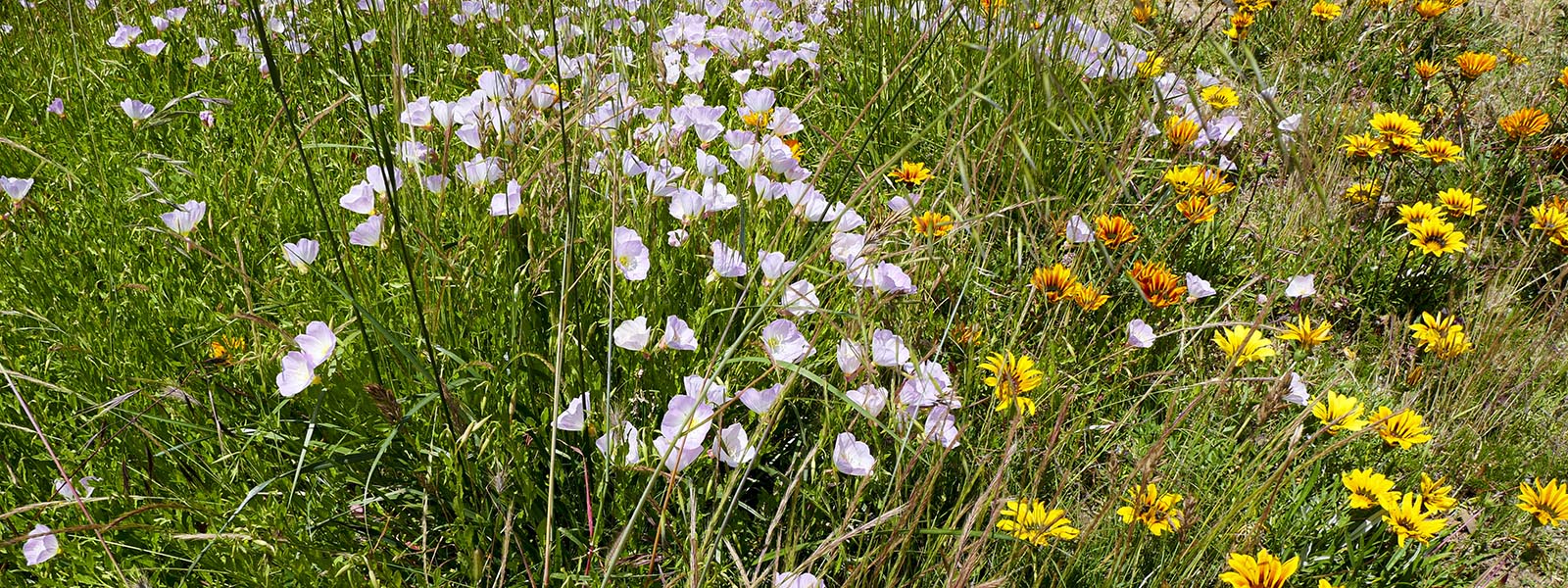
A nice park with camping, horseback riding and day use. There are many trails to use offering views of the surrounding area as well as deer & other animals. It is open year round but best in spring when flowers are blooming. Day use fee is $10.00. Check their website for more information or alltrails.com for trail maps & info.
the 2.1 mile trail we like to hike starts from the upper parking Lot. Follow trail on the left through the park until you see the Candlelight Trail Trailhead. Hike up to the top and take the dirt road back down . Hike through the park keeping an eye out for deer. Cross the road and take the trail next to it (Bogart Trail). Follow it up the the horse staging area and follow the road all the way back to the upper parking lot.
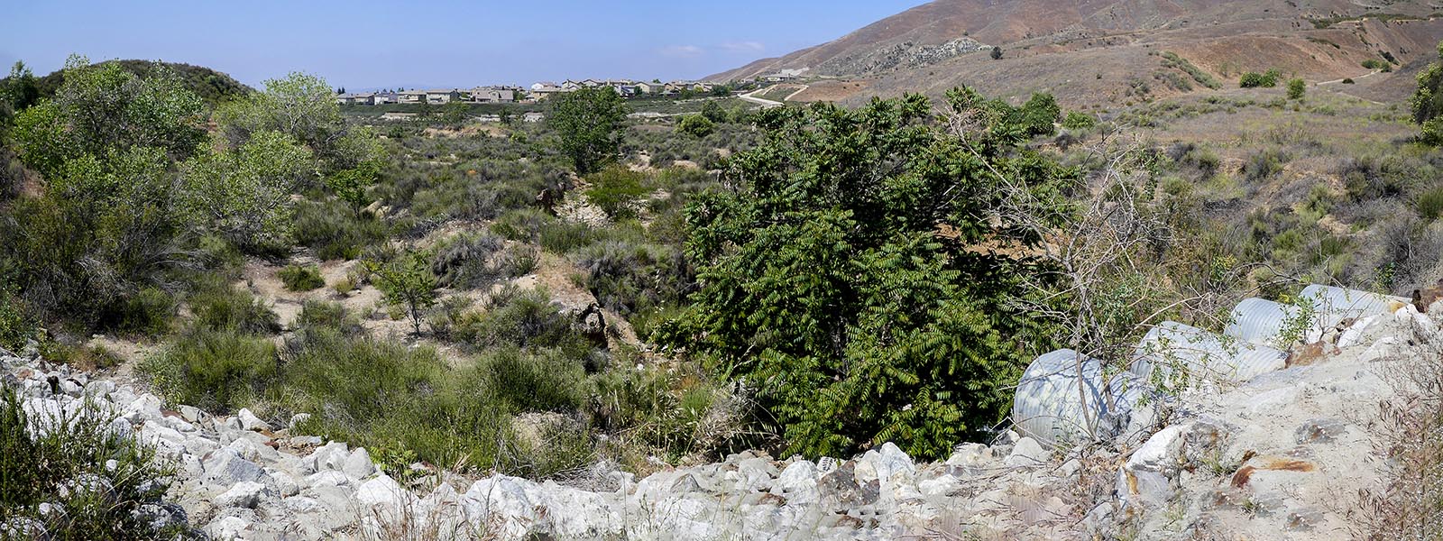
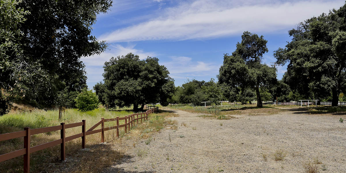
Zandja Peak Trail
Length 1.2 miles | elevation 68 feet | easy loop
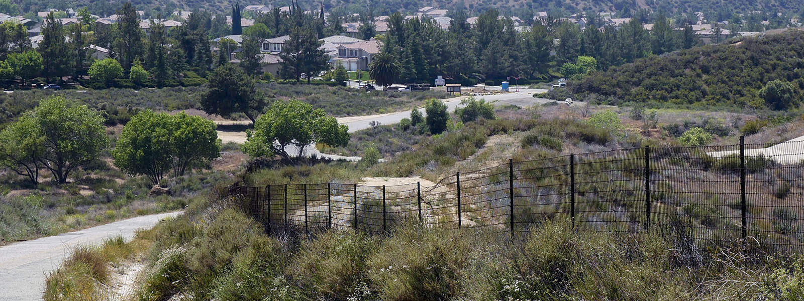
Wildwood Park is a city owned park in Yucaipa. The park offers trails, picnic tables , horse trail and a dog park.
You can hike the wash behind the park for about 1 mile in both directions and through the park for a total 2.4 mile hike. this is a good place to bring young children as there is a playground area and plenty of grass to run in. We always bring a lunch stop here to eat when we go hike at Wildwood Canyon State Park across the street.
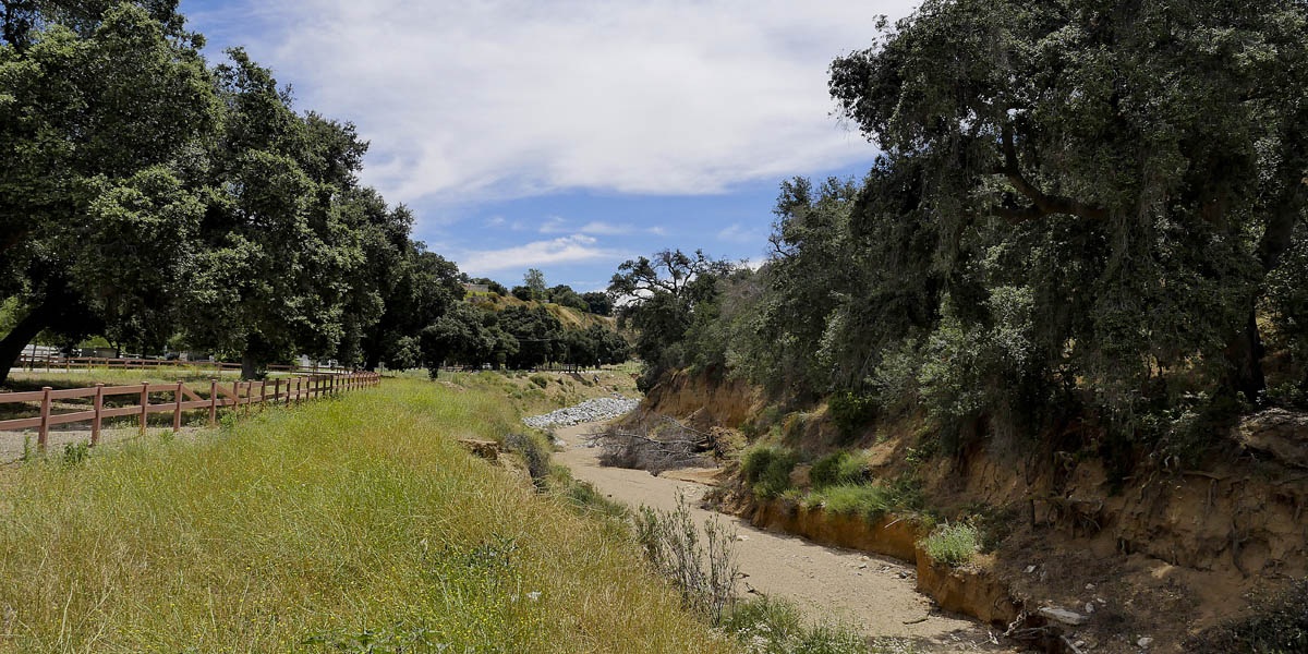
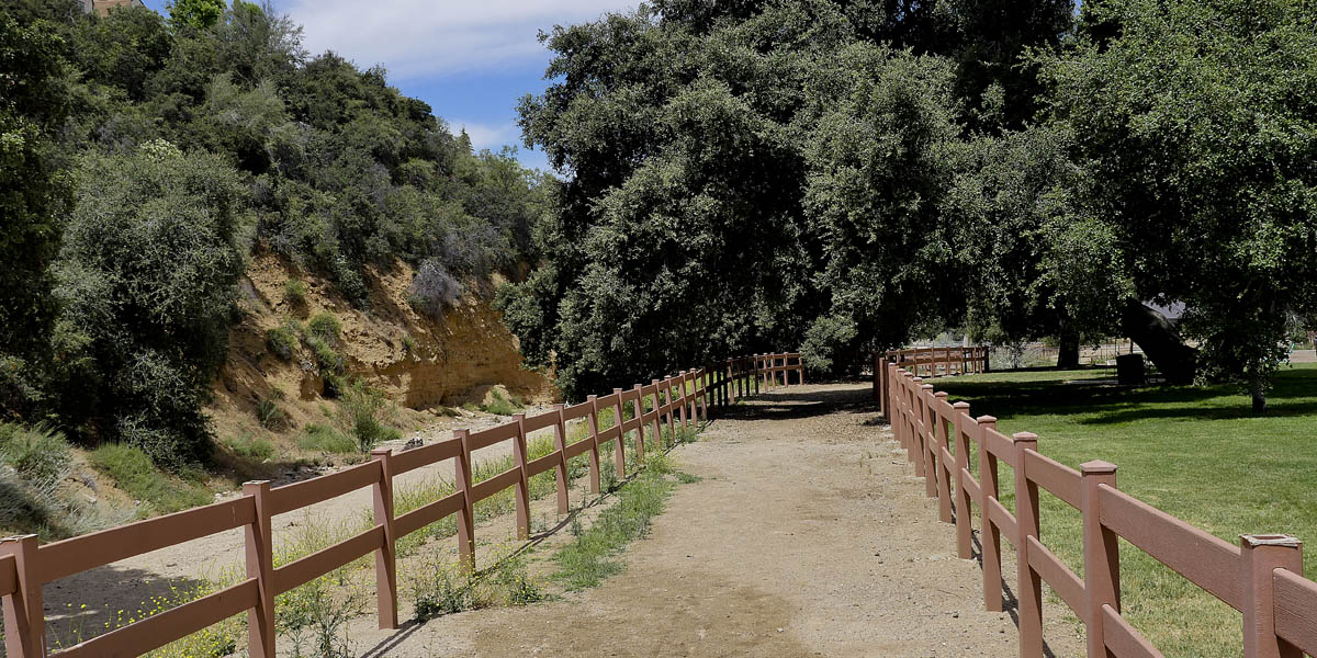
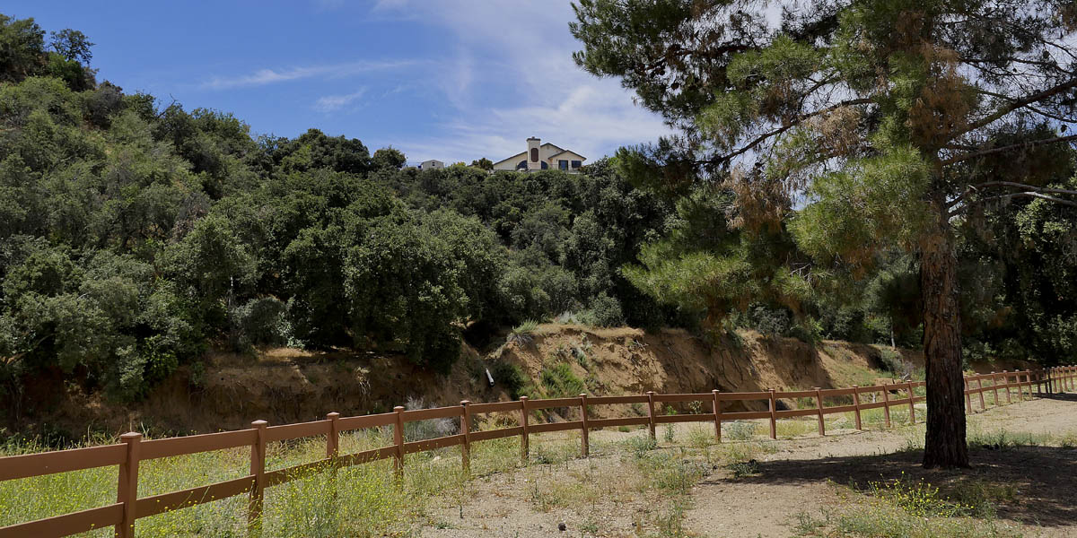
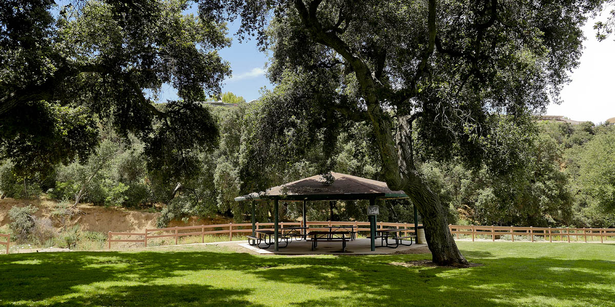
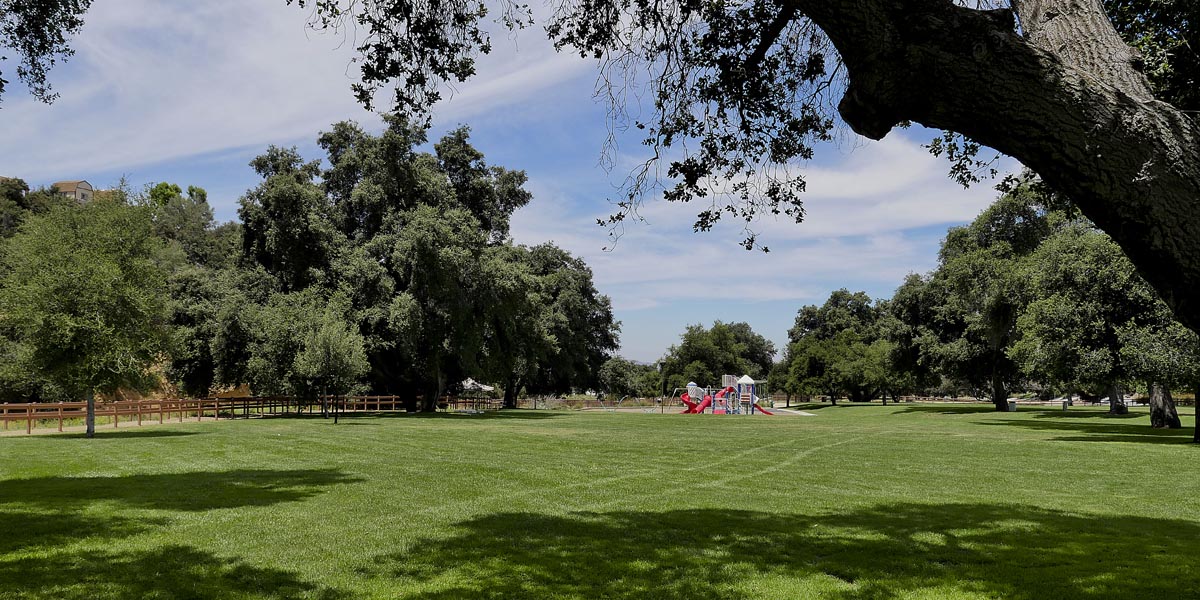
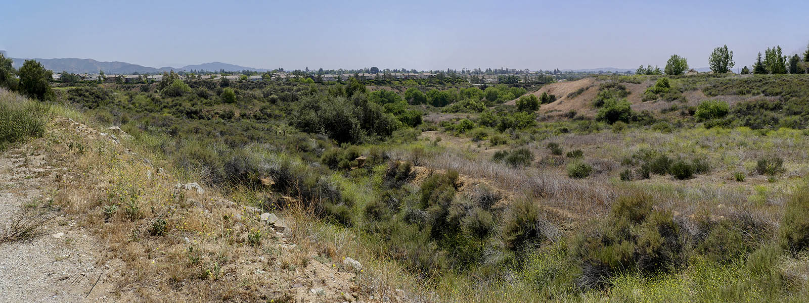
Wildwood Park
Length 2.1 miles | elevation 282 feet | out and back
Wildwood Park is a city owned park in Yucaipa. The park offers trails, picnic tables , horse trail and a dog park.
You can hike the wash behind the park for about 1 mile in both directions and through the park for a total 2.4 mile hike. this is a good place to bring young children as there is a playground area and plenty of grass to run in. We always bring a lunch stop here to eat when we go hike at Wildwood Canyon State Park across the street.