Hiking in Joshua Tree National Park

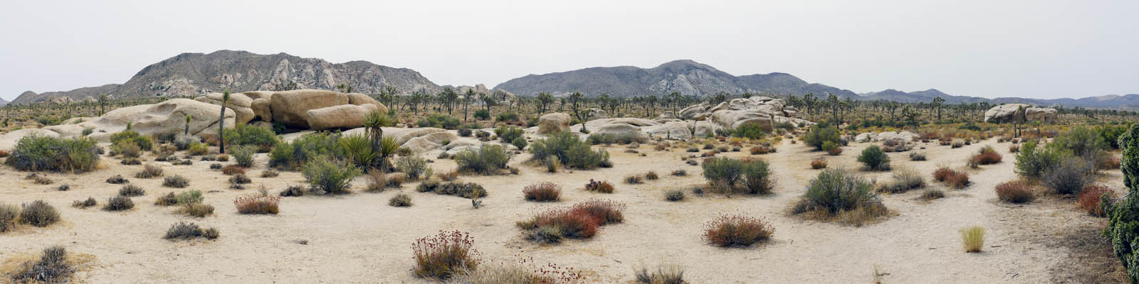
Joshua Tree National Park is a vast protected area in southern California. It's characterized by amazing rock formations and desert landscapes. Named for the region’s twisted, bristled Joshua trees, the park straddles the cactus-dotted Colorado Desert and the Mojave Desert, which is higher and cooler. Park Blvd is the main road connecting to all roads as it weaves its way through the park. Keys View will take you to vista point overlooking Cochella Valley. The Pinto Basin road will take you down to The south exit / entrance and cottonwood attractions. The three entrances are west (north) through Yucca Valley, east (north) through Twentynine Palms, and south off of Internet 10 (north of the Salton Sea). Distance from west entrance to south entrance is around 55 miles.
There are many hiking trails in Joshua Tree at different levels endurance and length. Most of the hikes we feature here are easy with elevation gains less than 800 feet and distance less than 5 miles. 2 exceptions to this are the Lost Palms Oasis Trail (1089 ft, 7.2 miles) and the Ryan Mountain Trail. (1089 ft., 3 miles). We have also included some areas with short trails (.2 miles) but plenty of interesting scenery. Use the menu to navigate the different Park areas. click on image links for more images. If you would like more hiking information All Trails links will take you to their website . All images are copyrighted by Ron lakin, unless noted.
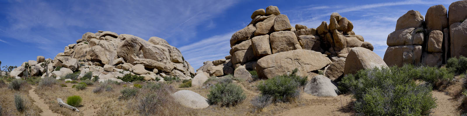
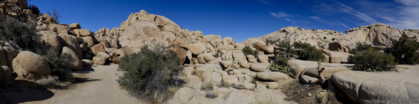
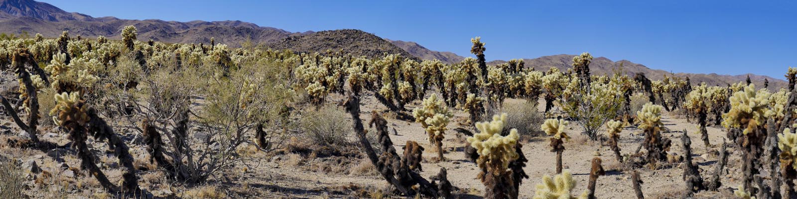
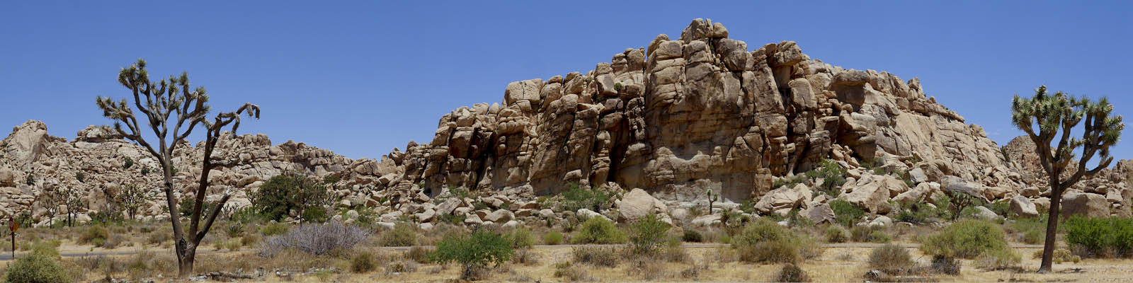
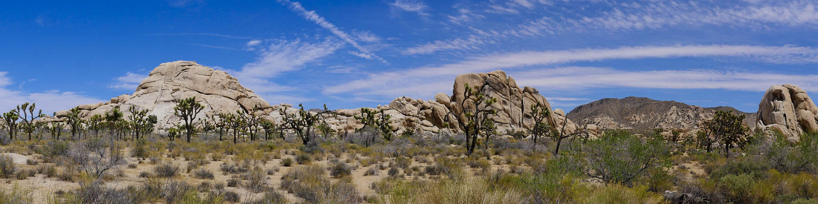
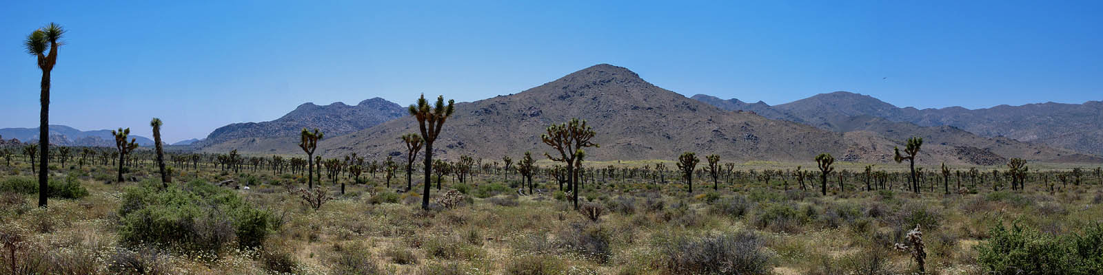
The areas are grouped around their main attraction.The Hidden Valley hikes are off of Park Blvd and include a couple smaller hikes, Hemmingway Butte and Woodland Valley Turnout. CapRock area is south of hidden valley on Park Blvd. Hikes include Ryan Mountain whis is one of 2 moderate hikes on this website because of its 1100 ft elevation. Next are the Skull Rock hikes in the Jumbo Rock area off of Park Blvd except the Arch Trail which is off of Pinto Basin Rd. You can follow pinto Basin Rd. all the way down the the Cottonwood area. Make sure to stop at the Cholla Cactus Garden on the way.
Best hikes in Joshua Tree National park
Here are our favorite Joshua Tree hikes. They range in length and difficulty but offer the best views and desert experience. of course all hikes are pretty good, so don't be limited to this list.
- Ryan Mountain - This is the hardest hike in the park but reaps the most reward. The panorama views from the top are incredible. Get here early and bring lots of water on warm days.
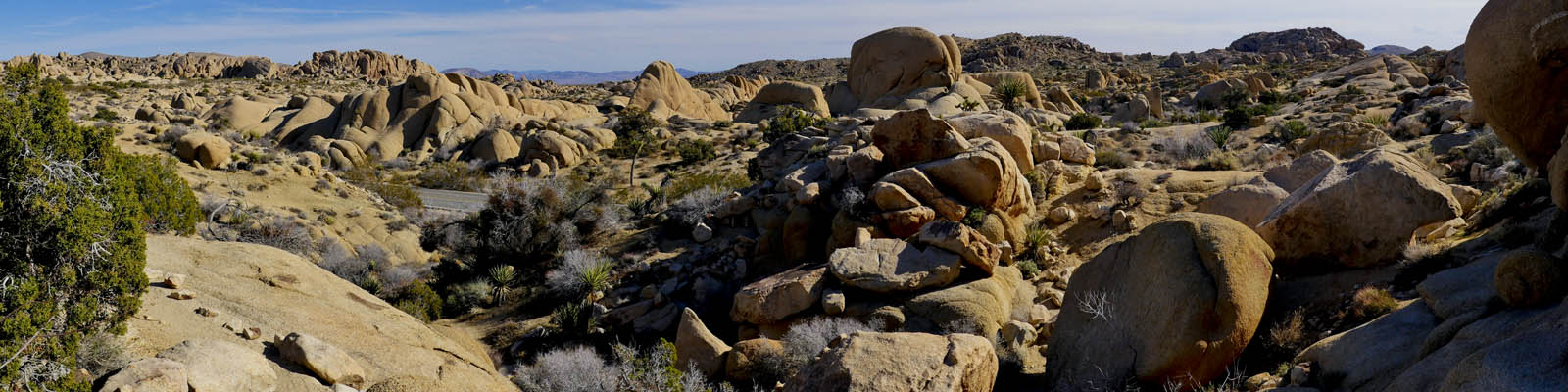
- Barker Dam Trail - An easy 1.3 mile loop through boulders and up to a dam. The pond may be full, or be a mud hole. Stop for petroglyphs on the way back.
- Hidden Valley Trail - This is an easy 1 mile loop that is very popular. Get here early
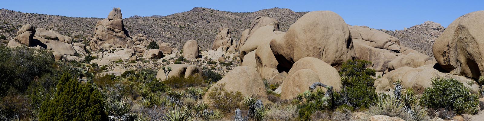
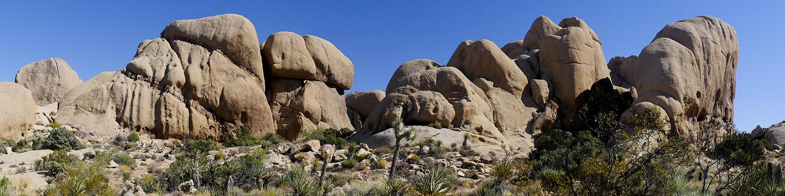
- Skull Rock Nature Trail - The 1.7 mile trail loop goes through the Jumbo Rock Campground and back acroos the street from Skull Rock. Lots of boulders and very popular.
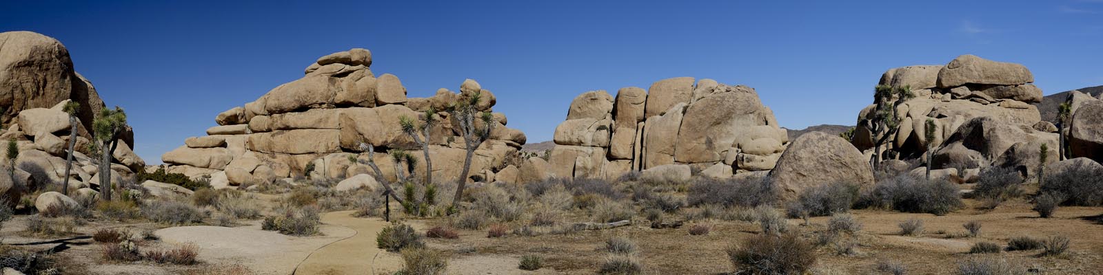
- Caprock / Gram Parsons Trail - Another easy, well marked trail that is heavily trafficked .
- Mastadon Peak Trail - is located in the southern area of the park. Great hike with best chance to see Big Horn sheep.
- Cholla Cactus Garden - 1/4 of a mile through hundreds of cholla cactus.
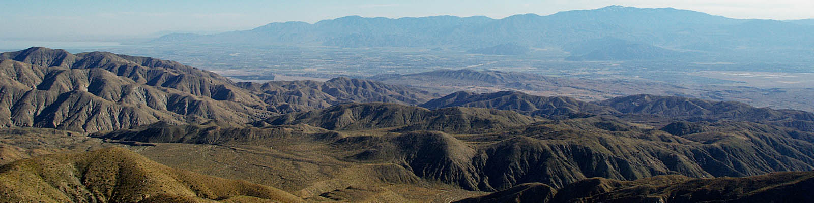
- Keys View - Short trail gives distant views of the area including the Salton Sea and surrounding mountains.
- Wall Street Mine - Nice hike to an old mine. Do it after visiting Barker Dam.
- Hall of Horrors - Hike takes you through 2 outcroppings of boulders. Popular mountain climbing spot.