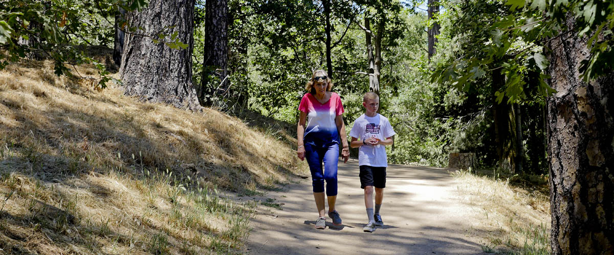
Ron & Jan's Favorite Day Hikes
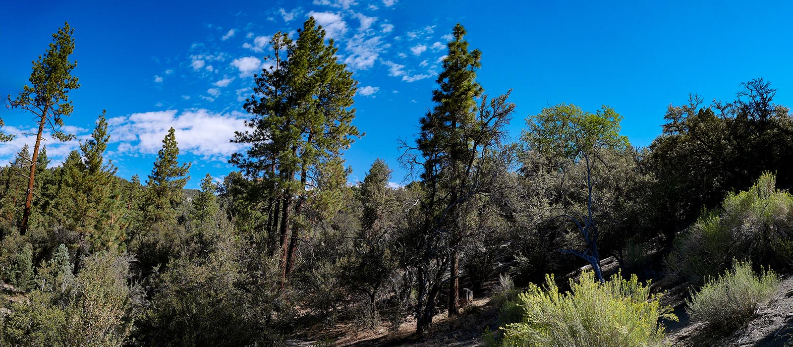
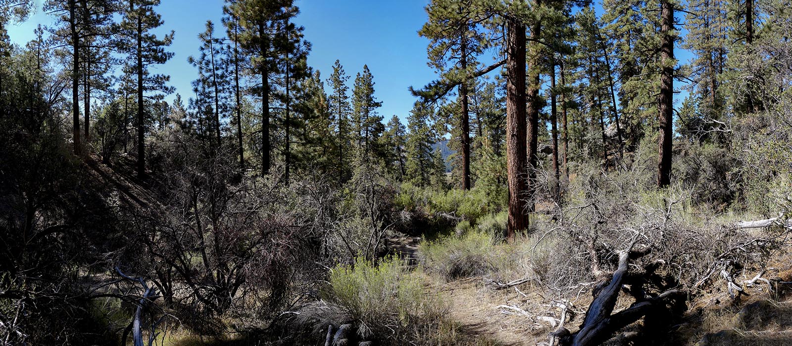
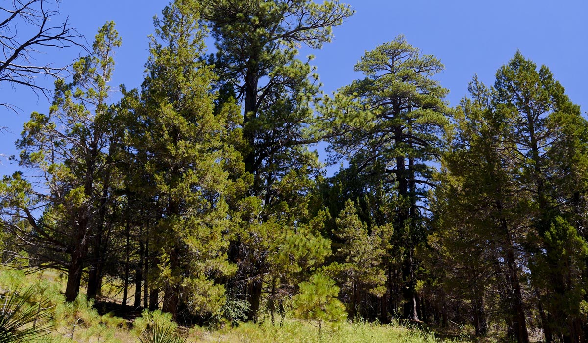
Mountain Hikes
San Jacinto and San Bernardino Mountains offer plenty of hiking trails. While most trails are considered hard to moderate we try to choose hikes that are not too long or strenuous. The trails range from .5 miles to 5.1 miles with elevations less than 330 feet. Most are well marked , level and clear of debris.
If you are looking for more challenging mountain hikes, try alltrails.com
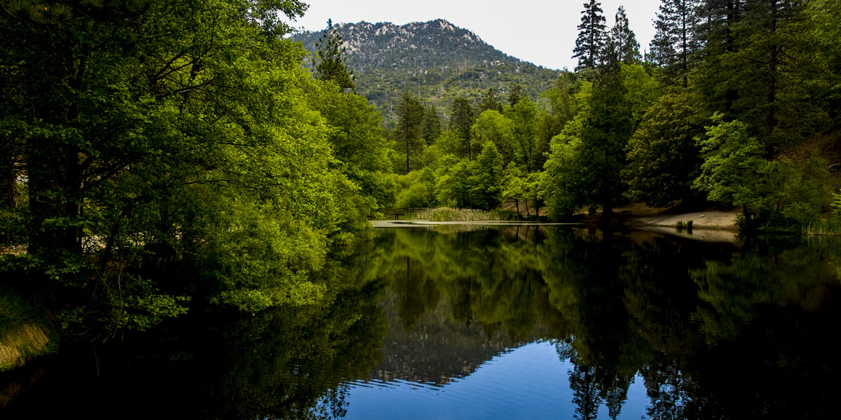
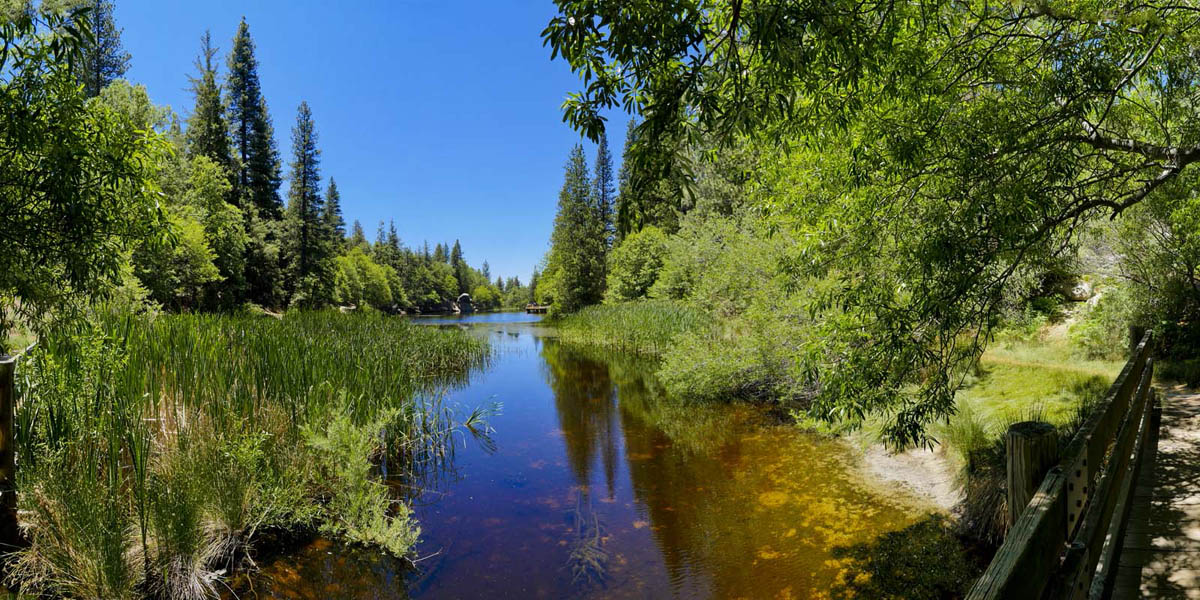
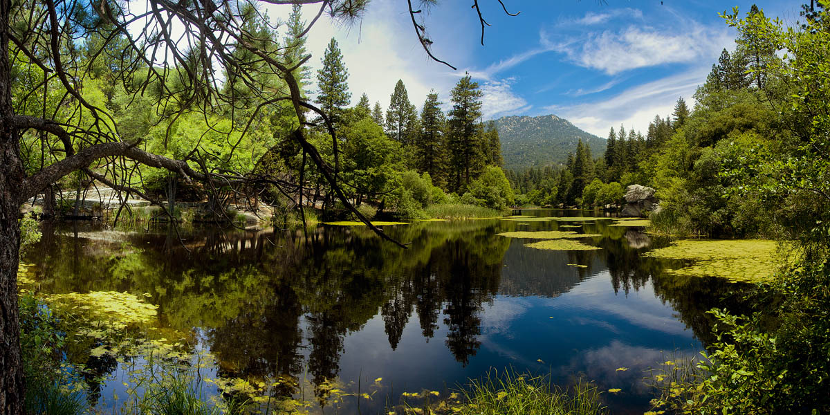
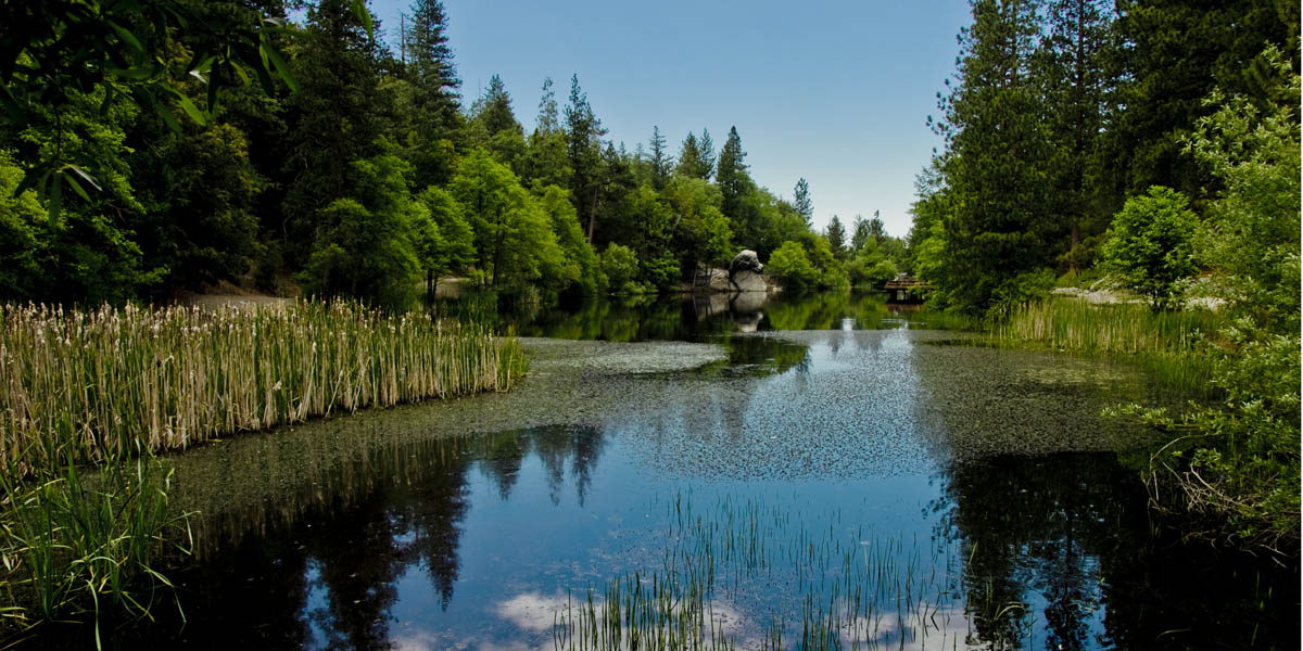
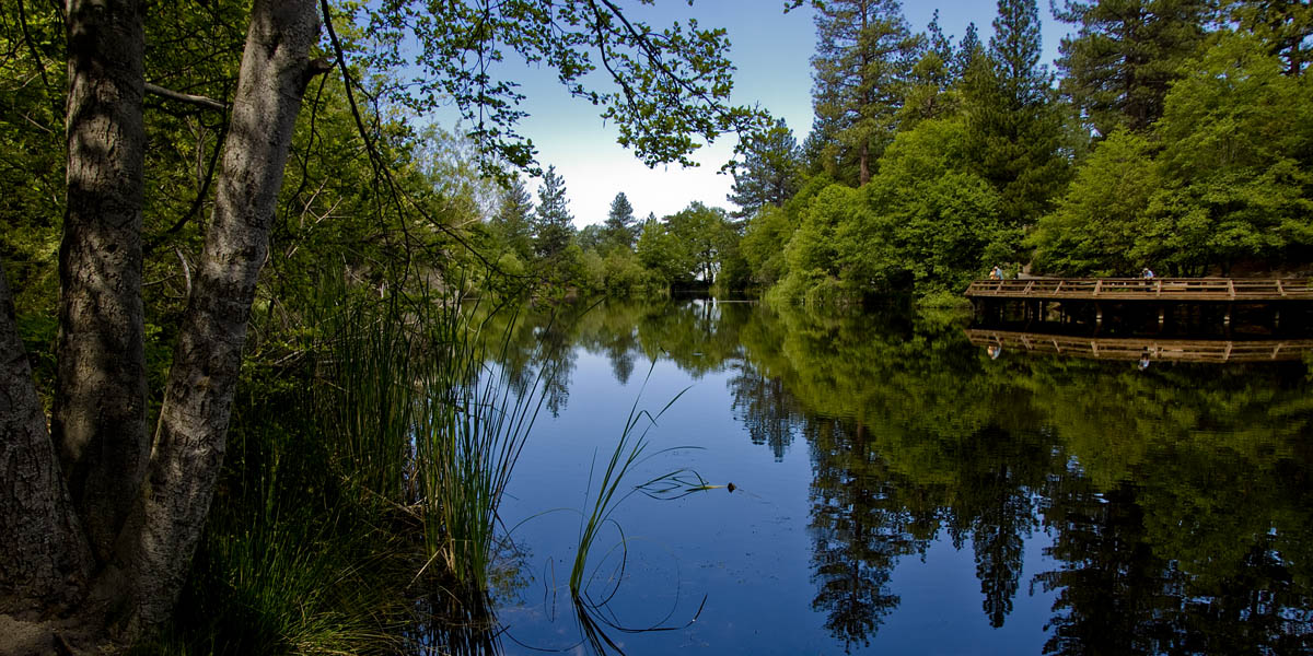
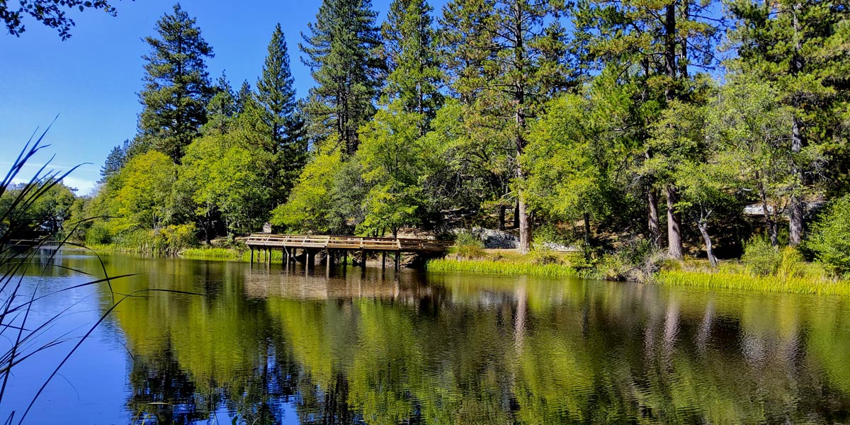
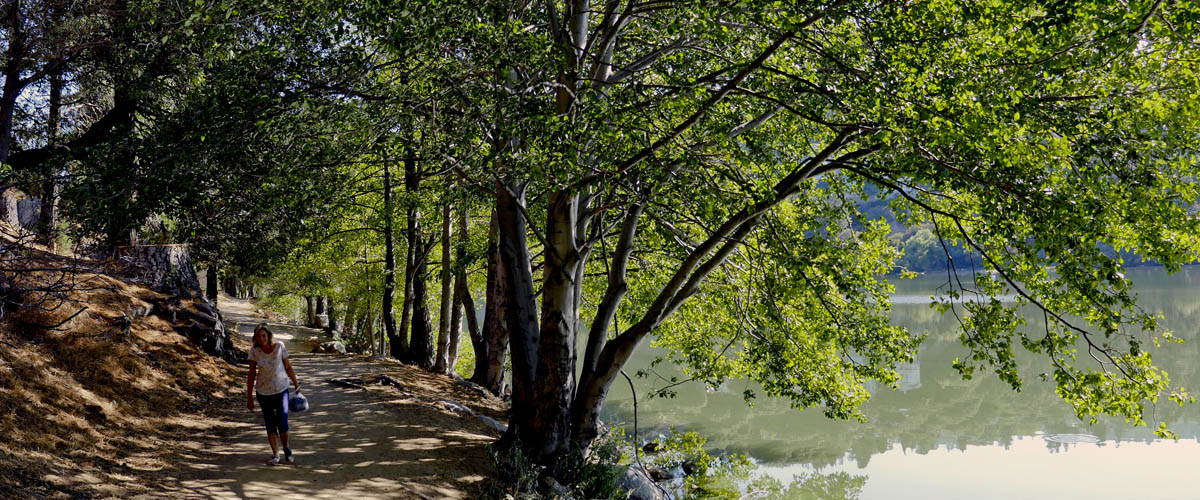
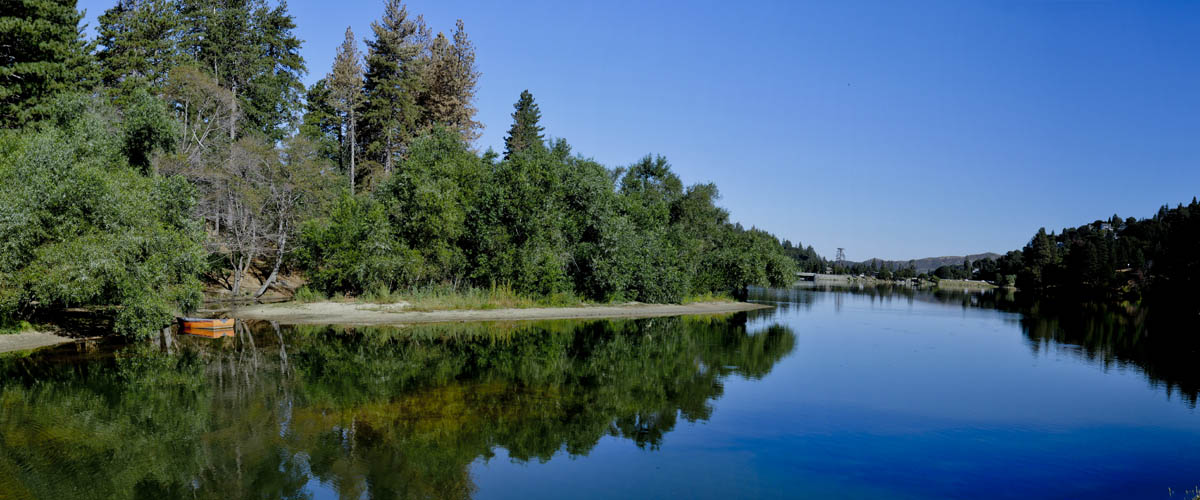
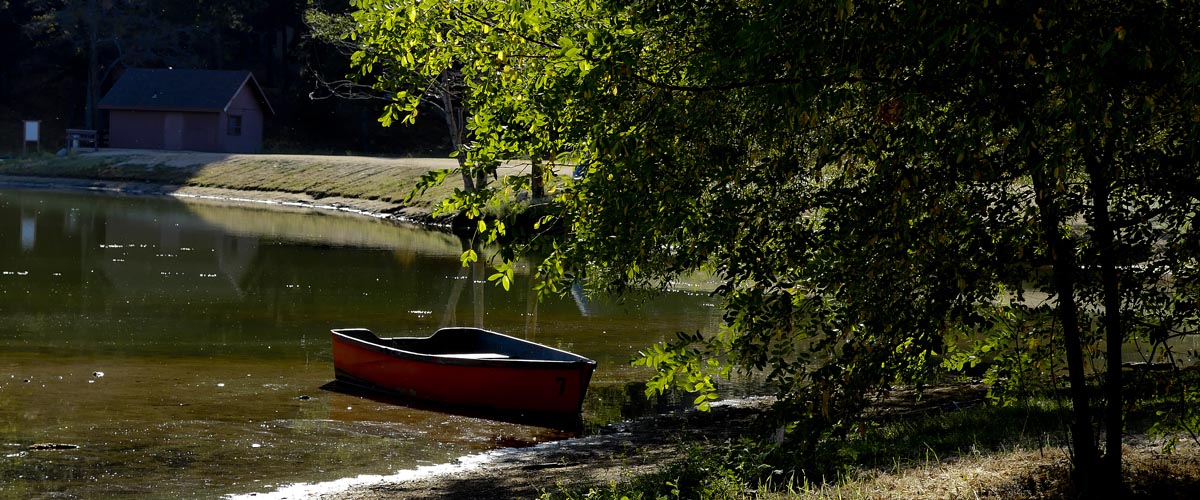
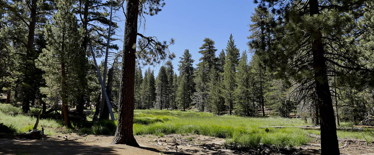
Lake Fulmore
Loop Trail around Lake
Length .5 miles | elevation 42 feet | easy loop
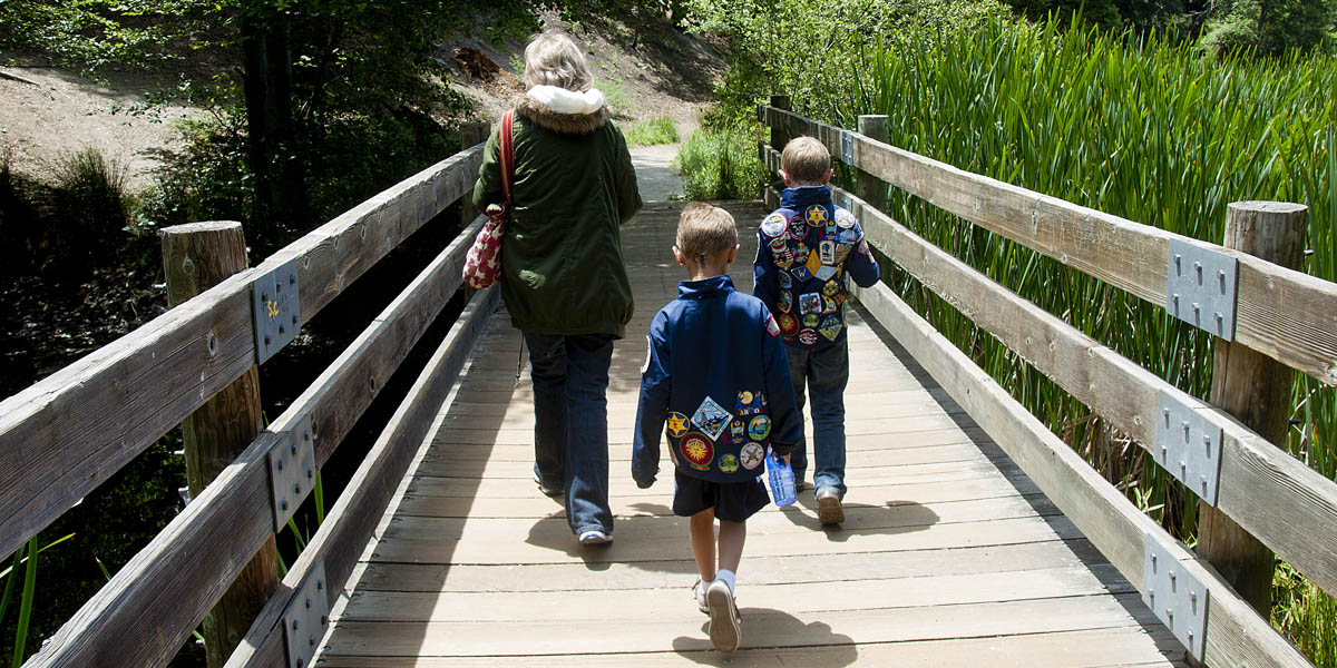
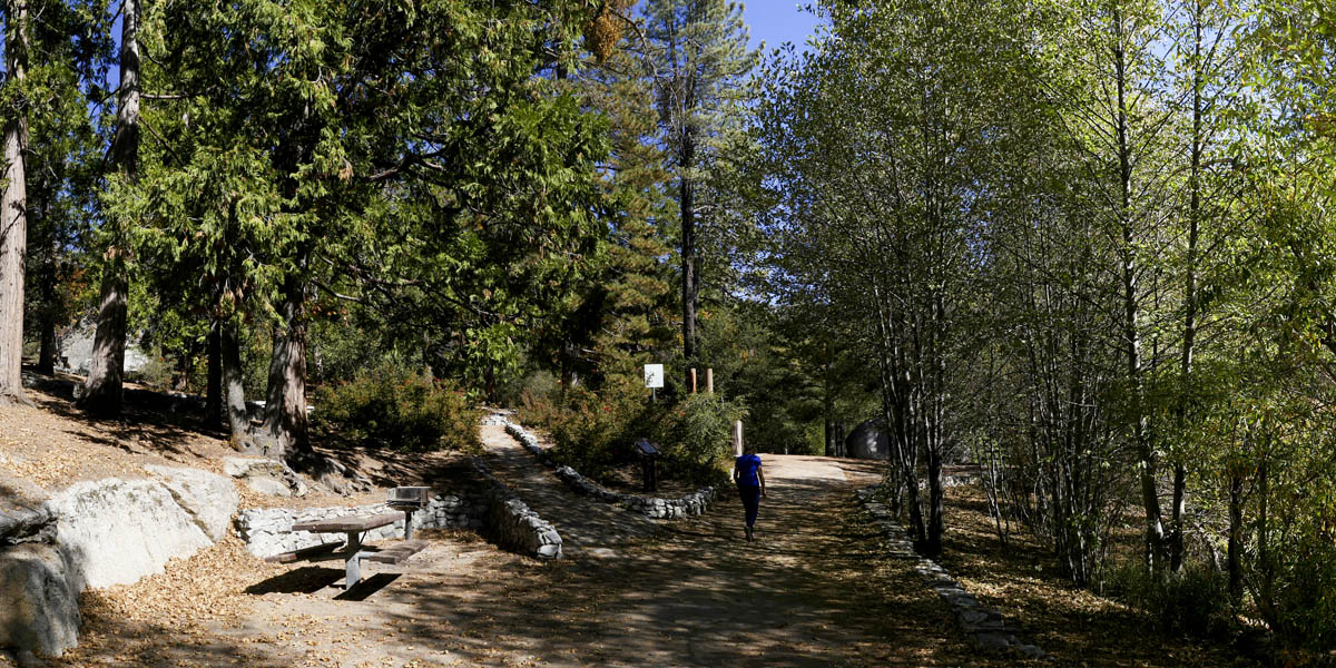
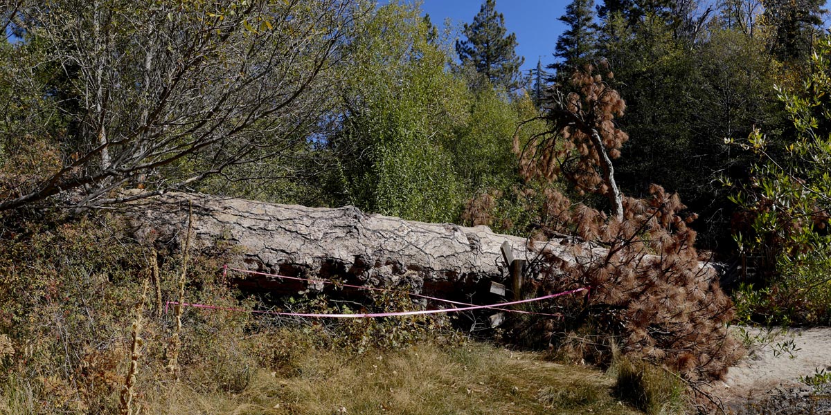
Lake Fulmor is a .5 mile loop trail located near Idyllwild-Pine Cove, Ca . The trail follows all the way around the lake. A huge tree fell and blocked the main trail but you can find alternate trail close to the shore. The lake is primarily used for hiking, picnicing, and fishing ( accessible year-round). We usually walk 2-3 times around the lake to get 1 - 1.5 miles hiked.
You do need a wilderness pass to park. You can purchase one in Banning or at the ranger station in Idyllwild. There are rest rooms on both sides of the lake. For more information check their website.
For All Trails Map and guide click here


For more images click here
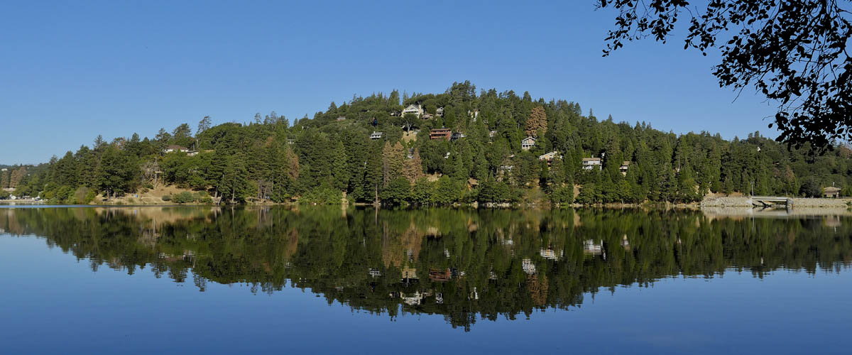
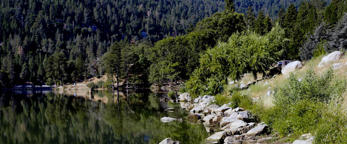
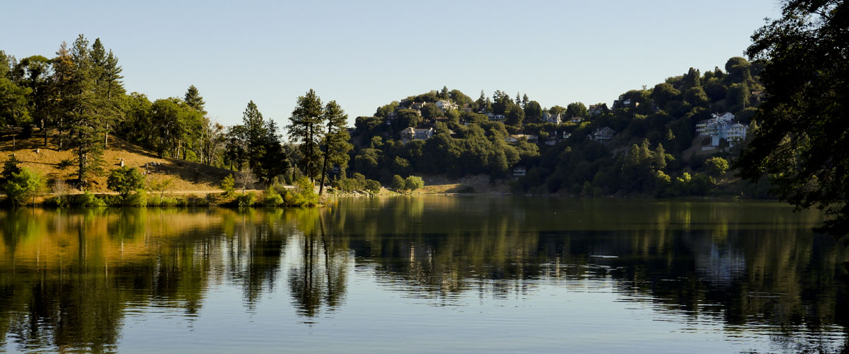
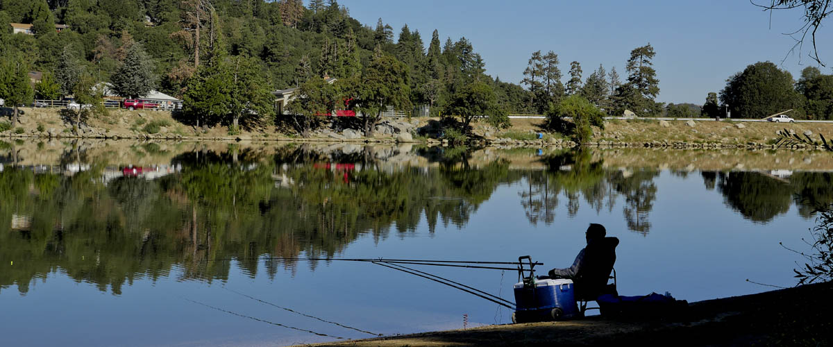
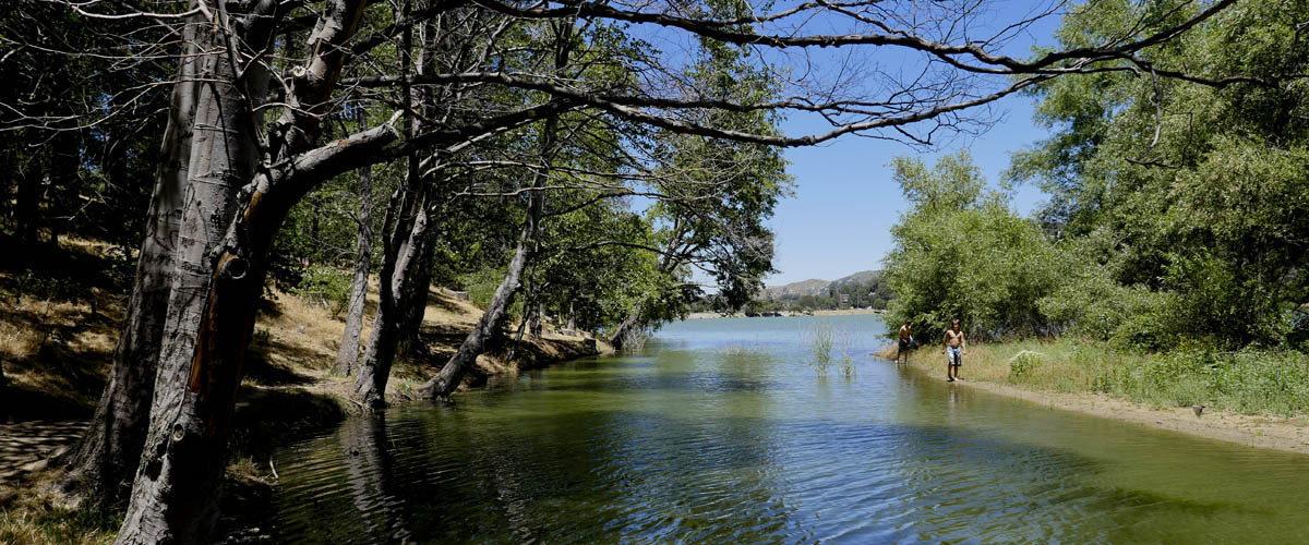
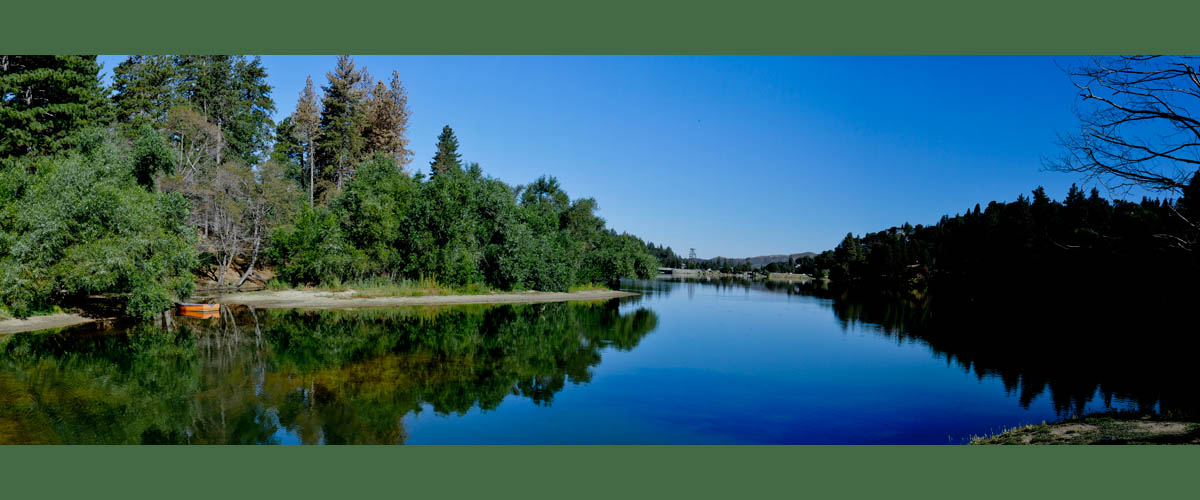
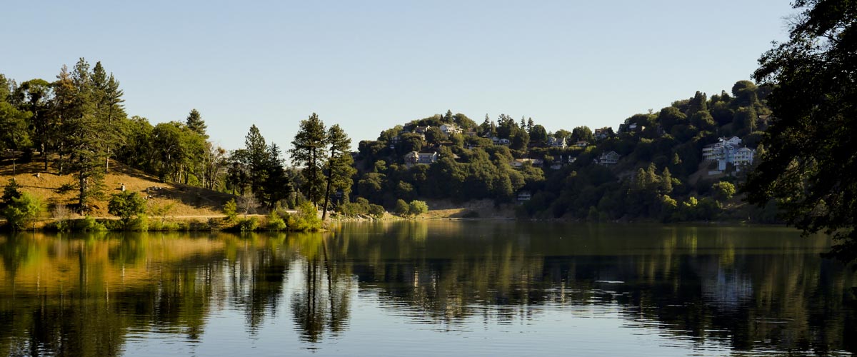
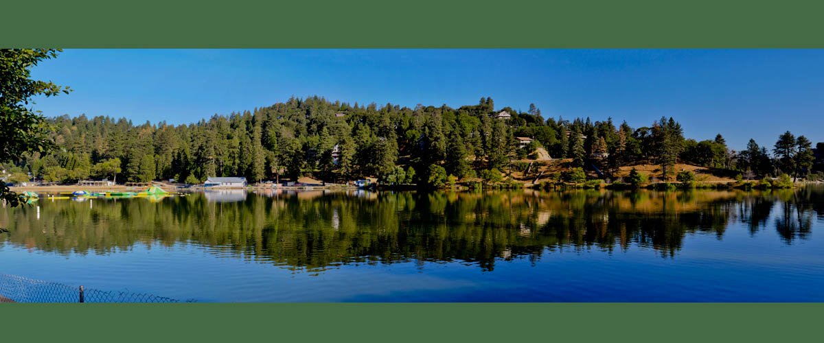
Lake Gregory
Lake Nature Hike
Length 2.3 miles | elevation 59 feet | easy loop
Lake Gregory Trail is a 2.3 mile loop trail with an elevation of 59 feet located near Crestline, Ca. The easy, mostly flat trail, takes you all of the way around the lake, hugging the shoreline most of the time. Lots of scenic views, trees, and birds.
Lake gregory offers summer activities with a water slide, paddle boards, boats and more. Parking Fee is $10.00 (handicap free). Restrooms available. For more information check their website.
For All Trails Map and guide click here
For more images click here
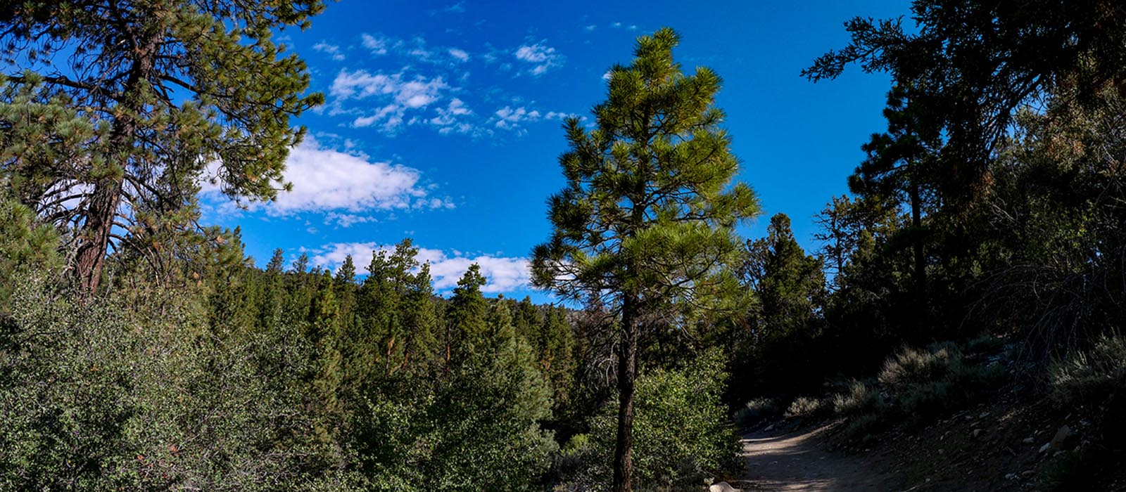
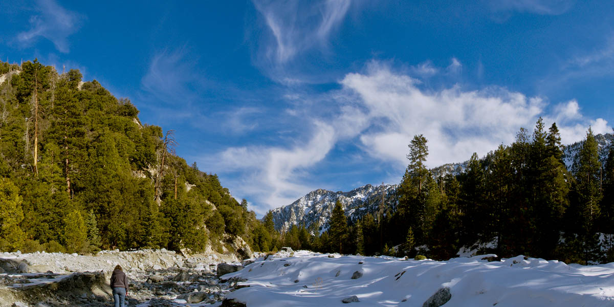
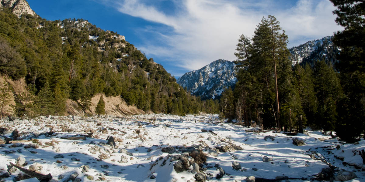
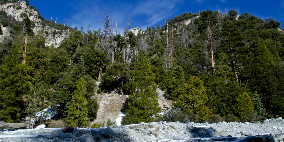
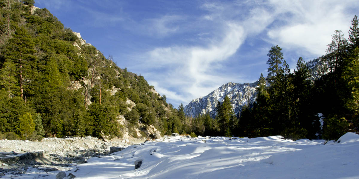
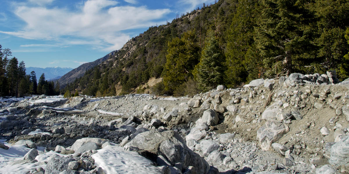
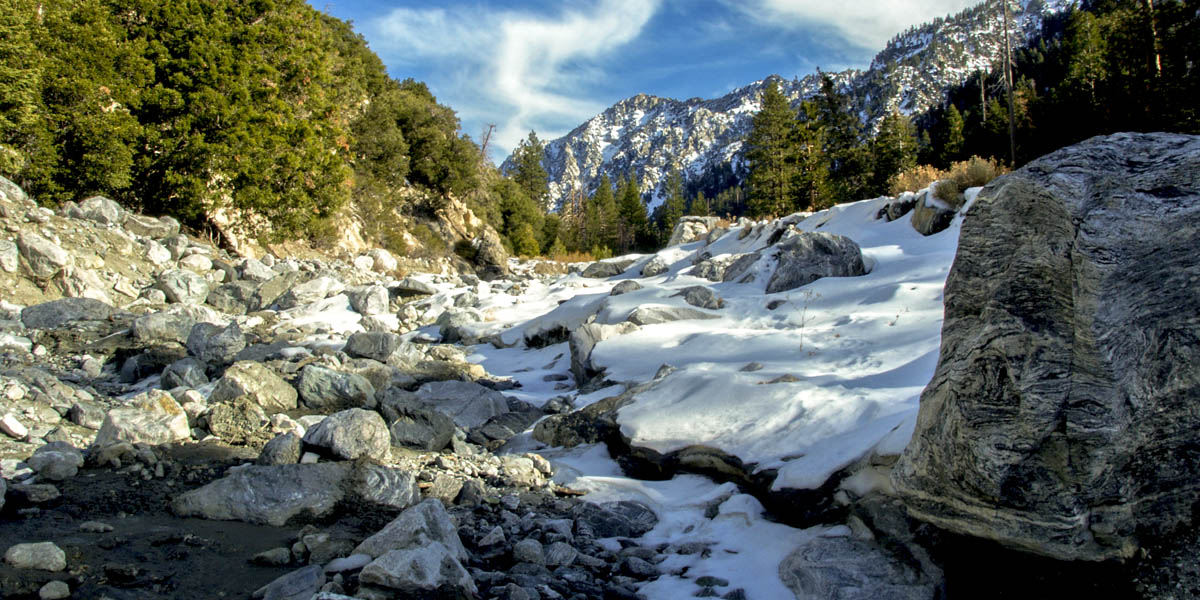
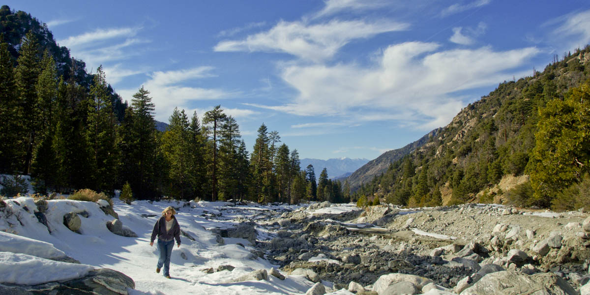
Forest Falls
Big Falls Trail
Length .8 miles | elevation 216 feet | out and back
Forest Falls offers both hard and easy hikes. The most popular is the .8 mile, 216 feet elevation hike to a beautiful waterfall. this is an easy hike with a small incline. Stay on trail as many injurys and death have occured off trail. No hiking above the waterfall permitted.
You need a wilderness pass for parking. There are no restrooms.
For All Trails Map and guide click here
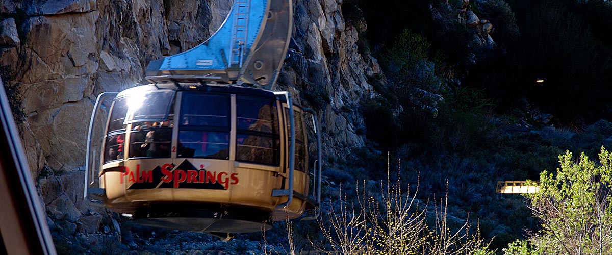
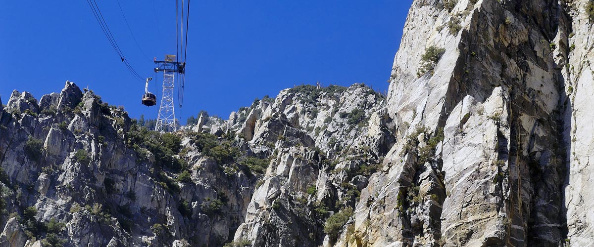
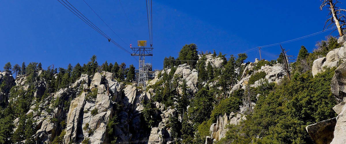
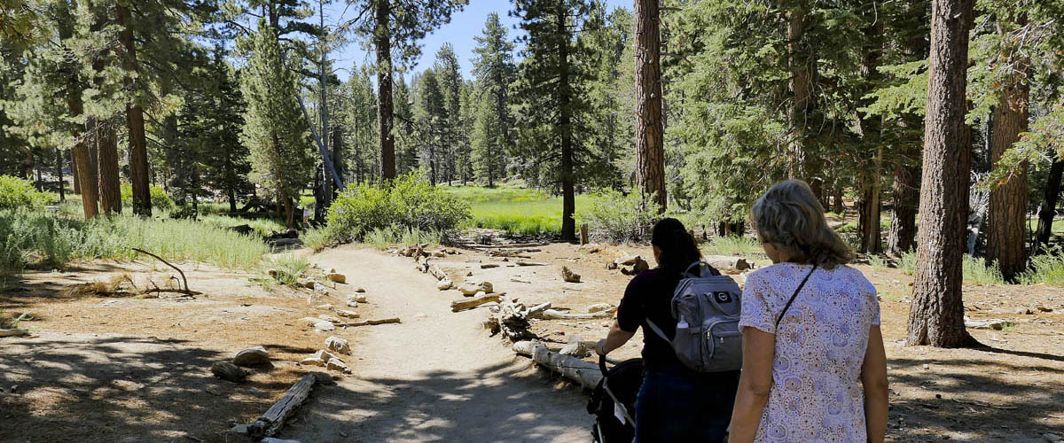
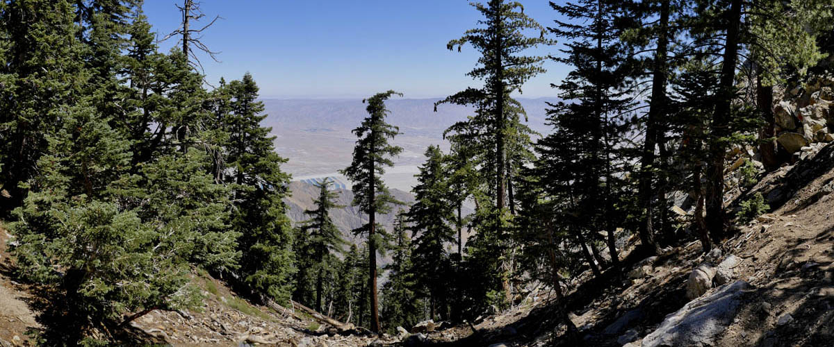
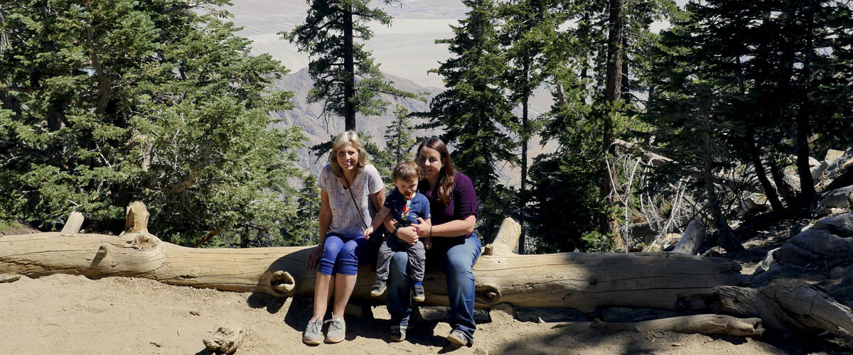
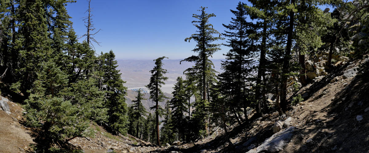
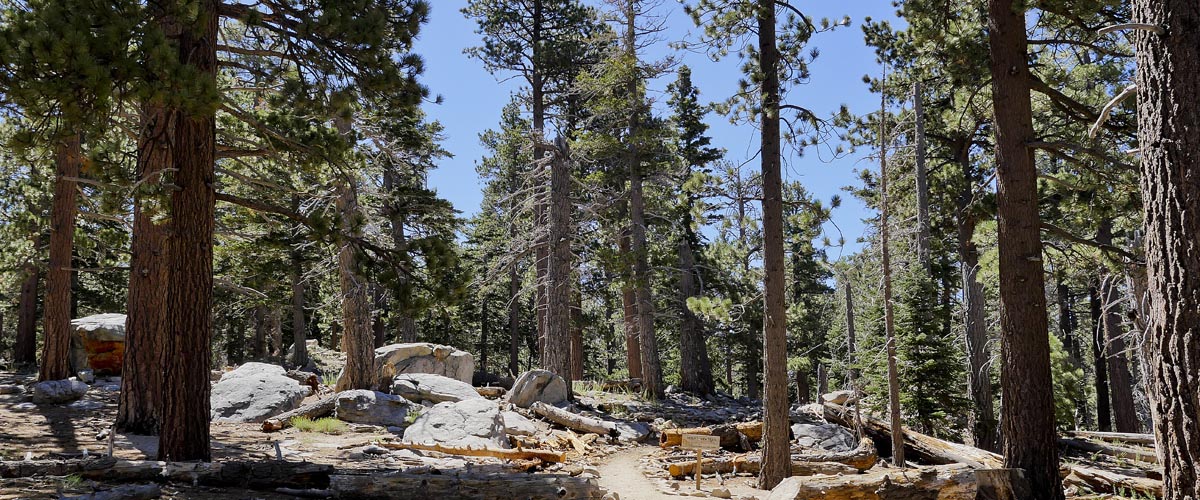
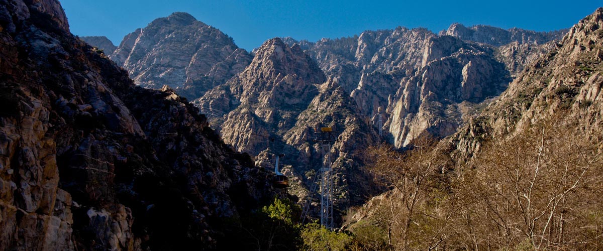
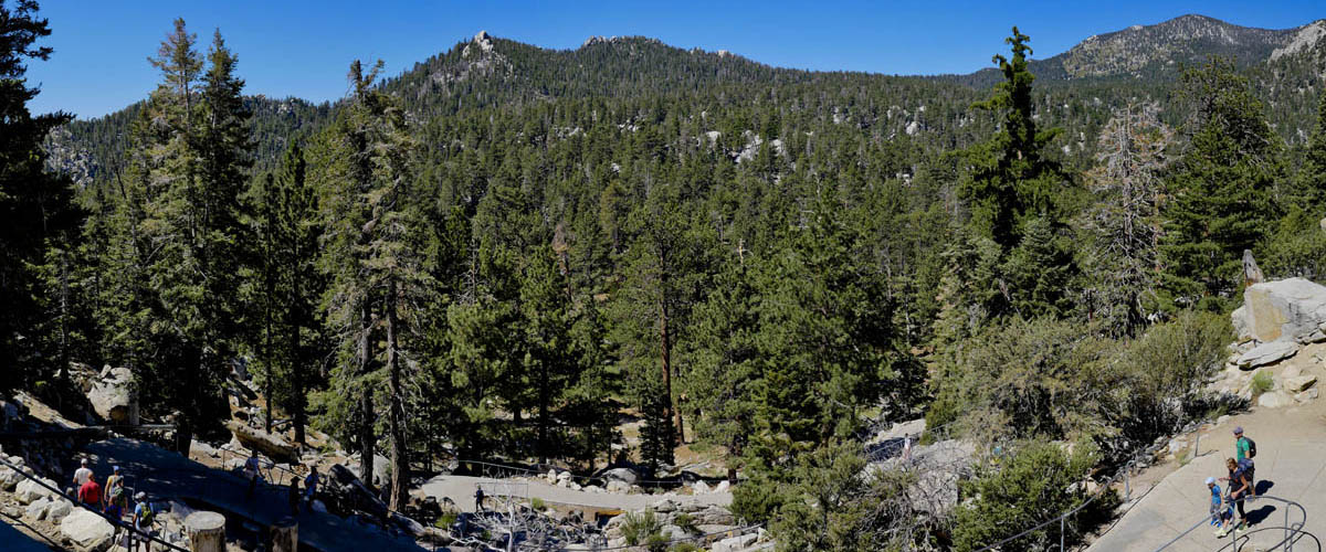
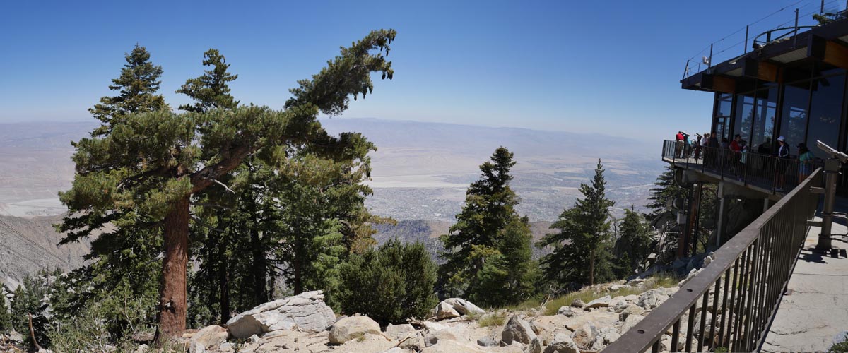
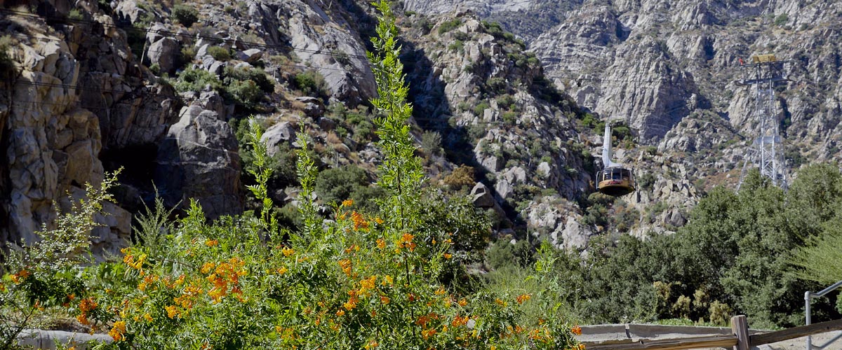
Palm Springs Aerial Tramway
Desert View Hike
Length 1.5 miles | elevation 311 feet | easy loop
For All Trails Map and guide click here
This hike starts at the top of the Palm Springs Aerial Tramway. Once you are off the gondala head outside and take the concrete path to the forest floor. Follow the path to the left. the trail takes you through meadows, forests and to the edge of the mountain for spetacular panarama views.
Once back on top stop by one of the restaurants or gift shops. Check the Tramway's website for pricing and hours.
For more images click here
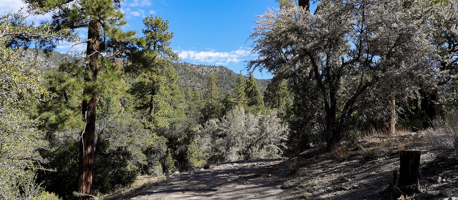
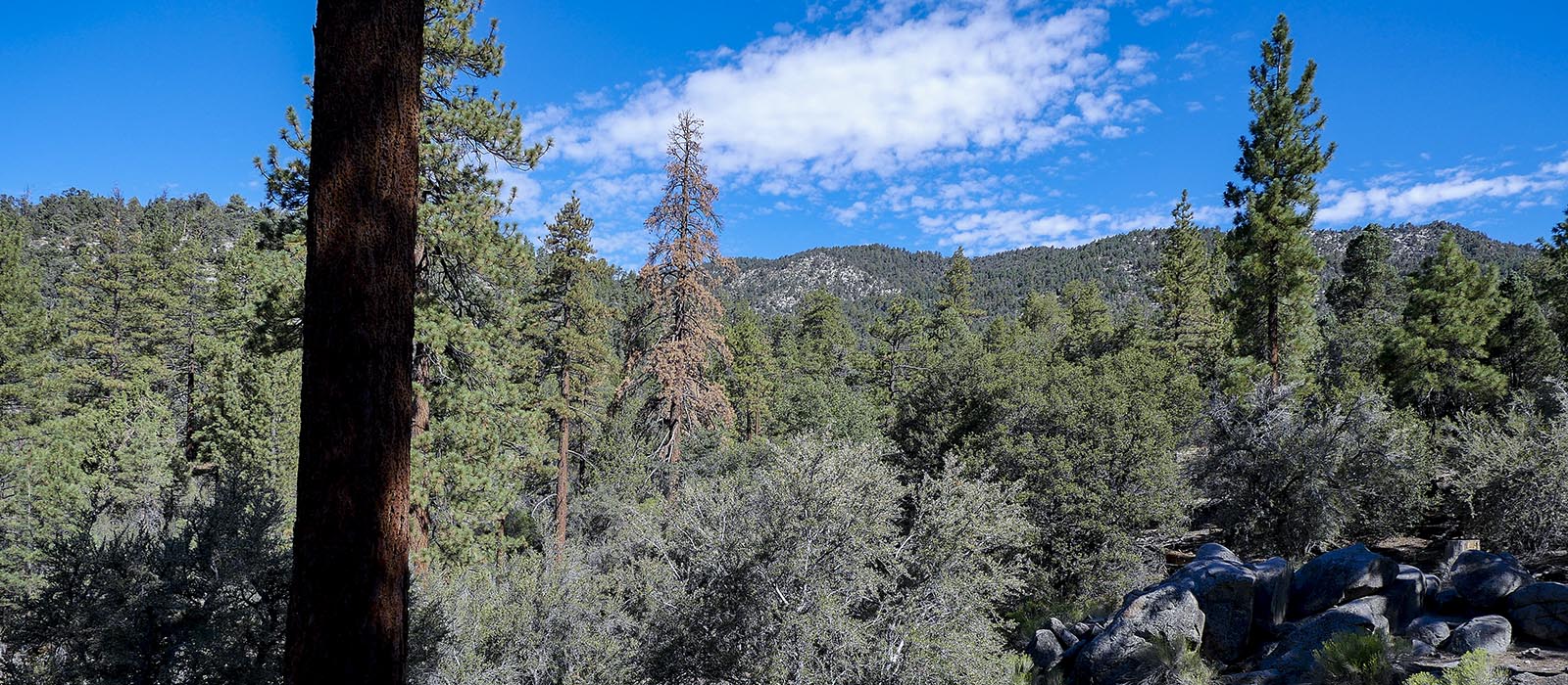
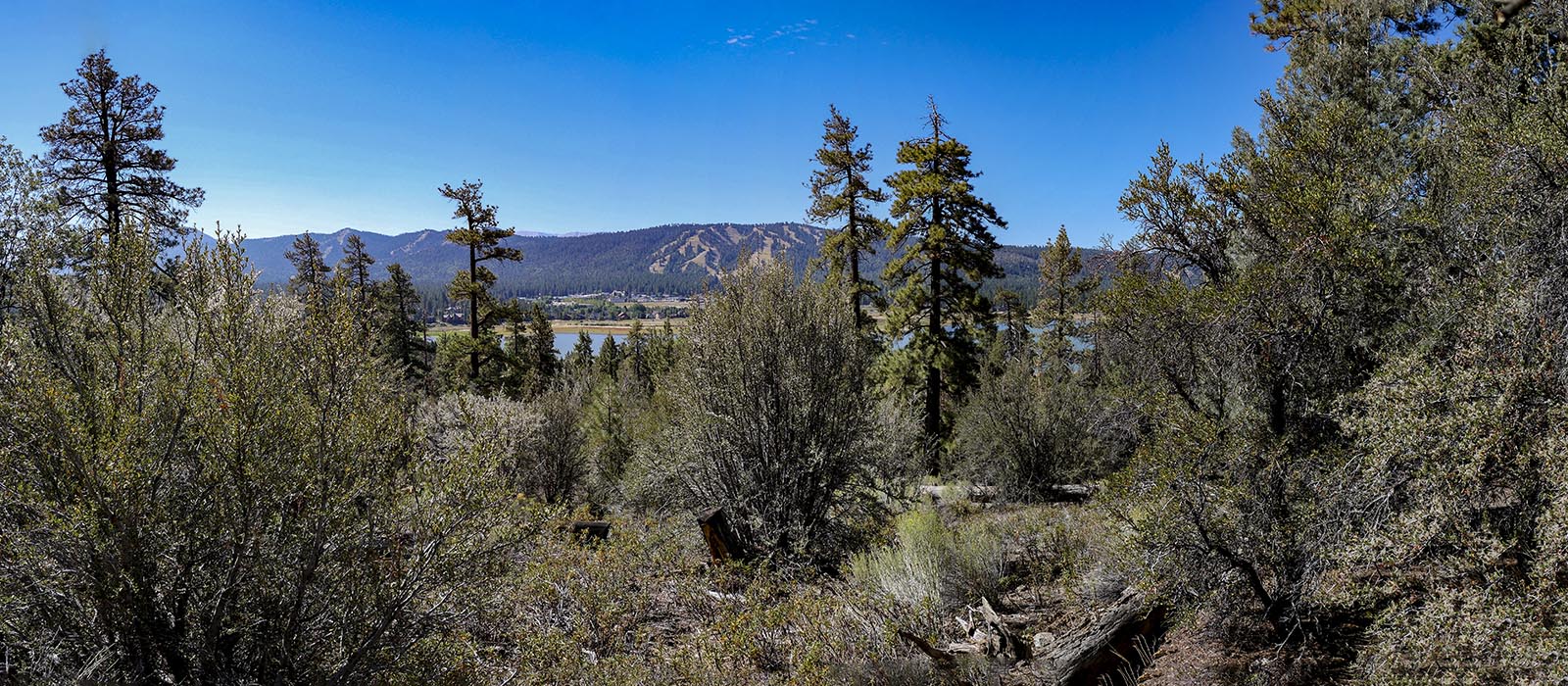
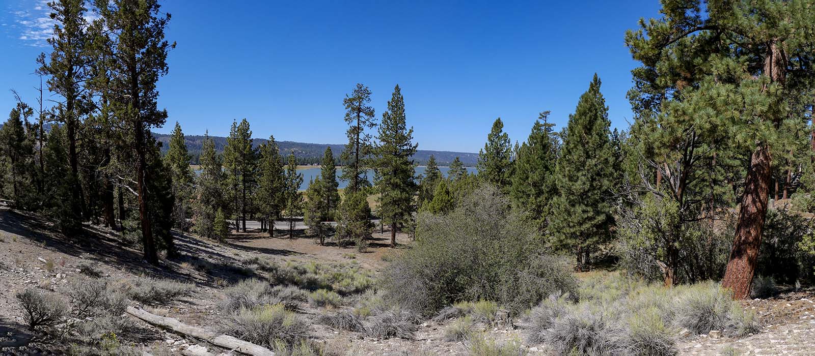
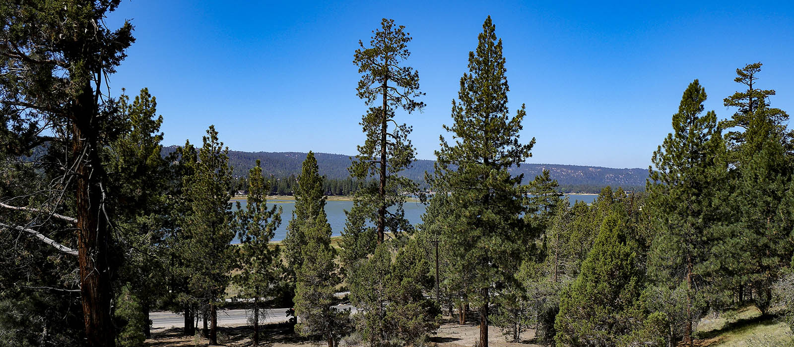
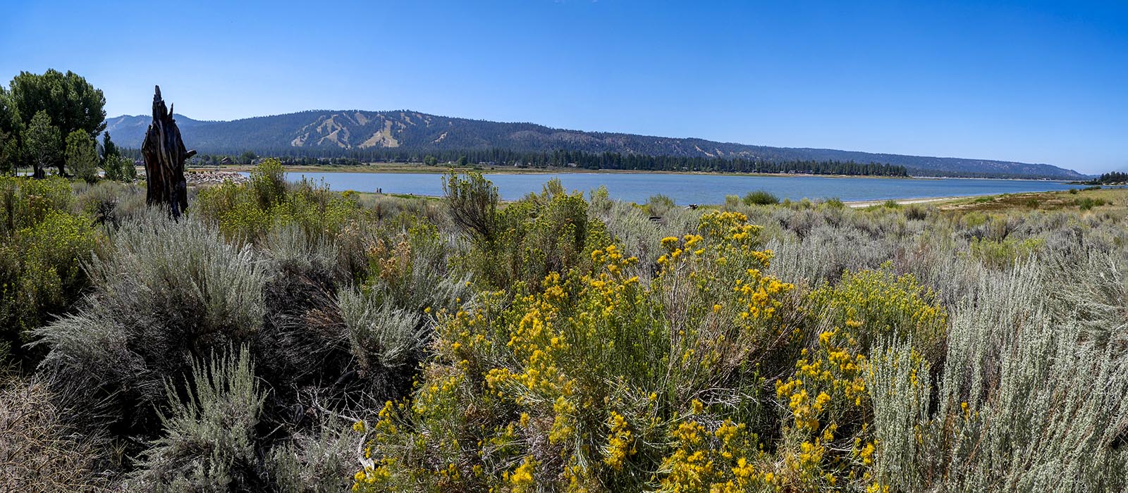
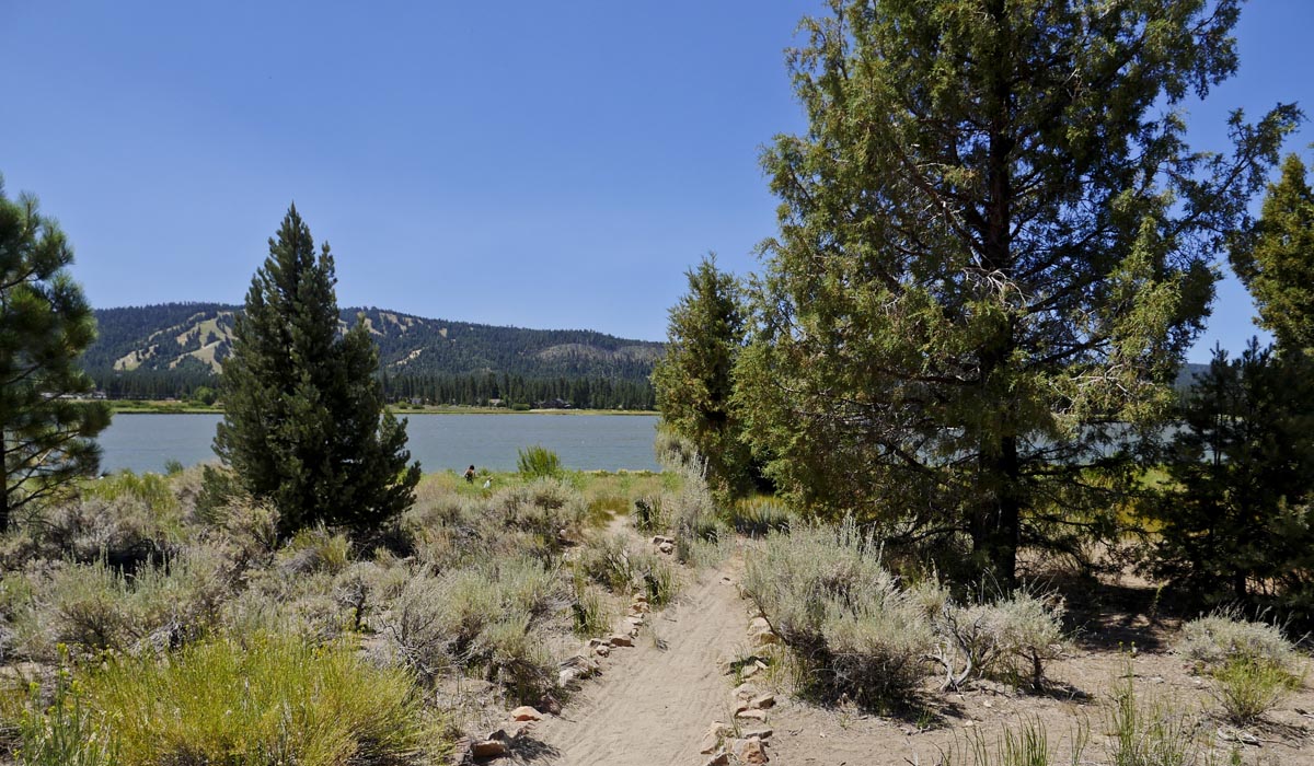
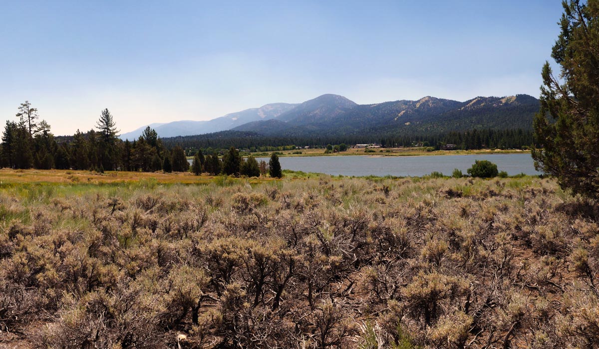
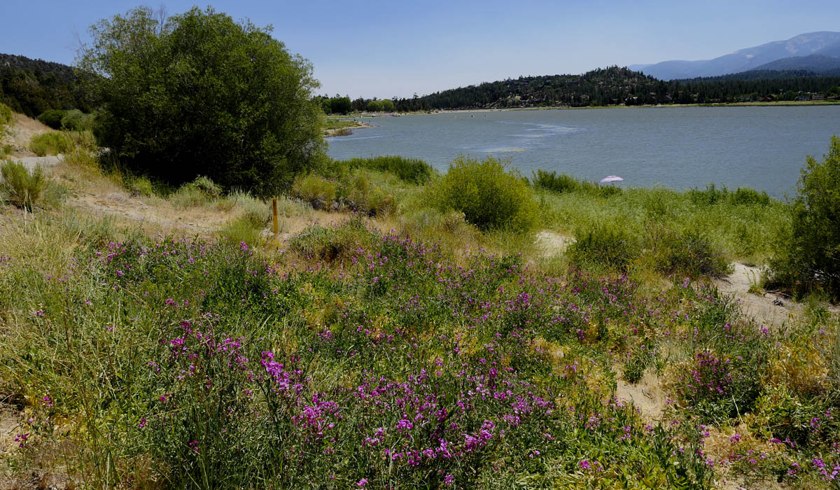
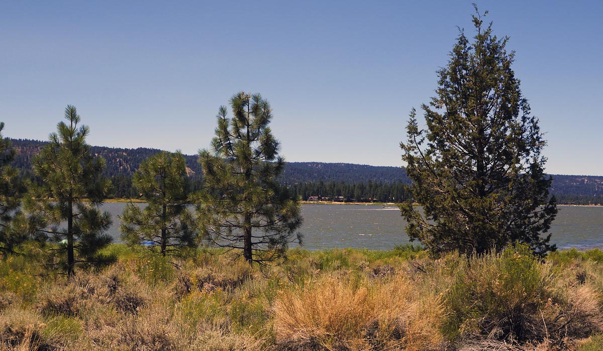
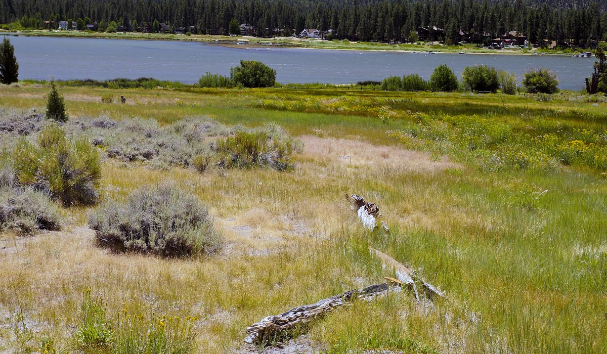
Big Bear
Alpine Pedal Path
Length 5.1 miles | elevation 278 feet | out and back
Alpine Pedal Path is a 5.1 mile heavily trafficked out and back trail located near Big Bear Lake. This trail follows the lake from north east cutoff heading west for 2.5 miles (5 miles round trip). Nice views of the lake and surroundings. Be alert this is a heavily trafficked path with lots of bicyclists .
You can find places to park along the road and at both ends.
For All Trails Map and guide click here
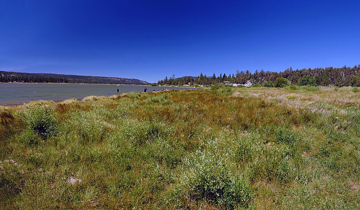
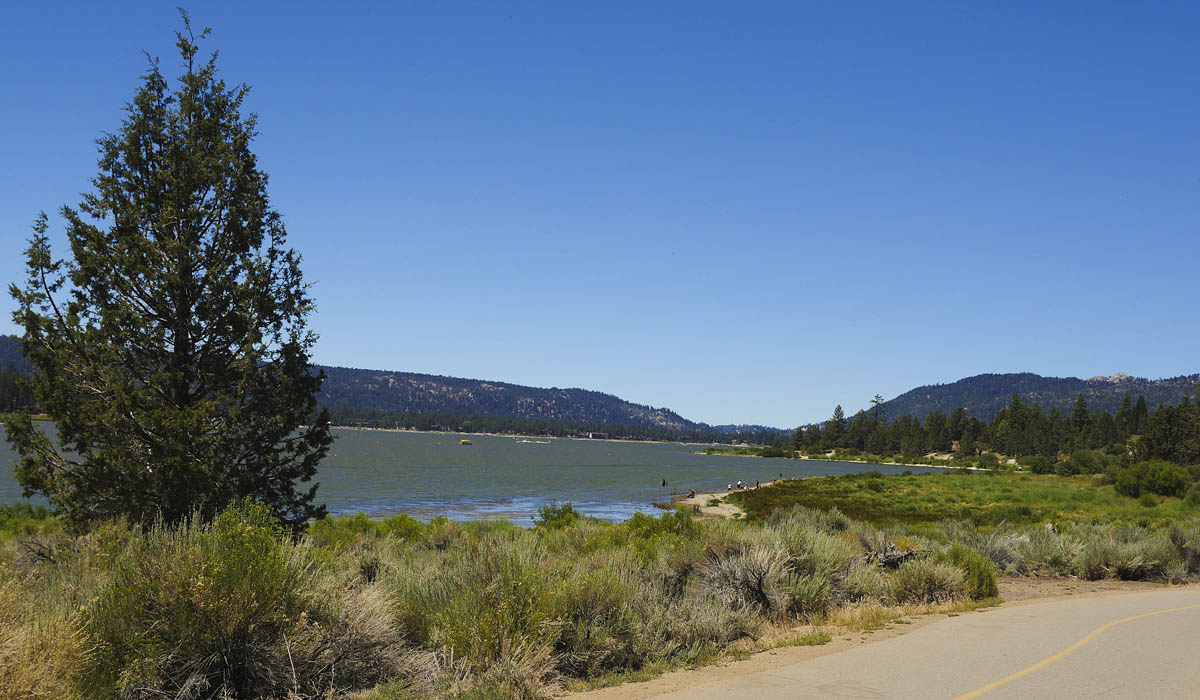
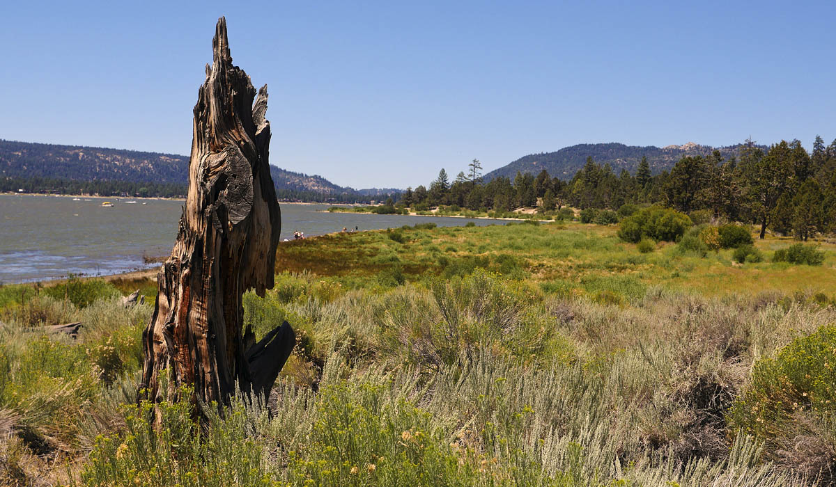
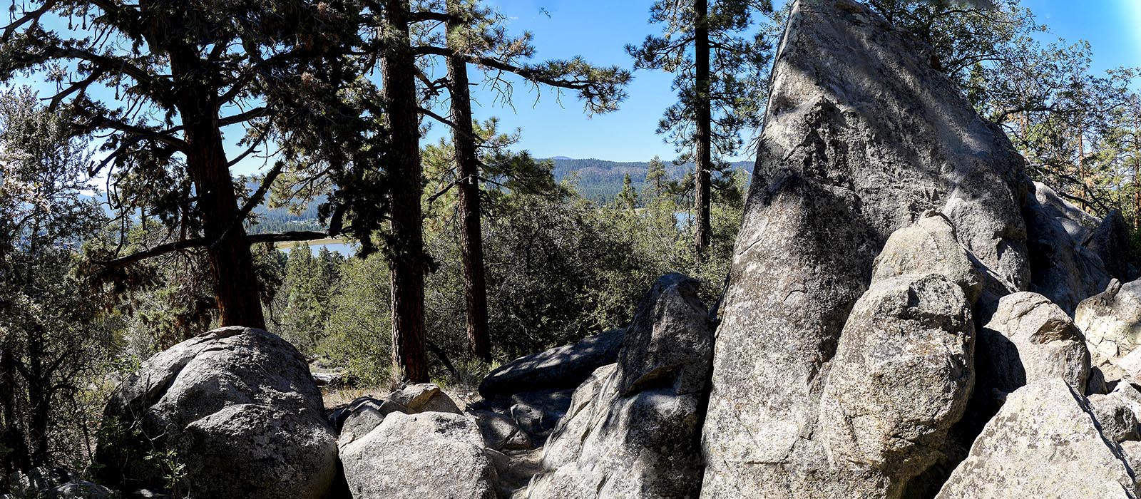
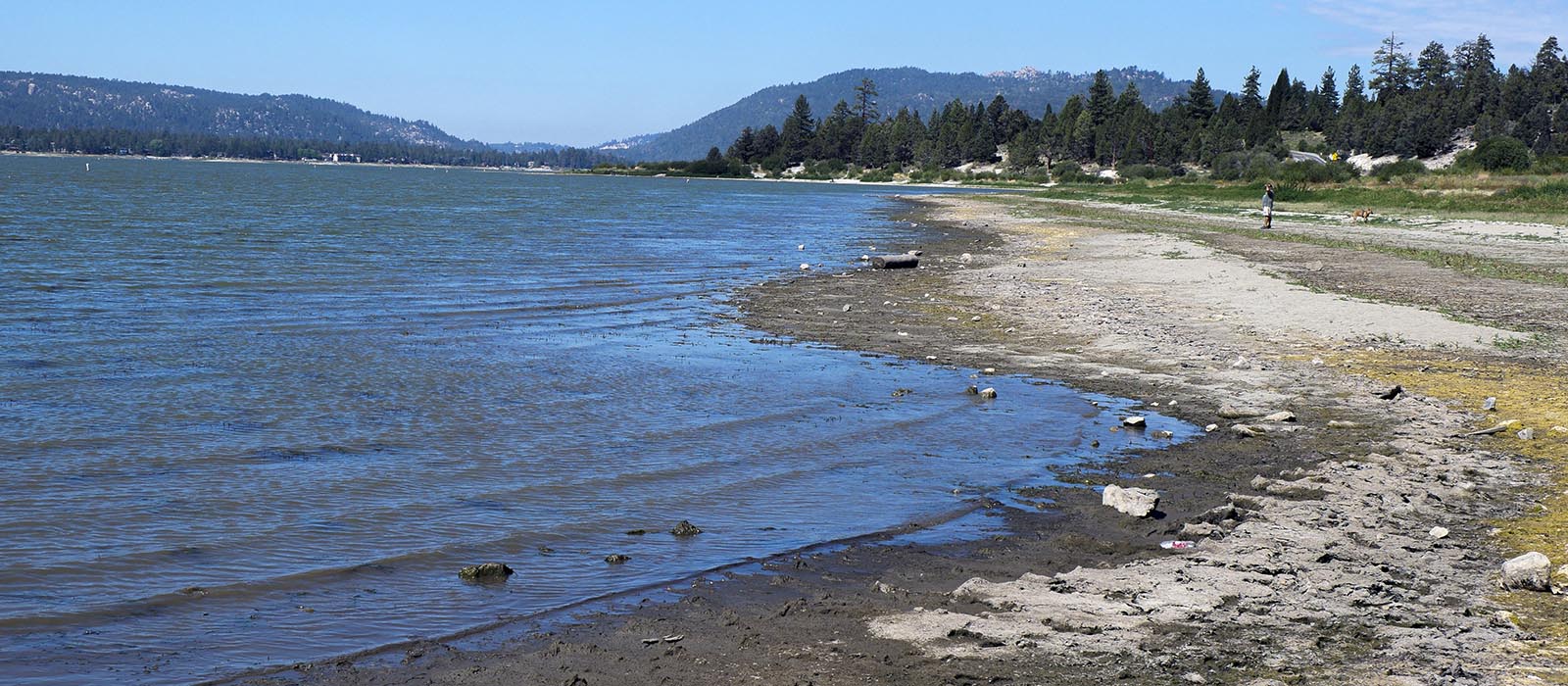
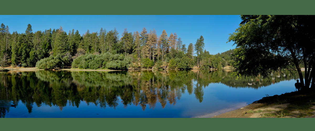
Bear Lake
Woodland Trail
Length 1.6 miles | elevation 232 feet | easy loop
Bear Lake Woodland Trail is located on the north shore near the Stanfield Cutoff across from the Carol Morrison east boat ramp. The site has plenty of parking with a restroom. An Adventure Pass / America the Beautiful Pass is required (you can get a day pass at most stores and at the ranger station).
An informative interpretive guide is provided at the trailhead, with descriptions corresponding to the twenty numbered signs along the trail. You can also download PDF from their website.
This is an easy 1.6 miles loop trail with an elevation of 232 feet. You will see a sign on the right . Just follow the trail to the right . the trail will loop around and come out on the left side behind the restroom. There are partial views of Big Bear Lake on the hike back. If you want to extend your hike you can cross the street and follow the Alpine Pedal Path or hike down to the lake and follow the shoreline.
For All Trails Map and guide click here