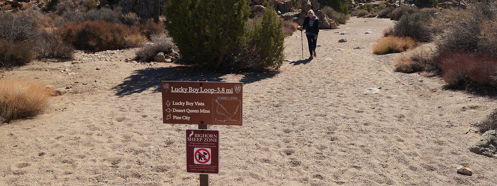
Lucky Boy Vista Trail
Length 3.1 miles | elevation 200 feet | easy loop
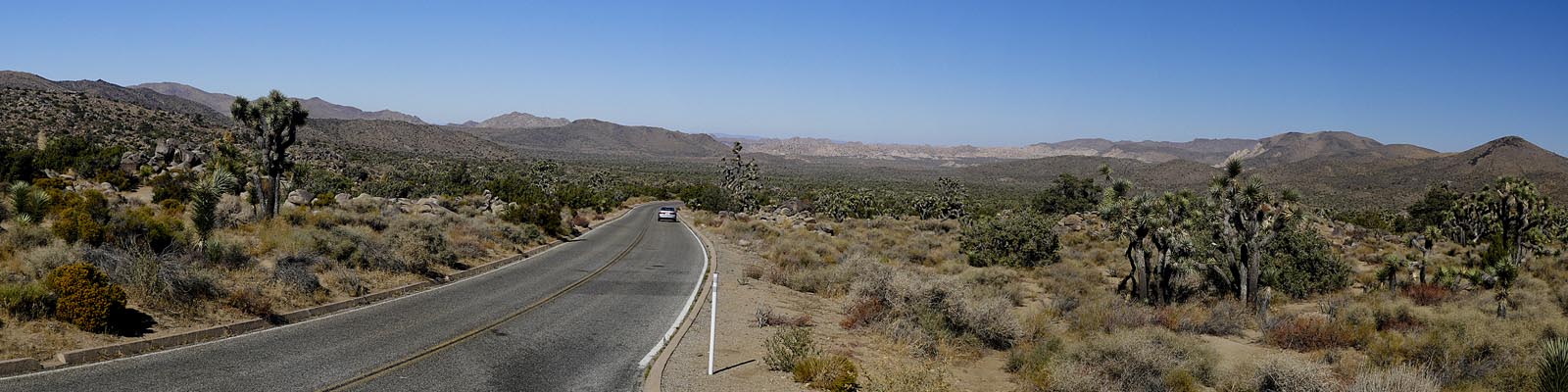
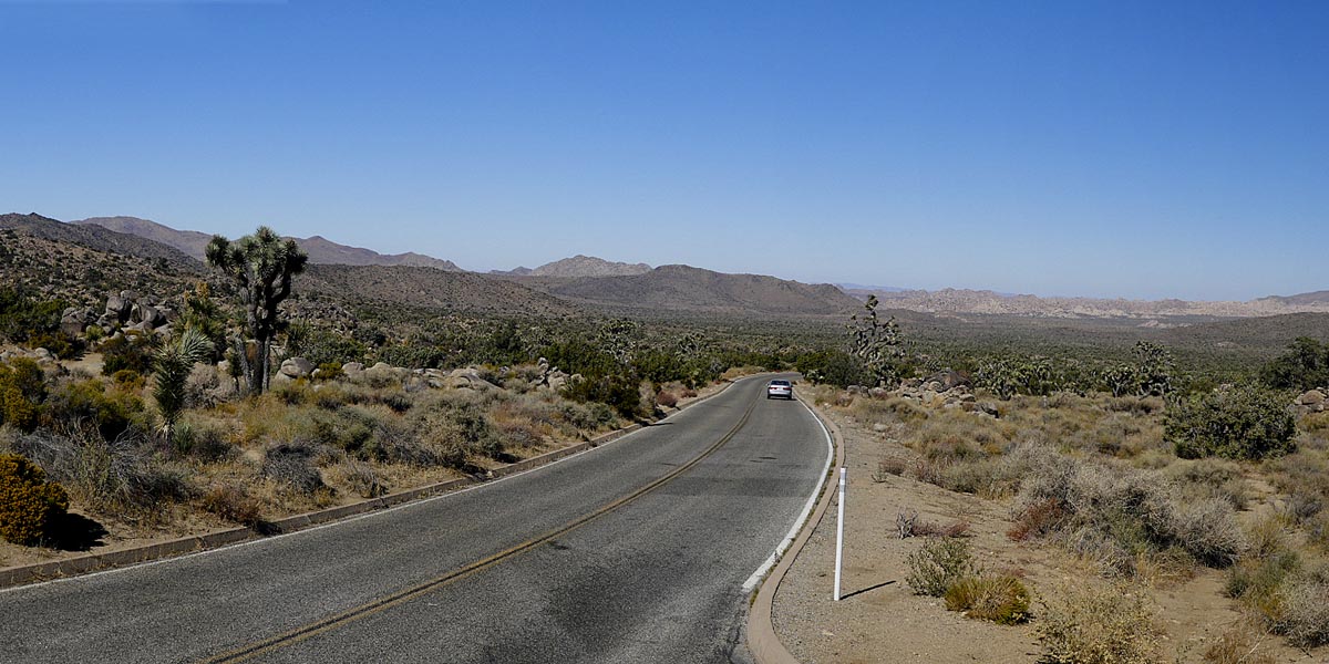
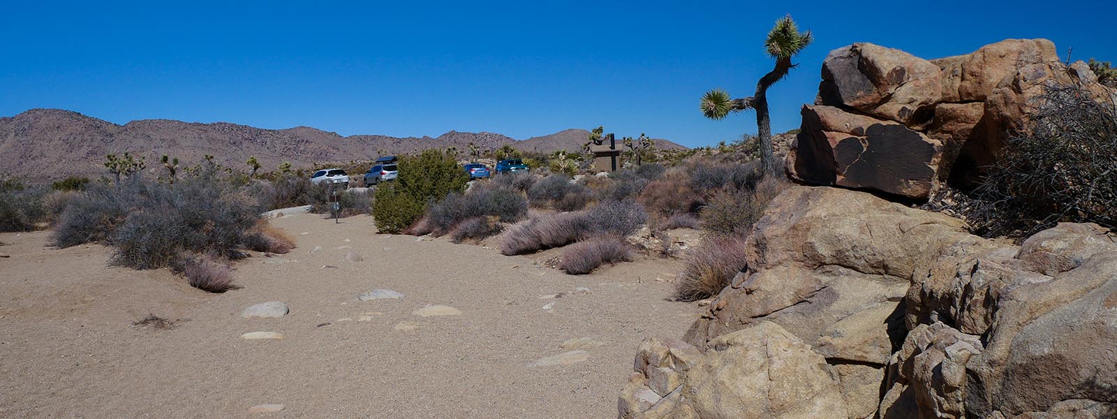
Directions:From Joshua Tree entrance take Park Blvd past Ryan Mountain and look on the right for Desert Queen Mine Road (dirt Road). Across the street from Geology Tour rd. Follow to parking lots. 1st lot holds 3-4 cars, if full contine to next parking lot.
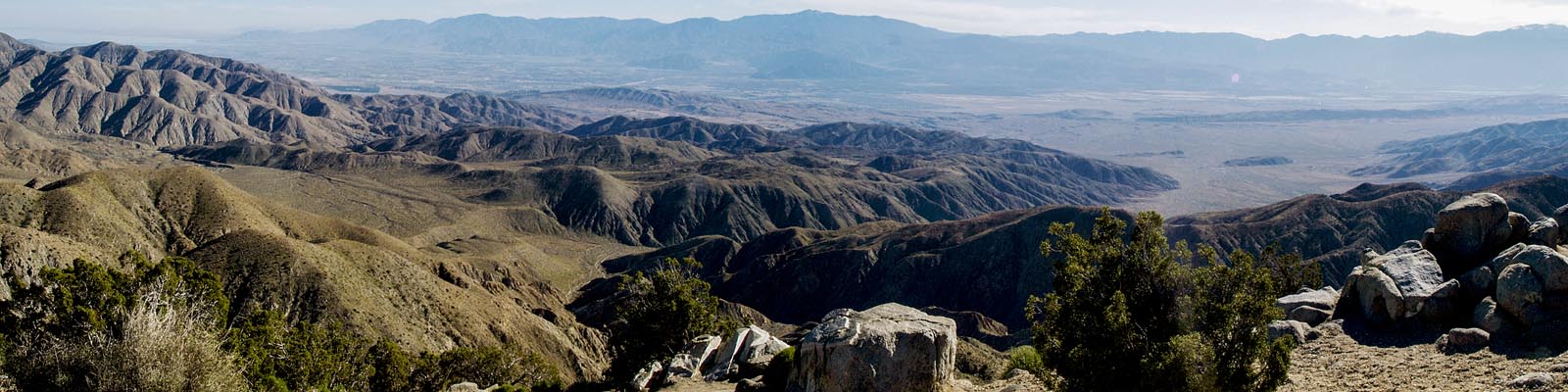
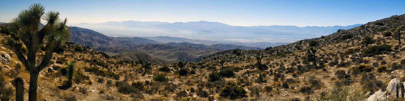
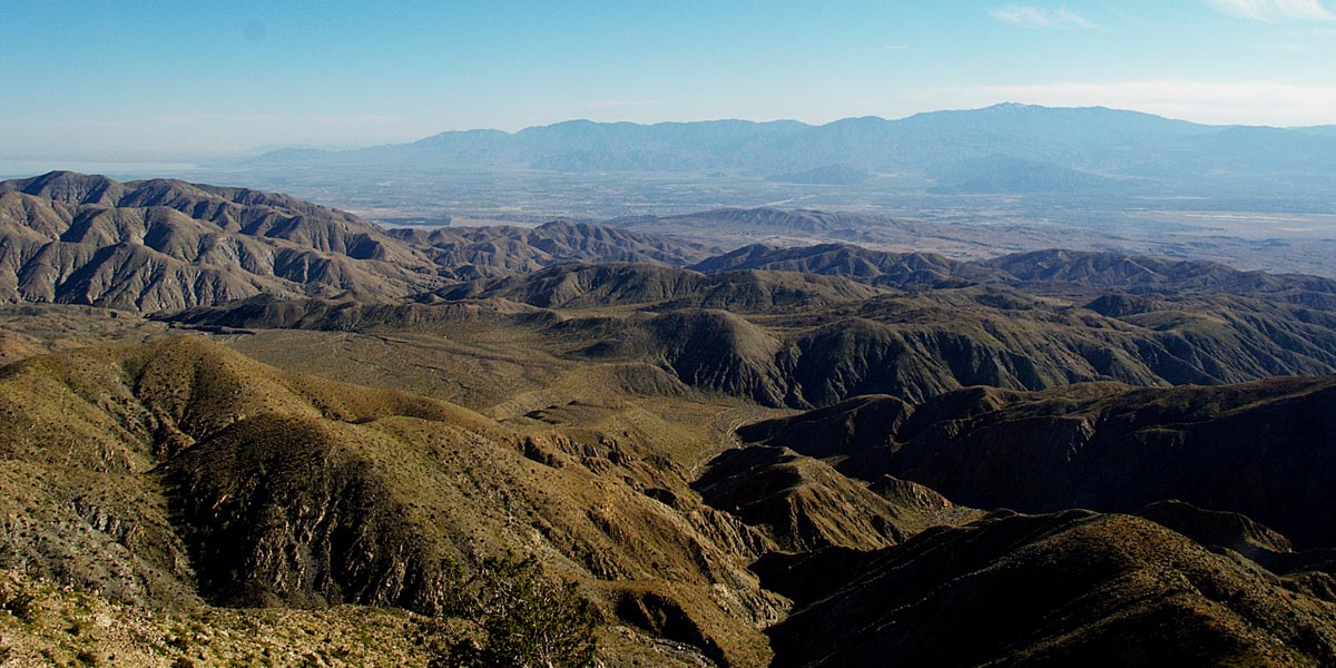
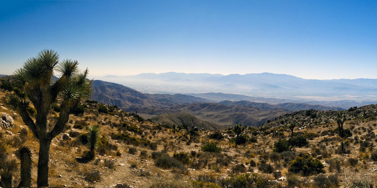
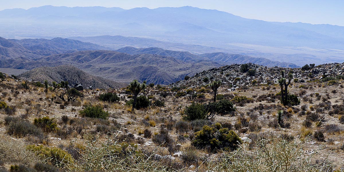
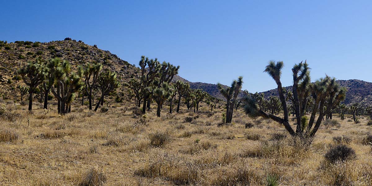
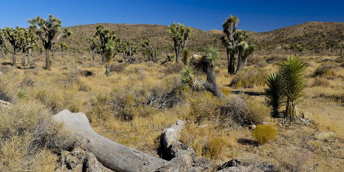
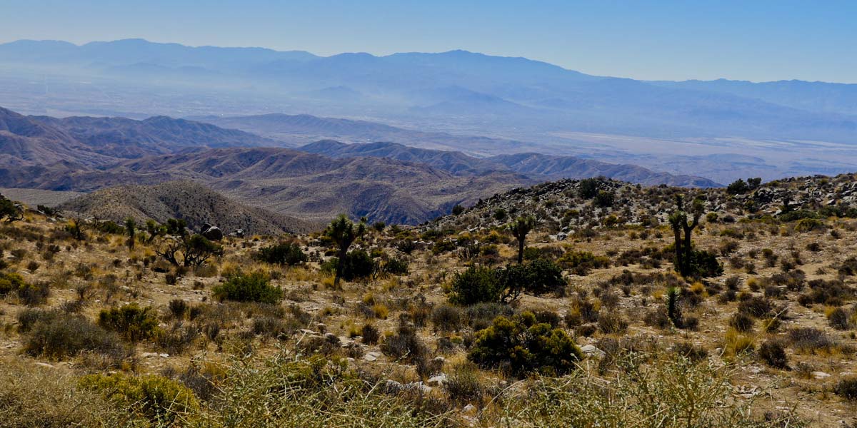
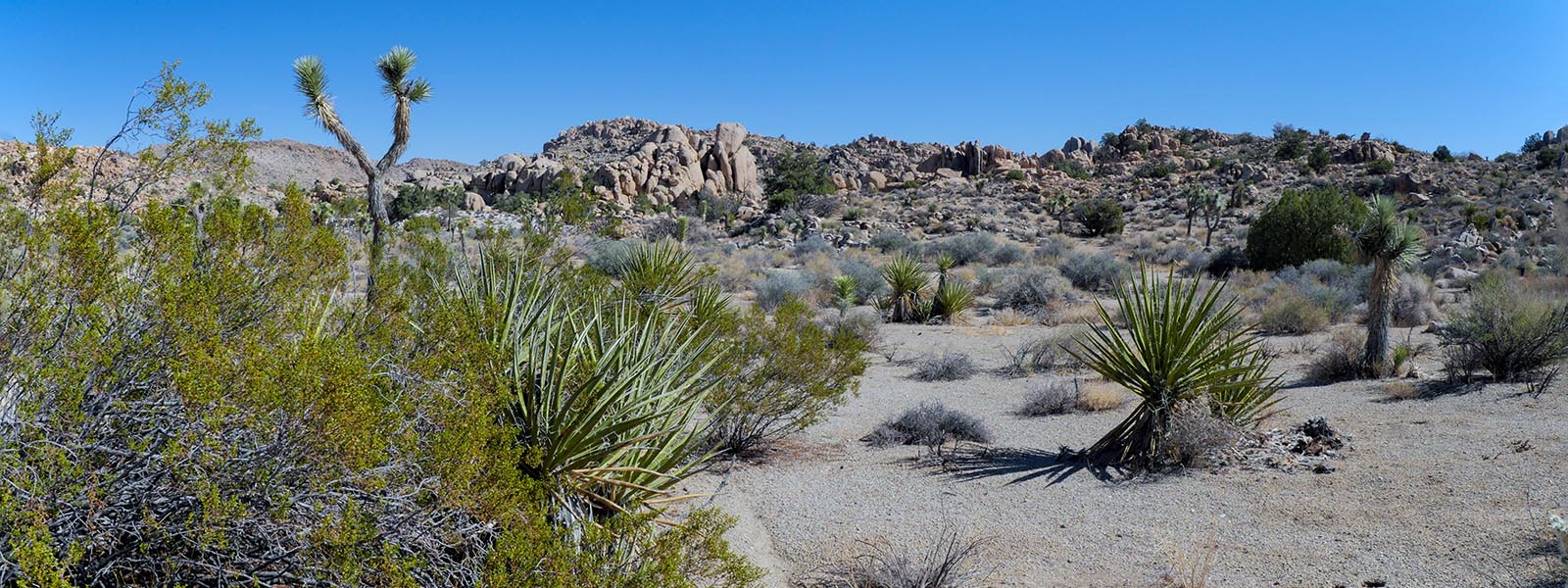
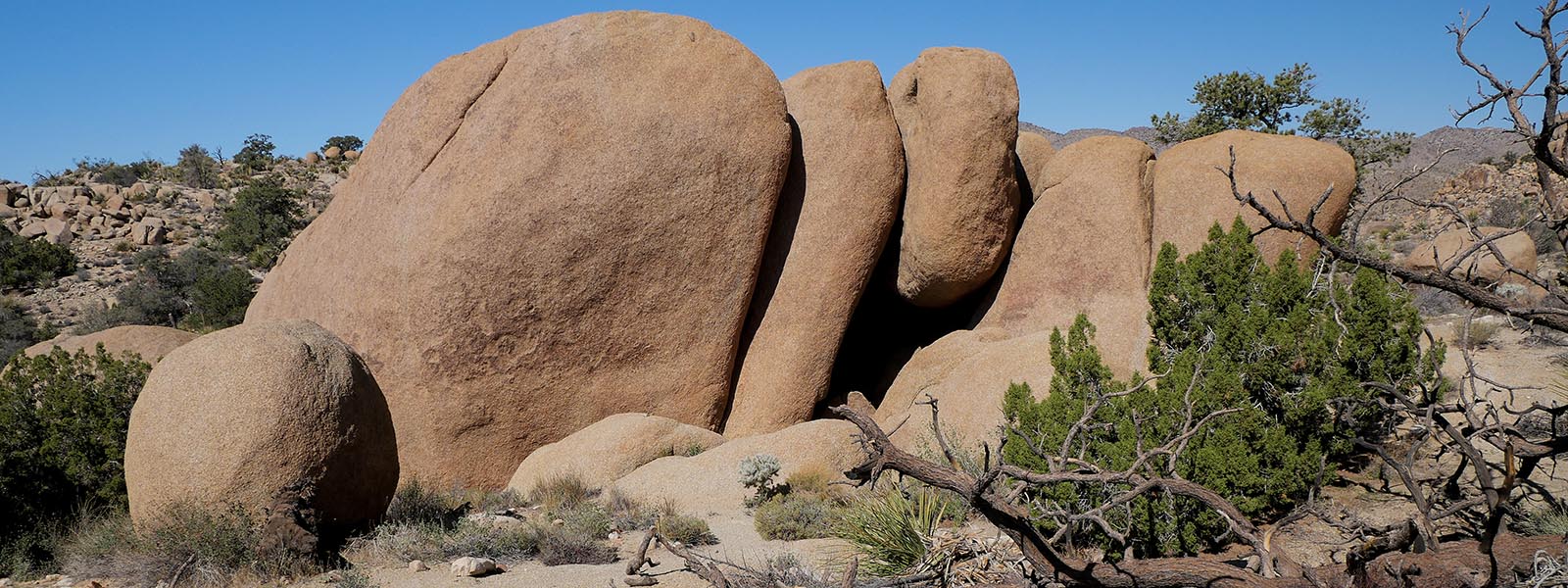
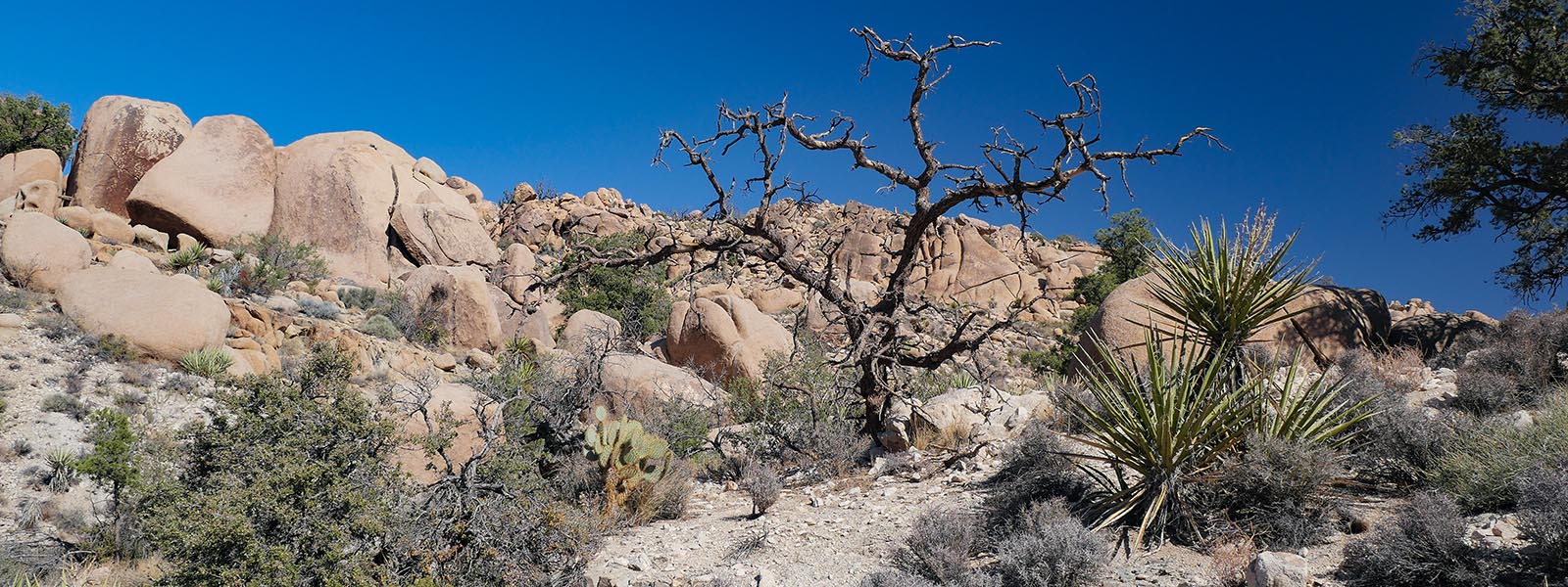
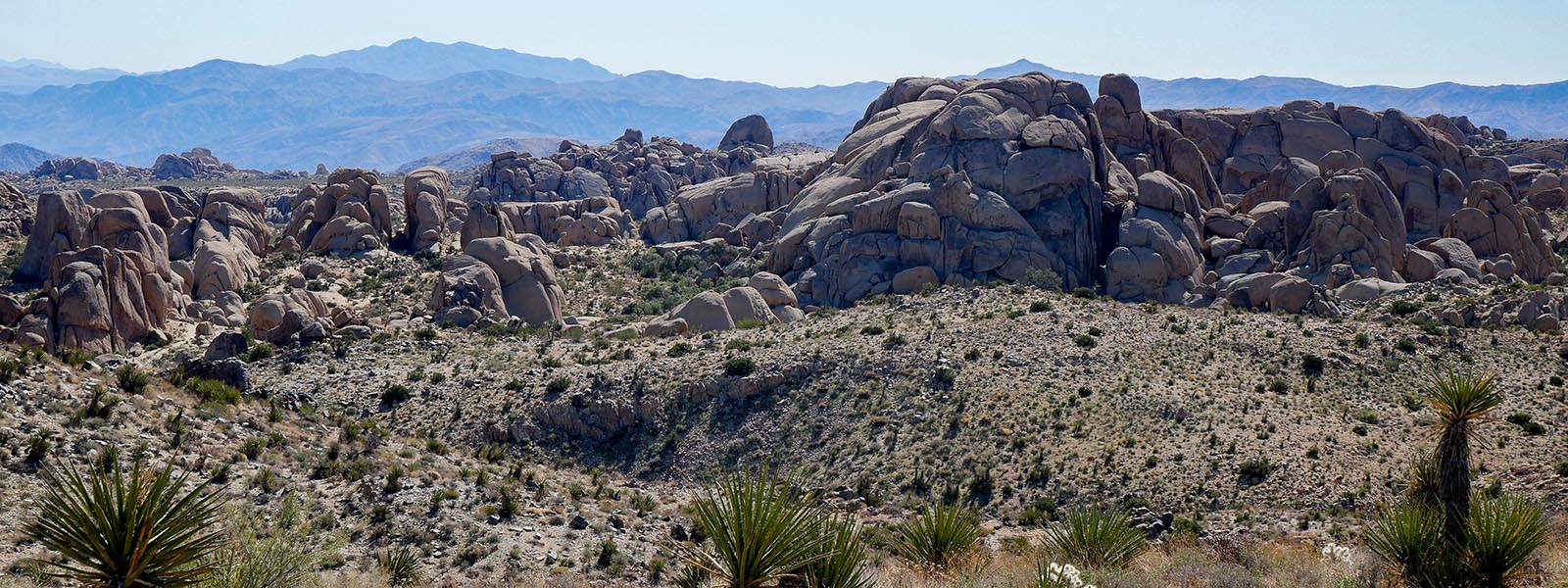
Lucky Boy Vista Trail and Vistais a 3.1 mile lightly trafficked loop trail located near Twentynine Palms, California that features beautiful wild flowers and is good for all skill levels. The trail is primarily used for hiking, walking, nature trips, and bird watching and is best used from March until October.
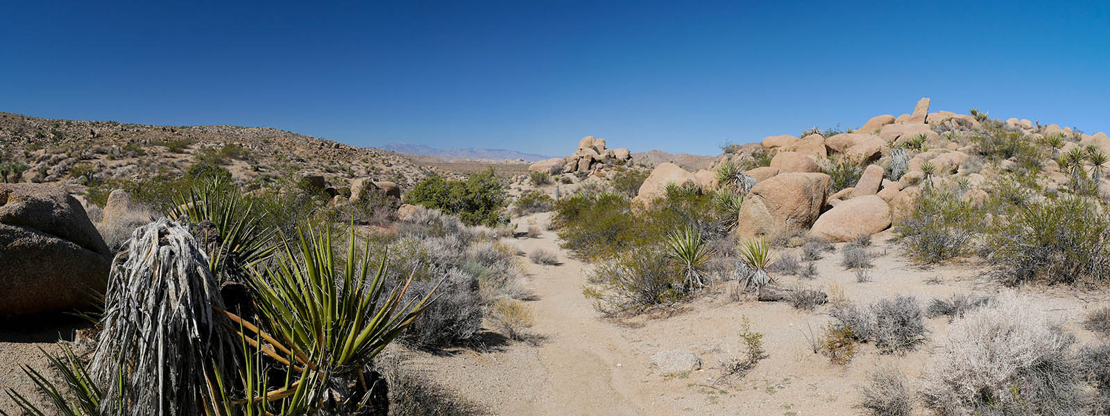
There is a parking lot at each end of the trail connected by a dirt road (Desert Queen Rd) accessible from Park Blvd. One has room for 3 - 4 cars , The other for 10+. It is also the starting point for other hikes.
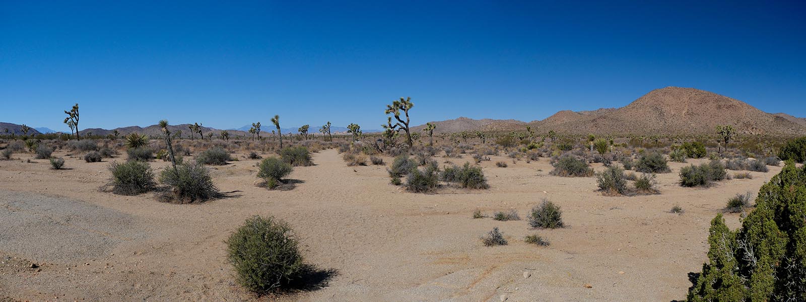
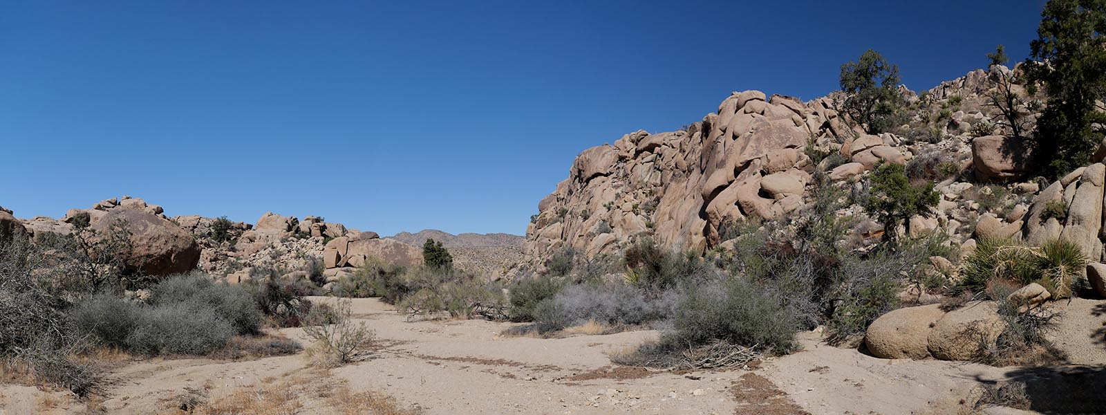
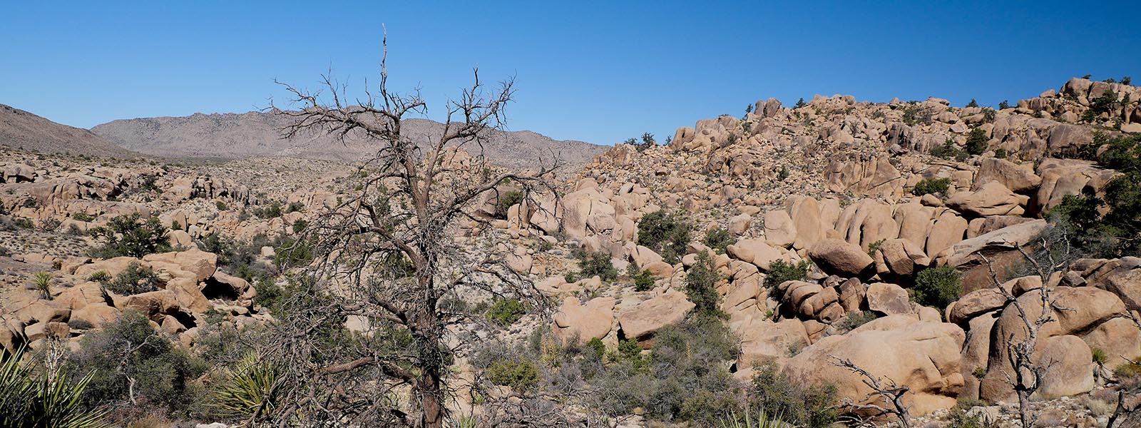
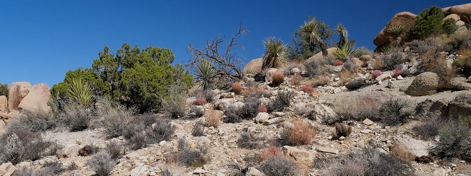
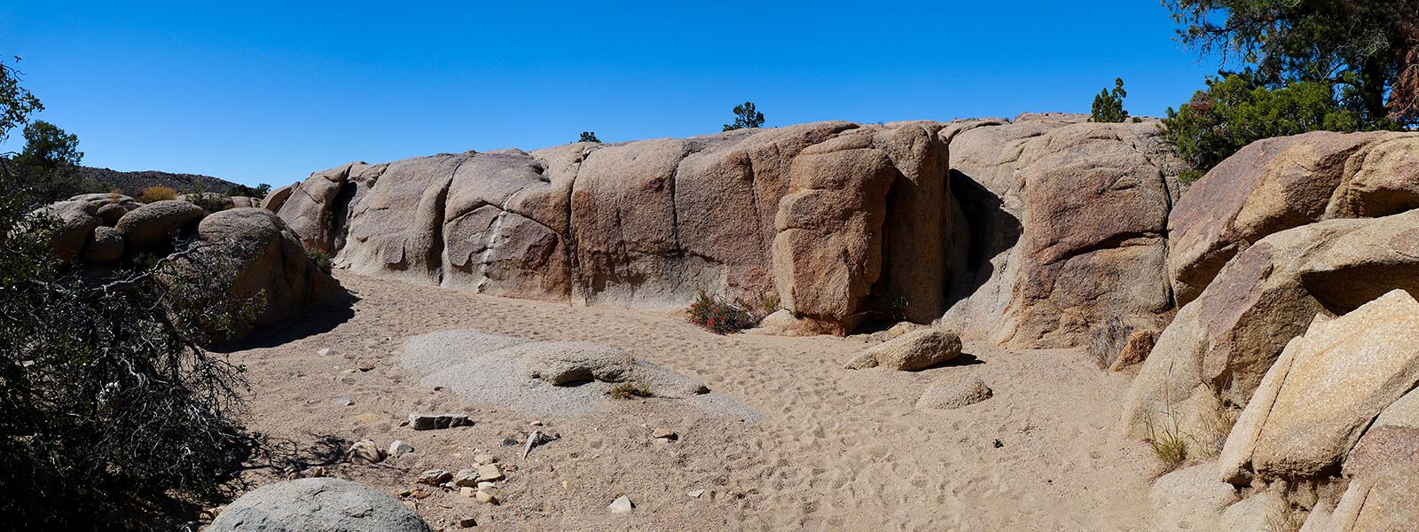
We like starting from the 1st lot. The area has much more trees and bushes than other areas of the park. The trail is easy to follow and only has 1 incline. You do have to hike a sandy wash for about a mile. Try to stay on the edges so it is easier to hike. Once yo get to the other parking lot just head back down the dirt road for .4 miles back to your car.
For more trail and hiking information go to alltrails.com
For more images click here